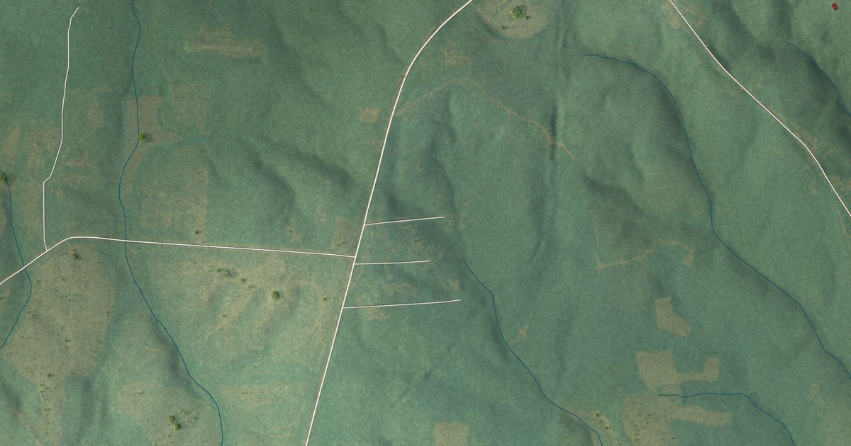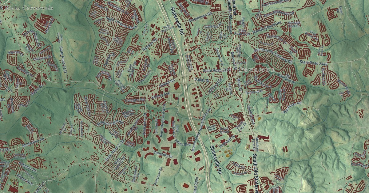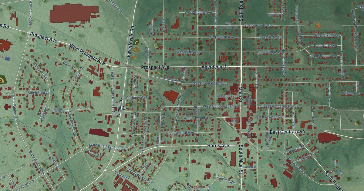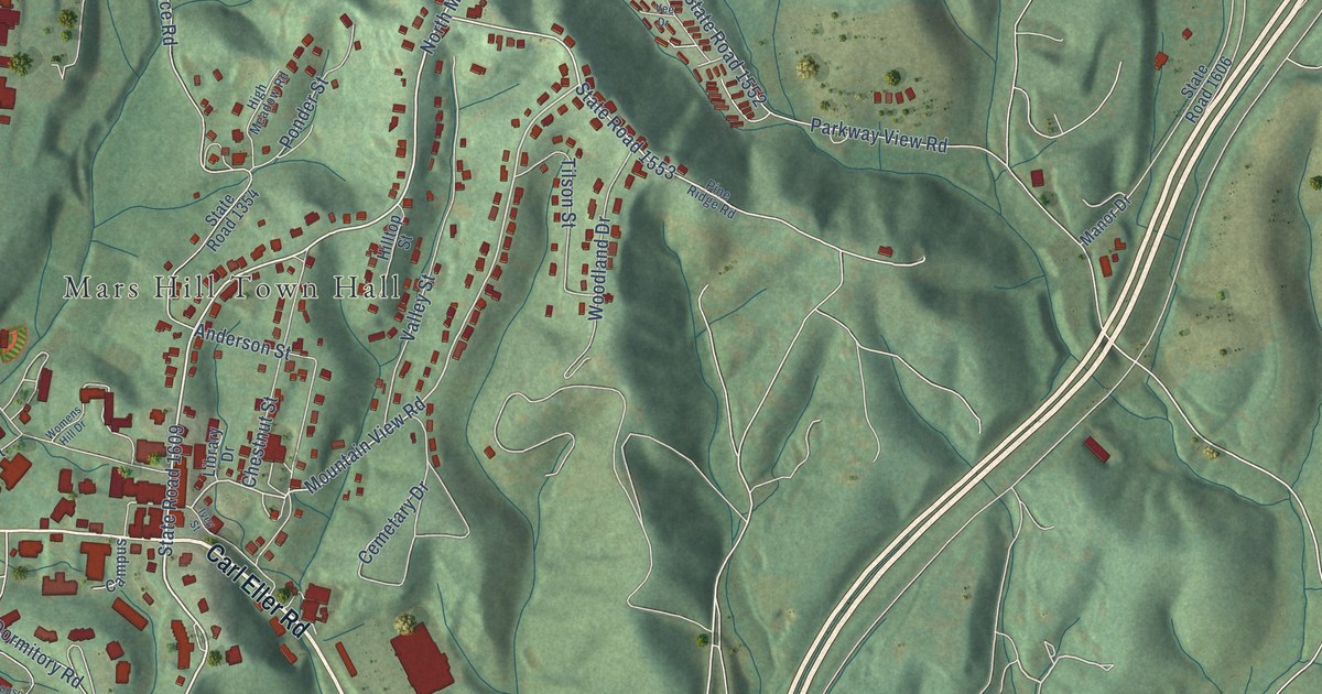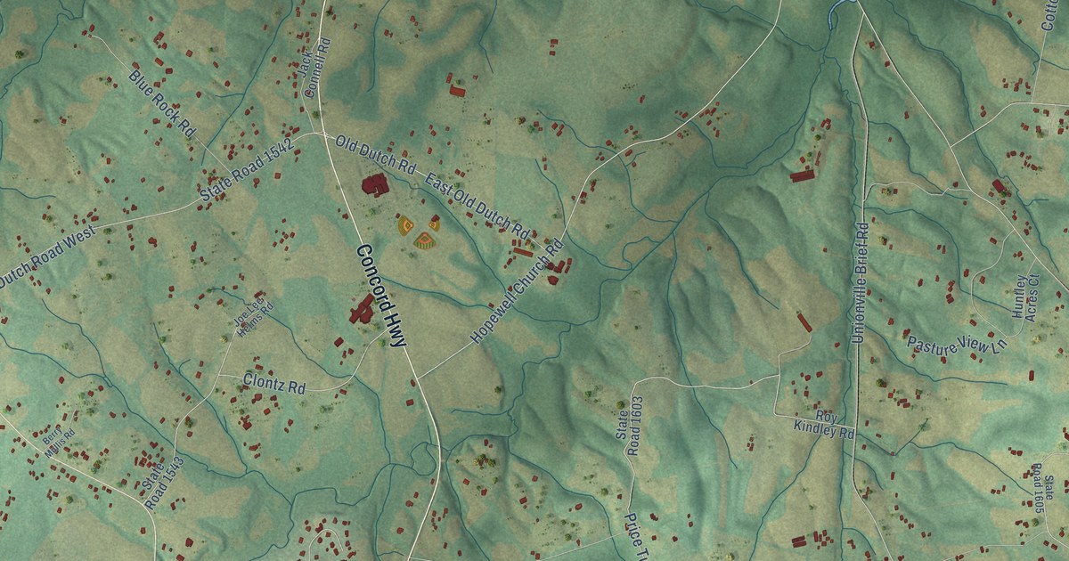
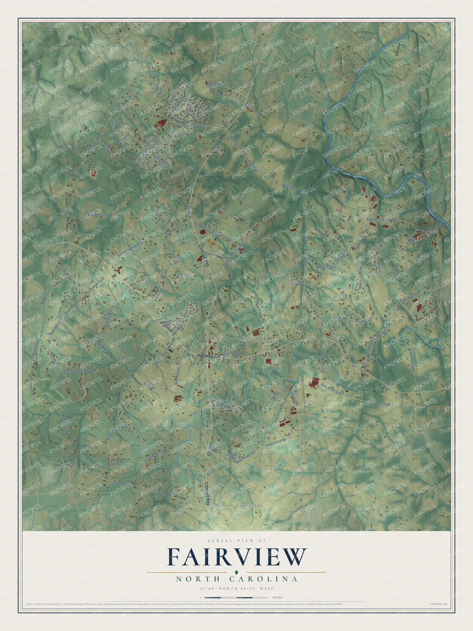
This beautifully detailed map of Fairview, North Carolina was created in 2026 using aerial imagery combined with modern topographical, census, street and landmark data. It's a modern aerial view of Fairview in Union County, North Carolina, that combines modern data with a vintage aesthetic. The roads feature printed names, and if you look closely you can find your exact house accurately shown in its correct location.
Explore an aerial view of Fairview, North Carolina
On this map you'll find Fairview Town Hall, Brief, Bentons Crossroads, Concord Highway, Highway 218, Brief Road, Kerr Road, Surry Lane, Sikes Mill Road, Hopewell Church Road, Price Tucker Road, Black Road, and more. Each red shape is a building, so zoom in on the preview and look for yours.
Here is a piece of Fairview history, in the words of the record. The Town of Fairview puts it this way: "The rhythmic changing of the light at the bustling Hwy 218/Hwy 601 intersection in northernmost Union County signals the heartbeat of the Town of Fairview. The quieter agrarian community that radiates out from this busy intersection has its beginnings going back at least to 1770, as evidenced by a rock found in the southeast quadrant etched with this date."
Fairview is a town in Union County. The Census Bureau counted 3,456 people here in 2020.
Take a closer look at the Fairview map
Names on this map
These names are printed on this map.
Places: Fairview Town Hall, Brief and Bentons Crossroads.
Streets and roads: Concord Highway, Highway 218, Brief Road, Kerr Road, Surry Lane, Sikes Mill Road, Hopewell Church Road, Price Tucker Road, Black Road, State Road 1547, Brief Road East, State Road 1601.
More street names, A to Z
Ahavah Lane, Barrier Farms Road, Berry Mullis Road, Biggers Cemetery Road, Bill Wiley Road, Blue Rock Road, Brent Haigler Road, Brief Road West, Carriker Williams Road, Clontz Long Road, Clontz Road, Cotton Gin Drive, Covey Trail, Crooked Creek Church Road, Crowell Dairy Road, Duck Creek Lane, Earl Duncan Road, East Old Dutch Road, Ferguson Farms Lane, Foxglove Lane, Garrett Road, Goose Creek Drive, Helms and Belk Road, Heritage Lane, Heritage Vw, Howey Bottoms Road, Huntley Acres Court, Indian Trail Fairview Road, Jack Connell Road, Joe Lee Helms Road, Jonah Ridge, Lawyers Road, Lester Mullis Road, Little Road, Longtree Lane, Machado Drive, Martin Tucker Road, Mill Grove Road, Mint Lake Drive, Morgans Cove Road, Noah Helms Road, Old Dutch Road, Old Dutch Road West, Old Ferry Road, Old Fish Road, Pasture View Lane, Pierce Road, Quail Cove Court, Roy Kindley Road, Running Cedar Lane, Shepherds Cv, Simpson Road, Spring Creek Drive, State Road 1004, State Road 1117, State Road 1520, State Road 1525, State Road 1532, State Road 1533, State Road 1534, State Road 1535, State Road 1536, State Road 1537, State Road 1538, State Road 1542, State Road 1543, State Road 1544, State Road 1546, State Road 1549, State Road 1553, State Road 1600, State Road 1603, State Road 1604, State Road 1605, State Road 1606, State Road 1607, State Road 1609, State Road 1610, State Road 1611, State Road 1666, State Road 1667, State Road 2322, Tallwood Drive, Tesh Road, Thornridge Drive, Twin Oaks Drive, Unionville Brief Road, Water Oak Drive, Water Oak Lane, West Duncan Road, Windrow Drive, Windsor Greene Drive, Woodbridge Lane.
Created by KNOWOL in 2026. The buildings are small red shapes, the roads carry their printed names, and shaded relief shows the shape of the land. The title panel reads "AERIAL VIEW OF FAIRVIEW NORTH CAROLINA" with 35°08' NORTH 80°32' WEST.
It suits a den, a classroom or a front hall, and it makes a gift for anyone with Fairview roots. Open the preview and find the block you know. See sizes and frames for the Fairview map.