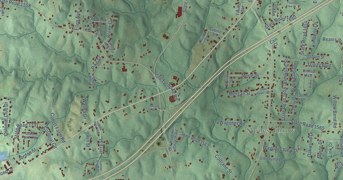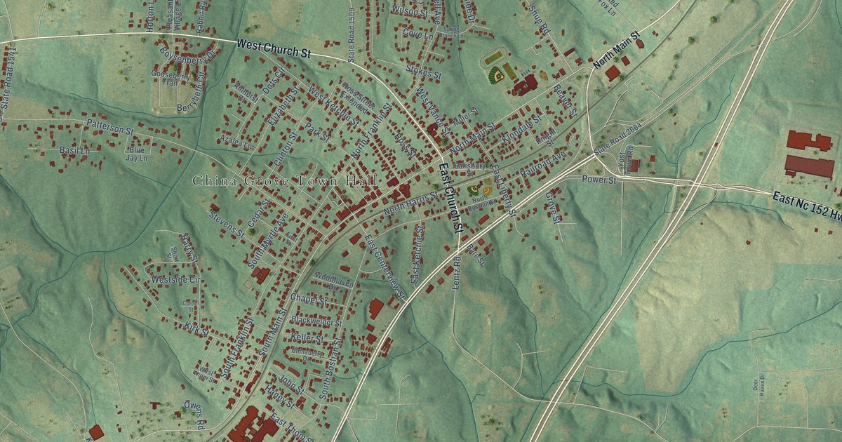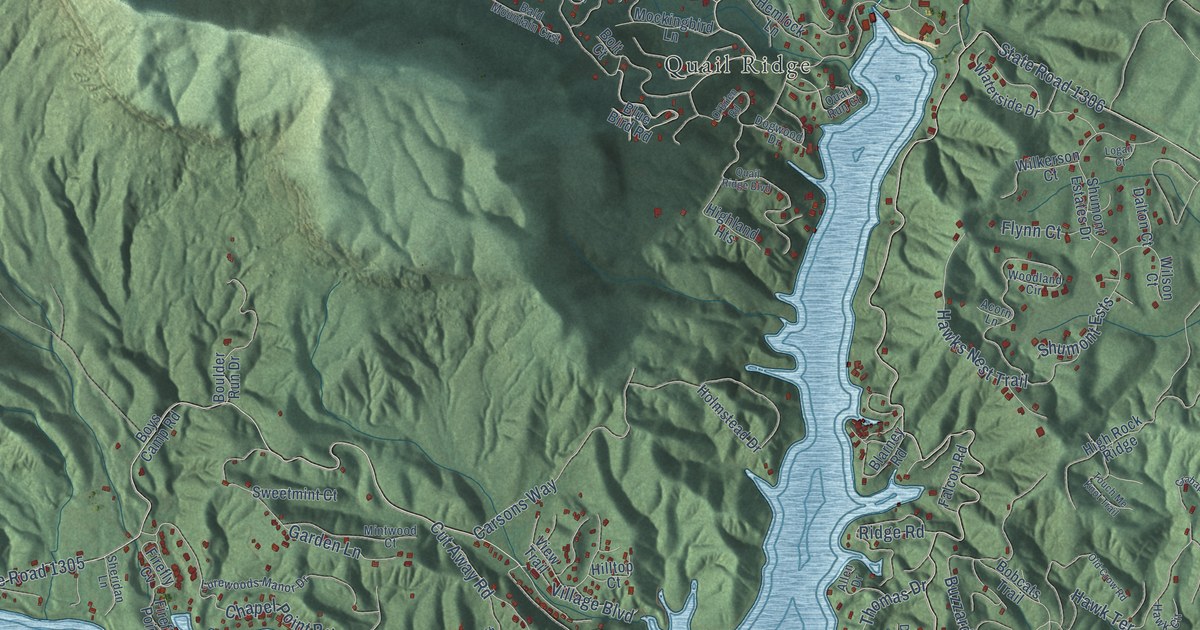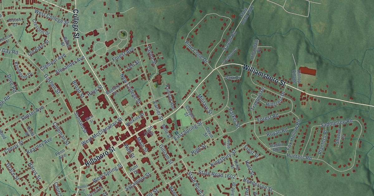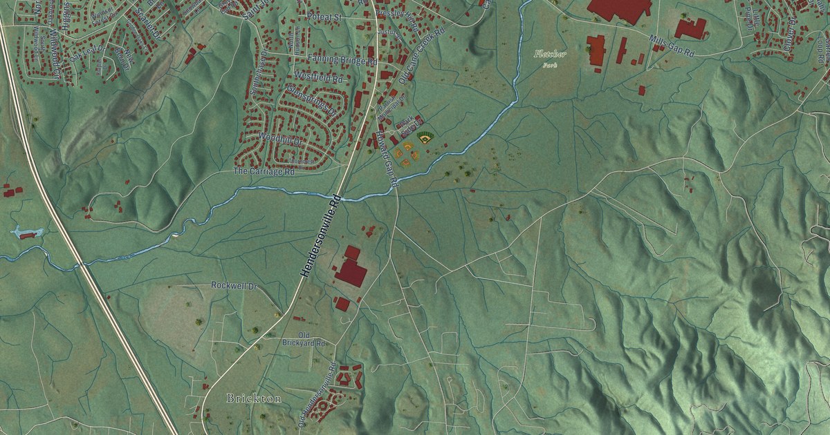
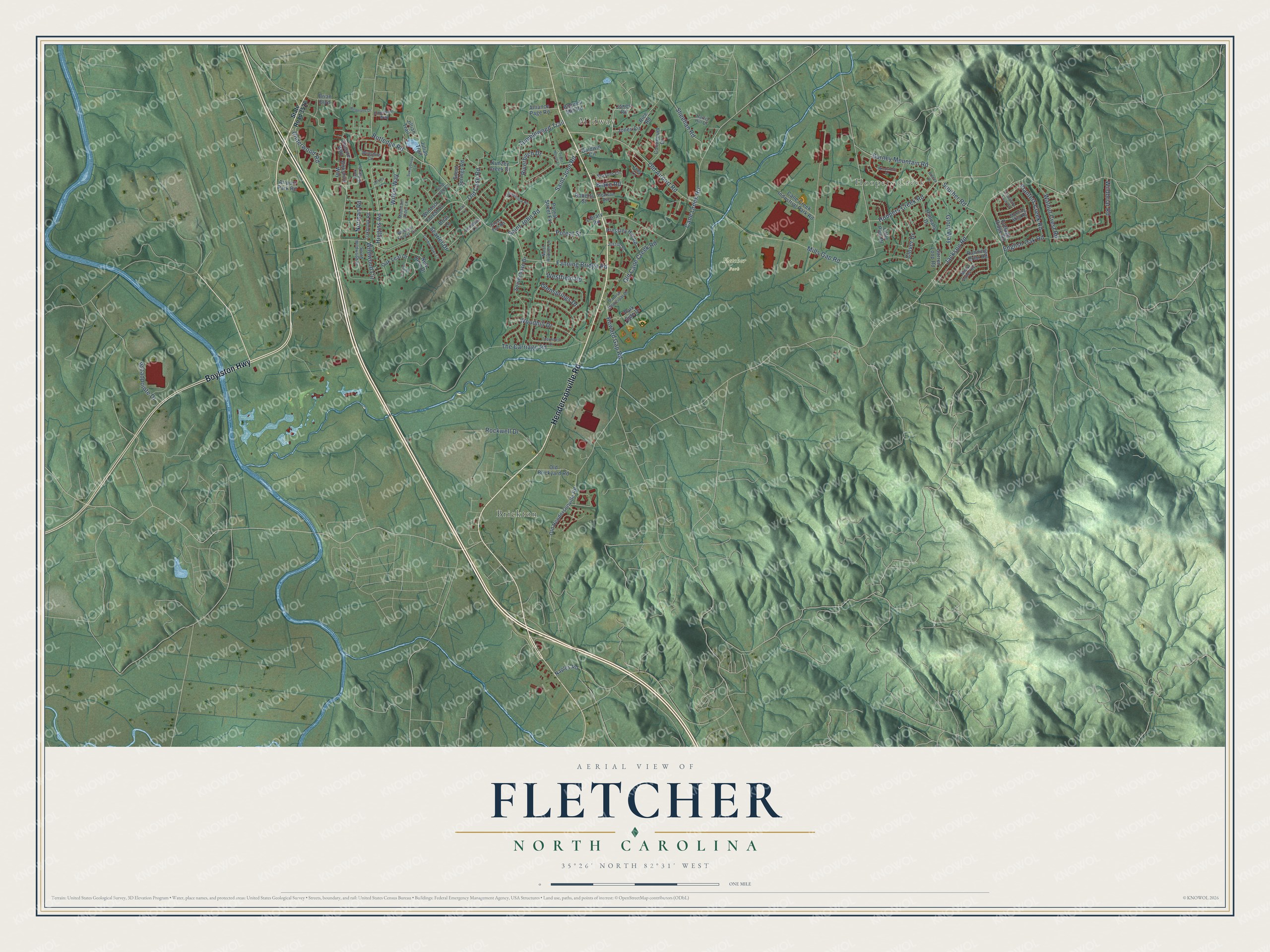
This beautifully detailed map of Fletcher, North Carolina was created in 2026 using aerial imagery combined with modern topographical, census, street and landmark data. It's a modern aerial view of Fletcher in Henderson County, North Carolina, that combines modern data with a vintage aesthetic. The roads feature printed names, and if you look closely you can find your exact house accurately shown in its correct location.
Explore an aerial view of Fletcher, North Carolina
On this map you'll find Hoopers Creek, Midway, Fletcher Park, Brickton, Hendersonville Road, Boylston Highway, Fanning Bridge Road, The Carriage Road, Mills Gap Road, Cane Creek Road, Rutledge Road, Old Airport Road, and more. Each red shape is a building, so zoom in on the preview and look for yours.
Fletcher has a story worth telling. The record at dncr.nc.gov puts it this way: "A landmark in western North Carolina, Calvary Episcopal Church has held services in Fletcher for over 150 years."
Fletcher is a town in Henderson County. The Census Bureau counted 7,987 people here in 2020.
Take a closer look at the Fletcher map
Names on this map
These names are printed on this map.
Places: Hoopers Creek, Midway, Fletcher Park and Brickton.
Streets and roads: Hendersonville Road, Boylston Highway, Fanning Bridge Road, The Carriage Road, Mills Gap Road, Cane Creek Road, Rutledge Road, Old Airport Road, Underwood Road, Wilkie Way, Glensprings Drive, Howard Gap Road.
More street names, A to Z
Airport Park Road, Alliance Page Road, American Way, Bagwell Mill Road, Baldwin Circle, Birkshire Way, Blake Road, Breezy Drive, Brian Boulevard, Briar Lane, Broadpointe Drive, Burney Mountain Road, Cane Creek Industrial Park Road, Chesire Way, Clayton Drive, Clover Drive, Continuum Drive, Cottage Ridge Road, English Oak Road, Garren Loop Road, Glory Way, Golden Oaks Lane, Grove End Road, Hannahs Drive, Harris Hill Drive, Higgins Road, Hoopers Creek Road, Jackson Road, Jeffrey Lane, Jillian Trail, Jones Circle, Jones Road, Julian Trail, Justus Street, Kimzey Creek Drive, Library Road, Lilac Lane, Little Pine Drive, Livingston Farm Road, Misty Valley Road, Morning Mist Road, Mountain Alder Lane, Naples Road, New Bern Drive, Norman Road, North Hudson Lane, Oakbrook Road, Oak Leaf Drive, Old Brickyard Road, Old Cane Creek Road, Old Case Road, Old Hendersonville Road, Park Ridge Drive, Park Side Drive, Parrish Municipal Drive, Pearson Avenue, Planters Creek Road, Poteat Street, Poteat Street Extension, Pressley Hill Road, Redmond Drive, Rice Road, Riverbirch Drive, Roberts Street, Rockwell Drive, Running Briar Road, Saint John Road, Scarlet Drive, Seasons Circle, Sheehan Road, Silent Springs Road, Snowball Lane, Southchase Drive, Souther Road, South Wildwood Lane, State Road 3526, Stonehollow Road, Sunnybrook Lane, Thea Lane, Thorncrest Drive, Tudor House Lane, Tulip Tree Court, Tumbleweed Trail, Walnut Crest Road, Westfield Road, Wildbriar Road, Wildwood Circle, Wiltshire Circle, Windsor Forest Circle, Windsor Forest Court, Windstone Drive, Woodhill Drive.
Created by KNOWOL in 2026. The buildings are small red shapes, the roads carry their printed names, and shaded relief shows the shape of the land. The title panel reads "AERIAL VIEW OF FLETCHER NORTH CAROLINA" with 35°26' NORTH 82°31' WEST.
It looks right in a kitchen, an office or a den, and it's a gift for anyone who grew up in Fletcher or moved away. Open the preview and find your street. See sizes and frames for the Fletcher map.