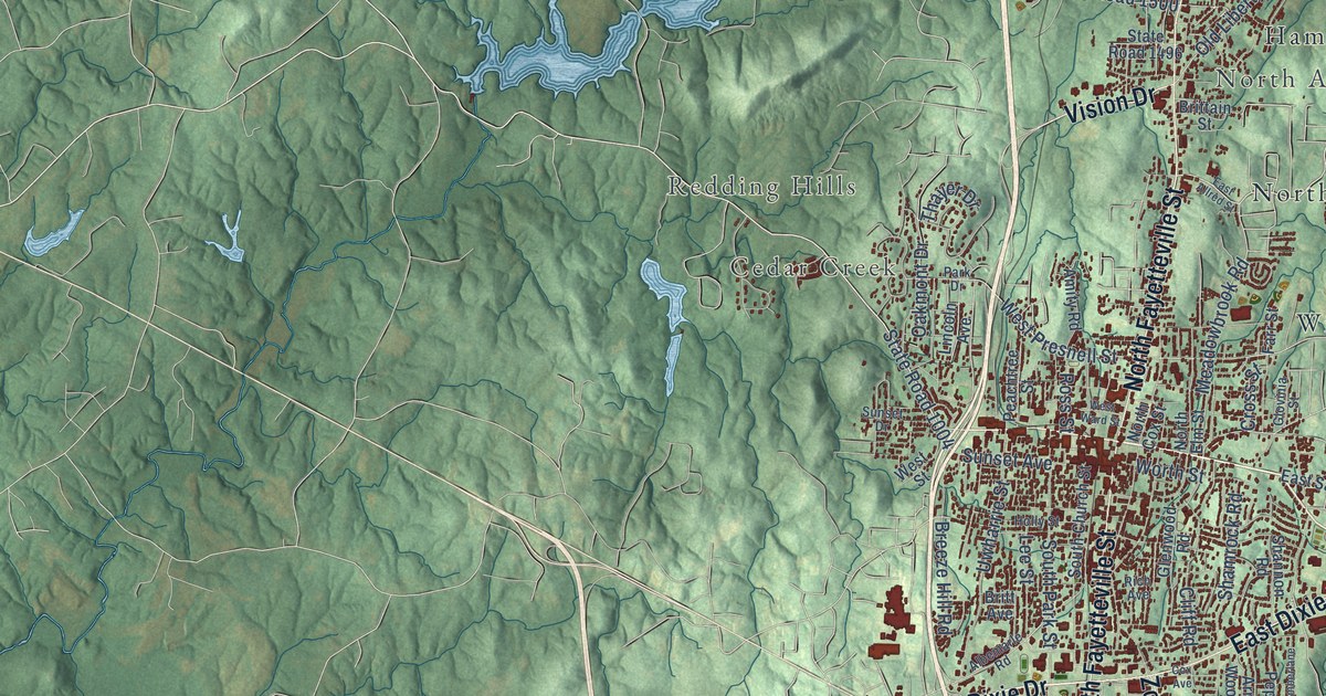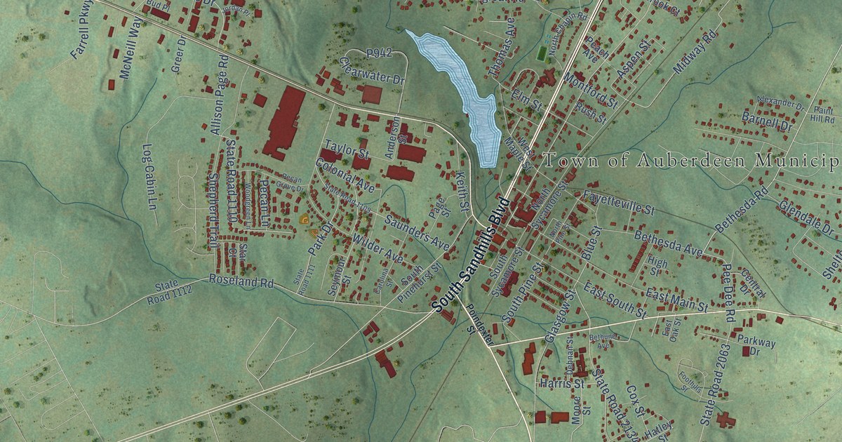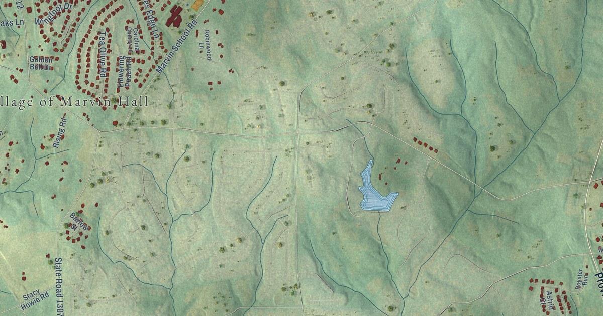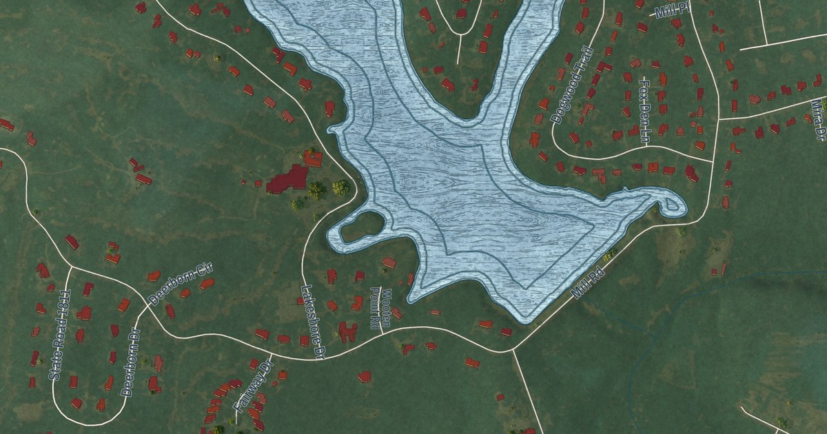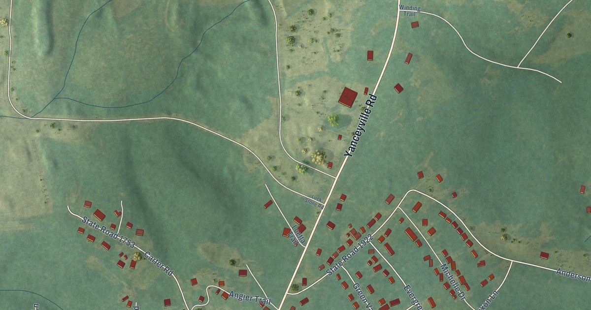
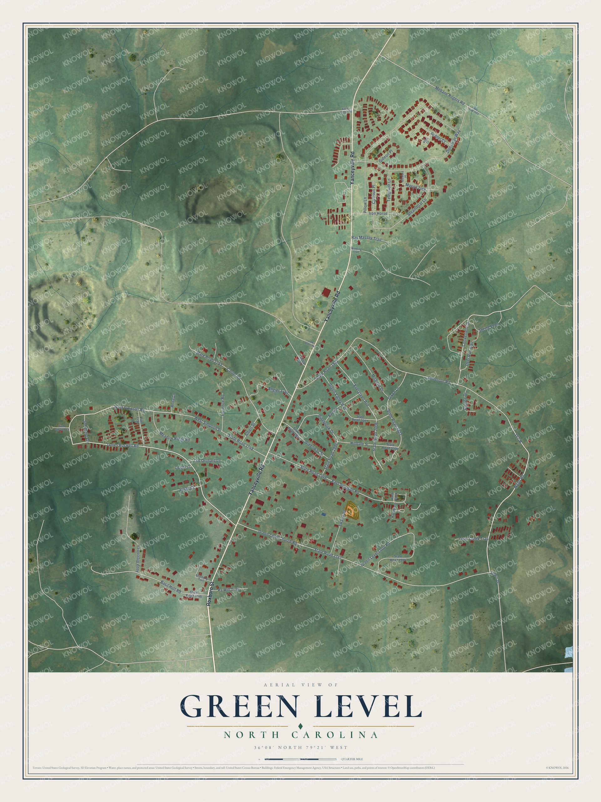
This beautifully detailed map of Green Level, North Carolina was created in 2026 using aerial imagery combined with modern topographical, census, street and landmark data. It's a modern aerial view of Green Level in Alamance County, North Carolina, that combines modern data with a vintage aesthetic. The roads feature printed names, and if you look closely you can find your exact house accurately shown in its correct location.
Explore an aerial view of Green Level, North Carolina
On this map you'll find Roxboro Street, Yanceyville Road, James Boswell Road, Wyatt Road, West Simpson Road, Convenient Drive, State Road 1747, Green Level Church Road, Anderson Road, State Road 1922, East Simpson Road, State Road 1946, and more. Each red shape is a building, so zoom in on the preview and look for yours.
Every town has a first chapter, and Green Level is no exception. The Town of Green Level puts it this way: "Green Level was originally called Ruby Dew back in the 1930's. It was a small tobacco farming community that was heavily populated by African Americans. The first school that was built in 1934 for the students of Green Level is still standing today and served as the old Town Hall."
Green Level is a town in Alamance County. The Census Bureau counted 3,152 people here in 2020.
Take a closer look at the Green Level map
Names on this map
These names are printed on this map.
Streets and roads: Roxboro Street, Yanceyville Road, James Boswell Road, Wyatt Road, West Simpson Road, Convenient Drive, State Road 1747, Green Level Church Road, Anderson Road, State Road 1922, East Simpson Road, State Road 1946.
More street names, A to Z
161-B, Albert Street, Angier Trail, Anna Lane, Apple Blossom Lane, Basil Holt Road, Bearberry Trail, Birch Drive, Brice Court, Calhoun Place, Carter Road, Catrice Drive, Deer Run Trail, Dewitt Drive, Dixon Lane, Donelson Way, Evergreen Avenue, Florence Road, Gideon Place, Green Level Loop Road, Green Valley Boulevard, Greenway Street, Hard Rock, Hardwood, Hilldale Street, Iron Horse, Liggins Court, Loetta Trail, Luck Stone Road, Mason Trce, Meadow Ridge Road, Mebane Rogers Road, Michelle Drive, Old Orchard Lane, Otter Creek Trail, Pa Will Trail, Pillow Lane, Pinebrook Drive, Poe Trail, Ray Massey Trail, Sam Gwynn Court, Sandburg Drive, Sandy Cross Road, Spring Loop, State Road 1746, State Road 1748, State Road 1753, State Road 1921, State Road 1923, State Road 1924, State Road 1993, State Road 1994, State Road 2001, State Road 2006, State Road 2008, Steamboat Lane, Steward Place, Sumter Court, Swann Road, Telegraph Lane, Violet Court, West Simpson Street, Winding Trail.
Created by KNOWOL in 2026. The buildings are small red shapes, the roads carry their printed names, and shaded relief shows the shape of the land. The title panel reads "AERIAL VIEW OF GREEN LEVEL NORTH CAROLINA" with 36°08' NORTH 79°21' WEST.
Hang it in the hallway, the office or the cabin, or give it to someone who left Green Level and still calls it home. Open the preview and look for a street you know. See sizes and frames for the Green Level map.