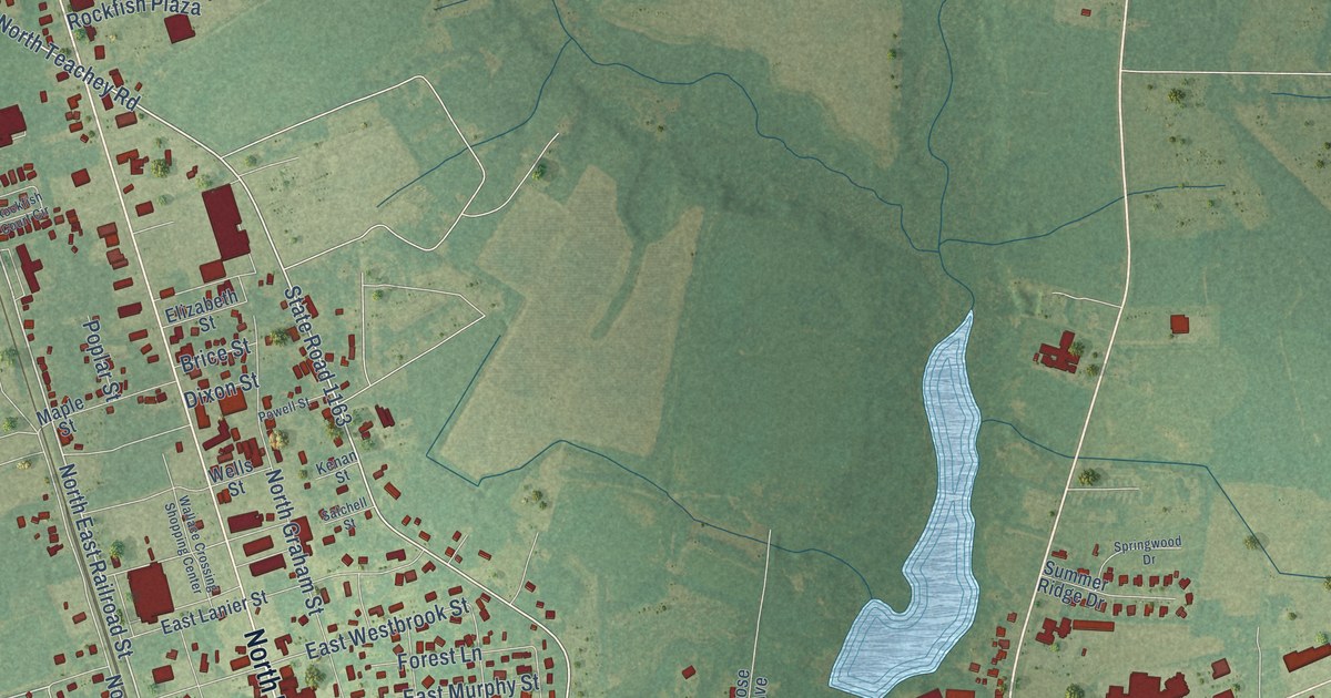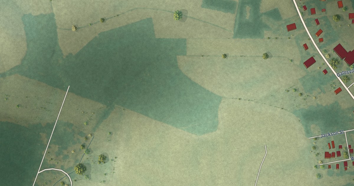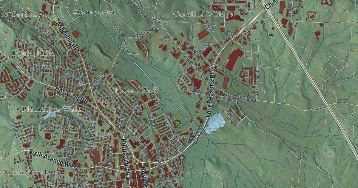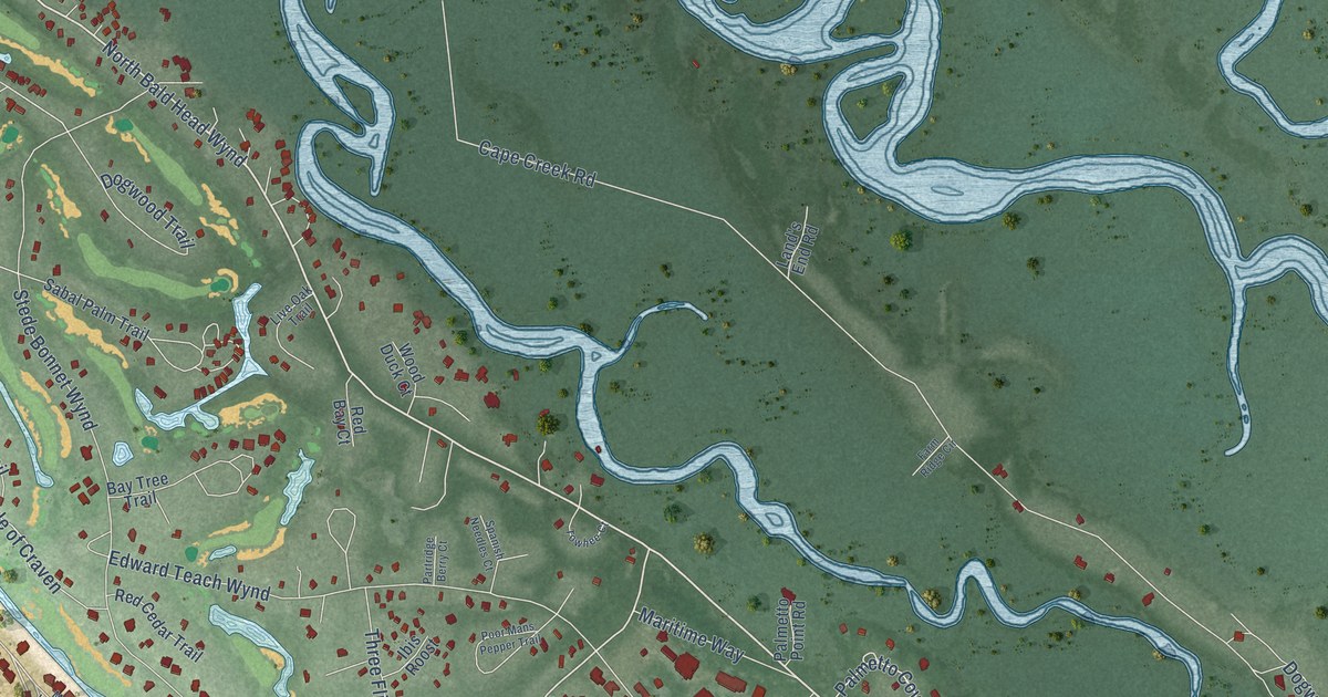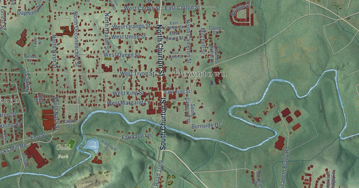
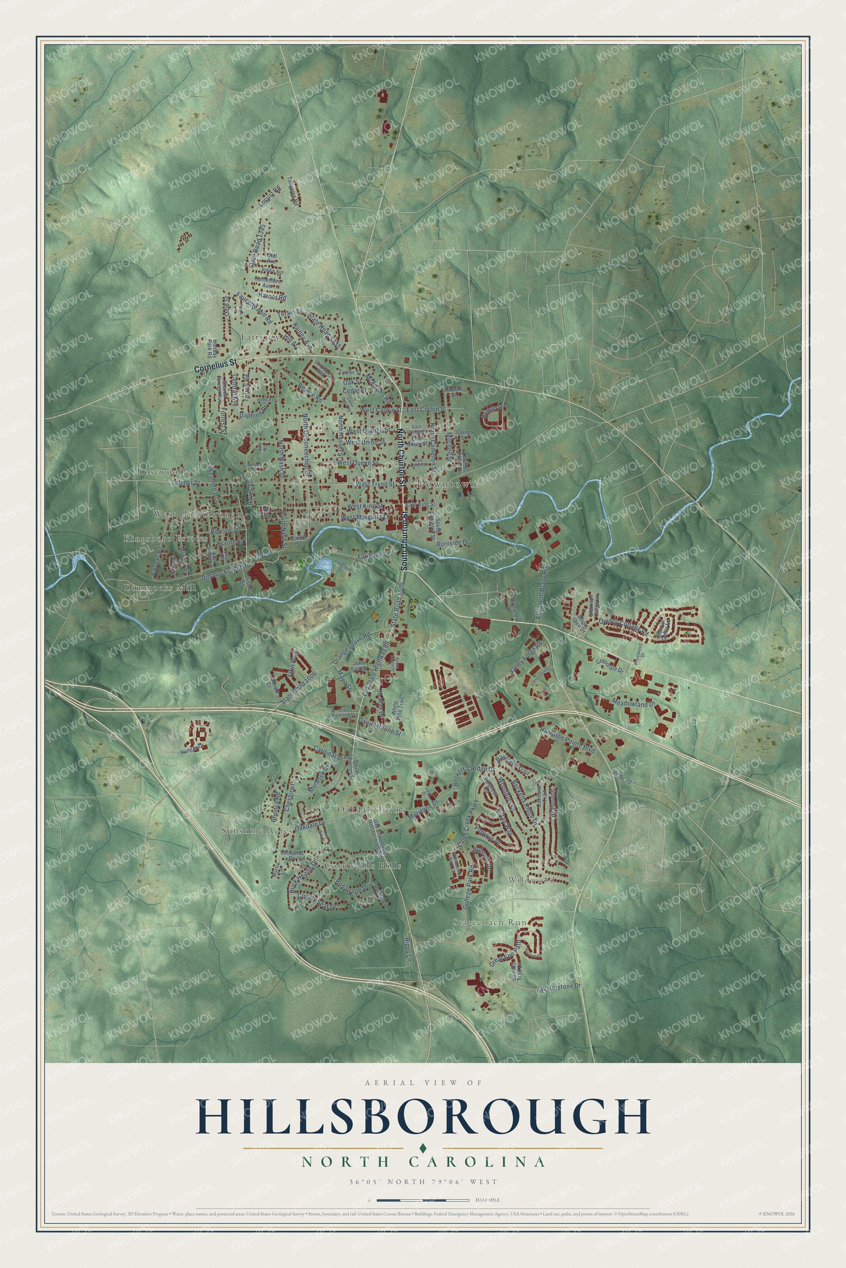
This beautifully detailed map of Hillsborough, North Carolina was created in 2026 using aerial imagery combined with modern topographical, census, street and landmark data. It's a modern aerial view of Hillsborough in Orange County, North Carolina, that combines modern data with a vintage aesthetic. The roads feature printed names, and if you look closely you can find your exact house accurately shown in its correct location.
Explore an aerial view of Hillsborough, North Carolina
On this map you'll find Downtown, Stagecoach Run, Wildwood, Gold Park, Cornwallis Hills, Dimmocks Mill, Fairview, Kingsboro Estates, Oakdale Farms, Rosewood, Sunshine Acres, West Hillsborough, and more. Each red shape is a building, so zoom in on the preview and look for yours.
Every town has a first chapter, and Hillsborough is no exception. The record at ncpedia.org puts it this way: "Hillsborough , the county seat, was incorporated in 1759 as Childsburgh, named after Attorney General Thomas Childs ; in 1766, the name was changed to Hillsborough in honor of Wills Hill, earl of Hillsborough."
Hillsborough is a town in Orange County. The Census Bureau counted 9,660 people here in 2020.
Take a closer look at the Hillsborough map
Names on this map
These names are printed on this map.
Places: Downtown, Stagecoach Run, Wildwood, Gold Park, Cornwallis Hills, Dimmocks Mill, Fairview, Kingsboro Estates, Oakdale Farms, Rosewood, Sunshine Acres and West Hillsborough.
Streets and roads: North Churton Street, South Churton Street, Cornelius Street, Old State Highway 86, State Road 1009, Becketts Ridge Drive, Rainey Avenue, Woodbury Drive, Quincy Cottage Road, West Margaret Lane, West Tryon Street, West King Street.
More street names, A to Z
Allen Ruffin Avenue, Allison Street, Alma Avenue, Aurora Road, Barracks Road, Baycourt Trail, Beckett's Ridge Drive, Benton Street, Bonaparte Drive, Boone Square Street, Botan Way, Brick Hearth Drive, Bridge Street, Burnside Drive, Caine Street, Calvin Street, Cantrell Court, Cardinal Drive, Cates Creek Parkway, Cedar Grove Road, Cedar Street, Central Avenue, Cheshire Drive, Childsberg Way, Clarkson Ridge Lane, College Park Road, Cornerstone Court, Corporate Drive, County Seat Drive, Daniel Boone Street, Daphine Drive, Daye Street, Dial Avenue, Dimmocks Mill Road, East Corbin Street, East King Street, East Orange Street, East Queen Street, East Union Street, Elfin Boulevard, Elizabeth Brady Road, Empress Road, Eno Street, Faribault Lane, Faucette Mill Road, Forrest Street, Foust Street, Great Eno Path, Hampton Pointe Boulevard, Harper Road, Hayes Street, Hill Street, Historic Drive, Holiday Park Road, Holt Street, Homemont Avenue, Huddle Street, Ja-Max Drive, John Earl Street, Jones Avenue, Lafayette Drive, Lakeshore Drive, Latimer Street, Leah Drive, Locust Road, Maple Glen Drive, Mayo Street, McAdams Road, Meadowland Drive, Millstone Drive, Mitchell Street, Morelanda Drive, Murdock Drive, Murray Street, Myrtle Lane, North Cameron Street, North Hassel Street, North Nash Street, North Occoneechee Street, Oakdale Drive, Oakhurst Trail, Oak Street, Odie Street, Old Chapel Hill Hillsborough Road, Old Dogwood Street, Old Nc 10, Orange Grove Road, Papyrus Place, Piedmont Drive, Pointe Place, Prestwood Drive, Ranger Drive, Red Oak Court, Revere Road, Rhonda Road, Riddle Avenue, Riley Avenue, Rippy Lane, Rubrum Drive, South Cameron Street, South Nash Street, Spring Street, Spruce Street, Stanton Gable Lane, State Road 1006, State Road 1330, State Road 1395, Steven Forrest Avenue, Summit Drive, Summit Trail Drive, Terrell Road, Thomas Ruffin Drive, Torain Street, Tuliptree Road, Turner Street, Valley Forge Road, Waterstone Drive, Waterstone Park Circle, West Corbin Street, West Orange Street, West Queen Street, West Union Street, White Pine Trail.
Created by KNOWOL in 2026. The buildings are small red shapes, the roads carry their printed names, and shaded relief shows the shape of the land. The title panel reads "AERIAL VIEW OF HILLSBOROUGH NORTH CAROLINA" with 36°05' NORTH 79°06' WEST.
Hang it in the hallway, the office or the cabin, or give it to someone who left Hillsborough and still calls it home. Open the preview and look for a street you know. See sizes and frames for the Hillsborough map.