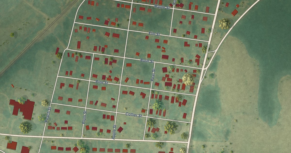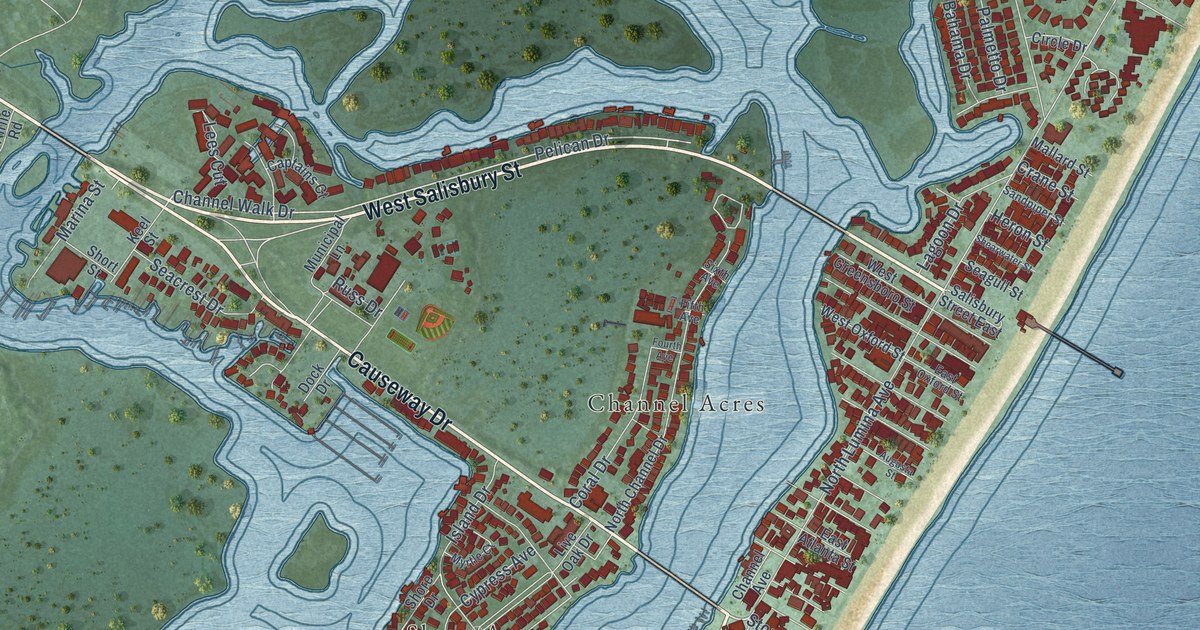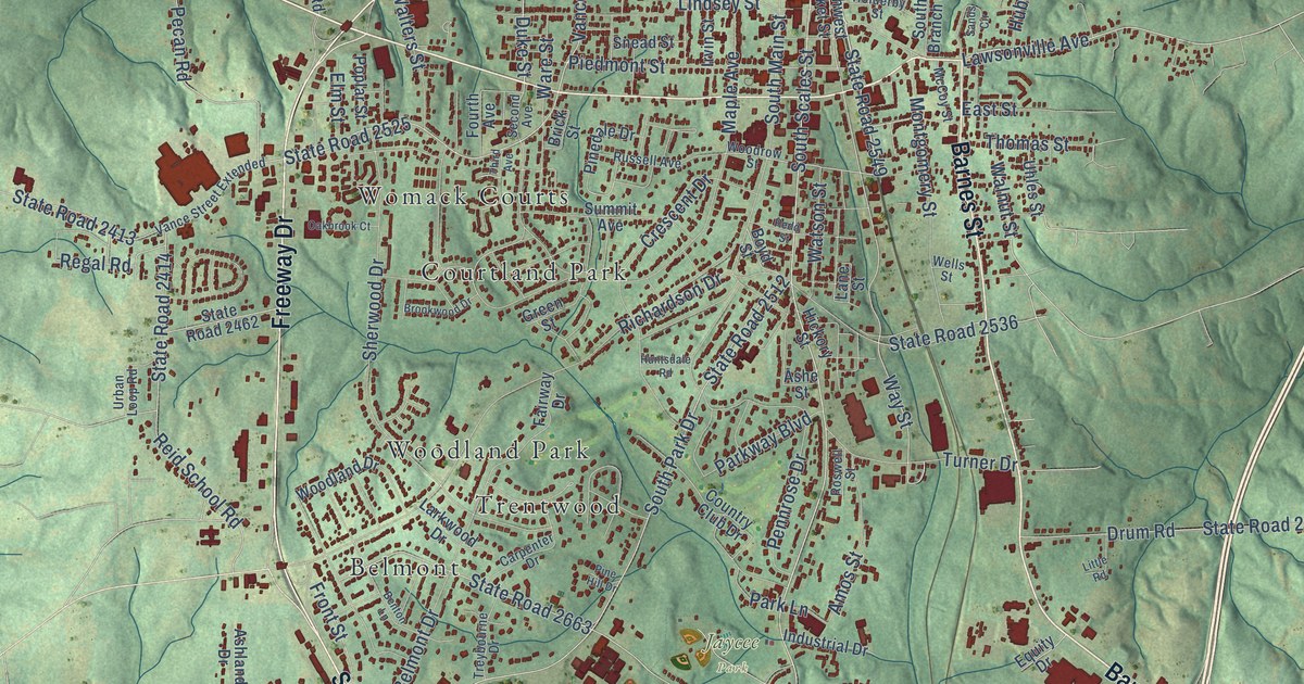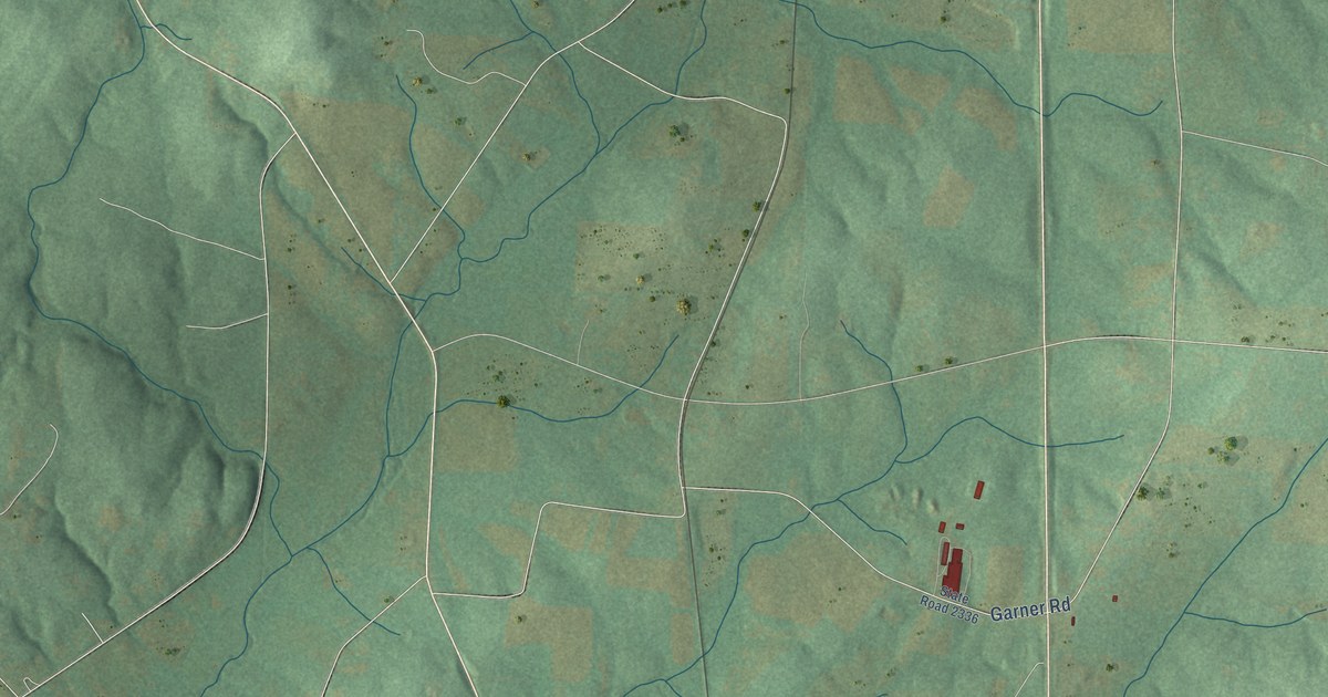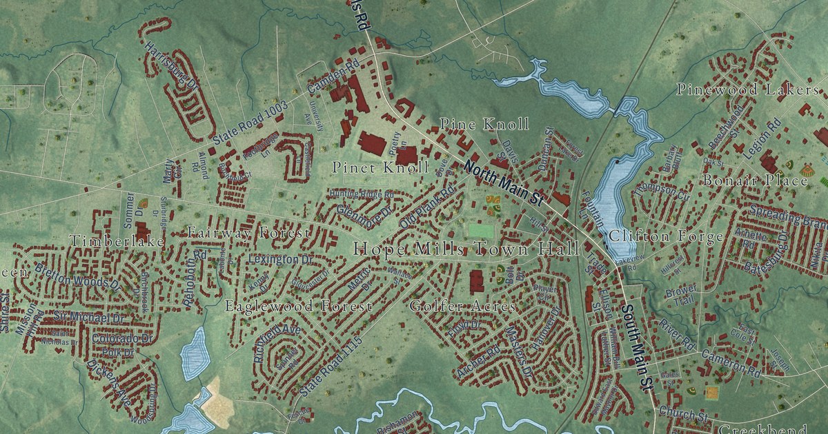
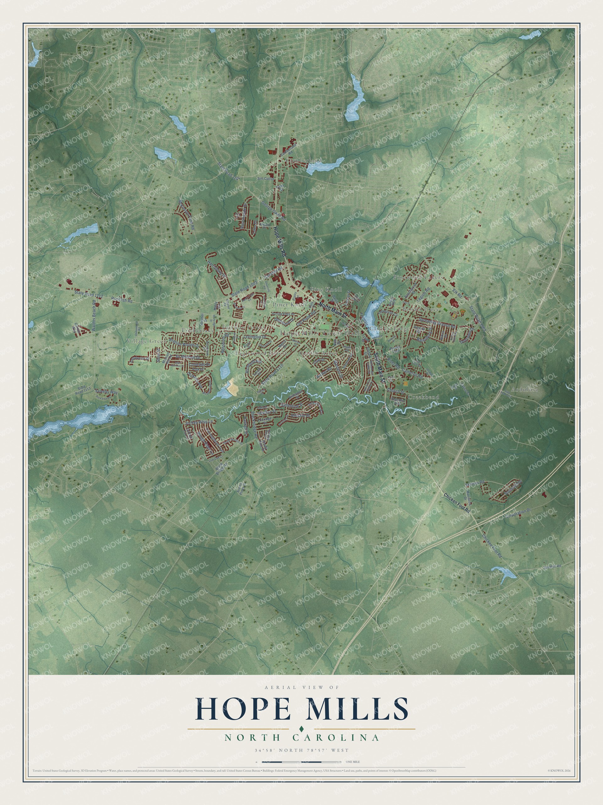
This beautifully detailed map of Hope Mills, North Carolina was created in 2026 using aerial imagery combined with modern topographical, census, street and landmark data. It's a modern aerial view of Hope Mills in Cumberland County, North Carolina, that combines modern data with a vintage aesthetic. The roads feature printed names, and if you look closely you can find your exact house accurately shown in its correct location.
Explore an aerial view of Hope Mills, North Carolina
On this map you'll find Hope Mills Town Hall, Village Green, Ardulusa, Bonair Place, Clifton Forge, Creekbend, Cumberland, Eaglewood Forest, Fairway Forest, Golfer Acres, Pine Knoll, Pinet Knoll, and more. Each red shape is a building, so zoom in on the preview and look for yours.
Hope Mills has a story worth telling. The record at dncr.nc.gov puts it this way: "Largest textile mill in antebellum N.C. Opened 1839 by Charles Peter Mallett. Destroyed 1865 by Sherman's army. It stood 120 yards S.E."
Hope Mills is a town in Cumberland County. The Census Bureau counted 17,808 people here in 2020.
Take a closer look at the Hope Mills map
Names on this map
These names are printed on this map.
Places: Hope Mills Town Hall, Village Green, Ardulusa, Bonair Place, Clifton Forge, Creekbend, Cumberland, Eaglewood Forest, Fairway Forest, Golfer Acres, Pine Knoll, Pinet Knoll, Pinewood Lakers and Timberlake.
Streets and roads: North Main Street, Hope Mills Road, South Main Street, Rockfish Road, State Road 1112, Camden Road, State Road 1003, State Road 1115, Legion Road, Old Plank Road, Archer Road, Harrisburg Drive.
More street names, A to Z
Achilles Drive, Ahoskie Drive, Almond Road, Andalusian Drive, Arnette Road, Ballentine Street, Barbary Bluff, Batesburg Drive, Beechwood Street, Birchbrook Drive, Birchfield Court, Bishamon Street, Blackbridge Road, Black Bridge Road, Bolt Drive, Bretton Woods Drive, Brower Trail, Calico Street, Cameron Road, Castlefield Lane, Chicken Foot Road, Church Street, Colorado Drive, Corporation Drive, Corsair Way, Cumberland Road, Davis Street, Dickens Avenue, Dock View Road, Dove Drive, Duncan Street, Dunrobin Drive, East Cole Street, Edward East Maynor Drive, Elk Road, Ellison Street, Elwood Drive, Falls Drive, Fescue Court, Floyd Drive, Footbridge Lane, Forest Lake Drive, Fountain Lane, Foxridge Drive, Gales Street, Gallant Fox Court, George Owen Road, Gist Place, Glenmore Drive, Gloucester Drive, Hanover Drive, Haskell Drive, Heather Street, Hillcrest Street, Hill Street, Home Stretch Drive, Hunting Path Way, Hunting Ridge Road, Jockey Whip Lane, Joseph Street, Kenny Drive, Labonte Drive, Lakeview Road, Lexington Drive, Loon Drive, Low Oak Court, Marracco Drive, Marty Circle, Masters Drive, McKinnon Farm Road, Metric Drive, Mission Hill Road, Nikita Drive, Oak Street, Old Railroad Way, Papa Street, Player Circle, Poetry Lane, Polk Drive, Pond Street, Rehoboth Road, Republic Avenue, Richfield Avenue, Rising Ridge Drive, River Road, Rosemeade Drive, Rough Rider Lane, Saint Nicholas Drive, Saleeby Way, Sandhill Road, Scenic Pines Drive, Shady Pine Court, Shire Street, Sim Cotton, Sir Michael Drive, Skinner Road, Sommer Drive, Southmill Drive, Spinner Road, Spreading Branch Road, State Road 1113, State Road 1141, State Road 1363, State Road 2220, Sturbridge Drive, Thompson Circle, Thoroughbred Trail, Trade Street, University Avenue, Unnammed Road, Waldos Beach Road, Wallace Street, William Bill Luther Street, Woodspring Drive.
Created by KNOWOL in 2026. The buildings are small red shapes, the roads carry their printed names, and shaded relief shows the shape of the land. The title panel reads "AERIAL VIEW OF HOPE MILLS NORTH CAROLINA" with 34°58' NORTH 78°57' WEST.
It looks right in a kitchen, an office or a den, and it's a gift for anyone who grew up in Hope Mills or moved away. Open the preview and find your street. See sizes and frames for the Hope Mills map.