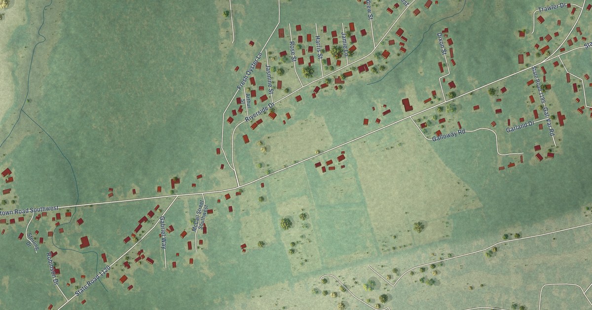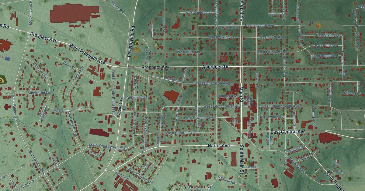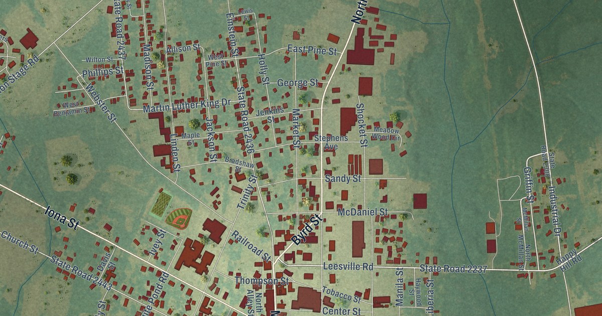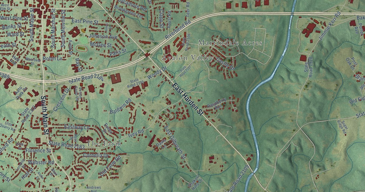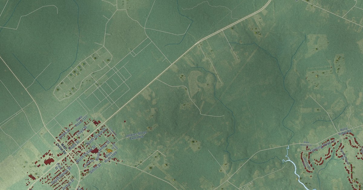
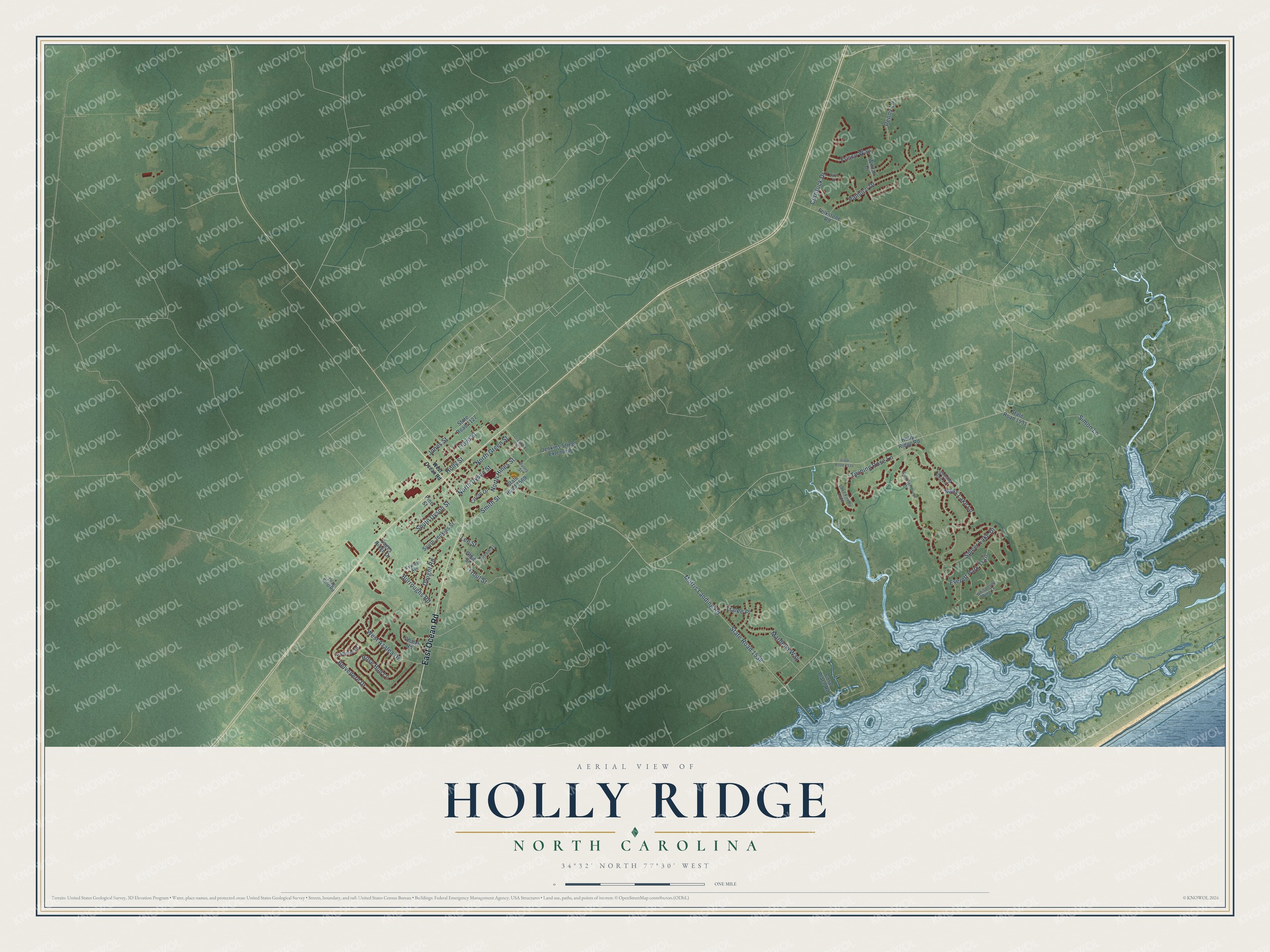
This beautifully detailed map of Holly Ridge, North Carolina was created in 2026 using aerial imagery combined with modern topographical, census, street and landmark data. It's a modern aerial view of Holly Ridge in Onslow County, North Carolina, that combines modern data with a vintage aesthetic. The roads feature printed names, and if you look closely you can find your exact house accurately shown in its correct location.
Explore an aerial view of Holly Ridge, North Carolina
On this map you'll find East Ocean Road, Smith Street, North Dyson Street, State Road 1538, Morris Landing Road, Spicer Lake Drive, Belvedere Drive, Twining Rose Lane, Pamlico Drive, Everett Park Trail, Moss Lake Lane, Rose Bud Lane, and more. Each red shape is a building, so zoom in on the preview and look for yours.
Every town has a first chapter, and Holly Ridge is no exception. The record at dncr.nc.gov puts it this way: "In December 1940 the War Department announced that it would construct an installation near the Onslow County community of Holly Ridge, population 28."
Holly Ridge is a town in Onslow County. The Census Bureau counted 4,171 people here in 2020.
Take a closer look at the Holly Ridge map
Names on this map
These names are printed on this map.
Streets and roads: East Ocean Road, Smith Street, North Dyson Street, State Road 1538, Morris Landing Road, Spicer Lake Drive, Belvedere Drive, Twining Rose Lane, Pamlico Drive, Everett Park Trail, Moss Lake Lane, Rose Bud Lane.
More street names, A to Z
Bream Street, Burns Street, Burroughs Road, Chalet Road, Chub Street, Circle Drive, Coral Place Road, Crawford Street, Currituck Drive, Cypress Avenue, Drag Strip Road, Dwight Road, Folkstone Road, Frisco Way, Hampton Drive, Holly Ridge Road, Holly Street, Jenkins Street Extended, Jones Street, Lake Firefly Loop, Lee Street, Lightning Bug Lane, Lloyd Street, Mardella Way, North Green Street, North Hines Street, Penny Lane, Pine Street, Sages Ridge Drive, Salvo Court, Simon Lane, South Dyson Street, South Jenkins Street, State Road 1127, State Road 1531, State Road 1534, State Road 1569, Summerhouse Drive, Tralee Place, Trout Street, West Azalea Drive, West Ocean Road, Whispering Pine Lane, Winfall Drive.
Created by KNOWOL in 2026. The buildings are small red shapes, the roads carry their printed names, and shaded relief shows the shape of the land. The title panel reads "AERIAL VIEW OF HOLLY RIDGE NORTH CAROLINA" with 34°32' NORTH 77°30' WEST.
Hang it in the hallway, the office or the cabin, or give it to someone who left Holly Ridge and still calls it home. Open the preview and look for a street you know. See sizes and frames for the Holly Ridge map.