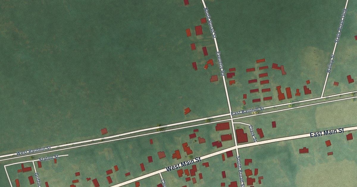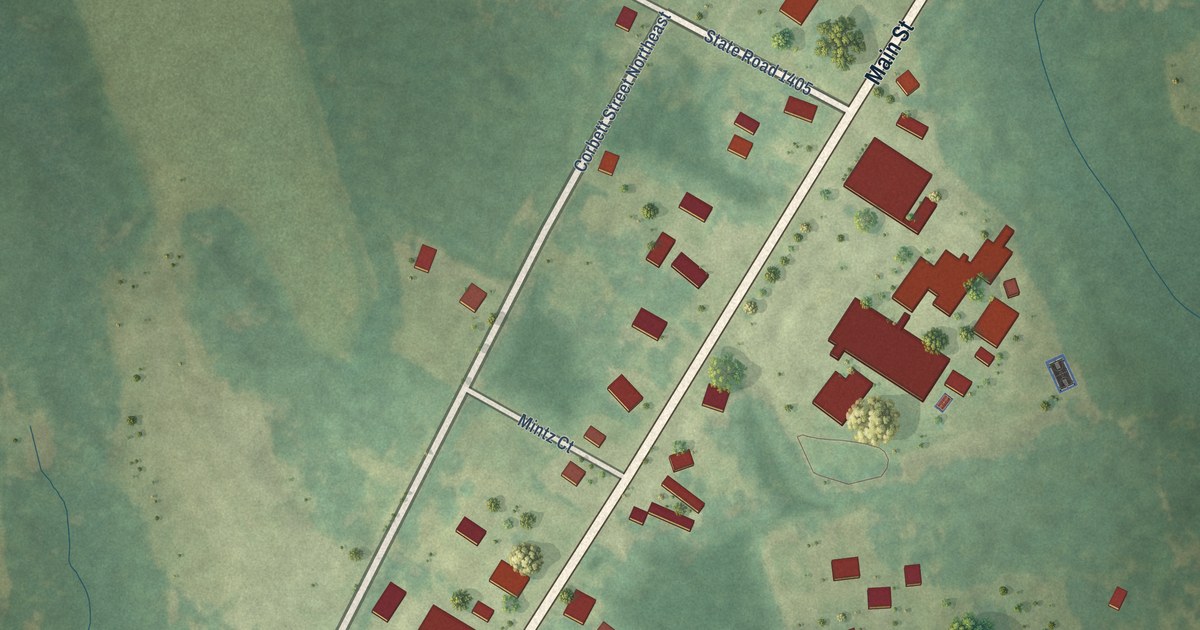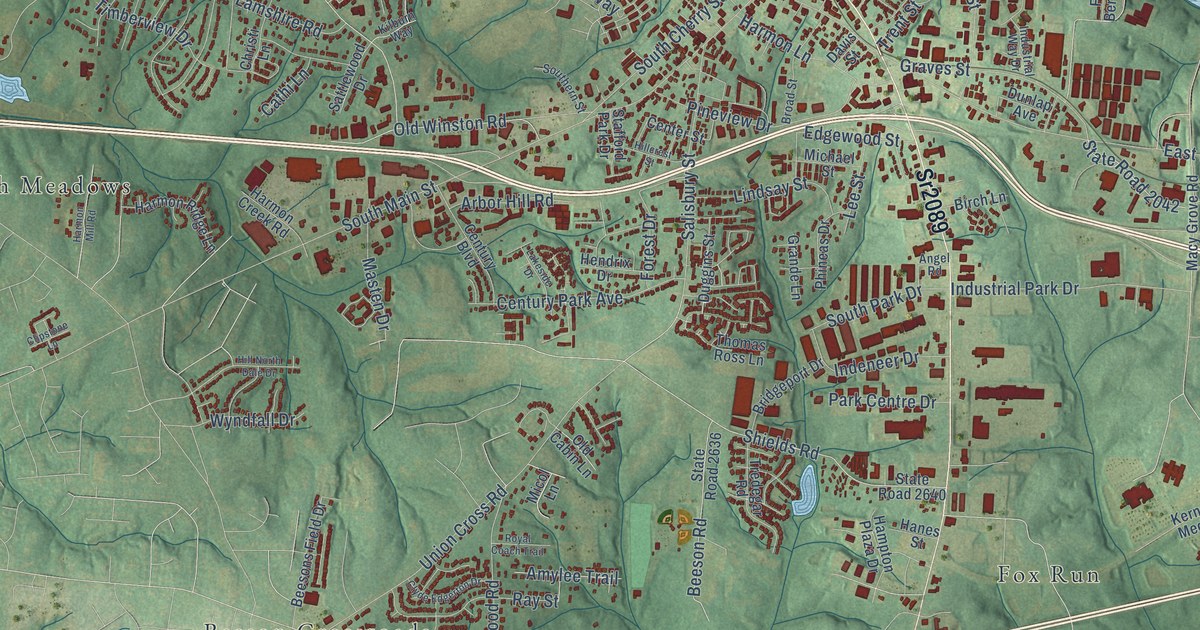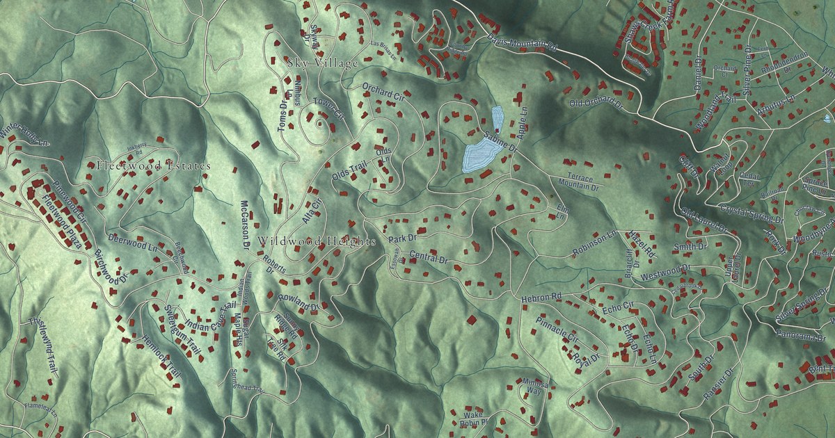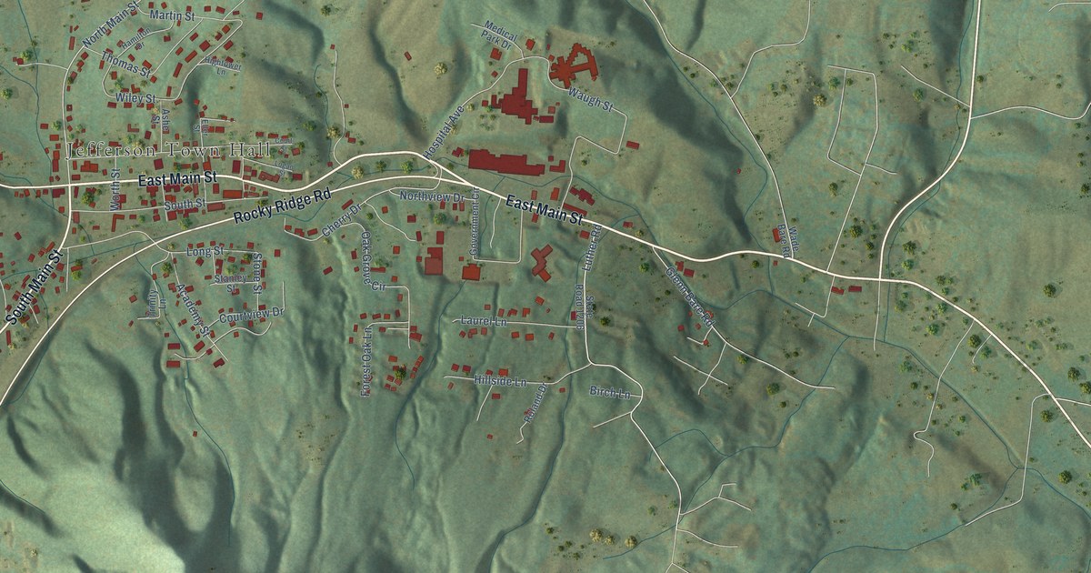
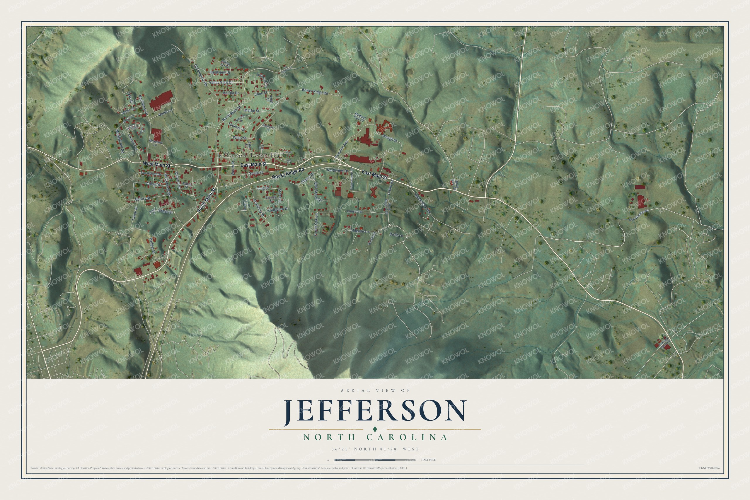
This beautifully detailed map of Jefferson, North Carolina was created in 2026 using aerial imagery combined with modern topographical, census, street and landmark data. It's a modern aerial view of Jefferson in Ashe County, North Carolina, that combines modern data with a vintage aesthetic. The roads feature printed names, and if you look closely you can find your exact house accurately shown in its correct location.
Explore an aerial view of Jefferson, North Carolina
On this map you'll find Jefferson Town Hall, East Main Street, South Main Street, West Main Street, Rocky Ridge Road, Luther Road, North Main Street, Cherry Drive, Cook Street, Hospital Avenue, Waugh Street, Bower Ridge Road, and more. Each red shape is a building, so zoom in on the preview and look for yours.
Jefferson has a story worth telling. The record at dncr.nc.gov puts it this way: "From July 1 to 6, 1841, Gray visited Ashe County, establishing a headquarters in Jefferson."
Jefferson is a town in Ashe County. The Census Bureau counted 1,622 people here in 2020.
Take a closer look at the Jefferson map
Names on this map
These names are printed on this map.
Places: Jefferson Town Hall.
Streets and roads: East Main Street, South Main Street, West Main Street, Rocky Ridge Road, Luther Road, North Main Street, Cherry Drive, Cook Street, Hospital Avenue, Waugh Street, Bower Ridge Road, Martin Street.
More street names, A to Z
Academy Street, Ashe Street, Badger Street, Benfield Drive, Betsy Lane, Birch Lane, Brook Street, Cherry Hill Ridge, Colvard Farm Road, Colvard Street, Court Street, Courtview Drive, Dogwood Circle, Don Walters Road, Eller Street, Faw Roland Street, Forest Oak Lane, Gates Lane, Gentry Street, Glenn Bare Road, Government Circle, Hamilton Drive, Hightower Lane, Hillside Lane, Hilltop Acres, Ka Ola Drive, Knollview Drive, Laurel Lane, Lawson Lane, Logan Street, Long Street, Maple Street, McConnell Street, McNeill Hill Road, Medical Park Drive, Miller Street, Morphew Lane, Northview Drive, Northwest Drive, Oak Grove Circle, Oak Street, Old Highway 16, Old Virginia Road, Parks Street, Ridge Drive, Roland Drive, South Street, Stanley Street, State Road 1206, Stone Street, Taylor Street, Thomas Street, Trinity Lane, Valley Drive, Valley View Drive, Wade Bare Road, Wiley Street, Worth Street.
Created by KNOWOL in 2026. The buildings are small red shapes, the roads carry their printed names, and shaded relief shows the shape of the land. The title panel reads "AERIAL VIEW OF JEFFERSON NORTH CAROLINA" with 36°25' NORTH 81°28' WEST.
It looks right in a kitchen, an office or a den, and it's a gift for anyone who grew up in Jefferson or moved away. Open the preview and find your street. See sizes and frames for the Jefferson map.