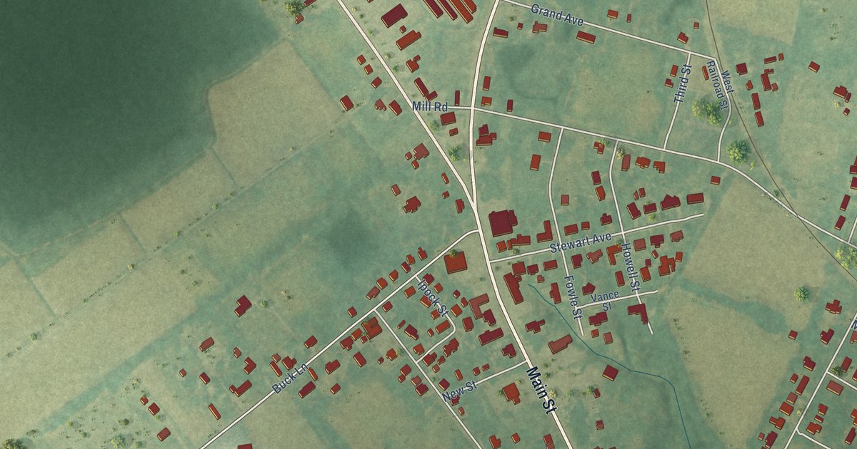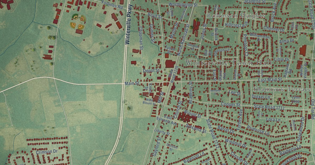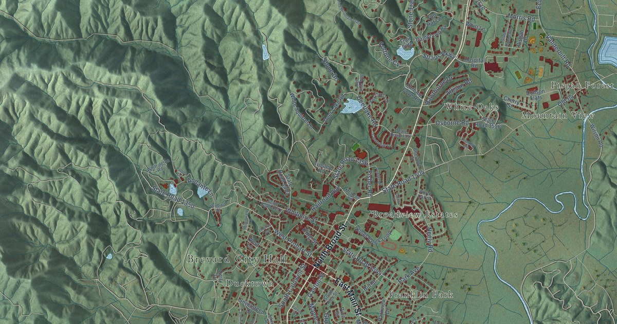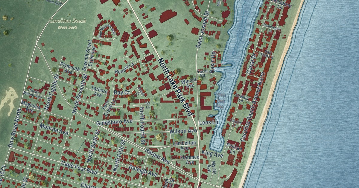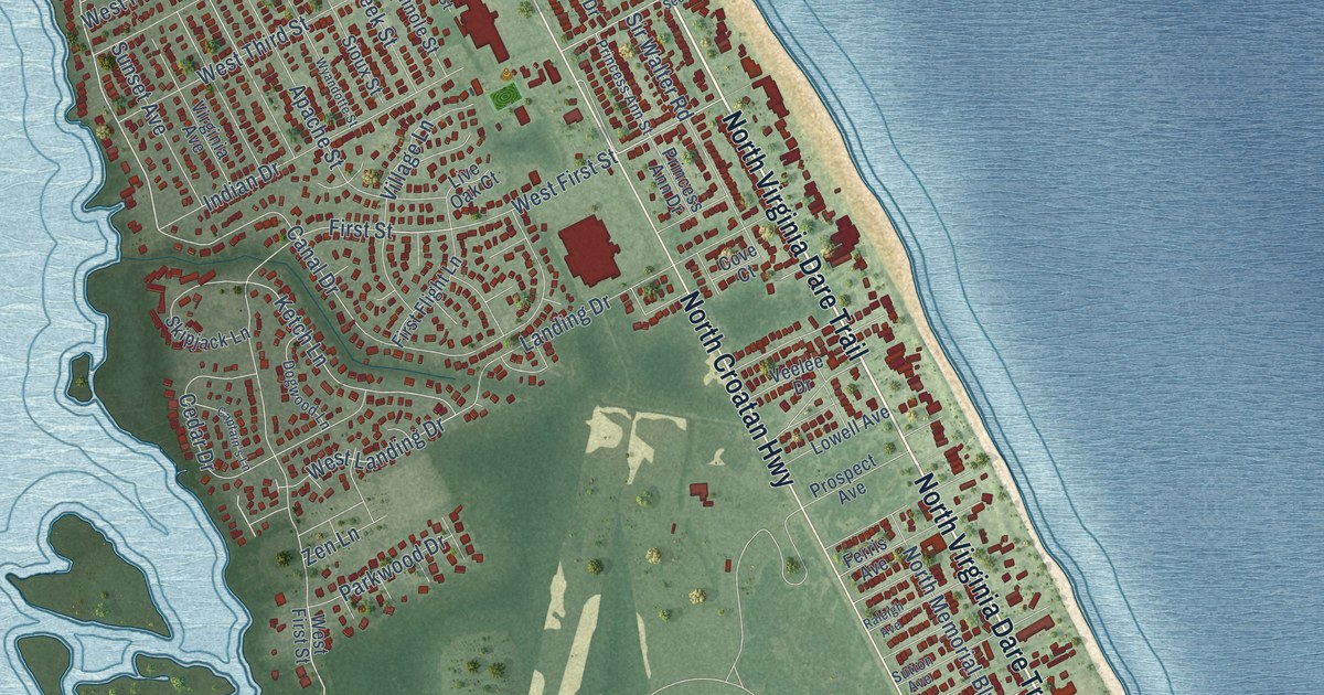
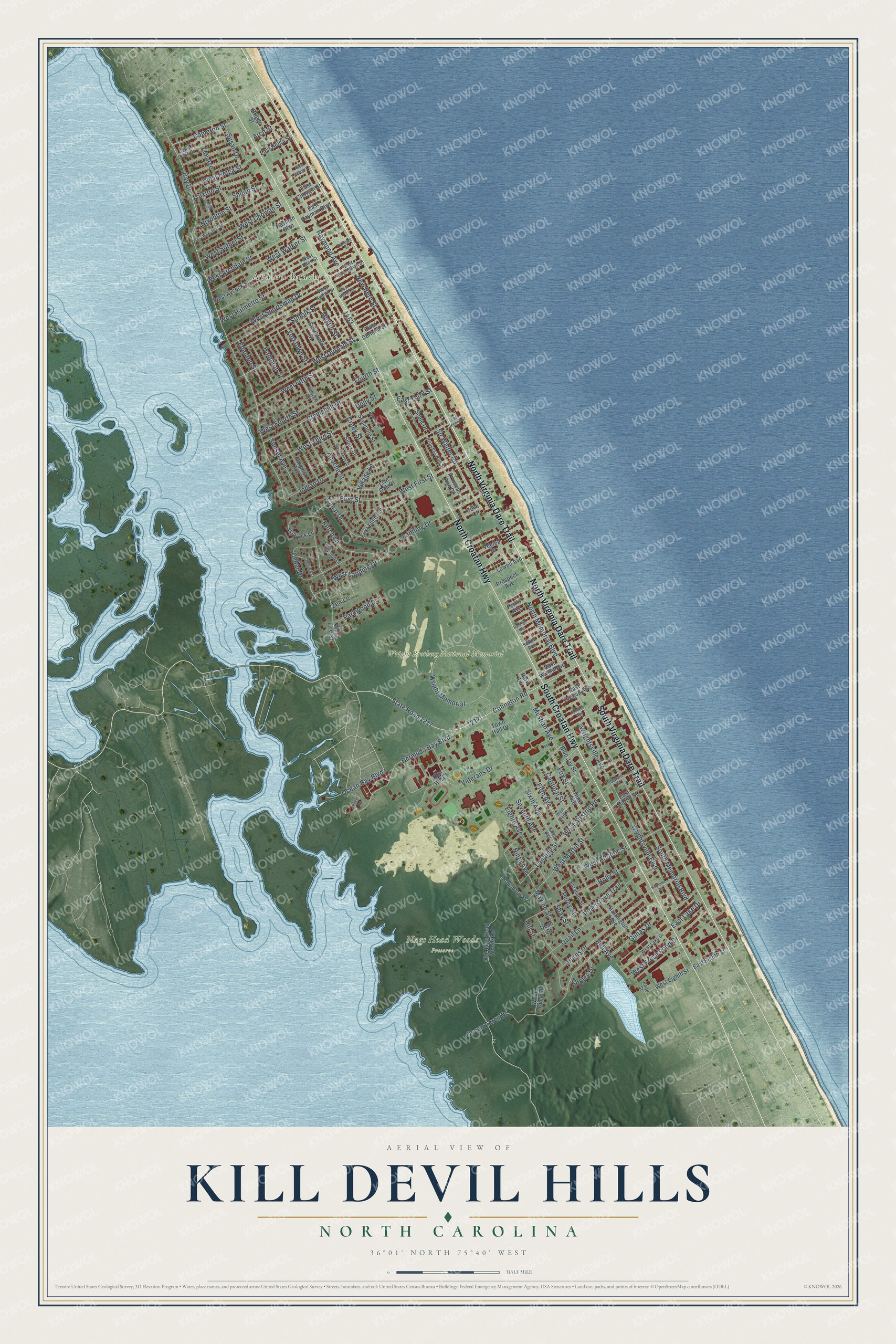
This beautifully detailed map of Kill Devil Hills, North Carolina was created in 2026 using aerial imagery combined with modern topographical, census, street and landmark data. It's a modern aerial view of Kill Devil Hills in Dare County, North Carolina, that combines modern data with a vintage aesthetic. The roads feature printed names, and if you look closely you can find your exact house accurately shown in its correct location.
Explore an aerial view of Kill Devil Hills, North Carolina
On this map you'll find Avalon Beach, Nags Head Woods Preserve, Wright Brothers National Memorial, North Virginia Dare Trail, North Croatan Highway, South Virginia Dare Trail, South Croatan Highway, State Road 1217, Bay Drive, Colington Road, Ocean Bay Boulevard, Bermuda Bay Boulevard, and more. Each red shape is a building, so zoom in on the preview and look for yours.
Kill Devil Hills is a town in Dare County. The Census Bureau counted 7,656 people here in 2020. The map prints the town name in its title panel, with the coordinates below it.
Take a closer look at the Kill Devil Hills map
Names on this map
These names are printed on this map.
Places: Avalon Beach, Nags Head Woods Preserve and Wright Brothers National Memorial.
Streets and roads: North Virginia Dare Trail, North Croatan Highway, South Virginia Dare Trail, South Croatan Highway, State Road 1217, Bay Drive, Colington Road, Ocean Bay Boulevard, Bermuda Bay Boulevard, First Street, West Airstrip Road, West Fresh Pond Drive.
More street names, A to Z
Apache Street, Arch Street, Aztec Street, Bath Street, Bell Avenue, Blue Jay Street, Boundary Street, Briggs Street, Burns Drive, Calvin Street, Cameron Street, Canal Drive, Captain's Lane, Cardinal Street, Cedar Drive, Clamshell Drive, Copley Drive, Cove Court, Creek Street, Dean Street, Dogwood Lane, Dolly Street, East Chowan Street, East Durham Street, East Eighth Street, East Hayman Boulevard, East Helga Street, East Lake Drive, East Martin Street, East Oregon Avenue, East Second Street, East Sportsman Drive, East Third Street, East Wilson Street, East Wright Avenue, Edenton Street, Eighth Avenue, Elizabeth Street, Ferris Avenue, Fifth Avenue, First Flight Lane, Fourth Street, Fox Street, Georgia Lane, Gunas Drive, Hampton Street, Harrington Avenue, Hayman Boulevard, Hill Street, Holly Street, Indian Drive, Ketch Lane, Landing Drive, Landing Street, Lee Avenue, Live Oak Court, Lowell Avenue, Maxine Street, Mustian Avenue, Mustin Street, Neptune Drive, New Bern Street, Ninth Avenue, Nixonton Street, North Memorial Boulevard, Ocean Acres Drive, Old Nags Head Woods Road, Paget Road, Pamlico Avenue, Park Drive, Parkwood Drive, Percy Street, Pine Grove Trail, Pond Street, Princess Ann Drive, Princess Ann Street, Prospect Avenue, Quail Lane, Raleigh Avenue, Random Street, Raymond Avenue, Run Hill Court, Saint Louis Street, Sea Village Lane, Seminole Street, Seventh Avenue, Shay Street, Shiloh Street, Sioux Street, Sir Walter Road, Sixth Avenue, Skipjack Lane, Smithfield Street, Soble Drive, South Memorial Boulevard, Suffolk Street, Sunset Avenue, Susan Drive, Sutton Avenue, Third Avenue, Town Hall Drive, Truxton Street, Veelee Drive, Veterans Drive, Village Lane, Virginia Avenue, West Archdale Street, West Atlantic Street, West Avalon Drive, West Aycock Street, West Chowan Street, West Clark Street, West Durham Street, West Eden Street, West Eighth Street, West Fifth Street, West First Street, West Fourth Street, West Helga Street, West Lake Drive, West Landing Drive, West Martin Street, West Palmetto Street, West Sothel Street, West Sportsman Drive, West Third Street, West Walker Street, West Wilkinson Street, Wood Duck Street, Wright Memorial, Wrightsville Avenue, Wrightsville Boulevard, Wyandotte Street, Yorktown Street, Zen Lane.
Created by KNOWOL in 2026. The buildings are small red shapes, the roads carry their printed names, and shaded relief shows the shape of the land. The title panel reads "AERIAL VIEW OF KILL DEVIL HILLS NORTH CAROLINA" with 36°01' NORTH 75°40' WEST.
It looks right in a kitchen, an office or a den, and it's a gift for anyone who grew up in Kill Devil Hills or moved away. Open the preview and find your street. See sizes and frames for the Kill Devil Hills map.