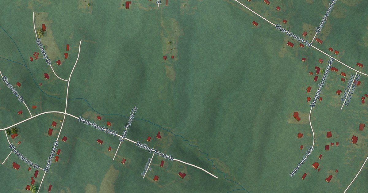
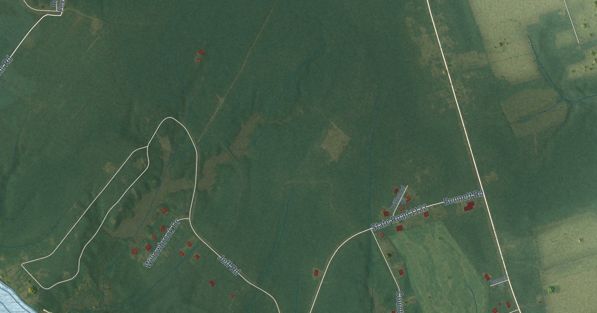
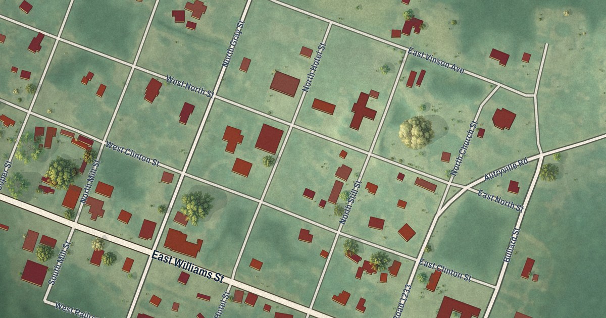
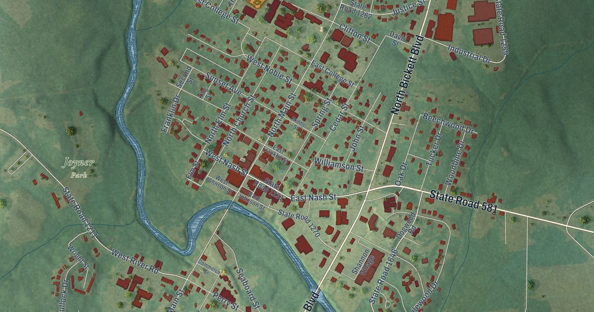
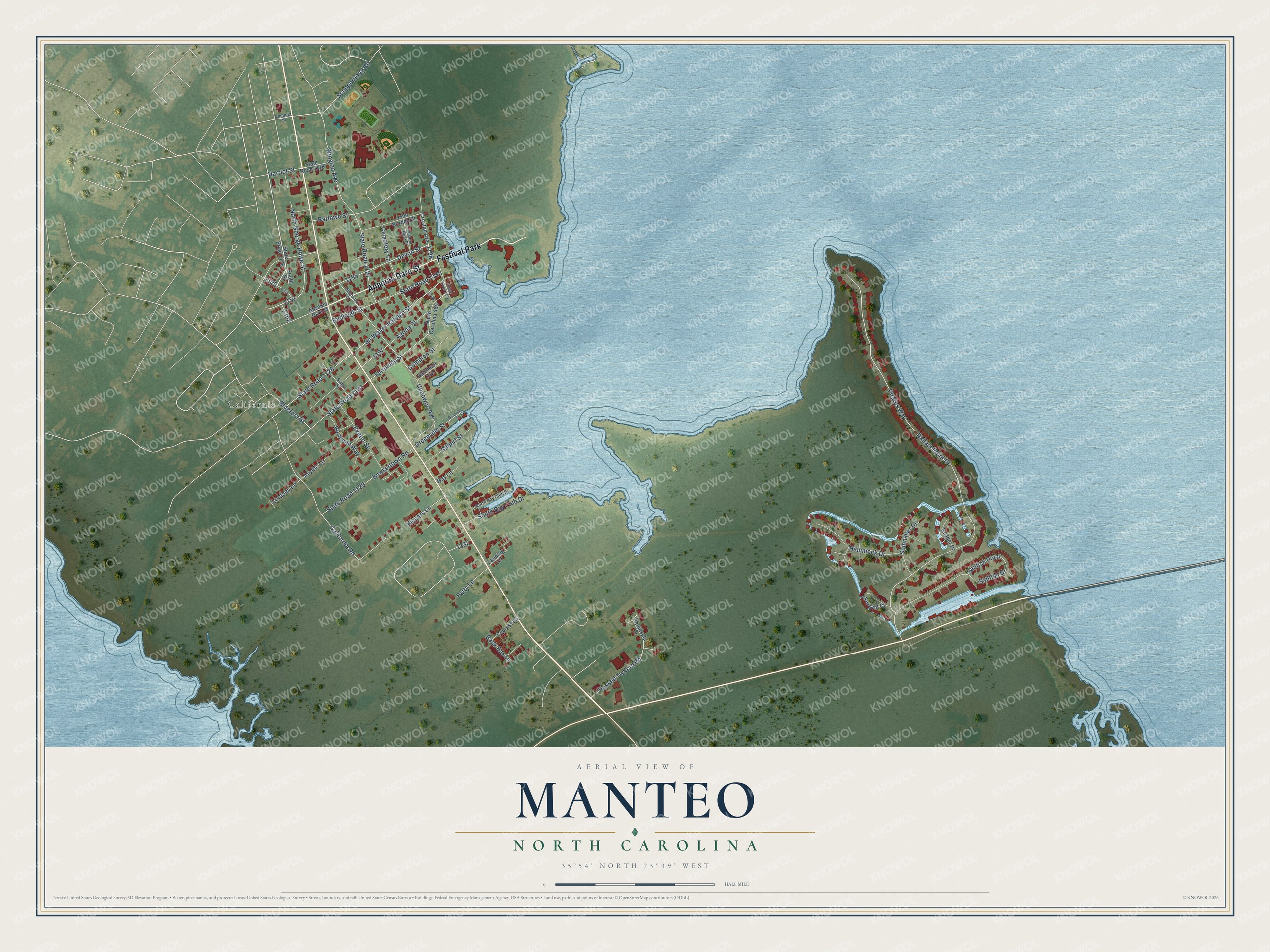
This beautifully detailed map of Manteo, North Carolina was created in 2026 using aerial imagery combined with modern topographical, census, street and landmark data. It's a modern aerial view of Manteo in Dare County, North Carolina, that combines modern data with a vintage aesthetic. The roads feature printed names, and if you look closely you can find your exact house accurately shown in its correct location.
Explore an aerial view of Manteo, North Carolina
On this map you'll find California, Ananias Dare Street, Festival Park, Bideford Street, Sir Walter Raleigh Street, Pirates Way, Sailfish Point, State Road 1129, State Road 1131, Ballast Point Drive, Fernando Street, Uppowoc Avenue, and more. Each red shape is a building, so zoom in on the preview and look for yours.
Manteo has a story worth telling. The record at dncr.nc.gov puts it this way: "Late in 1942 Coastal Patrol Base 16 moved from Skyco to an airport, built by the Works Progress Administration, north of Manteo."
Manteo is a town in Dare County. The Census Bureau counted 1,600 people here in 2020.
Take a closer look at the Manteo map
Names on this map
These names are printed on this map.
Places: California and Festival Park.
Streets and roads: Ananias Dare Street, Bideford Street, Sir Walter Raleigh Street, Pirates Way, Sailfish Point, State Road 1129, State Road 1131, Ballast Point Drive, Fernando Street, Uppowoc Avenue, Sailfish Drive, State Road 1121.
More street names, A to Z
Agona Street, Amanda Street, Arville Lane, Back Bay Lane, Barbican Way, Barlowe Street, Bay Lane, Bowsertown Road, Budleigh Street, California Road, Cemetery Lane, Compton Street, Croatan Avenue, Cypress Lane, Dartmoor Avenue, Devon Street, Eleanor Dare Place, Exeter Street, Gilbert Street, Greenville Street, Grenville Street, Hammock Drive, Harriot Street, John Borden Street, Landing Lane, Lindsey Lane, North Bay Club Drive, North Carolina 400, North George Howe Street, Patty Lane, Peninsula Drive, Rudder Drive, Russell Twiford Road, Scuppernong Road, Sextant Court, Simon Street, South Bay Club Drive, South Street, Spinnaker Drive, State Road 1118, State Road 1128, State Road 1150, State Road 1176, State Road 1191, Uppowoc Street, Viccars Lane, Wingina Avenue.
Created by KNOWOL in 2026. The buildings are small red shapes, the roads carry their printed names, and shaded relief shows the shape of the land. The title panel reads "AERIAL VIEW OF MANTEO NORTH CAROLINA" with 35°54' NORTH 75°39' WEST.
It looks right in a kitchen, an office or a den, and it's a gift for anyone who grew up in Manteo or moved away. Open the preview and find your street. See sizes and frames for the Manteo map.