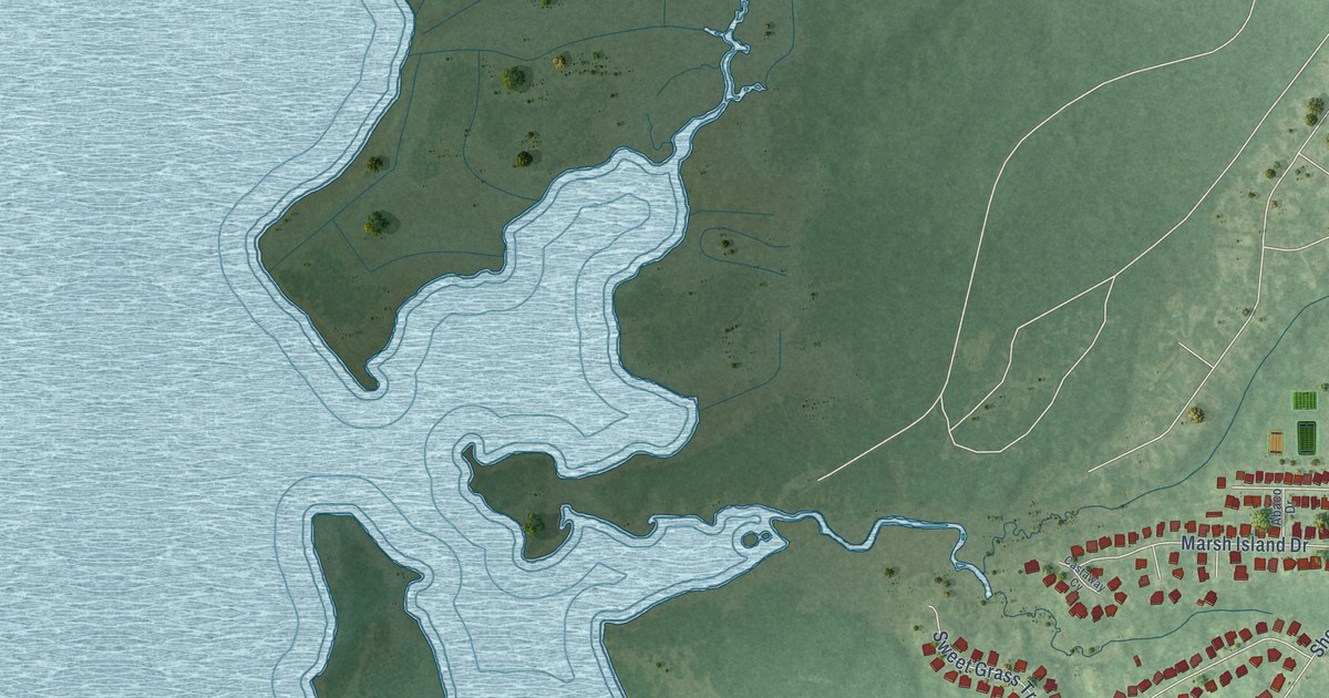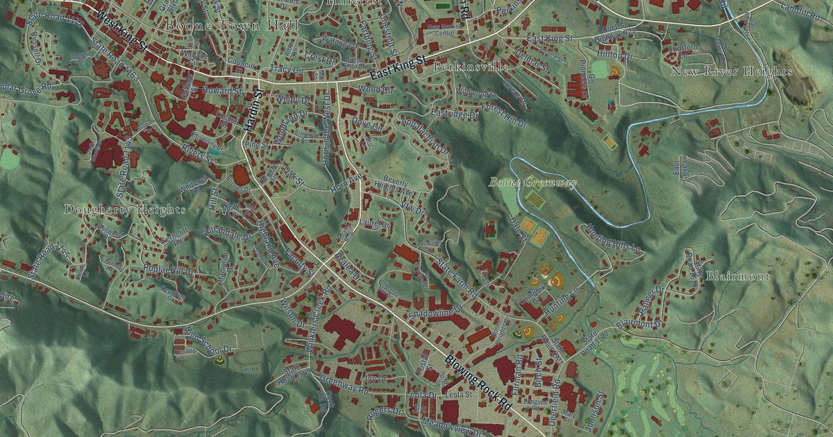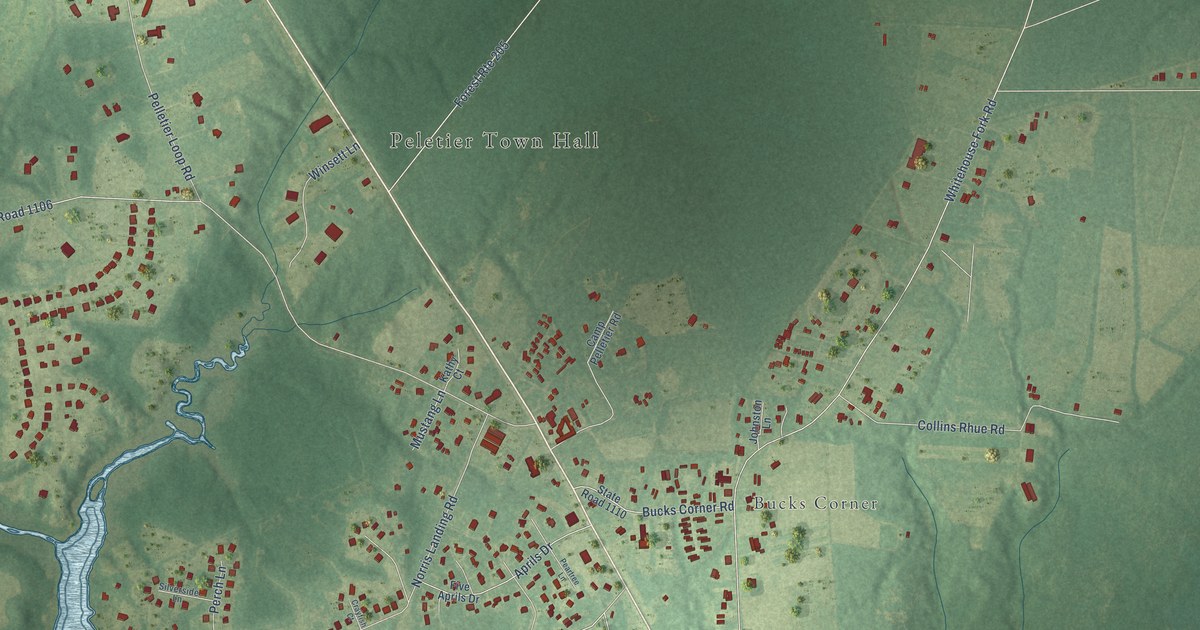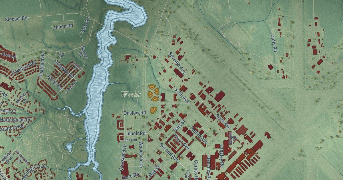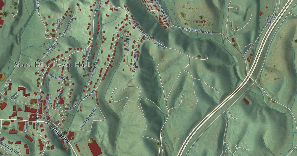
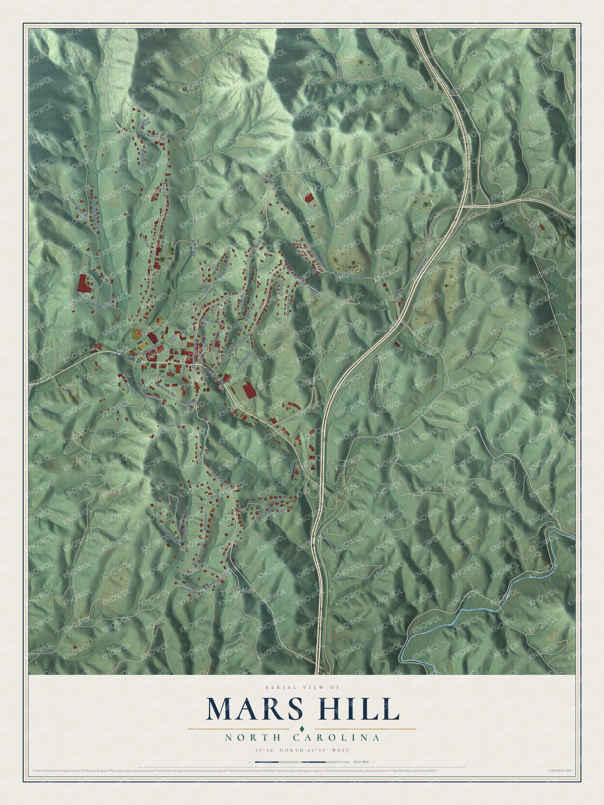
This beautifully detailed map of Mars Hill, North Carolina was created in 2026 using aerial imagery combined with modern topographical, census, street and landmark data. It's a modern aerial view of Mars Hill in Madison County, North Carolina, that combines modern data with a vintage aesthetic. The roads feature printed names, and if you look closely you can find your exact house accurately shown in its correct location.
Explore an aerial view of Mars Hill, North Carolina
On this map you'll find Mars Hill Town Hall, Long Ridge, Carl Eller Road, Cascade Street, State Road 1609, South Main Street, Mountain View Road, State Road 1553, North Main Street, Dormitory Road, State Road 1559, Bailey Street, and more. Each red shape is a building, so zoom in on the preview and look for yours.
Mars Hill has a story worth telling. The record at ncpedia.org puts it this way: "During the Civil War , which split the region around Mars Hill along Unionist and Confederate lines both during and after the conflict, the school was closed for two years (1863-65)."
Mars Hill is a town in Madison County. The Census Bureau counted 2,007 people here in 2020.
Take a closer look at the Mars Hill map
Names on this map
These names are printed on this map.
Places: Mars Hill Town Hall and Long Ridge.
Streets and roads: Carl Eller Road, Cascade Street, State Road 1609, South Main Street, Mountain View Road, State Road 1553, North Main Street, Dormitory Road, State Road 1559, Bailey Street, Forest Street, Parkway View Road.
More street names, A to Z
Anderson Street, Athletic Street, Banjo Branch Road, Bearwood Drive, Bruce Road, Campus, Carter Lane, Cemetary Drive, Chestnut Street, Dormitory Drive, Duck Road, East View Drive, Fast View Road, Forest Road, Heaven's Valley Drive, Hickory Drive, Hidden Cove Road, High Meadow Road, Hilltop Street, Homestead Road, Ivey Street, Laurel Wood, Library Drive, Manor Drive, Park Drive, Physical Plant, Pine Ridge Road, Ponder Street, Quail Ridge Road, Riddle Hill Road, Ridgeway Drive, Sassafras Lane, Spring Drive, Spring Valley Street, State Road 1354, State Road 1541, State Road 1552, State Road 1560, State Road 1606, Tilson Street, Townhouse Drive, Valley Street, Vee Drive, West Ridge Drive, Williams Place, Womens Hill Drive, Woodhaven Road, Woodland Drive, Woods Ammons Road, Woodson Drive.
Created by KNOWOL in 2026. The buildings are small red shapes, the roads carry their printed names, and shaded relief shows the shape of the land. The title panel reads "AERIAL VIEW OF MARS HILL NORTH CAROLINA" with 35°50' NORTH 82°33' WEST.
It looks right in a kitchen, an office or a den, and it's a gift for anyone who grew up in Mars Hill or moved away. Open the preview and find your street. See sizes and frames for the Mars Hill map.