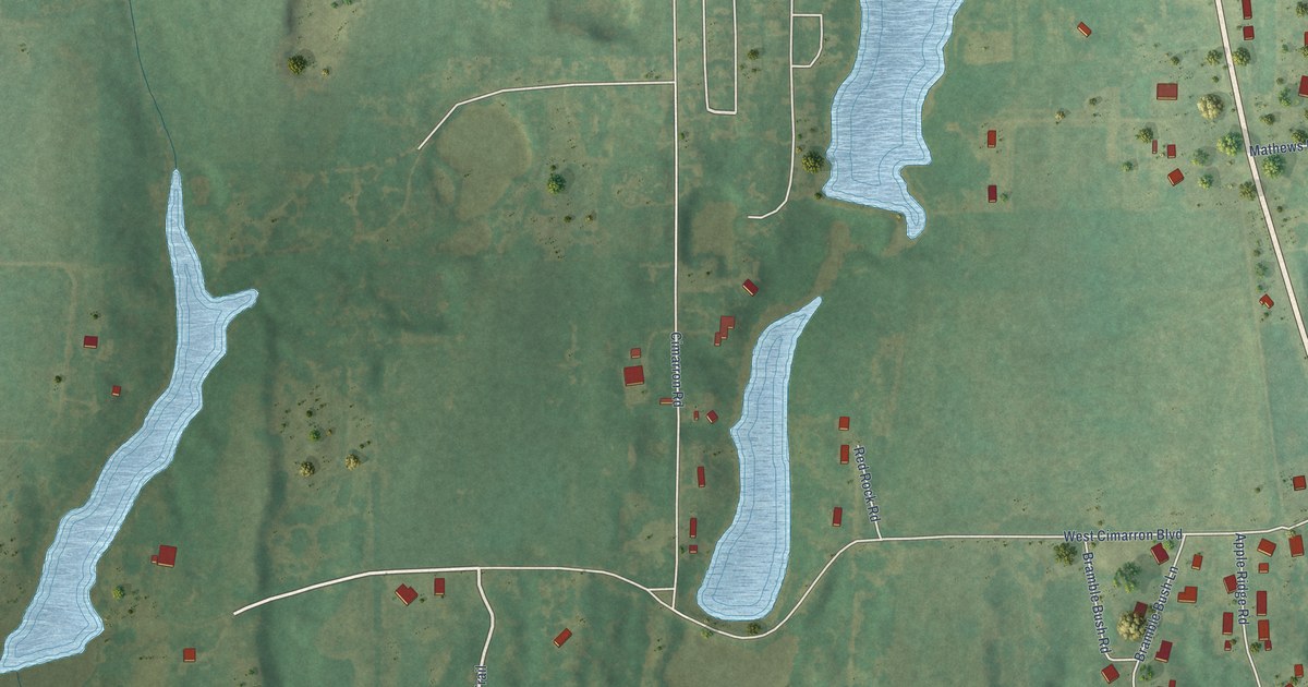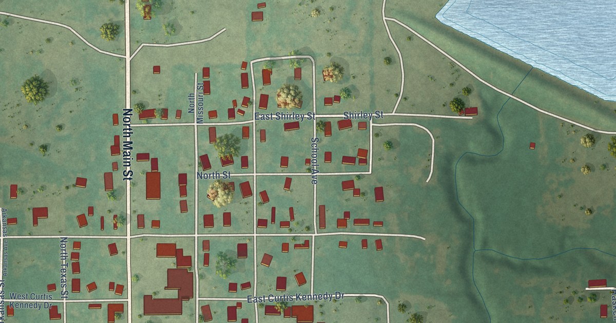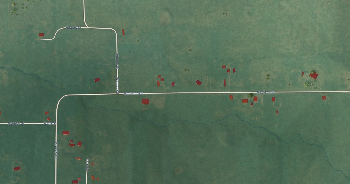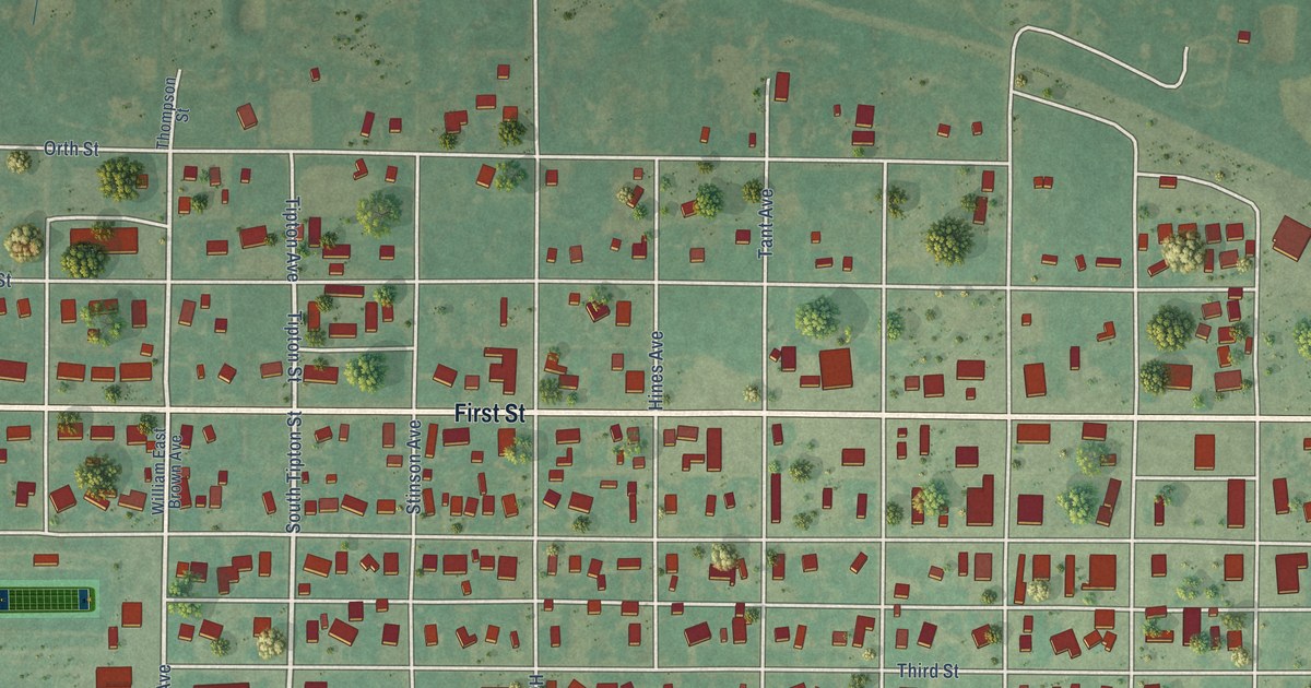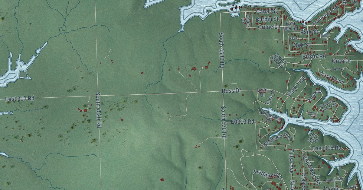
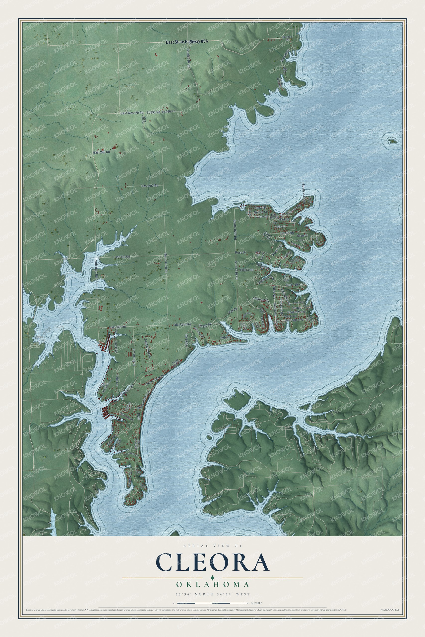
This beautifully detailed map of Cleora, Oklahoma was created in 2026 using aerial imagery combined with modern topographical, census, street and landmark data. It's a modern aerial view of Cleora in Delaware County, Oklahoma, that combines modern data with a vintage aesthetic. The roads feature printed names, and if you look closely you can find your exact house accurately shown in its correct location.
Explore an aerial view of Cleora, Oklahoma
On this map you'll find East State Highway 85A, N4535 Road, Crane Lane, Canal Street, South 4530 Road, Seminole Avenue, Old Farm Road, E0320 Road, Gran Drive, South 4540 Road, Pack Trail, East 320 Road, and more. Each red shape is a building, so zoom in on the preview and look for yours.
Cleora has a story worth telling. The Grand River Chronicle puts it this way: "The first Cleora school was built south of the present school on the south side of the hill and was called Valley View School. To pay the teacher, parents of the children paid one dollar a month for each child who attended class."
Cleora is a town in Delaware County.
Take a closer look at the Cleora map
Names on this map
These names are printed on this map.
Streets and roads: Crane Lane, Canal Street, South 4530 Road, Seminole Avenue, Old Farm Road, Gran Drive, South 4540 Road, Pack Trail, East 320 Road, East West 29 Road, Tulsa Avenue, South 520 Road.
More street names, A to Z
318 Road, 320 Road, 4523 Road, 4575 Road, Bernice Drive, Bill Hardesty Lane, Blue Herron, Bluff, Broadway, Browning Lane, Burbin Street, Cardinal Drive, Cherokee Road, Choctaw Avenue, Country Club Trail, Crace Drive, Creek Avenue, Crescent Drive, Dogwood Circle, Eagle Bluff Drive, Eagle Lane, East 286 Road, East 295 Road, East 300 Road, East 304 Road, East 305 Road, East 310 Road, East 315 Road, East 319 Road, East 321 Road, Eo290 Road, Falcon Lane, Felts Lane, Glenn Drive, Grand Rio Circle, Koenig Drive, Lakeview Trail, Le Ann Lane, Legand Place, Lusk Circle, Lynn Drive, Mack Drive, Mockingbird Lane, Oak, Oak Street, Osage, Osage Avenue, Osprey Road, Park Street, Pebble Beach, Pecan Street, Pheasant Circle, Pike Drive, Point Owoods, Ponca Avenue, Ridge Road, Ridge Road Lane, Ross Drive, South 530 Road, South 4510 Road, South 4517 Road, South 4520 Road, South 4531 Road, South 4533 Road, South 4537 Road, South Coves Drive, Sunset Park Cv, Tara Trail, Tradition Circle, Vintage Way, Wildwood Drive, Wildwood Trail.
Created by KNOWOL in 2026. The buildings are small red shapes, the roads carry their printed names, and shaded relief shows the shape of the land. The title panel reads "AERIAL VIEW OF CLEORA OKLAHOMA" with 36°34' NORTH 94°57' WEST.
It looks right in a kitchen, an office or a den, and it's a gift for anyone who grew up in Cleora or moved away. Open the preview and find your street. See sizes and frames for the Cleora map.