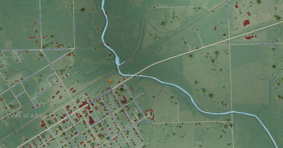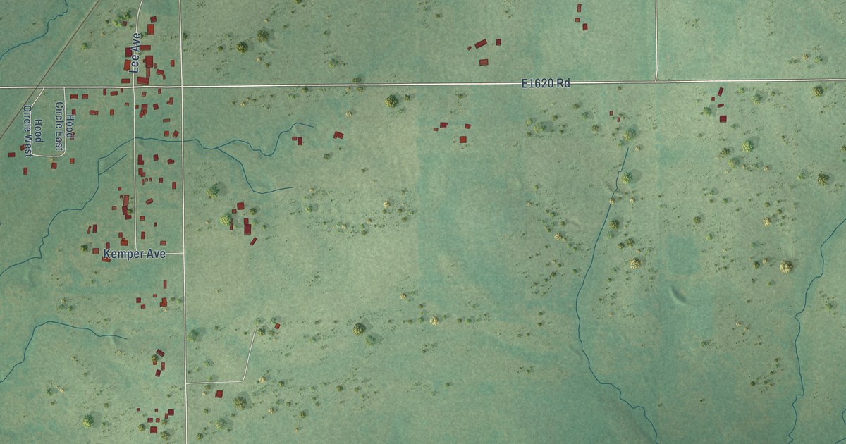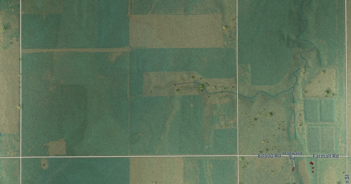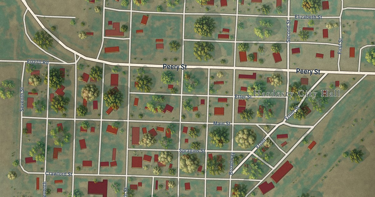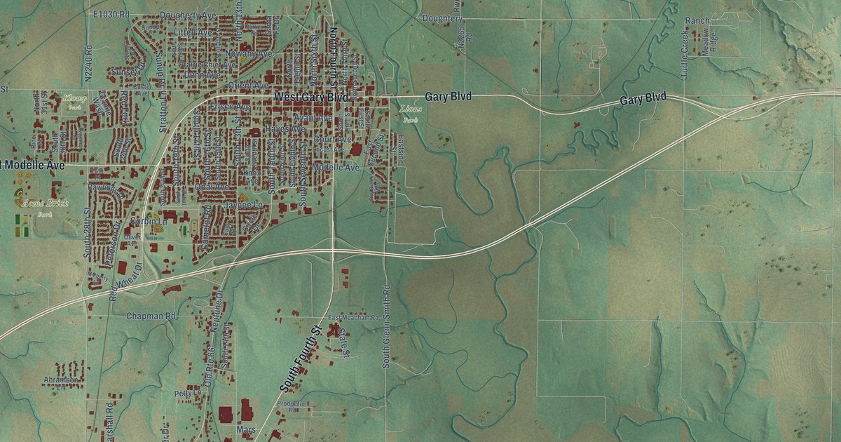
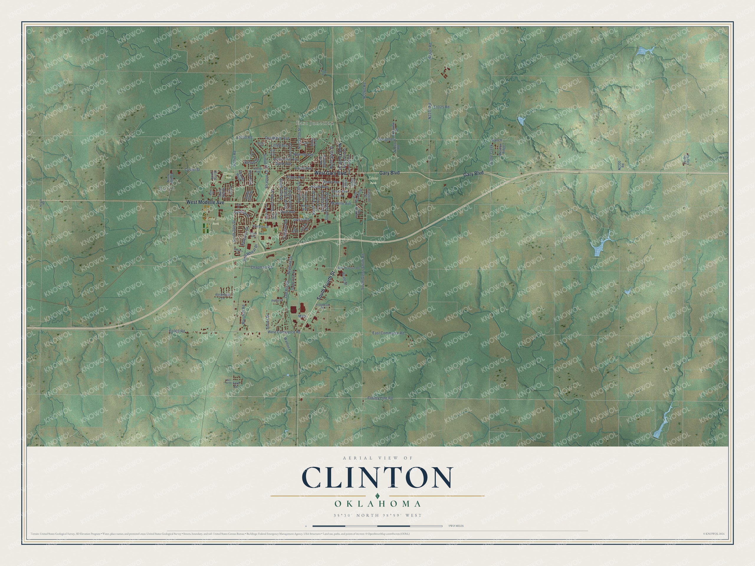
This beautifully detailed map of Clinton, Oklahoma was created in 2026 using aerial imagery combined with modern topographical, census, street and landmark data. It's a modern aerial view of Clinton in Custer County, Oklahoma, that combines modern data with a vintage aesthetic. The roads feature printed names, and if you look closely you can find your exact house accurately shown in its correct location.
Explore an aerial view of Clinton, Oklahoma
On this map you'll find East Junction, Acme Brick Park, Klump Park, Lions Park, Ralph, West Gary Boulevard, West Modelle Avenue, Gary Boulevard, South Fourth Street, South Glenn Smith Road, Custer Street, South 28th Street, and more. Each red shape is a building, so zoom in on the preview and look for yours.
Clinton has a story worth telling. The record at okhistory.org puts it this way: "In an agricultural region, Clinton became an active trade center in the early 1900s when the Blackwell, Enid and Southwestern Railroad (later the St. Louis and San Francisco Railway) and the Kansas City, Mexico and Orient Railway (later the Atchison, Topeka and Santa Fe Railway) built lines connecting the community with outside markets."
Clinton is a city in Custer County.
Take a closer look at the Clinton map
Names on this map
These names are printed on this map.
Places: East Junction, Acme Brick Park, Klump Park, Lions Park and Ralph.
Streets and roads: West Gary Boulevard, West Modelle Avenue, Gary Boulevard, South Fourth Street, South Glenn Smith Road, Custer Street, South 28th Street, Frisco Avenue, Marshall Road, Hayes Avenue, South 19th Street, North Sixth Street.
More street names, A to Z
26th Place, Abramson Lane, Airport Road, Avant Avenue, Barker Road, Bon del Drive, Camelot Road, Chapman Road, Circle Drive, Corbin Lane, County Line Road, Court Avenue, Custer Avenue, Custer City Road, Dougherty Avenue, Doughtery, Dunn Avenue, East Commerce Road, East Meacham Road, East Second Street, Eastside Street, Easy Street, Ford Drive, Granite Wash, Jaycee Lane, Knox Avenue, Littell Avenue, Locust Avenue, Mars, Meadow Ridge, Modelle Avenue, Mulberry Lane, Neptune Drive, North 13th Street, North 15th Street, North 19th Street, North 31st Street, North 40th Street, North Eighth Street, North Fourth Street, North Second Street, North Third Street, Nowahy Avenue, Old Route 66, Oliver Avenue, Opal Avenue, Orient Avenue, Peterson Drive, Petty Lane, Prairie Chief Avenue, Production Road, Ranch, Rawlings Drive, Red Fork, Red Wheat Drive, Regency Drive, Rine Place, Riverview Drive, Roy Brooks Way, Santa Fe Drive, Sorter Drive, South 13th Street, South 14th Street, South 15th Street, South 16th Street, South 17th Street, South 18th Street, South 20th Street, South 24th Street, South 30th Street, South Eighth Street, South First Street, South Ninth Street, South Seventh Street, South Tenth Street, South Third Street, South Twelfth Street, State Street, Stratton Lane, Sunset Drive, Sunset Place, Sunup Drive, Sunup Place, Turtle Creek, Walton Road, West Commerce Road.
Created by KNOWOL in 2026. The buildings are small red shapes, the roads carry their printed names, and shaded relief shows the shape of the land. The title panel reads "AERIAL VIEW OF CLINTON OKLAHOMA" with 35°30' NORTH 98°59' WEST.
It looks right in a kitchen, an office or a den, and it's a gift for anyone who grew up in Clinton or moved away. Open the preview and find your street. See sizes and frames for the Clinton map.