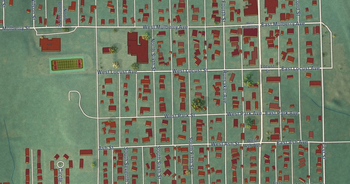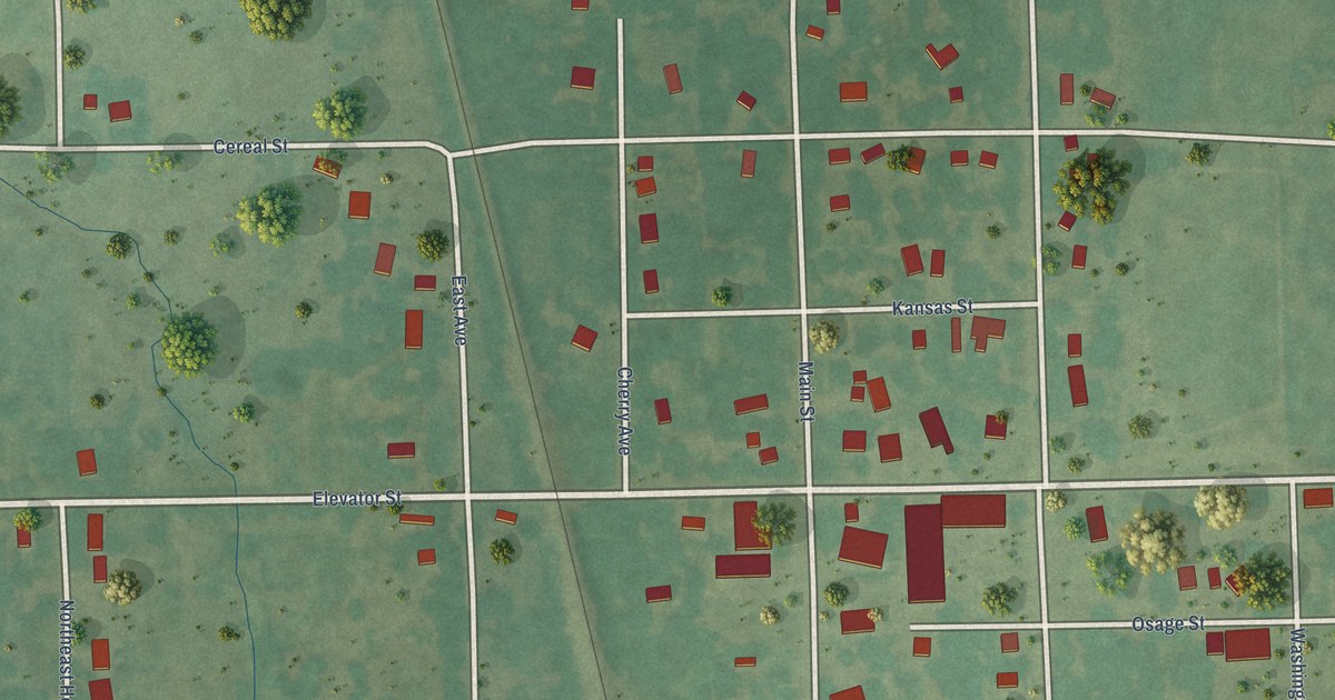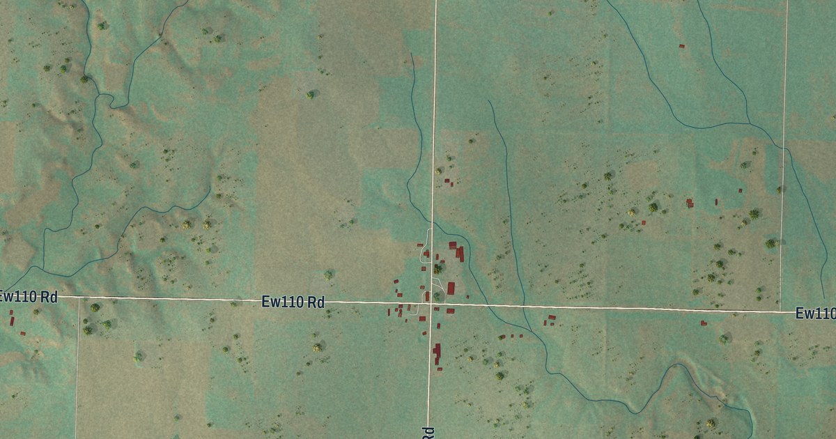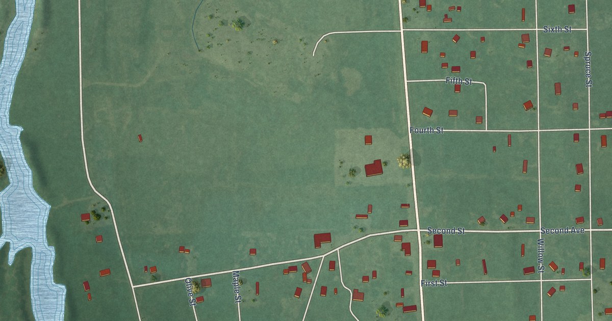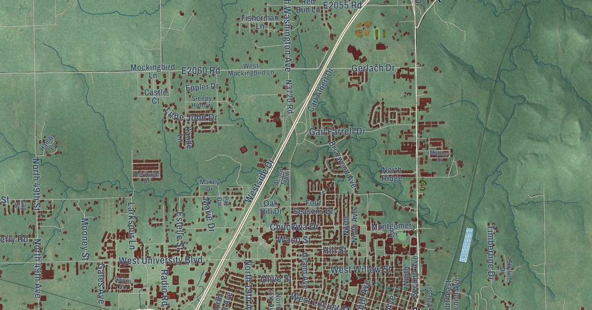
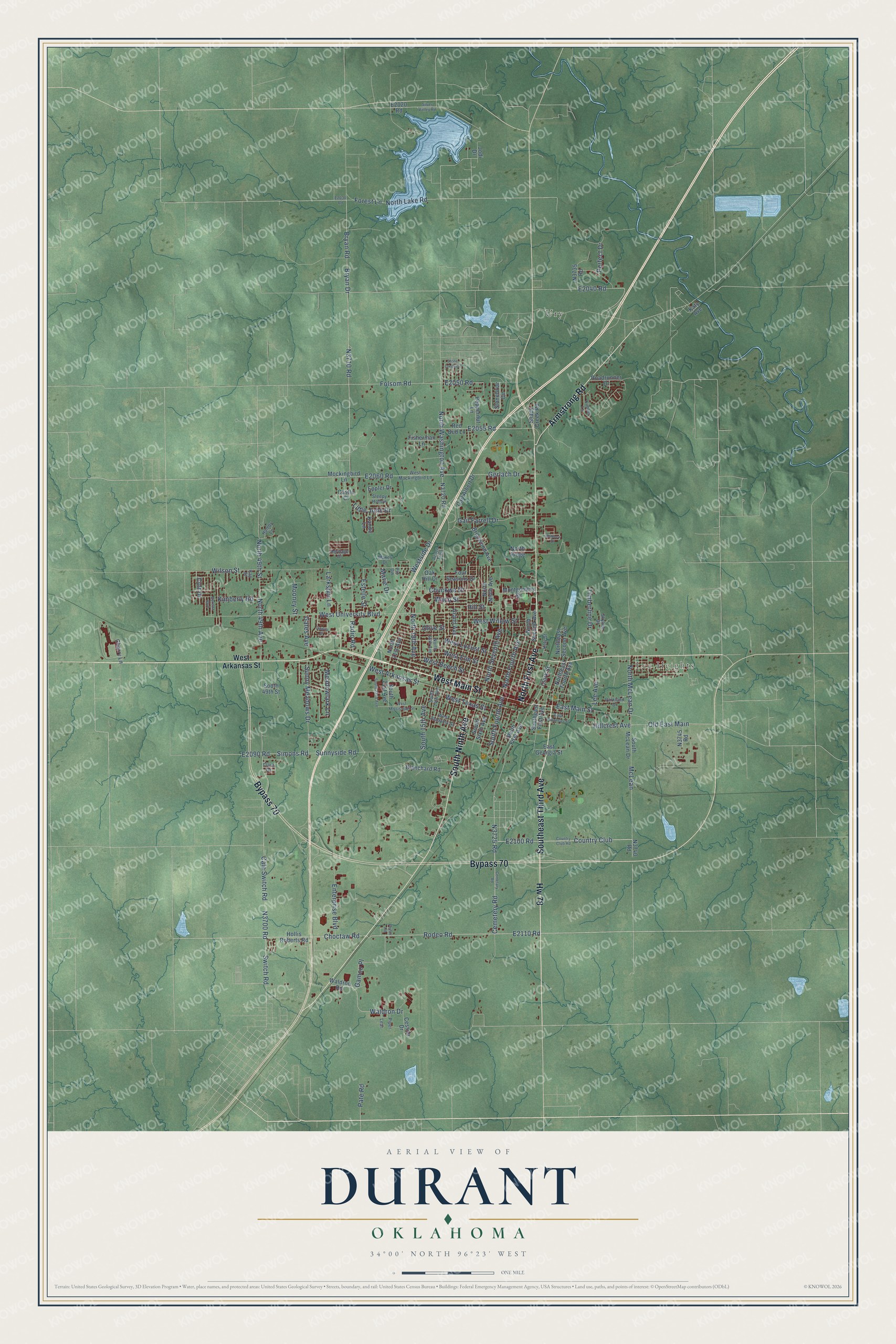
This beautifully detailed map of Durant, Oklahoma was created in 2026 using aerial imagery combined with modern topographical, census, street and landmark data. It's a modern aerial view of Durant in Bryan County, Oklahoma, that combines modern data with a vintage aesthetic. The roads feature printed names, and if you look closely you can find your exact house accurately shown in its correct location.
Explore an aerial view of Durant, Oklahoma
On this map you'll find Lee Heights, Ury, West Main Street, Southeast Third Avenue, Hw 78, Bypass 70, South Ninth Avenue, North First Avenue, Armstrong Road, Cemetery Road, Country Club, E2100 Road, and more. Each red shape is a building, so zoom in on the preview and look for yours.
Durant has a story worth telling. The record at okhistory.org puts it this way: "In 1873 Dixon Durant erected the town's first building, a wooden store, on the east side of the boxcar."
Durant is a city in Bryan County.
Take a closer look at the Durant map
Names on this map
These names are printed on this map.
Places: Lee Heights and Ury.
Streets and roads: West Main Street, Southeast Third Avenue, Hw 78, Bypass 70, South Ninth Avenue, North First Avenue, Armstrong Road, Cemetery Road, Country Club, Choctaw Road, Rodeo Road, Bryan Drive.
More street names, A to Z
Acorn Trail, Beretta Boulevard, Blanchard Road, Briarwood Avenue, Bryan Road, Cale Switch Road, Carl Albert Drive, Castle Court, Cemetary Road, Cessna Drive, Cherry Lane, Chuckwa Drive, Clara Drive, Clark Street, Colt Drive, Country Club Road, Dawna Street, East Arkansas Street, East Georgia Street, East Main Street, Enterprise Boulevard, Eppler Drive, Estelle Street, Fisherman Lane, Folsom Road, Forest Lane, Four Seasons Drive, Gail Farrell Drive, Gamco Place, Gates Avenue, Gerlach Drive, Grand Avenue, Hamby Lane, Heritage Drive, Hillcrest Avenue, Hill Street, Hollis Roberts Road, Jodi Drive, Kande Lane, Katy Avenue, Katy Street, Kay Street, Kimber Lane, Kimberly Road, Larkspur Lane, Lear, Lee Avenue, Little John Drive, Marie Drive, Matthew Drive, Maxey Drive, McLean, Meadowlark Lane, Mockingbird Lane, Montgomery Drive, Mooney Street, North 16th Avenue, North 19th Avenue, North 21st Avenue, North 49th Avenue, North 49th Street, Northeast Fourth Avenue, Northeast Second Avenue, North Fourth Avenue, North Lake Road, North McLean Drive, North Ninth Avenue, North Ridge, North Second Avenue, North Seventh Avenue, North Washington Avenue, Oak Hill Drive, Old East Main, Olive Street, Parkland Drive, Pate Road, Pecan Road, Peppernut Lane, Perfect Drive, Piper, Pvt Dw, Radio Road, Red Bud Lane, Roadrunner Drive, Shady Creek Road, Silver Valley Road, Simons Road, Skyline Drive, Sleepy Hollow, South 14th Avenue, South 15th Avenue, South 21st Avenue, South 22nd Avenue, South 49th Street, Southeast First Avenue, South First Avenue, South Fourth Avenue, South McLean Drive, South Sixth Avenue, Stonebriar Circle, Stone Creek Drive, Sunny Meadows Drive, Sunnyside Road, Switch Road, Timberline Drive, Waco Street, Waldron Drive, Waldron Road, West Alabama Street, West Arkansas Street, West Beech Street, West Elm Street, West Locust Street, West Mississippi Street, West Mockingbird Lane, Westside Drive, West Texas Street, West University Boulevard, West Willow Street, Wilson Street.
Created by KNOWOL in 2026. The buildings are small red shapes, the roads carry their printed names, and shaded relief shows the shape of the land. The title panel reads "AERIAL VIEW OF DURANT OKLAHOMA" with 34°00' NORTH 96°23' WEST.
It looks right in a kitchen, an office or a den, and it's a gift for anyone who grew up in Durant or moved away. Open the preview and find your street. See sizes and frames for the Durant map.