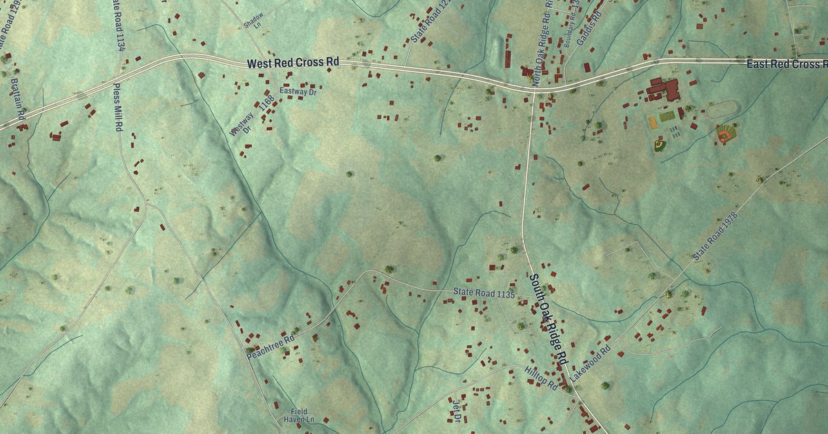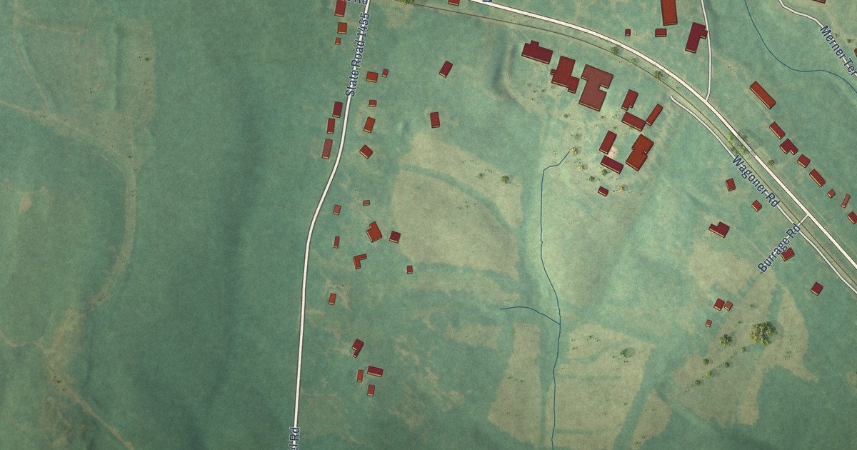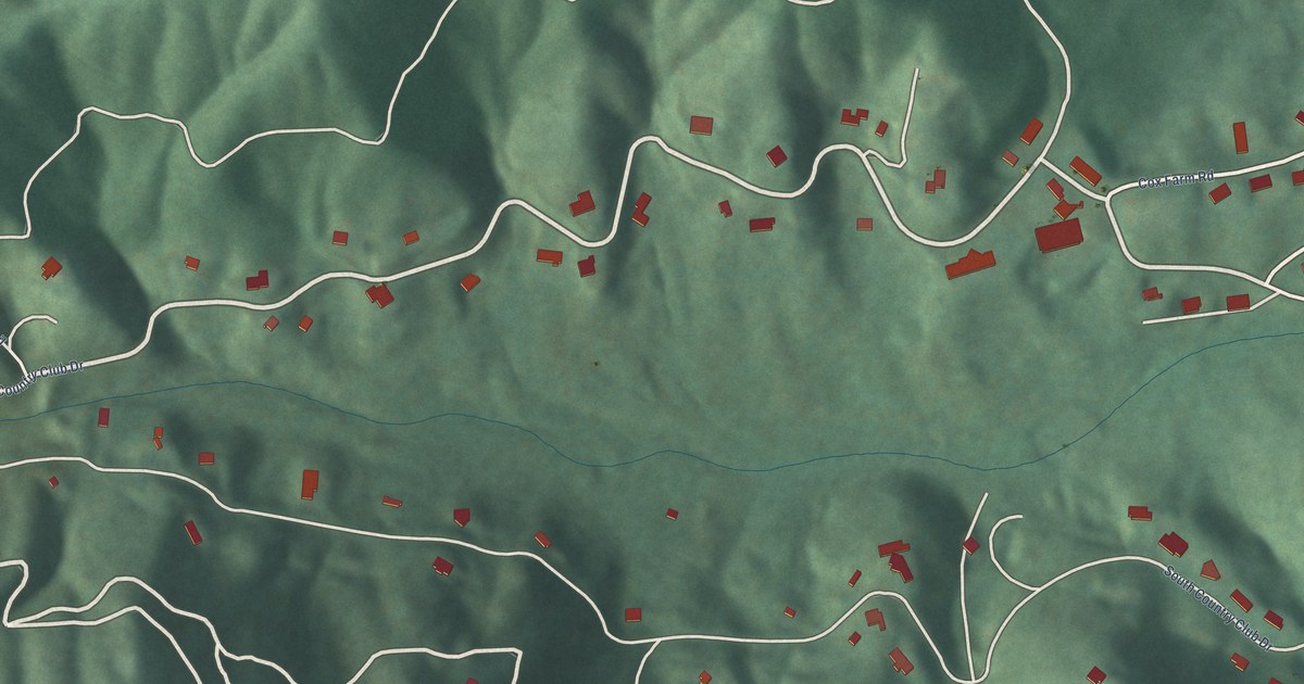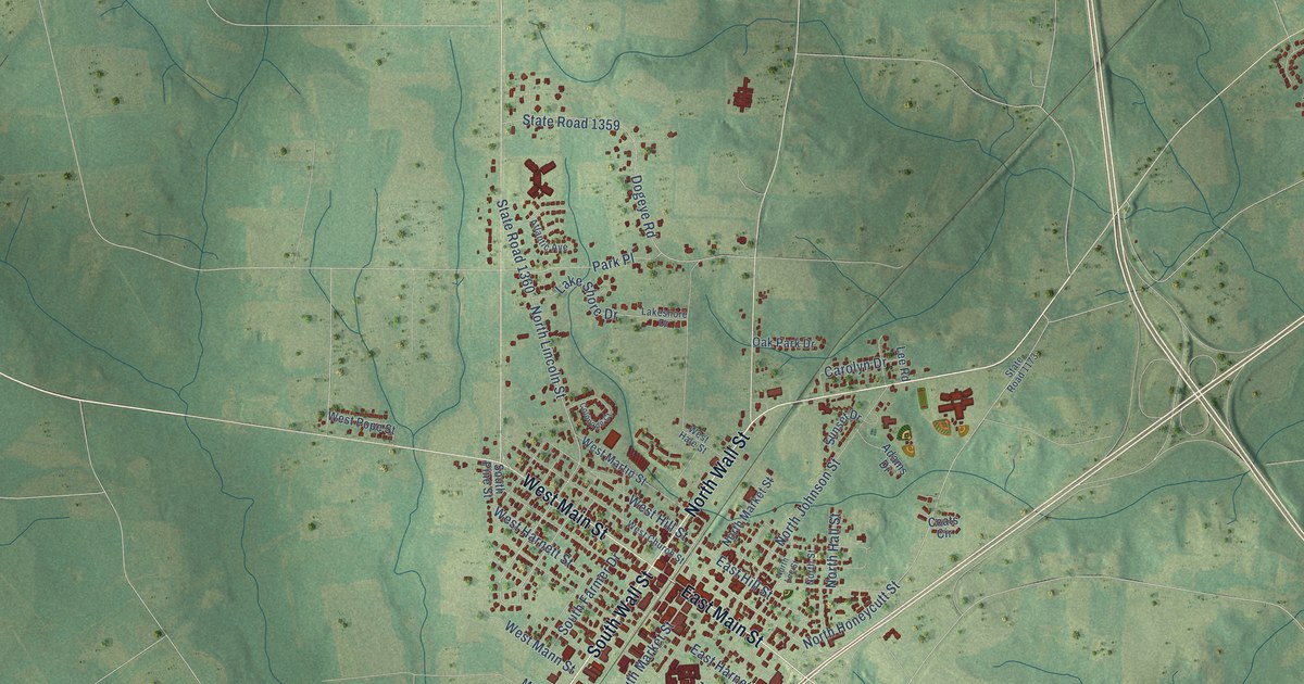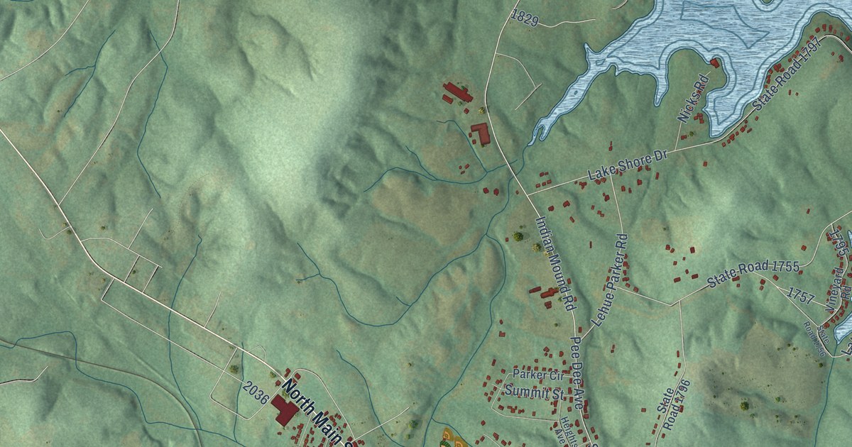
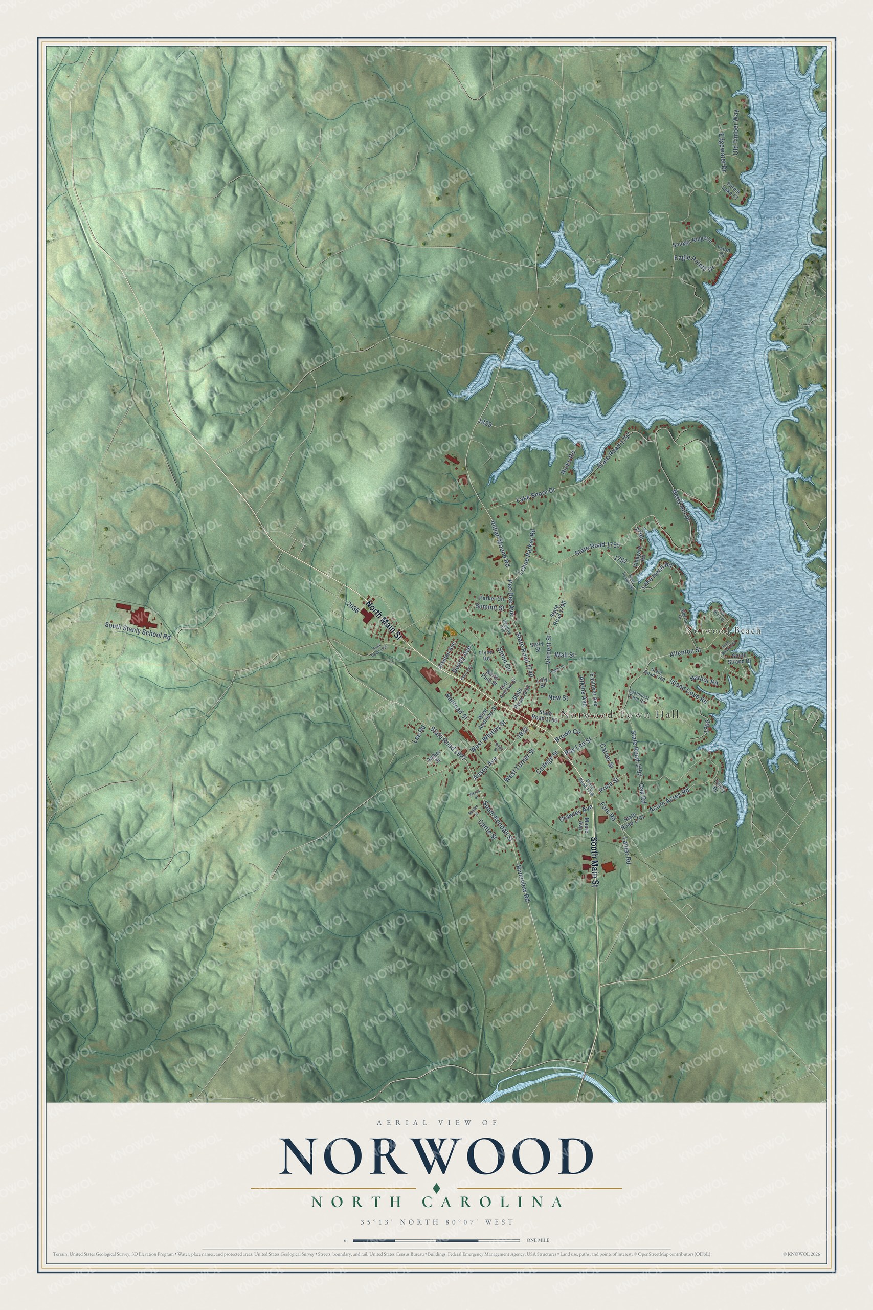
This beautifully detailed map of Norwood, North Carolina was created in 2026 using aerial imagery combined with modern topographical, census, street and landmark data. It's a modern aerial view of Norwood in Stanly County, North Carolina, that combines modern data with a vintage aesthetic. The roads feature printed names, and if you look closely you can find your exact house accurately shown in its correct location.
Explore an aerial view of Norwood, North Carolina
On this map you'll find Norwood Town Hall, Norwood Beach, South Main Street, North Main Street, South Kendall Street, Anson Avenue, Riverview Road, State Road 1927, State Road 1740, Indian Mound Road, Pee Dee Avenue, West Whitley Street, and more. Each red shape is a building, so zoom in on the preview and look for yours.
Here is a piece of Norwood history, in the words of the record. The North Carolina Gazetteer puts it this way: "Norwood town in SE Stanly County on Lake Tillery. Alt. 365. Post office est. there in 1826 and named for William C. Norwood, first postmaster. Inc. 1881."
Norwood is a town in Stanly County. The Census Bureau counted 2,367 people here in 2020.
Take a closer look at the Norwood map
Names on this map
These names are printed on this map.
Places: Norwood Town Hall and Norwood Beach.
Streets and roads: South Main Street, North Main Street, South Kendall Street, Anson Avenue, Riverview Road, State Road 1927, State Road 1740, Indian Mound Road, Pee Dee Avenue, West Whitley Street, Price Street, State Road 1755.
More street names, A to Z
Acorn Acres Road, Aikman Avenue, Alberta Drive, Allenton Street, Amber Street, Anwit Street, Atkins Avenue, Bay Shore Drive, Berry Hill Drive, Brown Circle, Carlie Street, Carver Street, College Street, Crawley Avenue, Doody Avenue, Eagle Pointe Drive, East Andrews Street, Eastover Avenue, Edgewater Drive, Flynn Road, Forest Lake Court, Fork Road, Harbor Road, Heights Avenue, Island Cove Road, Kelty Avenue, Lake Head Road, Lakehurst Farm Road, Lake Shore Drive, Lanier Road, Lee Road, Lehue Parker Road, Lilly Street, Maple Avenue, New Street, Nicks Road, North Pine Street, Oak Road, Old Timber Way, Parker Circle, Poplin Street, Railroad Street, Ray Lee Street, Shinn Circle, Snuggs Ridge Lane, South Stanly School Road, South Strand Drive, State Road 1756, State Road 1760, State Road 1761, State Road 1762, State Road 1766, State Road 1791, State Road 1792, State Road 1796, State Road 1797, State Road 1922, State Road 1933, Story Street, Summit Street, Sunset Street, Talon Court, Tillery Drive, Vincent Street, Vineyard Road, Wall Street, Welch Street, West Andrews Street, West Turner Street.
Created by KNOWOL in 2026. The buildings are small red shapes, the roads carry their printed names, and shaded relief shows the shape of the land. The title panel reads "AERIAL VIEW OF NORWOOD NORTH CAROLINA" with 35°13' NORTH 80°07' WEST.
It suits a den, a classroom or a front hall, and it makes a gift for anyone with Norwood roots. Open the preview and find the block you know. See sizes and frames for the Norwood map.