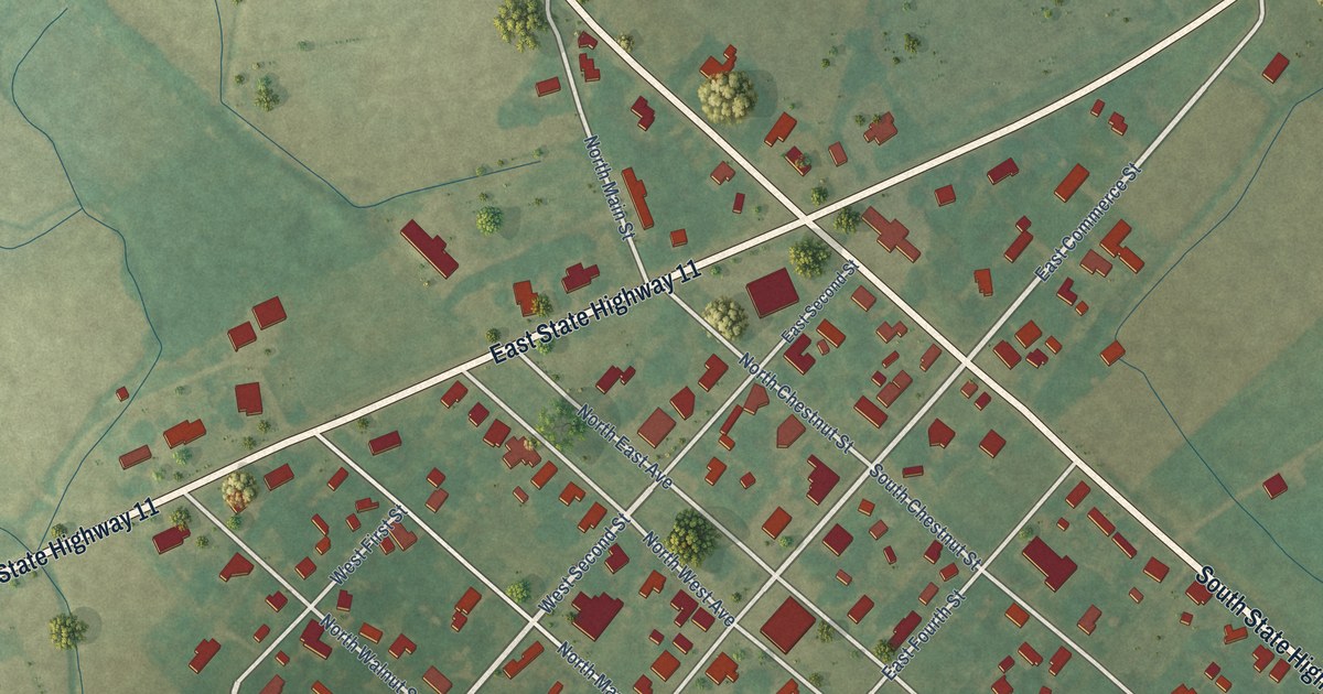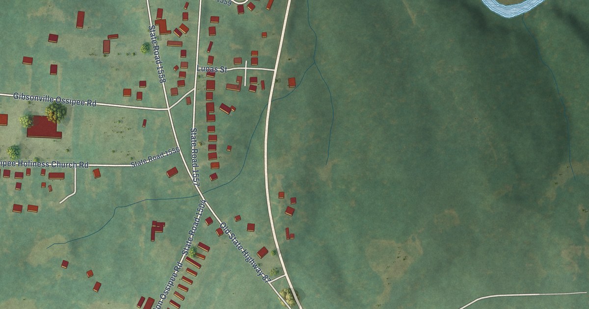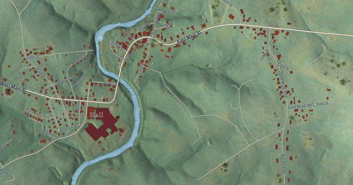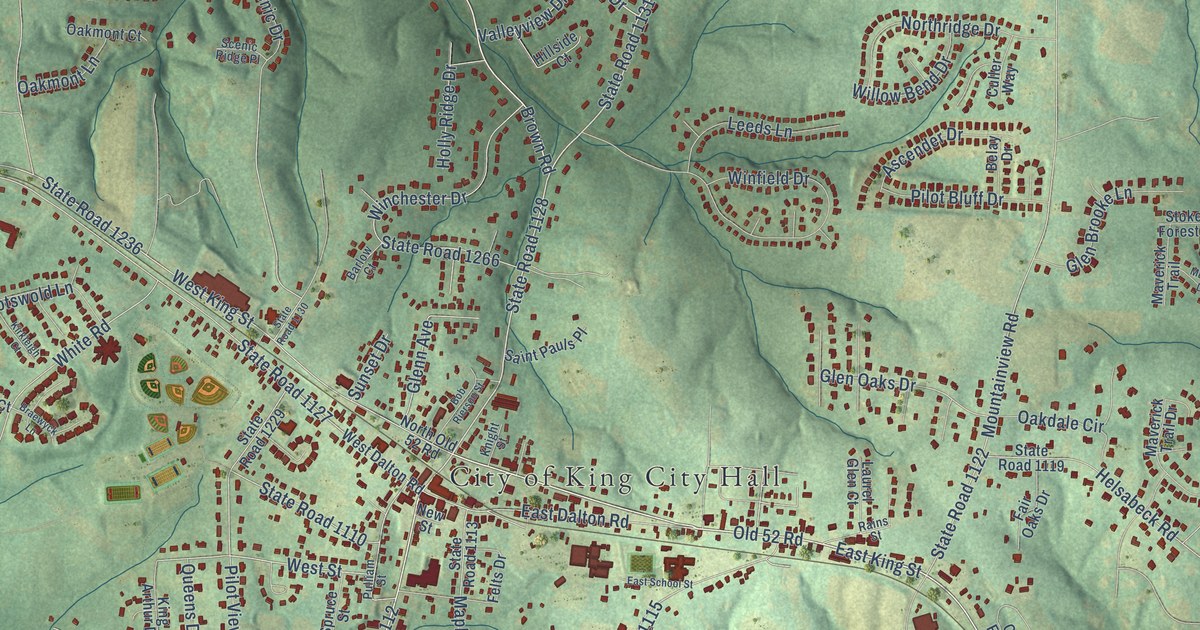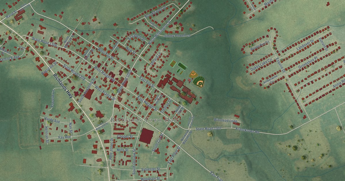
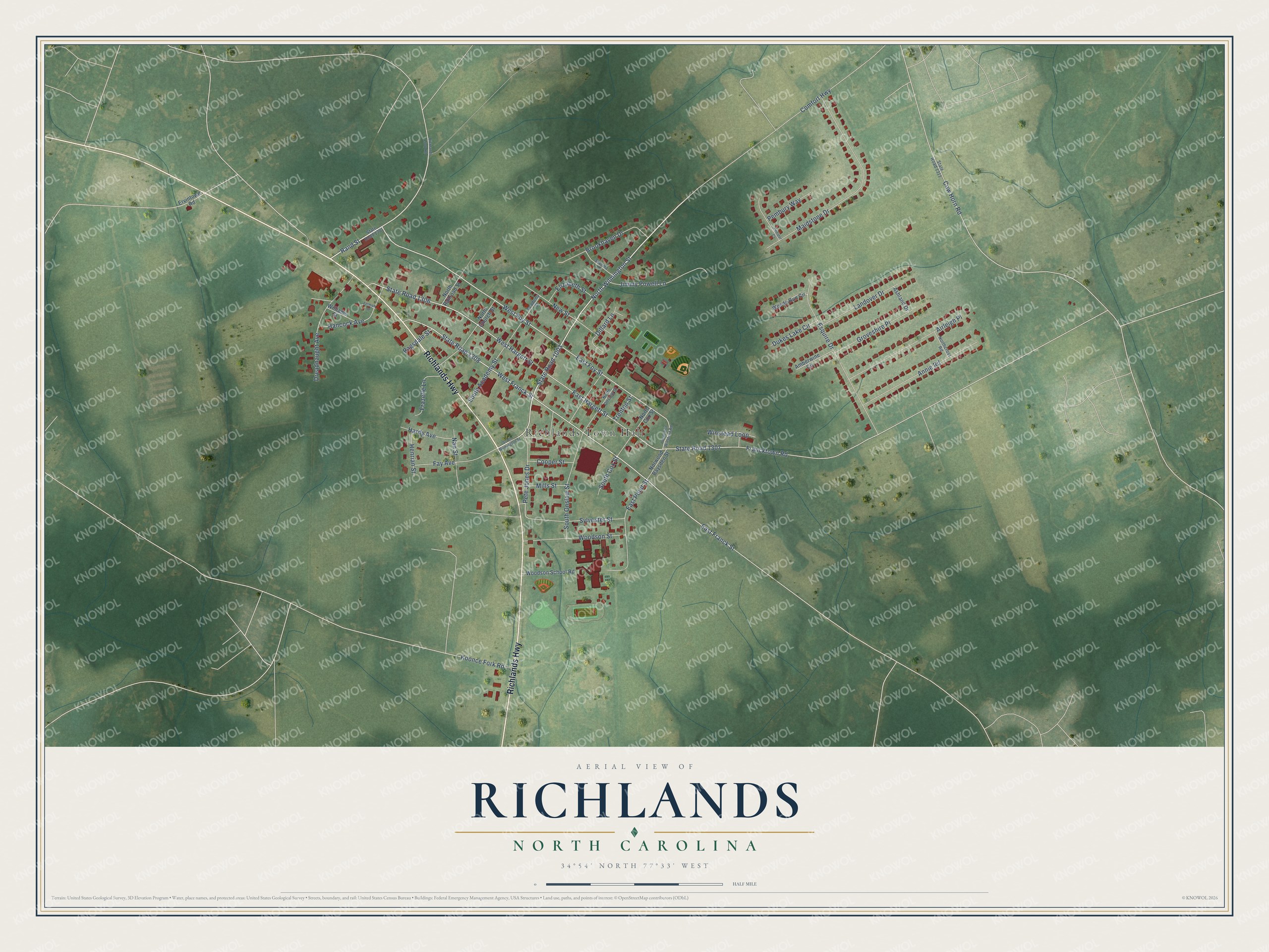
This beautifully detailed map of Richlands, North Carolina was created in 2026 using aerial imagery combined with modern topographical, census, street and landmark data. It's a modern aerial view of Richlands in Onslow County, North Carolina, that combines modern data with a vintage aesthetic. The roads feature printed names, and if you look closely you can find your exact house accurately shown in its correct location.
Explore an aerial view of Richlands, North Carolina
On this map you'll find Richlands Town Hall, Richlands Highway, North Wilmington Street, Rand Street, West Foy Street, State Road 1003, West Franck Street, East Franck Street, East Foy Street, State Road 1306, West Hargett Street, Pete Jones Drive, and more. Each red shape is a building, so zoom in on the preview and look for yours.
Richlands has a story worth telling. The North Carolina Gazetteer puts it this way: "Settled approx. 1775; inc. 1880. Named for fertile soil of the region. Former home of Richlands Academy (1848-1904); it served as the educational center of Jones and Onslow Counties."
Richlands is a town in Onslow County. The Census Bureau counted 2,287 people here in 2020.
Take a closer look at the Richlands map
Names on this map
These names are printed on this map.
Places: Richlands Town Hall.
Streets and roads: Richlands Highway, North Wilmington Street, Rand Street, West Foy Street, State Road 1003, West Franck Street, East Franck Street, East Foy Street, State Road 1306, West Hargett Street, Pete Jones Drive, East Hargett Street.
More street names, A to Z
Academy Street, Airleigh Place, Amberwine Circle, Annie Road, Ashland Drive, Brookhaven Drive, Comfort Highway, Cooper Street, Cow Horn Road, Dillard Lane, Dreadnaught Avenue, Dukes Lake Circle, East Point Street, Elizabeth Street, Ervintown Road, Esquire Drive, Fay Avenue, Francktown Road, Frazelle Lane, Groveshire Place, Hancock Avenue, Hardy Avenue, Henrian Street, Jarman Street, Jimmy Powell Lane, Koonce Fork Road, Landover Drive, Lucile Brit Winstead Road, Maidstone Drive, Mills Street, Nan Street, New Street, North Church Street, North Cox Street, Northcross Road, North Onslow Street, North Railroad Street, Norwood Baysden Street, Pembury Way, Penster Court, Ragsdale Street, Richlands Loop Road, Sabrina Drive, South Academy Street, South Cox Street, South Onslow Street, South Wilmington Street, State Road 1301, State Road 1307, State Road 1308, State Road 1311, Sylvester Street, Trenton Street, Williams Street, Winstead Loop, Woodson School Road, Woodson Street, Woods Run Circle.
Created by KNOWOL in 2026. The buildings are small red shapes, the roads carry their printed names, and shaded relief shows the shape of the land. The title panel reads "AERIAL VIEW OF RICHLANDS NORTH CAROLINA" with 34°54' NORTH 77°33' WEST.
It looks right in a kitchen, an office or a den, and it's a gift for anyone who grew up in Richlands or moved away. Open the preview and find your street. See sizes and frames for the Richlands map.