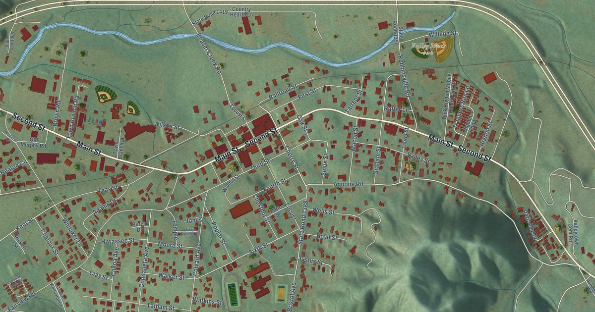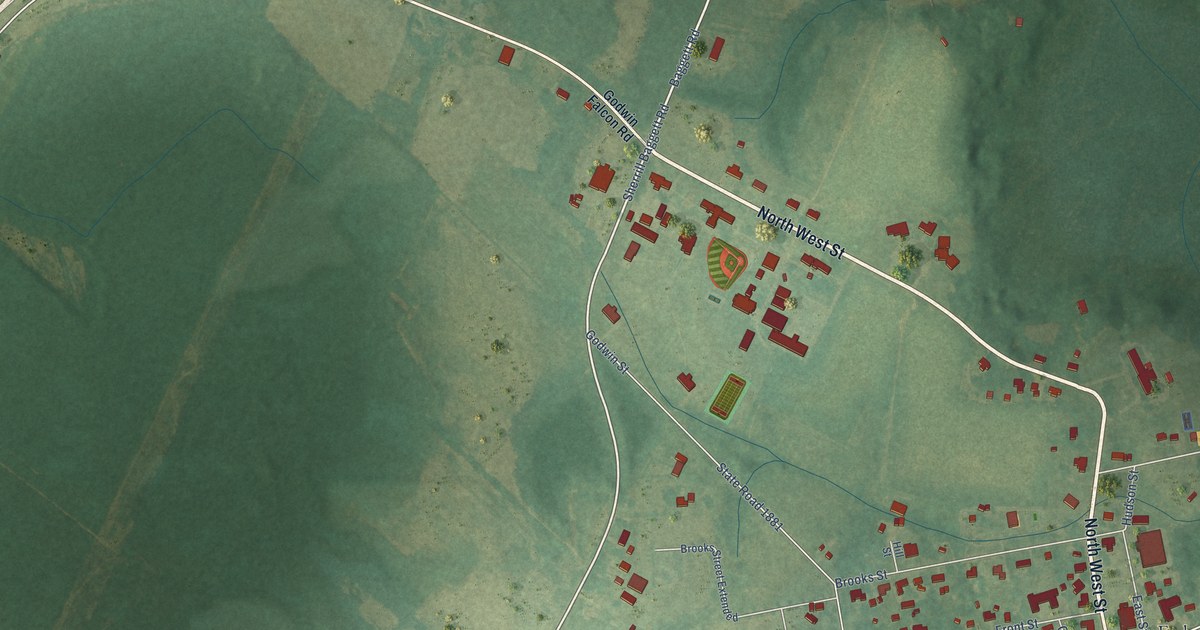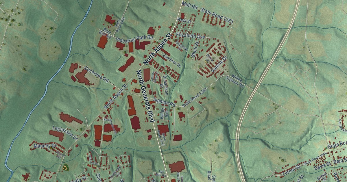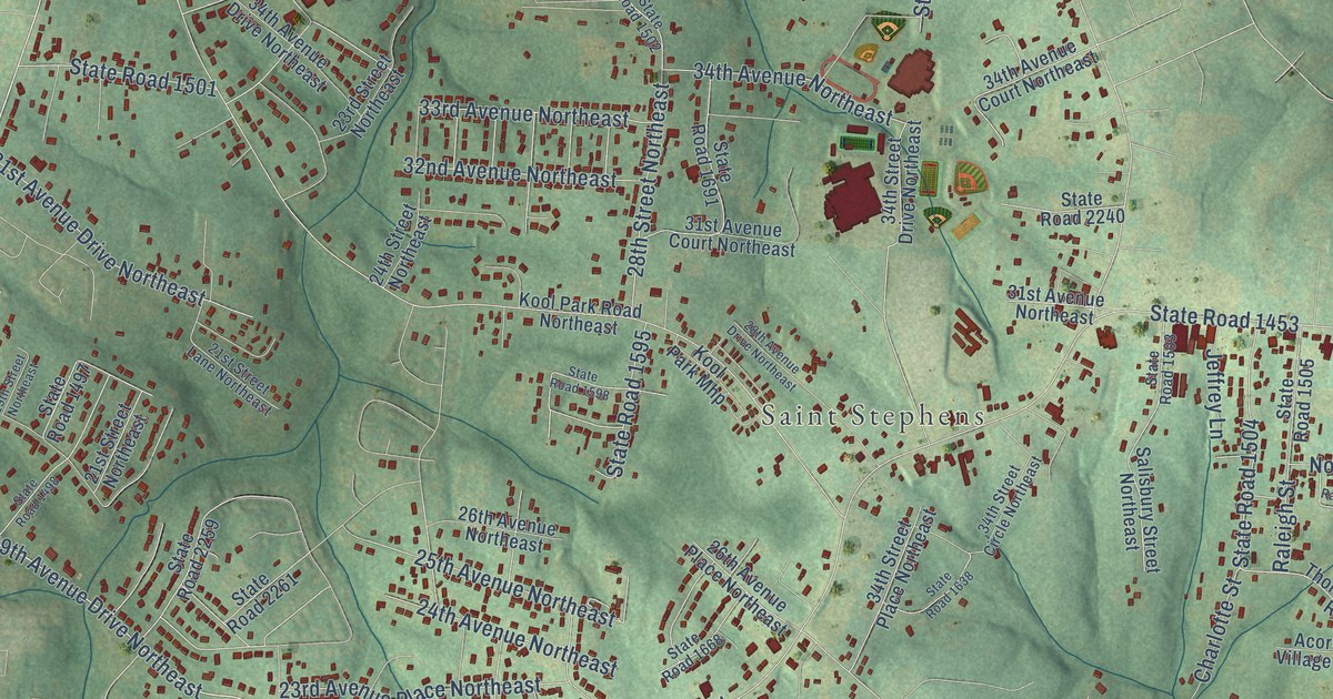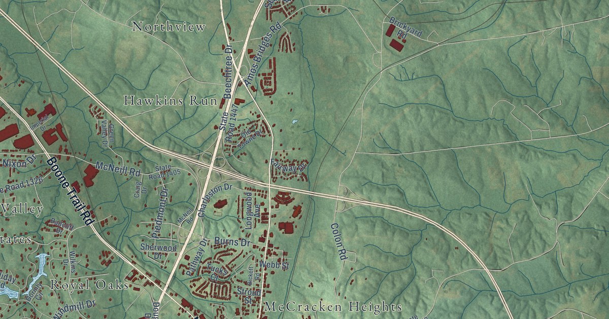
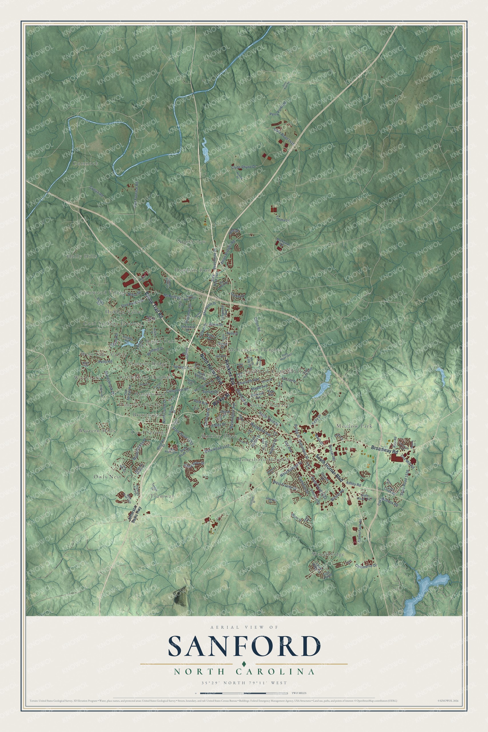
This beautifully detailed map of Sanford, North Carolina was created in 2026 using aerial imagery combined with modern topographical, census, street and landmark data. It's a modern aerial view of Sanford in Lee County, North Carolina, that combines modern data with a vintage aesthetic. The roads feature printed names, and if you look closely you can find your exact house accurately shown in its correct location.
Explore an aerial view of Sanford, North Carolina
On this map you'll find Sanford City Hall, Berkley Place, Brentwood, Brookwood, Carbonton Heights, Cool Springs, Cool Springs Estates, Cumnock, Glenwood Village, Hanover Circle, Hawkins Run, Hidden Valley, and more. Each red shape is a building, so zoom in on the preview and look for yours.
Sanford has a story worth telling. The record at dncr.nc.gov puts it this way: "The founding of Buffalo Presbyterian Church predated the Fayetteville Presbytery and long predated the establishment of the city of Sanford, within which bounds it now sits."
Sanford is a city in Lee County. The Census Bureau counted 30,261 people here in 2020.
Take a closer look at the Sanford map
Names on this map
These names are printed on this map.
Places: Sanford City Hall, Berkley Place, Brentwood, Brookwood, Carbonton Heights, Cool Springs, Cool Springs Estates, Cumnock, Glenwood Village, Hanover Circle, Hawkins Run, Hidden Valley, Holly Hills, Jonesboro Heights, McCracken Heights, Meadow Park, Northview, Owls Nest, Planters Ridge, Royal Oaks, Sunset Terrace, Tramway, West Lake Valley, Westcroft, Western Hills and Woodbridge.
Streets and roads: Hawkins Avenue, South Horner Boulevard, North Horner Boulevard, Broadway Road, Boone Trail Road, Wicker Street, Lee Avenue, State Road 1133, South Third Street, Charlotte Avenue, Ashby Road, State Road 1415.
More street names, A to Z
Amos Bridges Road, Ashe Street, Beechtree Drive, Bickett Road, Bounty Lane, Bragg Street, Brickyard Road, Bridgewater Drive, Bristol Way, Burns Drive, Cameron Drive, Carbonton Road, Carr Creek Road, Carthage Street, Cave Road, Charleston Drive, Chatham Street, Church Street, Clyde Rhyne Drive, Colon Road, Commerce Drive, Cool Springs Road, Cornell Drive, Cotten Road, Cox Maddox Road, Cox Mill Road, Craig Drive, Currituck Drive, Dalrymple Street, Deep River Road, Denada Path, Dogwood Acres Drive, Douglas Drive, Elm Street, Fairway Drive, Fields Drive, First Pointe, Fitts Street, Glendale Drive, Gloucester Drive, Gormly Circle, Grant Street, Green Valley Drive, Hall Street, Harvey Faulk Road, Hill Avenue, Holiday Road, Hughes Street, Imperial Drive, Industrial Drive, Iron Furnace Road, James Street, Jasany Drive, Jefferson Davis Highway, Juniper Drive, Kelly Drive, Laurel Ridge Drive, Legion Drive, Longwood Avenue, Mann Street, Maple Avenue, McIver Street, McNeill Road, McNeil Road, Nash Street, Nixon Drive, North Avenue, North Currie Drive, North Fifth Street, North Seventh Street, North Vance Street, Oakwood Avenue, Old Towne Drive, Oriole Circle, Owls Nest Road, Park Avenue, Pathway Drive, Perry Pond Road, Petty Road, Piedmont Drive, Radcliff Drive, Renee Drive, Rice Road, Rosser Road, Ryan Avenue, San Lee Drive, Scott Avenue, Seth Drive, Sherwood Drive, Sommers Street, Spring Lane, State Road 1002, State Road 1117, State Road 1122, State Road 1153, State Road 1154, State Road 1237, State Road 1326, State Road 1334, State Road 1405, State Road 1447, State Road 1509, State Road 1526, State Road 1527, Stoneybrook Drive, Stroud Street, Stuart Drive, Sunset Drive, Sutphin Drive, Tabitha Lane, Talley Avenue, Thornwood Loop, Tiffany Drive, Truman Drive, Tucks Court, Tyndall Drive, Tyvola Street, Valley Road, Washington Avenue, Watson Avenue, Webb Street, West Chisholm Street, West Frazier Drive, West Garden Street, Westover Drive, West Raleigh Street, Wilkins Drive, Wilson Road, Wimberly Woods Drive, Windmill Drive, Winterlocken Drive, Womack Road, Woodland Avenue.
Created by KNOWOL in 2026. The buildings are small red shapes, the roads carry their printed names, and shaded relief shows the shape of the land. The title panel reads "AERIAL VIEW OF SANFORD NORTH CAROLINA" with 35°29' NORTH 79°11' WEST.
It looks right in a kitchen, an office or a den, and it's a gift for anyone who grew up in Sanford or moved away. Open the preview and find your street. See sizes and frames for the Sanford map.