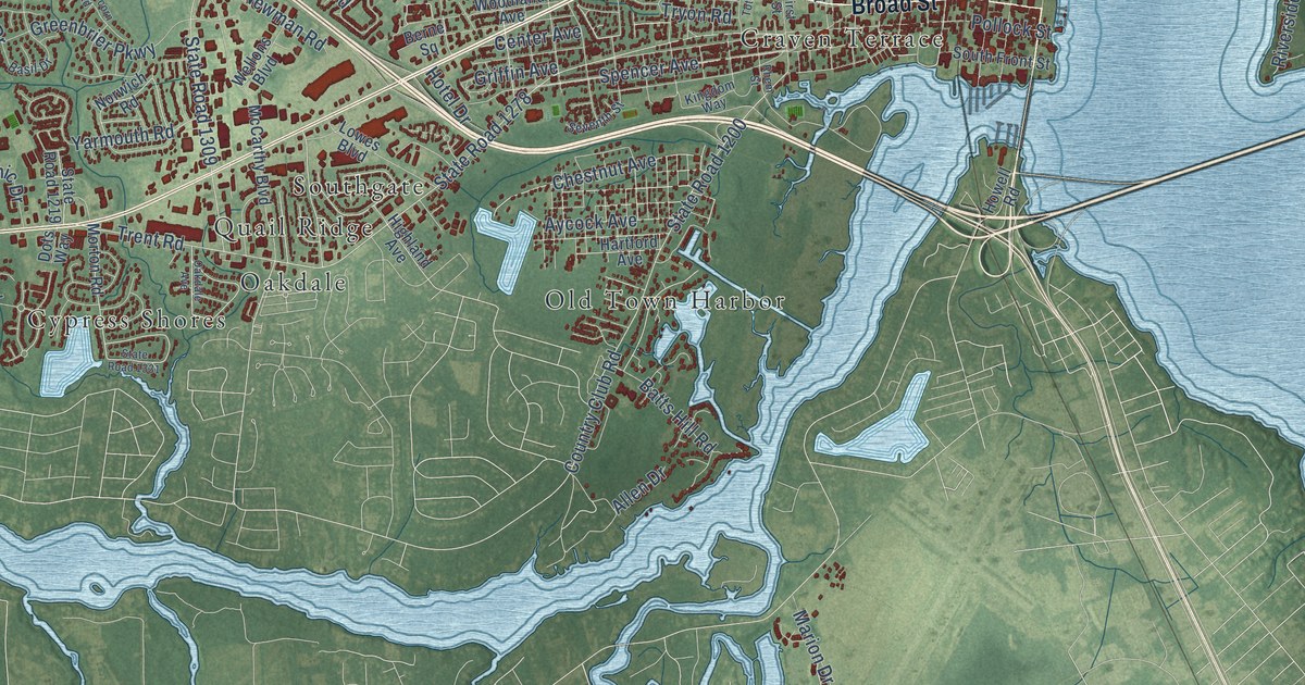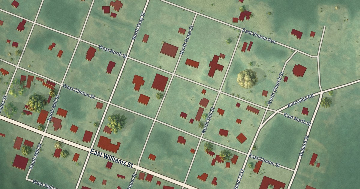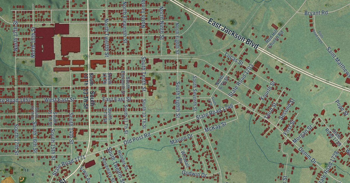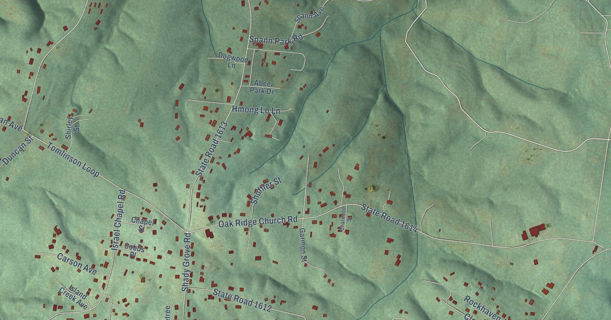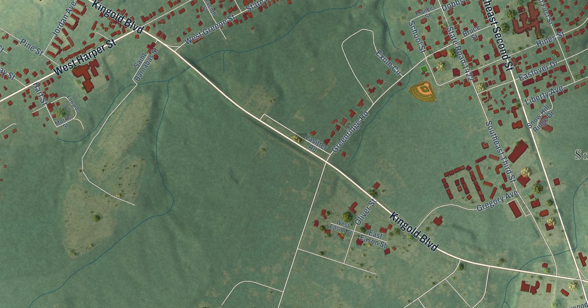
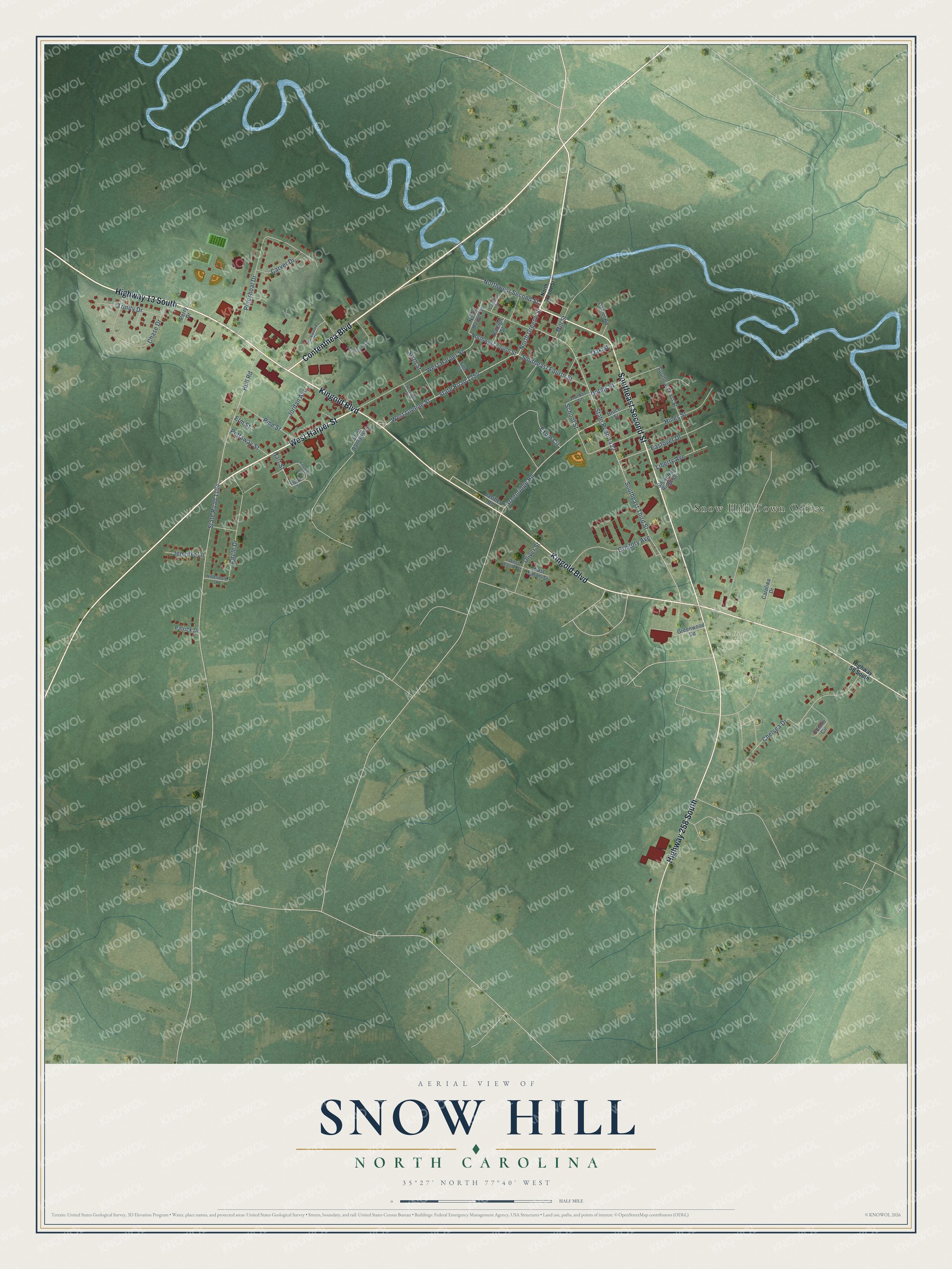
This beautifully detailed map of Snow Hill, North Carolina was created in 2026 using aerial imagery combined with modern topographical, census, street and landmark data. It's a modern aerial view of Snow Hill in Greene County, North Carolina, that combines modern data with a vintage aesthetic. The roads feature printed names, and if you look closely you can find your exact house accurately shown in its correct location.
Explore an aerial view of Snow Hill, North Carolina
On this map you'll find Snow Hill Town Office, Snow Hill Cemetery, Highway 13 South, Kingold Boulevard, Southeast Second Street, West Harper Street, Highway 258 South, Contentnea Boulevard, North Greene Street, School Street, Southeast Third Street, State Road 1422, and more. Each red shape is a building, so zoom in on the preview and look for yours.
Here is a piece of Snow Hill history, in the words of the record. The Town of Snow Hill puts it this way: "Founded in 1828, the Town of Snow Hill is the Greene County NC governmental seat. Snow Hill was originally a major trading depot on Contentnea Creek. At the time, Contentnea Creek was a main Wilson to New Bern trading artery."
Snow Hill is a town in Greene County. The Census Bureau counted 1,481 people here in 2020.
Take a closer look at the Snow Hill map
Names on this map
These names are printed on this map.
Places: Snow Hill Town Office and Snow Hill Cemetery.
Streets and roads: Highway 13 South, Kingold Boulevard, Southeast Second Street, West Harper Street, Highway 258 South, Contentnea Boulevard, North Greene Street, School Street, Southeast Third Street, State Road 1422, Hull Road, State Road 1104.
More street names, A to Z
Bruce Street, Carolina Drive, Carver Drive, Chase Drive, Chelsea Drive, Circle Drive, Connie Circle, Corbett Street, Daniel Road, Dobbs Street, East Eason Street, Eastover Drive, Edwards Circle, Elm Street, Exum Circle, Fifth Street, Frances Street, Greenridge Road, Greenwood Square, Gregory Avenue, Hart Street, Highway 58 South, Hillendale Drive, Hines Street, Jennifer Lane, Jordan Avenue, Lasitter Road, Liberty Avenue, Mill Street, Morris Street, North Harper Street, Northwest Fourth Street, Northwest Second Street, Oak Street, Oliver Street, Parkwood Drive, Patrick Drive, Perry Drive, Pettaway Street, Pineshoal Drive, Pine Street, Professional Drive, Raleigh Street, Saint Barnabas Street, Seventh Street, Sixth Street, Snow Hill Ridge Drive, Southeast First Street, Southeast Fourth Street, State Road 1254, Trinity Drive, West Eason Street, West Greene Street.
Created by KNOWOL in 2026. The buildings are small red shapes, the roads carry their printed names, and shaded relief shows the shape of the land. The title panel reads "AERIAL VIEW OF SNOW HILL NORTH CAROLINA" with 35°27' NORTH 77°40' WEST.
It suits a den, a classroom or a front hall, and it makes a gift for anyone with Snow Hill roots. Open the preview and find the block you know. See sizes and frames for the Snow Hill map.