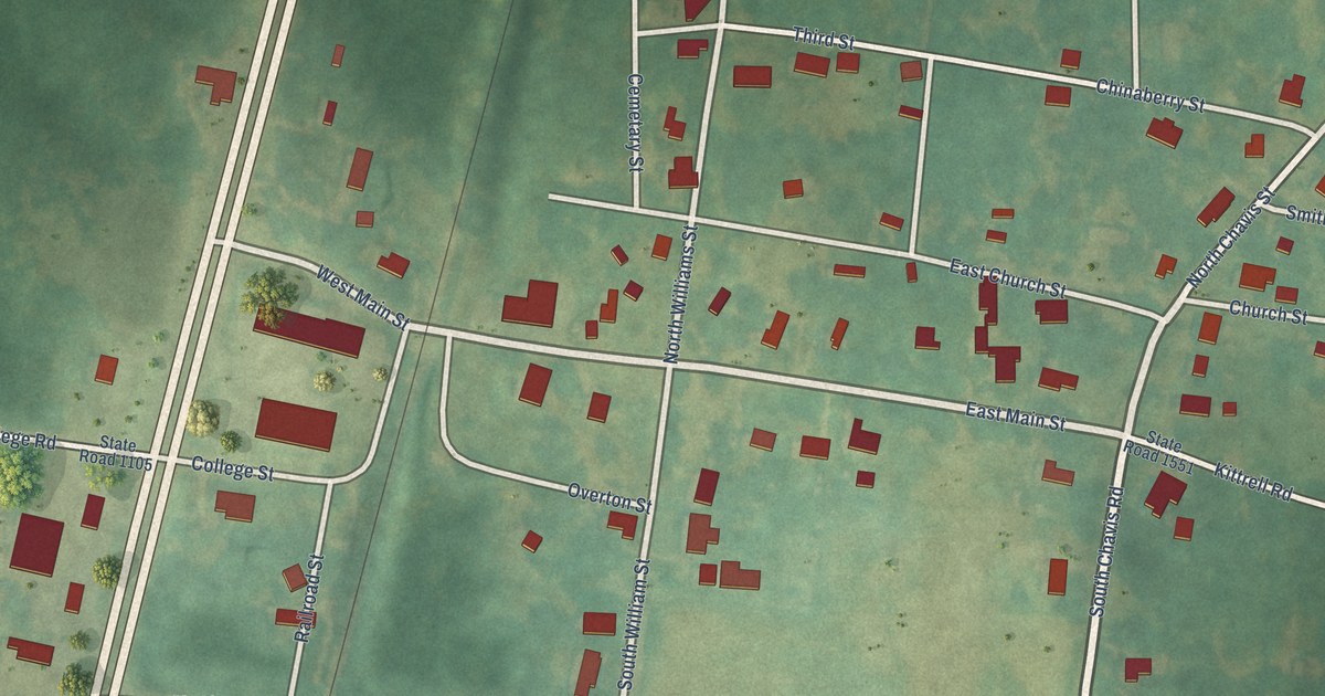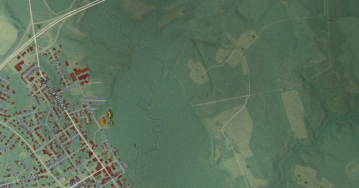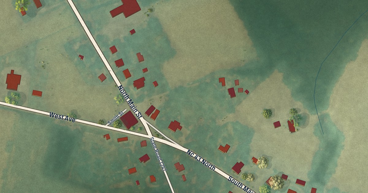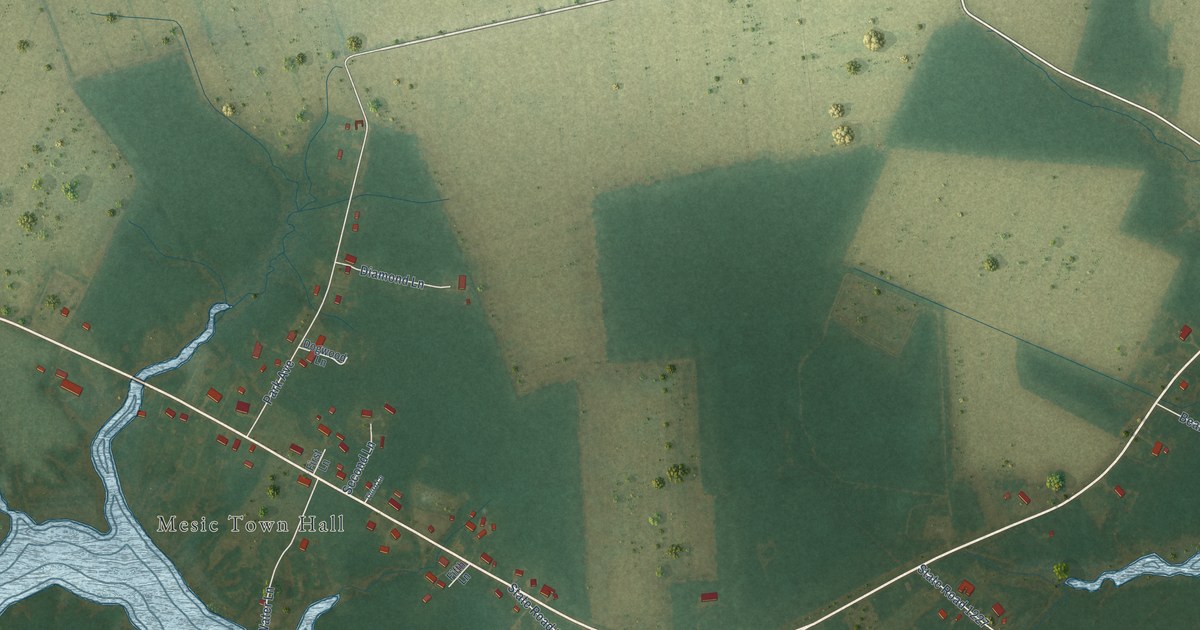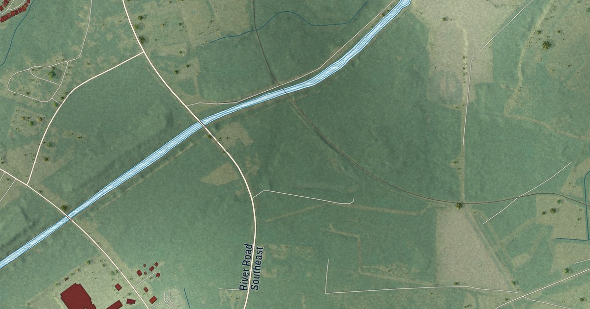
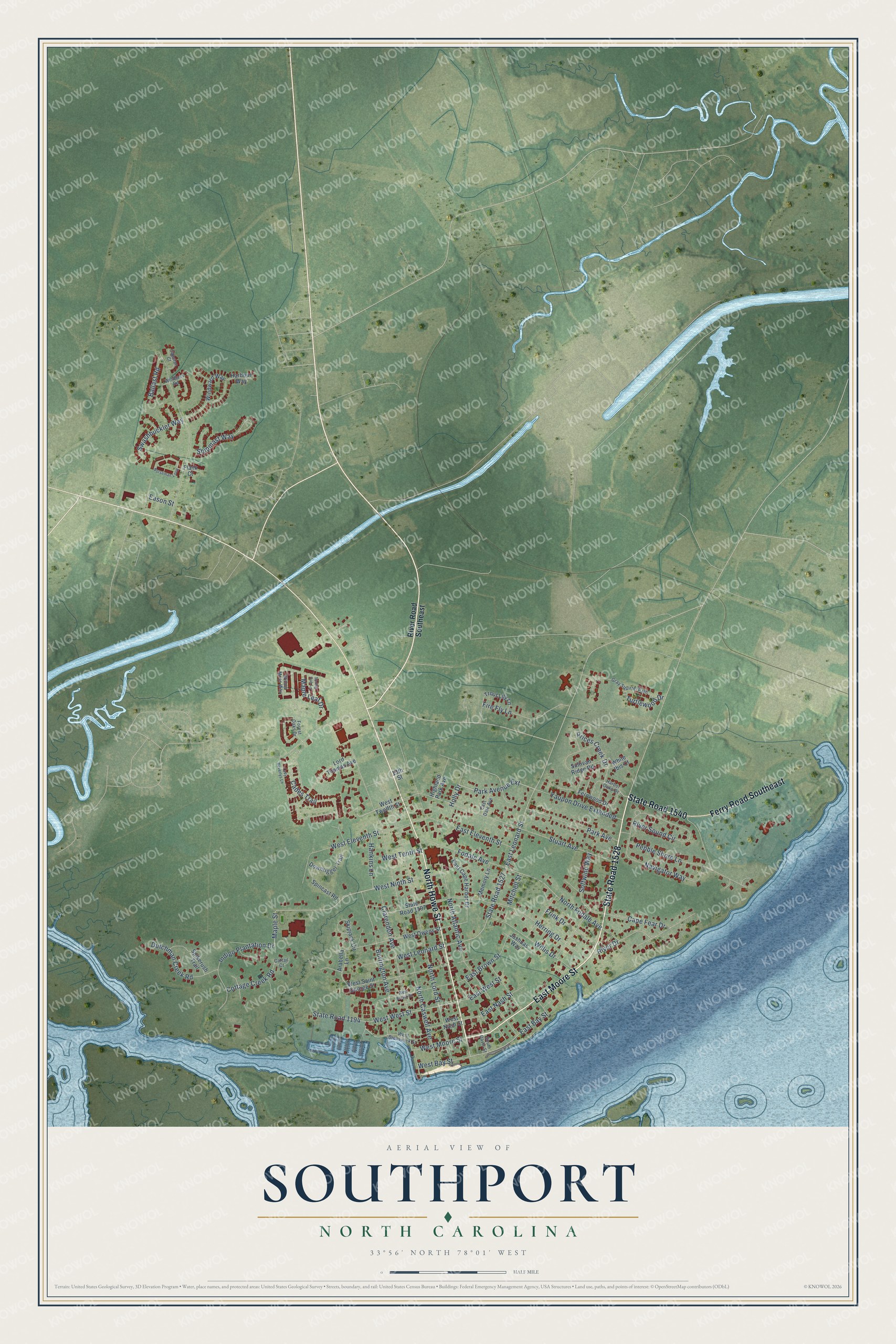
This beautifully detailed map of Southport, North Carolina was created in 2026 using aerial imagery combined with modern topographical, census, street and landmark data. It's a modern aerial view of Southport in Brunswick County, North Carolina, that combines modern data with a vintage aesthetic. The roads feature printed names, and if you look closely you can find your exact house accurately shown in its correct location.
Explore an aerial view of Southport, North Carolina
On this map you'll find East Moore Street, State Road 1528, North Howe Street, Ferry Road Southeast, State Road 1540, East Bay Street, West Ninth Street, Park Avenue Extension, River Drive, North Fodale Avenue, East Leonard Street, State Road 1527, and more. Each red shape is a building, so zoom in on the preview and look for yours.
Here is a piece of Southport history, in the words of the record. The record at dncr.nc.gov puts it this way: "Construction on Fort Johnston began in 1748 in what was long known as Smithville and is today known as Southport."
Southport is a city in Brunswick County. The Census Bureau counted 3,971 people here in 2020.
Take a closer look at the Southport map
Names on this map
These names are printed on this map.
Streets and roads: East Moore Street, State Road 1528, North Howe Street, Ferry Road Southeast, State Road 1540, East Bay Street, West Ninth Street, Park Avenue Extension, River Drive, North Fodale Avenue, West West Street, East Leonard Street.
More street names, A to Z
13th Street, Arabella Lane, Ballast Road, Burrington Avenue, Cades Trail, Cape Fear Drive, Capstan Court, Cattail Court, Clarendon Avenue, Cottage Creek Road, Downrigger Trail, Dutchman Creek Road, Eason Street, East Brown Street, East Cape Harbor Drive, East Dale Avenue, East Eleventh Street, East Nash Street, East West Street, Fernwood Drive, Fire Fly Lane, Flank Court, Fodale Avenue, Forest Oaks Drive, Frink Drive, Gray Squirrel Path, Hankins Lane, Harbor Oaks Drive, Harbour Way, Herring Drive, Highland Park Avenue, Holly Drive, Indigo Plantation Drive, Joshuas Way, Lady Beverlys Lane, Lord Thomas Avenue, Maple Leaf Drive, Maple Street, Memory Lane, Mitchell Street, Navigator Way, Norseman Loop, North Atlantic Avenue, North Caswell Avenue, North Lord Street, Park Avenue, Pebble Shore Lane, Prices Creek Drive, River Road Southeast, River Sound Circle, Shipmast Way, Skipjack Circle, Softwind Way, South Davis Street, Spikerush Trail, Spincast Road, Spring Oak Lane, State Road 1194, State Road 1197, State Road 1527, Stuart Avenue, Sullivan Ridge Road, Swashbuckler Way, Trout Lily Lane, Turtlewood Drive, West Bay Street, West Brown Street, West Brunswick Street, West Eleventh Street, West Leonard Street, West Moore Street, West Nash Street, West Owens Street, West Saint George Street, West Tenth Street, West Twelfth Street, White Ibis Court, Willis Drive, Willow Moss Way, Windlass Road, Windward Way, Yaupon Drive Extended.
Created by KNOWOL in 2026. The buildings are small red shapes, the roads carry their printed names, and shaded relief shows the shape of the land. The title panel reads "AERIAL VIEW OF SOUTHPORT NORTH CAROLINA" with 33°56' NORTH 78°01' WEST.
It suits a den, a classroom or a front hall, and it makes a gift for anyone with Southport roots. Open the preview and find the block you know. See sizes and frames for the Southport map.