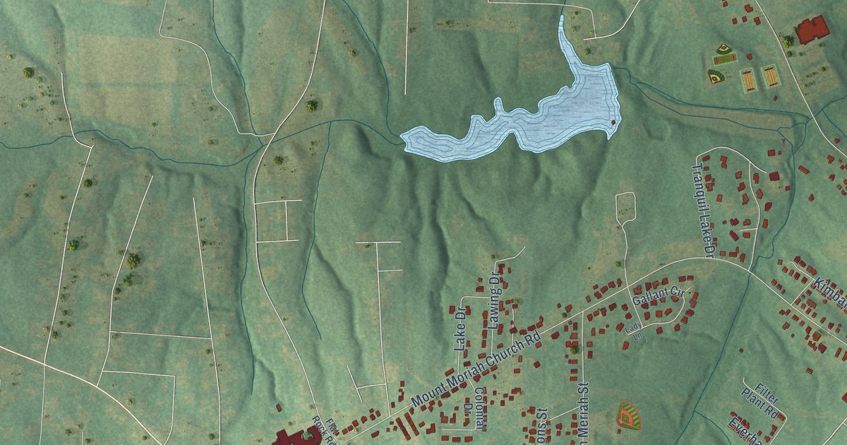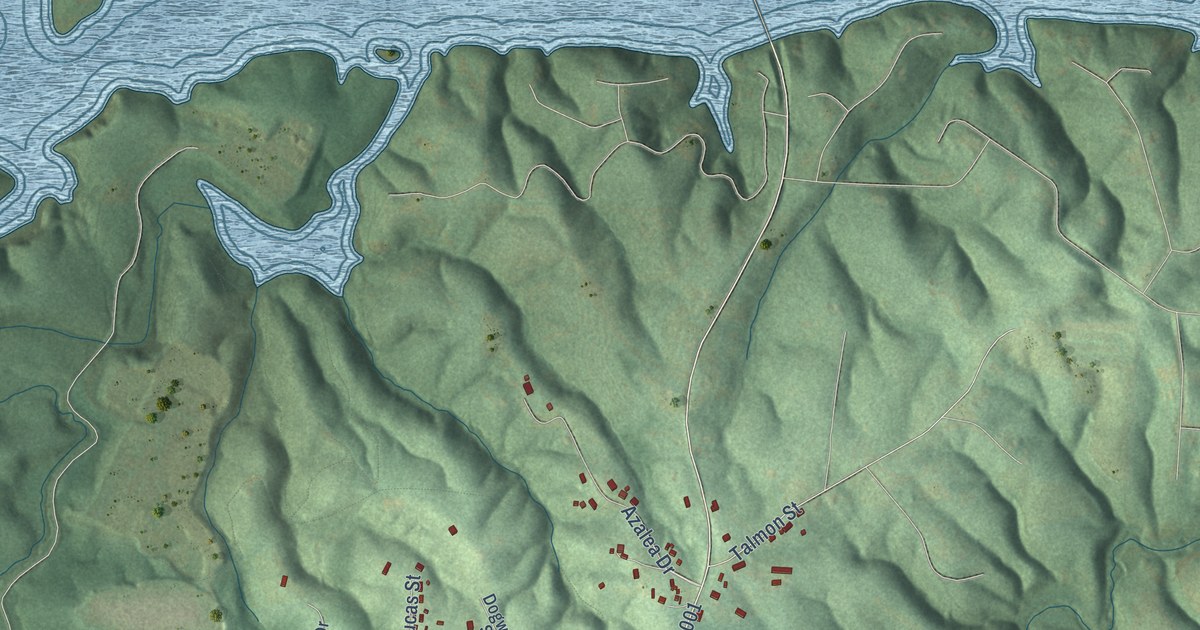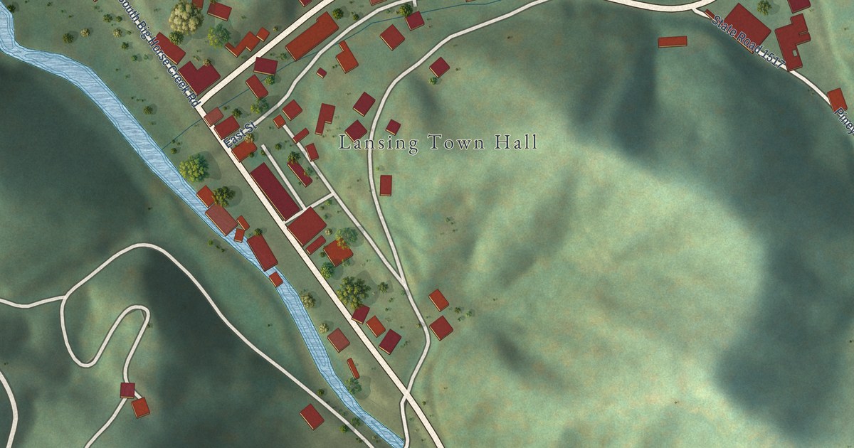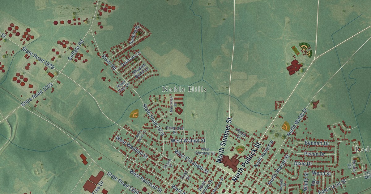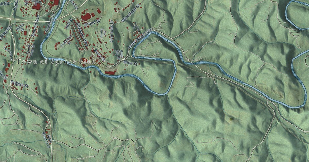
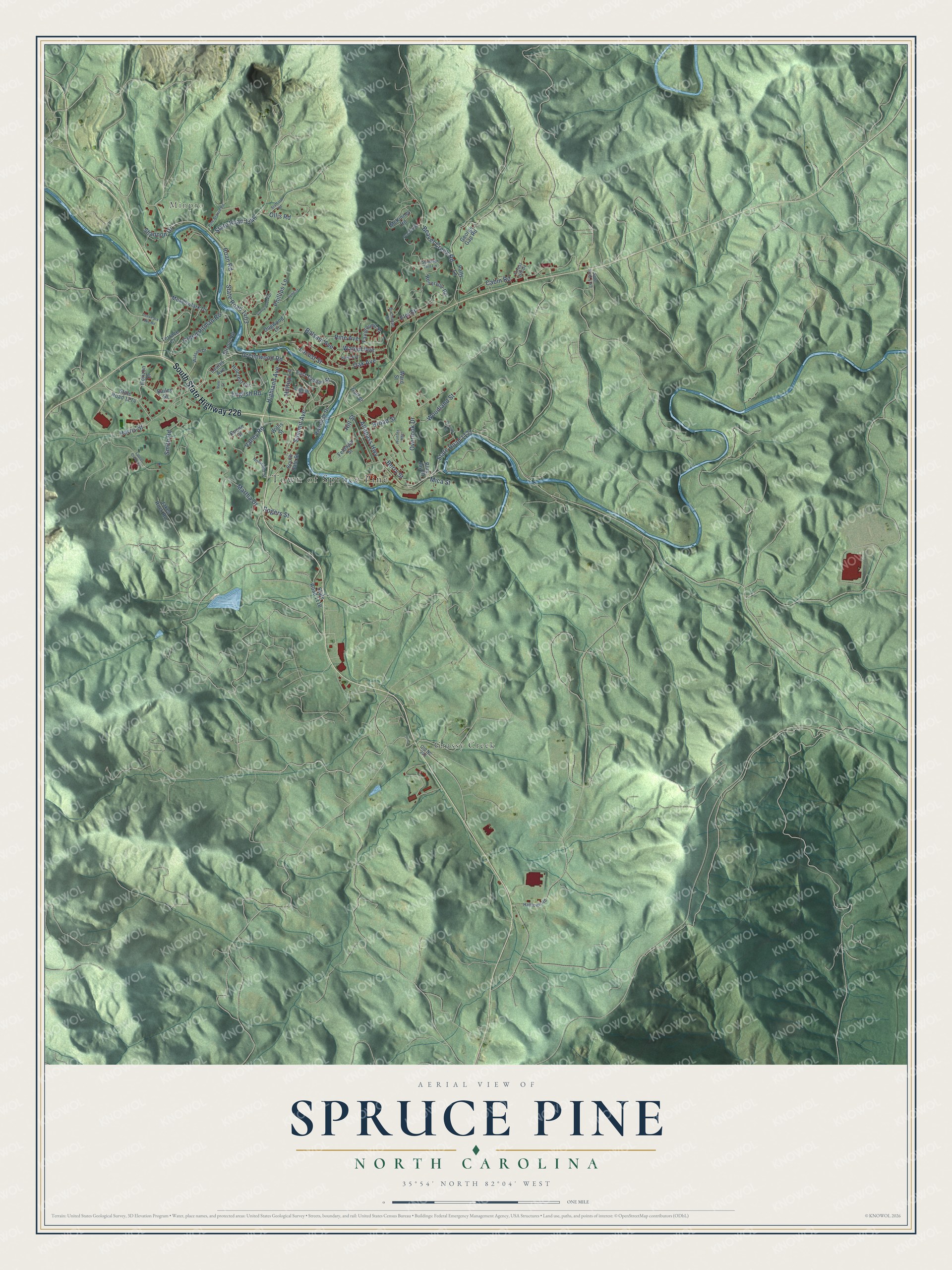
This beautifully detailed map of Spruce Pine, North Carolina was created in 2026 using aerial imagery combined with modern topographical, census, street and landmark data. It's a modern aerial view of Spruce Pine in Mitchell County, North Carolina, that combines modern data with a vintage aesthetic. The roads feature printed names, and if you look closely you can find your exact house accurately shown in its correct location.
Explore an aerial view of Spruce Pine, North Carolina
On this map you'll find Town of Spruce Pine, Minpro, Grassy Creek, South State Highway 226, Greenwood Road, Summit Avenue, Valley Road, Roan Road, Altapass Highway, State Road 1121, State Road 1403, Oak Avenue, and more. Each red shape is a building, so zoom in on the preview and look for yours.
Spruce Pine has a story worth telling. The record at dncr.nc.gov puts it this way: "Descendants of the early operations are still in business in Spruce Pine, generating mica products for the space industry and other uses."
Spruce Pine is a town in Mitchell County. The Census Bureau counted 2,194 people here in 2020.
Take a closer look at the Spruce Pine map
Names on this map
These names are printed on this map.
Places: Town of Spruce Pine, Minpro and Grassy Creek.
Streets and roads: South State Highway 226, Greenwood Road, Summit Avenue, Valley Road, Roan Road, Altapass Highway, State Road 1121, State Road 1403, Oak Avenue, Creed Pitman Road, Overlook Drive, Beaver Creek Road.
More street names, A to Z
Bailey Street, Balsam Avenue, Berry Street, Blue Jay Drive, Boone Street, Broad Street, Buchanan Street, Cabin Road, Deer Park Lake Road, Dogwood Lane, Duncan Street, East Tappan Street, Elm Street, English Road, English Street, Fairground Street, Feldspar Street, Forest Hill Drive, George Gap Road, Gulf Street, Halltown Road, Harris Street, Hazel Avenue, Highland Avenue, Hillcrest Circle, Hill Street, Hilltop Lane, Hollifield Street, Horizon Drive, Hunter Heights, Jakes Rock Road, Laurel Avenue, Laurel Creek Court, Locust Street, Lynn Street, Martha Drive, McKinney Road, Meadowlark Drive, Mica Street, Old Nc 226, Ollis Road, Patty Lane, Pendley Road, Phillips Lane, Pine Avenue, Pine Branch Road, Pine Street, Reservoir Road, Riverside Drive, Rogers Street, Shannon Drive, Smith Road, South Dale Street, Stafford Road, State Road 1118, State Road 1142, State Road 1146, State Road 1274, Stroup Road, Summer Hill Lane, Sunny Brook Drive, Terrace Court, Walnut Avenue, Ward Street, Watson Drive, Willis Street, Woodland Street.
Created by KNOWOL in 2026. The buildings are small red shapes, the roads carry their printed names, and shaded relief shows the shape of the land. The title panel reads "AERIAL VIEW OF SPRUCE PINE NORTH CAROLINA" with 35°54' NORTH 82°04' WEST.
It looks right in a kitchen, an office or a den, and it's a gift for anyone who grew up in Spruce Pine or moved away. Open the preview and find your street. See sizes and frames for the Spruce Pine map.