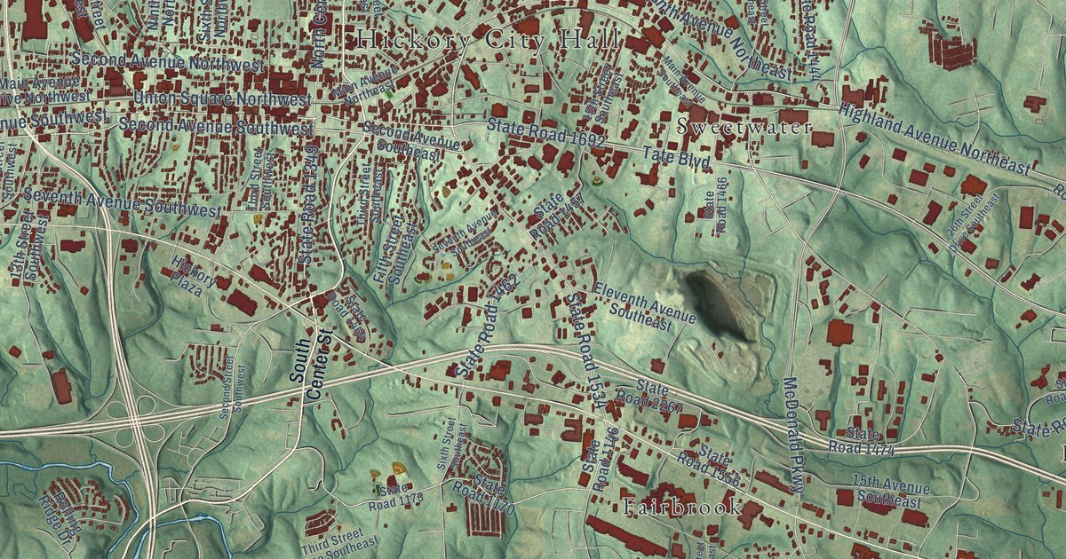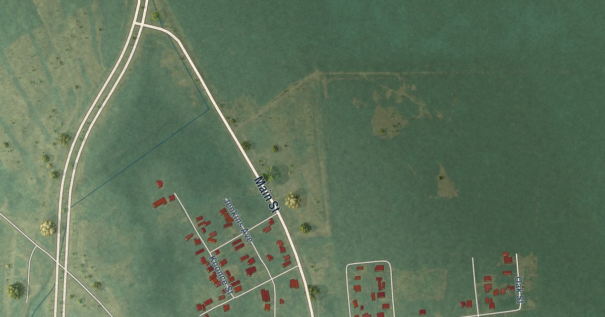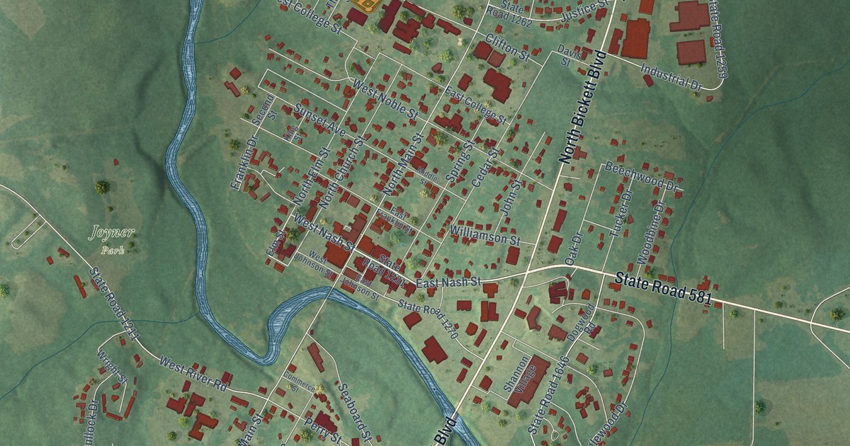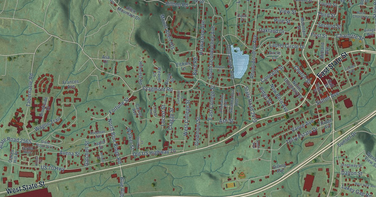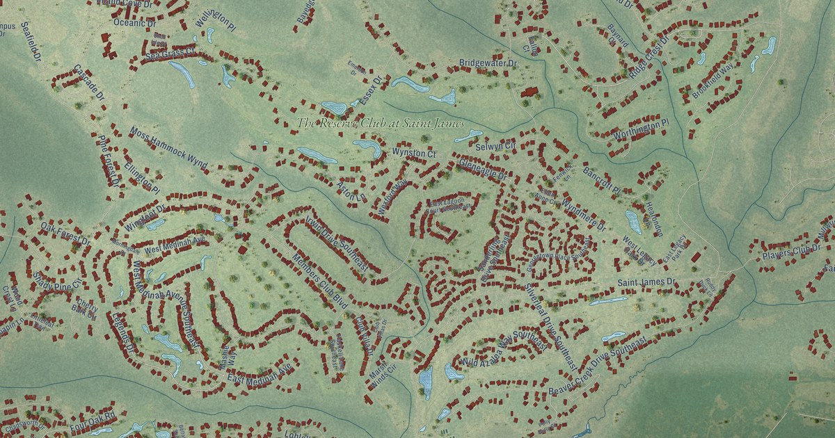
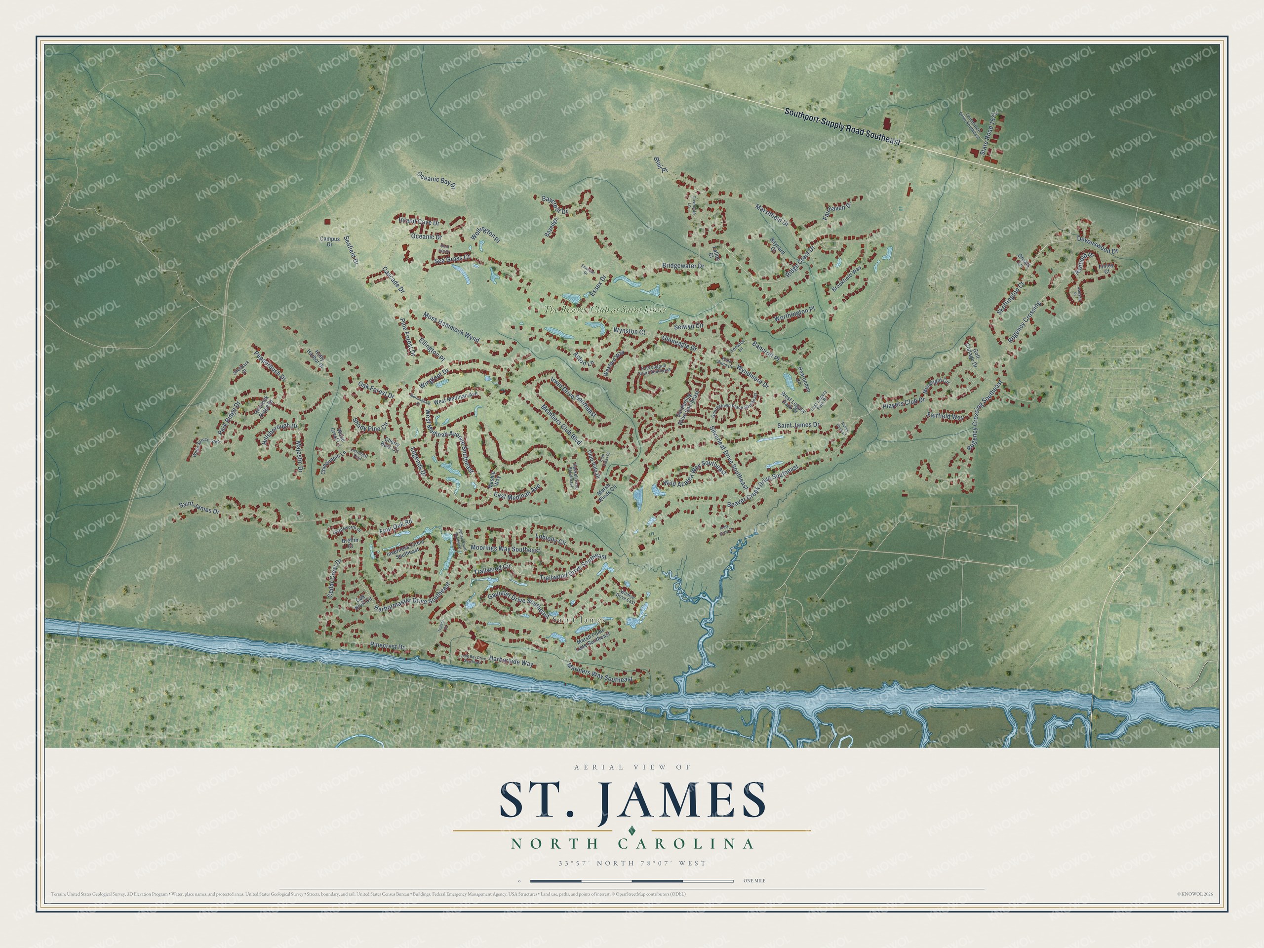
This beautifully detailed map of St. James, North Carolina was created in 2026 using aerial imagery combined with modern topographical, census, street and landmark data. It's a modern aerial view of St. James in Brunswick County, North Carolina, that combines modern data with a vintage aesthetic. The roads feature printed names, and if you look closely you can find your exact house accurately shown in its correct location.
Explore an aerial view of St. James, North Carolina
On this map you'll find Saint James, The Reserve Club at Saint James, Southport-Supply Road Southeast, Ridge Crest Drive, Skeffington Court, West Medinah Avenue Southeast, Legends Drive, Majestic Drive, Trailwood Circle, Gleneagle Drive, Harbormaster Drive Southeast, Saint James Drive, and more. Each red shape is a building, so zoom in on the preview and look for yours.
St. James is a town in Brunswick County. The Census Bureau counted 6,529 people here in 2020. The map prints the town name in its title panel, with the coordinates below it.
Take a closer look at the St. James map
Names on this map
These names are printed on this map.
Places: Saint James and The Reserve Club at Saint James.
Streets and roads: Southport-Supply Road Southeast, Ridge Crest Drive, Skeffington Court, West Medinah Avenue Southeast, Legends Drive, Majestic Drive, Trailwood Circle, Gleneagle Drive, Harbormaster Drive Southeast, Saint James Drive, Moss Hammock Wynd, Members Club Boulevard.
More street names, A to Z
Ashfield Place, Ashland Place, Aston Lane, Bancroft Place, Baycrest Drive, Bayedge, Baynard Court, Beaver Creek Drive Southeast, Belfair Court Southeast, Blair Place, Breffin Court, Bridgewater Drive, Brookfield Way, Campus Drive, Cascade Drive, Cedar Crest Drive, Chadsworth Drive, Cherry Bark Circle, Chinquapin Lane, Club Villa Drive, Club Villas Drive, Committee Drive Southeast, Covedale Lane, Devonswood Drive, Druary Lane, East Lagoon Court Southeast, East Legacy Park Drive, East Medinah Avenue, Ellen Anne Court, Ellington Place, Emerson Drive, Essex Drive, Fairfield Way, Fairhaven Drive, Fallon Court, Fenwick Lane, Finley Court, Four Oak Road, Gauntlet Drive Southeast, Georgetown Place Southeast, Golf Cottage Drive, Harborside Way, Haskell Lane Southeast, Hearondon Lane, Hemlock Ridge Drive, Hillsborough Drive, Holly Harbor Drive, Inland Cove Drive, Inverness Circle Southeast, Irwin Drive Southeast, Littleleaf Trail, Loblolly Circle, Long Bay Drive Southeast, Mariners Way Southeast, Marshfield Drive, Marsh Point Lane Southeast, Marsh Winds Circle, Mashie Way, Millwright Circle, Moorings Way Southeast, Morningdale Drive, Oak Bluff Circle, Oak Forest Drive, Oceanic Bay Drive, Oceanic Drive, Park Ridge Drive, Pepperbush Drive, Pinecrest Drive, Pine Forest Drive, Players Club Drive, Polly Gully Court, Regency Crossing, Regency Crossing Southeast, Ruddy Duck Lane, Sanderling Drive Southeast, Seafield Drive, Sea Grass Court, Selwyn Circle, Shady Pine Circle, Shellbark Court, Shell Isle Drive, Silverleaf Drive Southeast, State Road 1571, Trailwood Drive Southeast, Trident Court, Wellington Place, West Legacy Park Drive, West Medinah Avenue, Wexford Way, White Spruce Glen, Wild Azalea Way Southeast, Wildrye Drive East, Wingfoot Drive, Wood Crest Lane, Worthington Place, Wyndmere Drive, Wynston Court.
Created by KNOWOL in 2026. The buildings are small red shapes, the roads carry their printed names, and shaded relief shows the shape of the land. The title panel reads "AERIAL VIEW OF ST. JAMES NORTH CAROLINA" with 33°57' NORTH 78°07' WEST.
It suits a den, a classroom or a front hall, and it makes a gift for anyone with St. James roots. Open the preview and find the block you know. See sizes and frames for the St. James map.