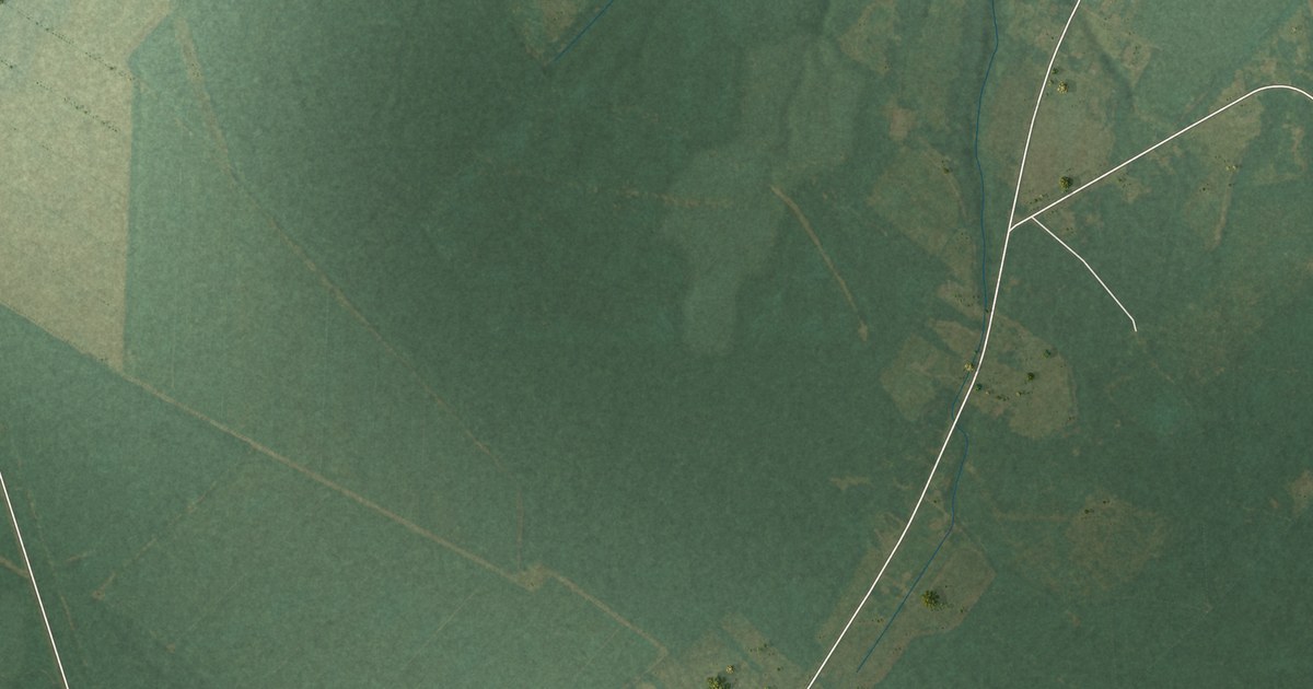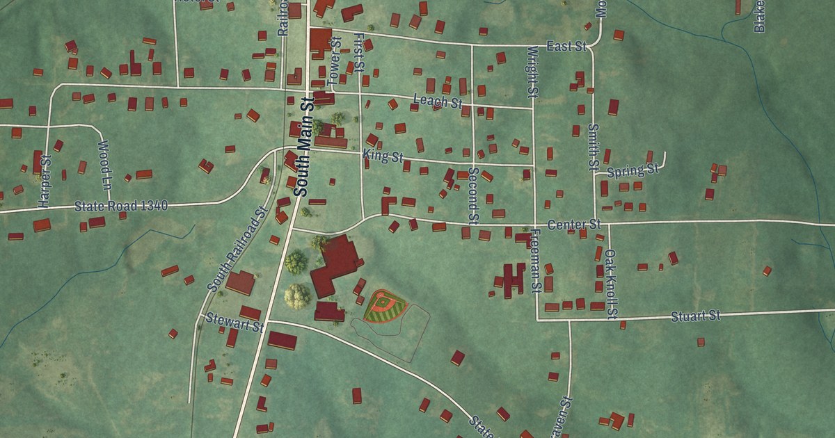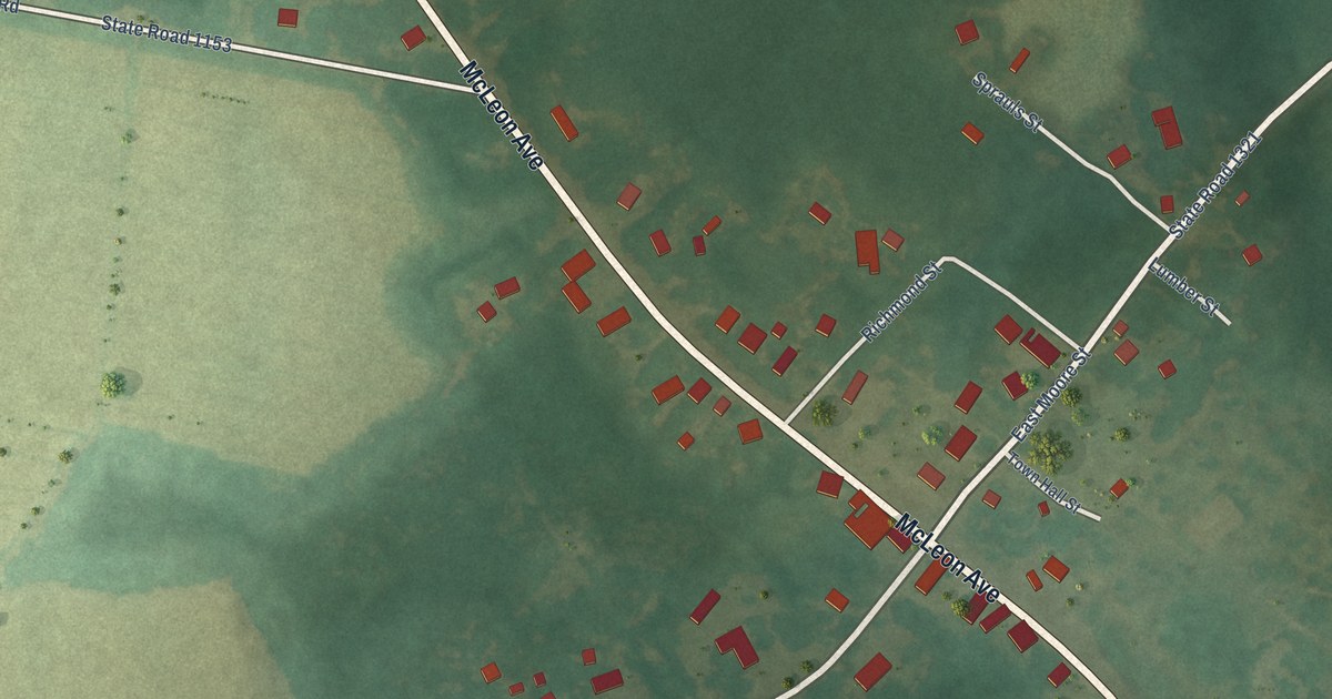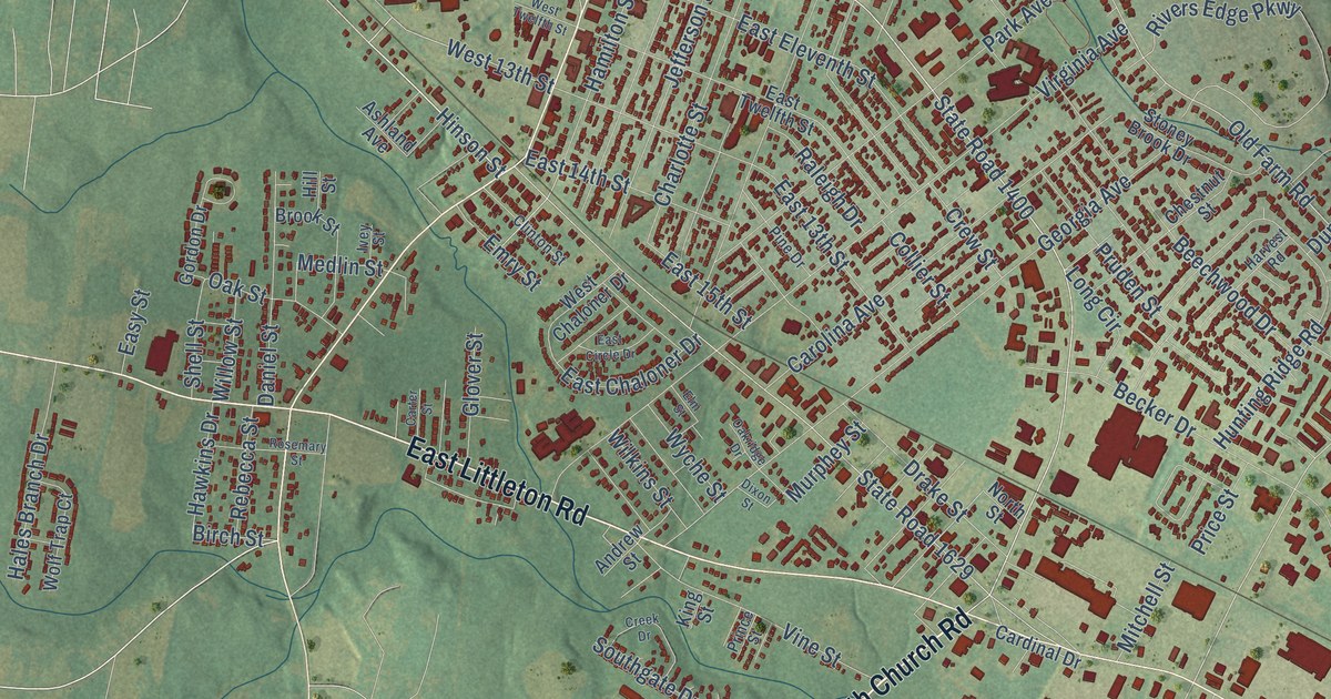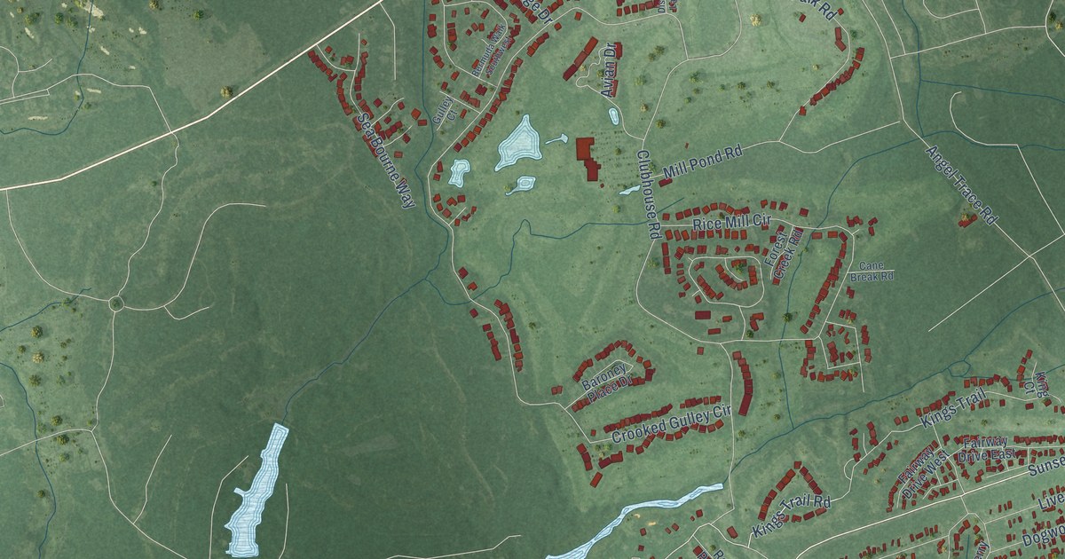
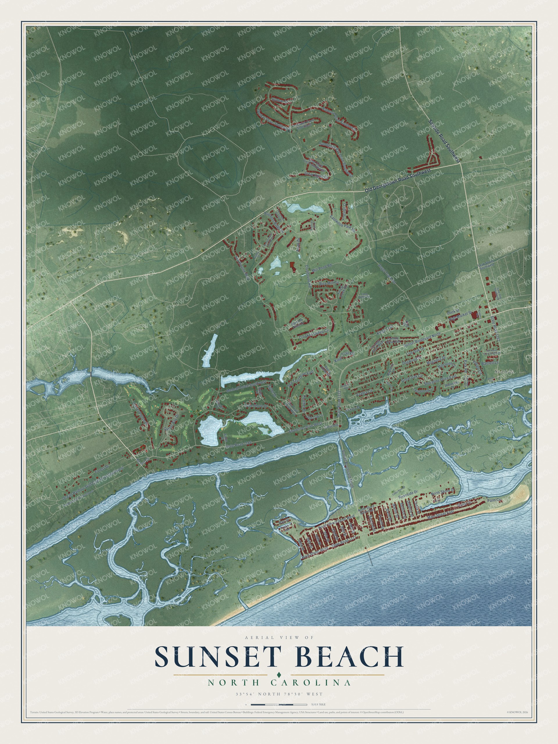
This beautifully detailed map of Sunset Beach, North Carolina was created in 2026 using aerial imagery combined with modern topographical, census, street and landmark data. It's a modern aerial view of Sunset Beach in Brunswick County, North Carolina, that combines modern data with a vintage aesthetic. The roads feature printed names, and if you look closely you can find your exact house accurately shown in its correct location.
Explore an aerial view of Sunset Beach, North Carolina
On this map you'll find Seaside, Old Georgetown Road Southwest, Seaside Road Southwest, State Road 1172, State Road 1162, Egret Drive, Clubhouse Road, Main Street East, Sunset Boulevard North, Sunset Boulevard South, High Market Street, Kings Trail Road, and more. Each red shape is a building, so zoom in on the preview and look for yours.
Sunset Beach has a story worth telling. The Brunswick County Tourism puts it this way: "From 1958-2011, the iconic Sunset Beach Swing Bridge linked the island and the mainland. Now the swing bridge and tender house serve as a museum and gathering place for the community. It's run by the Old Bridge Historical Society, whose aim is to connect the history and the future of the area through education and preservation."
Sunset Beach is a town in Brunswick County. The Census Bureau counted 4,175 people here in 2020.
Take a closer look at the Sunset Beach map
Names on this map
These names are printed on this map.
Places: Seaside.
Streets and roads: Old Georgetown Road Southwest, Seaside Road Southwest, State Road 1172, State Road 1162, Egret Drive, Clubhouse Road, Main Street East, Sunset Boulevard North, Sunset Boulevard South, High Market Street, Kings Trail Road, Magnolia Drive.
More street names, A to Z
17th Street, 28th Street, 30th Street, 32nd Street, 34th Street, 36th Street, 38th Street, 40th Street, Angel Trace Road, Avian Drive, Azalea Circle, Balmore Drive Southwest, Baroney Place Drive, Bartlett Lane, Bayberry Lane, Bay Street, Bermuda Walk Southwest, Blane Court, Canal Avenue, Canal Drive, Cane Break Road, Cedar Point Drive, Clippers Way, Cobia Street, Crooked Gulley Circle, Discovery Lake Drive, Dock Street, Dogwood Drive, Dolphin Street, Dunbar Drive, Dunbar Drive Southwest, Eastwood Park Road, Fairway Drive East, Fairway Drive West, Forest Creek Road, Forest Drive, Forest Walk Southwest, Fourth Street, Gate One Southwest, Great Egret Circle, Great Egret Circle Southwest, Great Oak Circle, Gulley Court, Heather Drive, Hickory Street, Indigo Circle, Inlet Avenue, King Court, Kingsmill Court, Kings Trail, Lake Shore Drive, Leak Street Southwest, Live Oak Drive, Main Street West, Marlin Street, Medcalf Drive Southwest, Mill Pond Road, Millslough Lane, North Shore Drive, North Shore Drive East, North Shore Drive West, Ocean Harbour Golf Club Drive Southwest, Olde Oak Lane, Oprey Court, Oyster Bay Drive, Oyster Pointe Drive, Palm Cv, Park Road, Park Road South West, Peakwood Drive Southwest, Pecan Avenue, Planters Ridge Drive, Prestwick Court Southwest, Resort Circle, Rice Mill Circle, Riverside Drive, Royal Poste Road, Sailfish Street, Salt Marsh Street Southwest, Sandpiper Bay Drive Southwest, Sea Bourne Way, Sea Trail Drive East, Sea Trail Drive West, Second Street, Shoreline Drive East, Shoreline Drive West, Sixth Street, State Road 1177, State Road 1186, Station Trail, Stokes Drive, Twisted Oak Lane, Waterway Drive, Woods Court.
Created by KNOWOL in 2026. The buildings are small red shapes, the roads carry their printed names, and shaded relief shows the shape of the land. The title panel reads "AERIAL VIEW OF SUNSET BEACH NORTH CAROLINA" with 33°54' NORTH 78°30' WEST.
It looks right in a kitchen, an office or a den, and it's a gift for anyone who grew up in Sunset Beach or moved away. Open the preview and find your street. See sizes and frames for the Sunset Beach map.