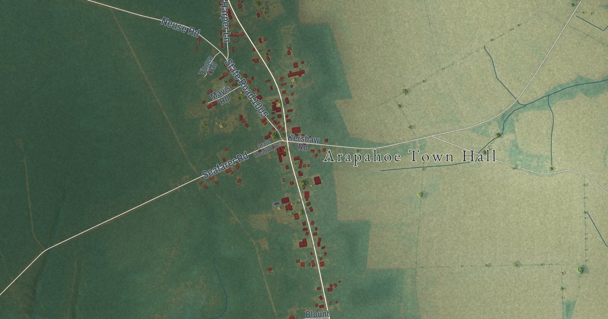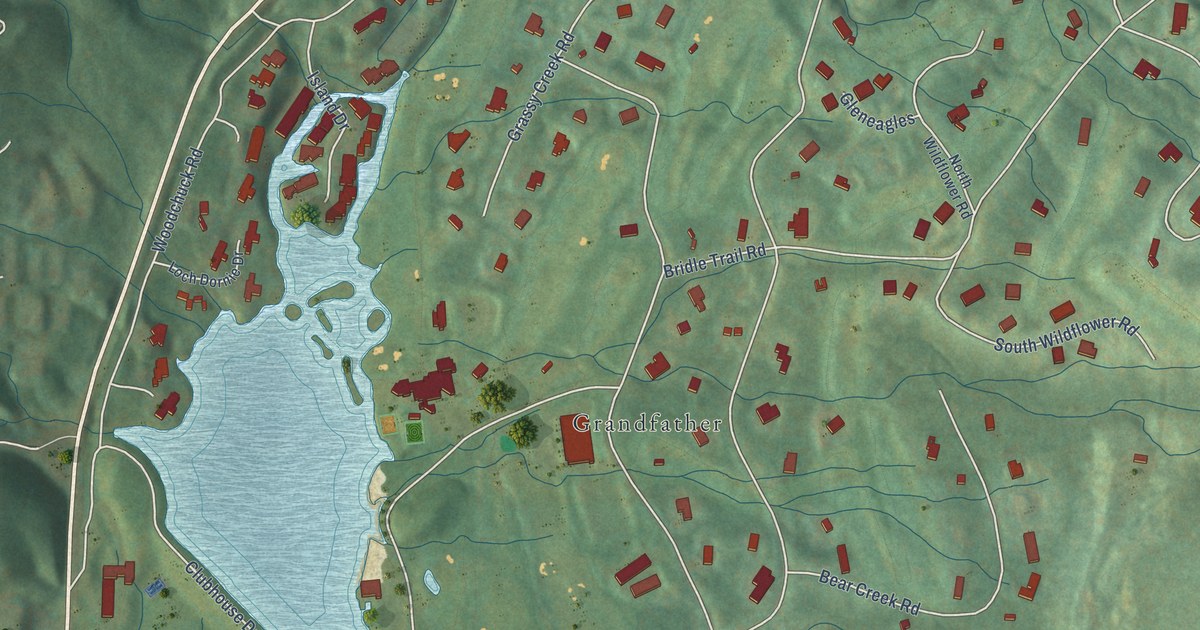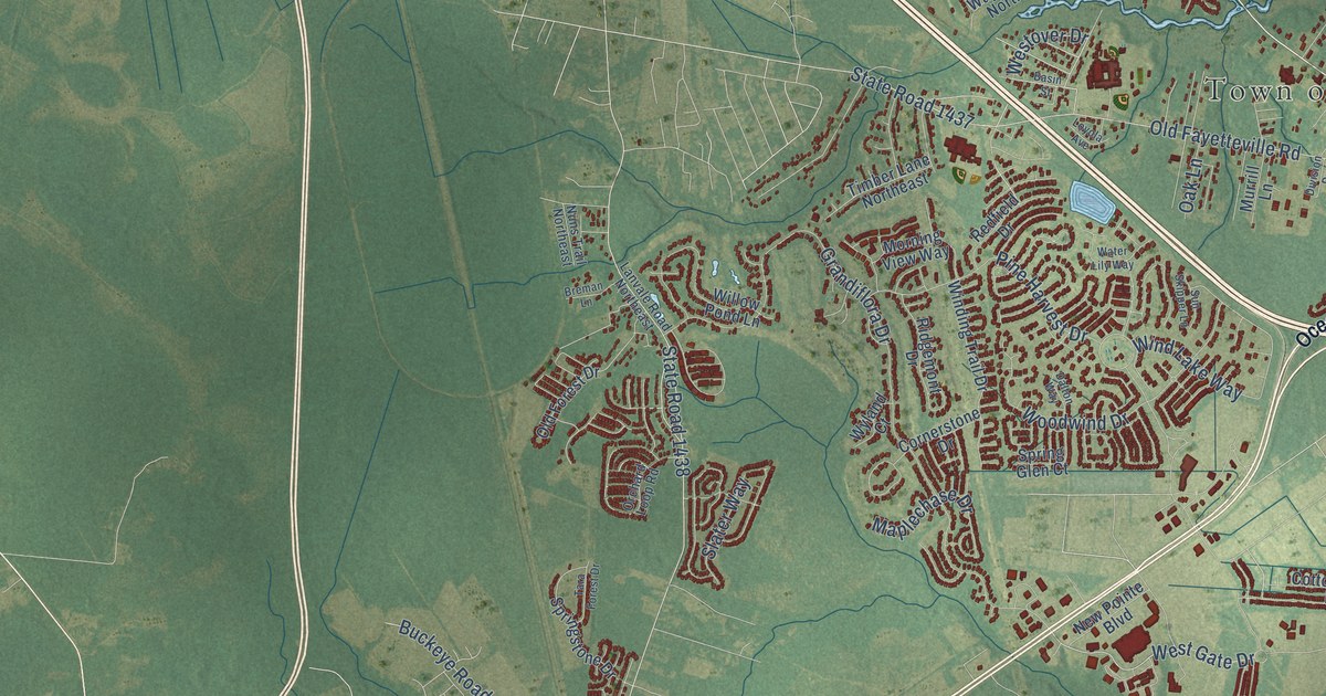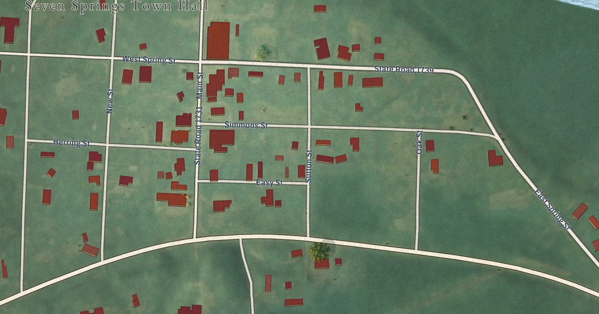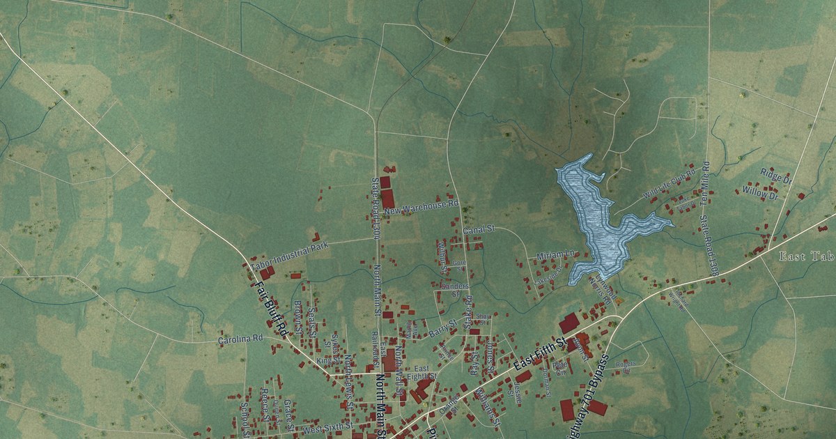
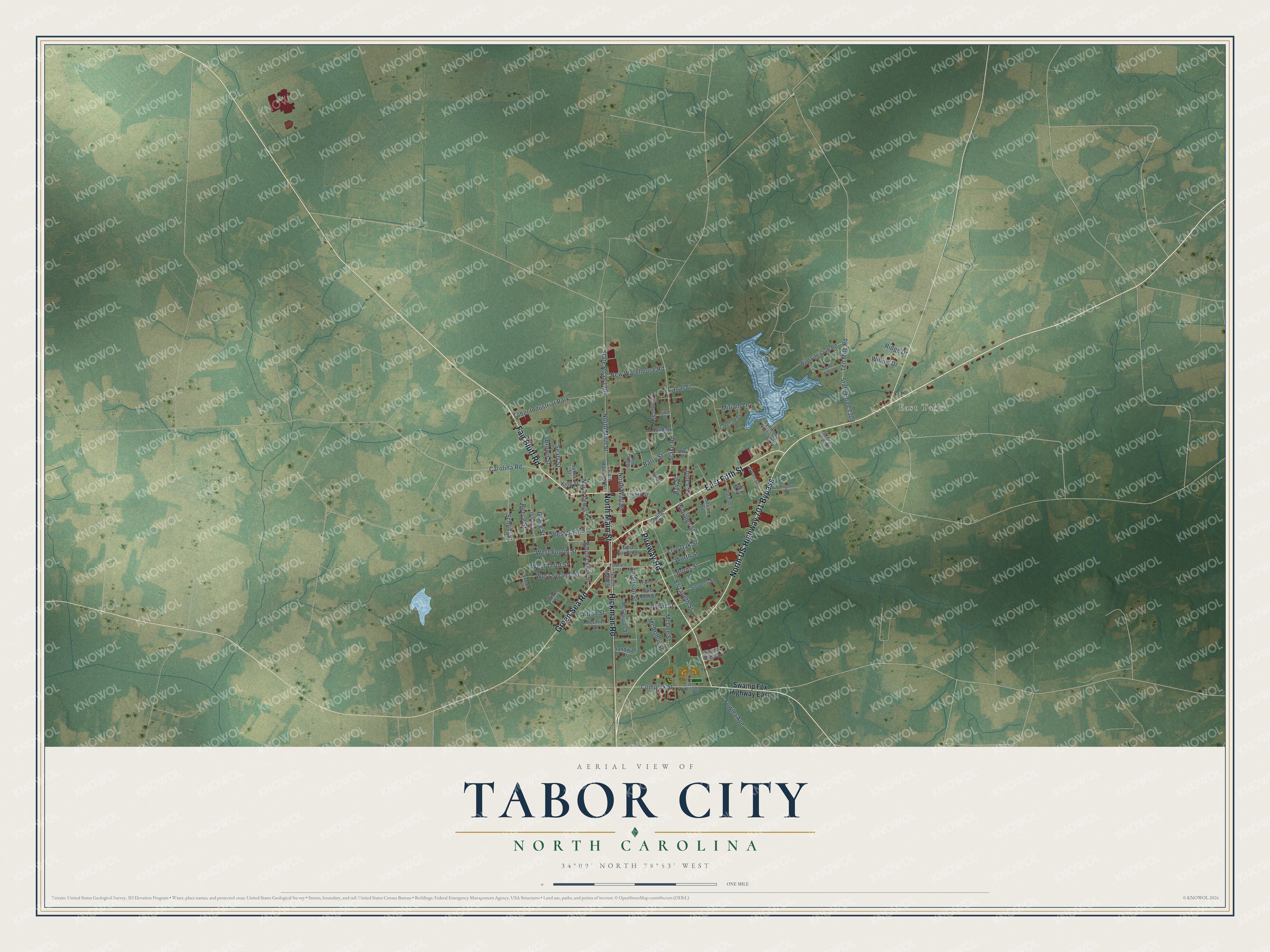
This beautifully detailed map of Tabor City, North Carolina was created in 2026 using aerial imagery combined with modern topographical, census, street and landmark data. It's a modern aerial view of Tabor City in Columbus County, North Carolina, that combines modern data with a vintage aesthetic. The roads feature printed names, and if you look closely you can find your exact house accurately shown in its correct location.
Explore an aerial view of Tabor City, North Carolina
On this map you'll find East Tabor, East Fifth Street, North Main Street, Fair Bluff Road, Pireway Road, Green Sea Road, North US Highway 701 Bypass, Hickman Road, Stake Road, Carolina Road, South Lewis Street, West Sixth Street, and more. Each red shape is a building, so zoom in on the preview and look for yours.
Here is a piece of Tabor City history, in the words of the record. The North Carolina Gazetteer puts it this way: "Tabor City town in SW Columbus County. Settled 1886. Inc. 1905 as Tabor; name changed to Tabor City, 1935. Named for Mt. Tabor Presbyterian Church."
Tabor City is a town in Columbus County. The Census Bureau counted 3,781 people here in 2020.
Take a closer look at the Tabor City map
Names on this map
These names are printed on this map.
Places: East Tabor and Tabor Industrial Park.
Streets and roads: East Fifth Street, North Main Street, Fair Bluff Road, Pireway Road, Green Sea Road, North US Highway 701 Bypass, Hickman Road, Stake Road, Carolina Road, South Lewis Street, West Sixth Street, Elizabeth Street.
More street names, A to Z
Alton Street, Anderson Street, Avon Street, Barry Street, Brown Street, Burns Street, Canal Street, Complex Street, Dorman Street, East Bell Street, East Eighth Street, East Fourth Street, East Railroad Street, Floyd Street, Forest Glen Drive, Fowler Avenue, Fowler Street, Garrell Street, Gore Street, Grace Street, Jarvis Street, Jessie Street, Jones Street, King Street, Lakeside Drive, Lake Tabor Drive, Live Oak Street, Lynwood Norris Road, March Avenue, McArthur Street, McDee Street, McGougan Street, Miriam Lane, Nesmith Street, New Warehouse Road, North Lewis Street, North Wall Street, Orange Street, Pete Circle, Pine Street, Prince Street, Queen Street, Ray Street, Reece Street, Richard Wright Road, Ridge Drive, Rogers Circle, Sanders Street, Sandwall Drive, School Street, Seals Street, Shay Street, South Main Street, State Road 1304, State Road 1305, State Road 1308, Stevens Street, Swamp Fox Highway East, Sykes Street, Ten Mile Road, West Fourth Street, West Second Street, West Third Street, Wilbur Street, Wild Life Club Road, Williams Street, Willow Drive, Worth Street.
Created by KNOWOL in 2026. The buildings are small red shapes, the roads carry their printed names, and shaded relief shows the shape of the land. The title panel reads "AERIAL VIEW OF TABOR CITY NORTH CAROLINA" with 34°09' NORTH 78°53' WEST.
It suits a den, a classroom or a front hall, and it makes a gift for anyone with Tabor City roots. Open the preview and find the block you know. See sizes and frames for the Tabor City map.