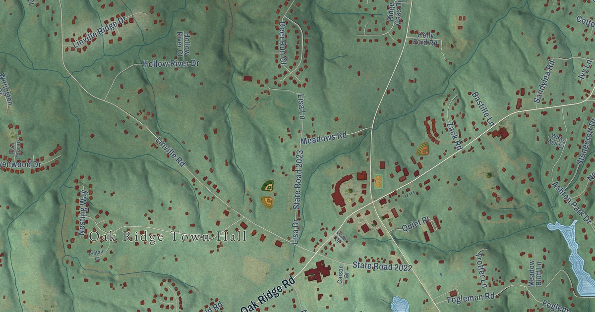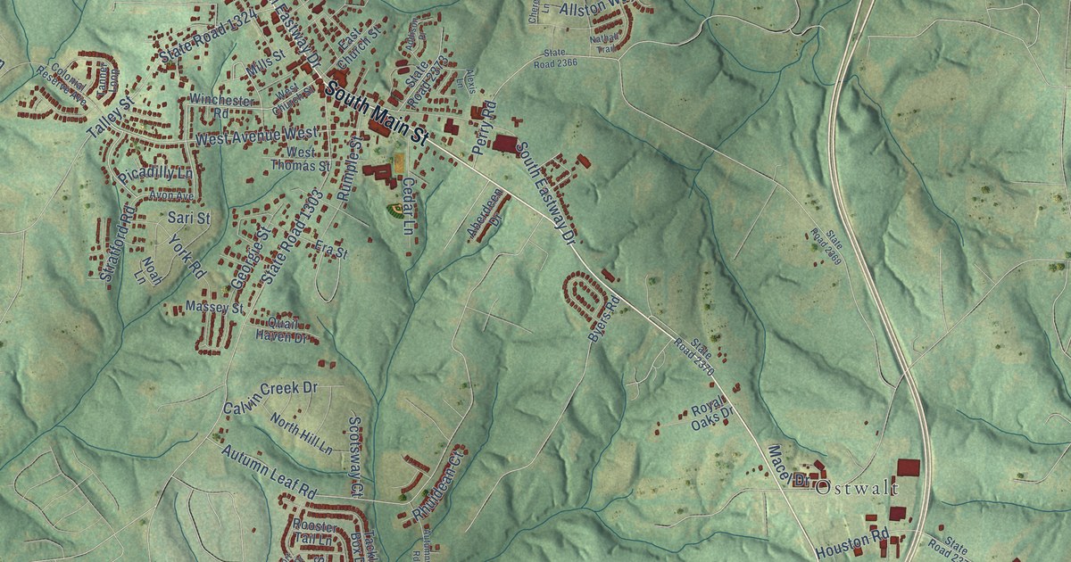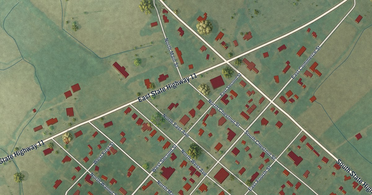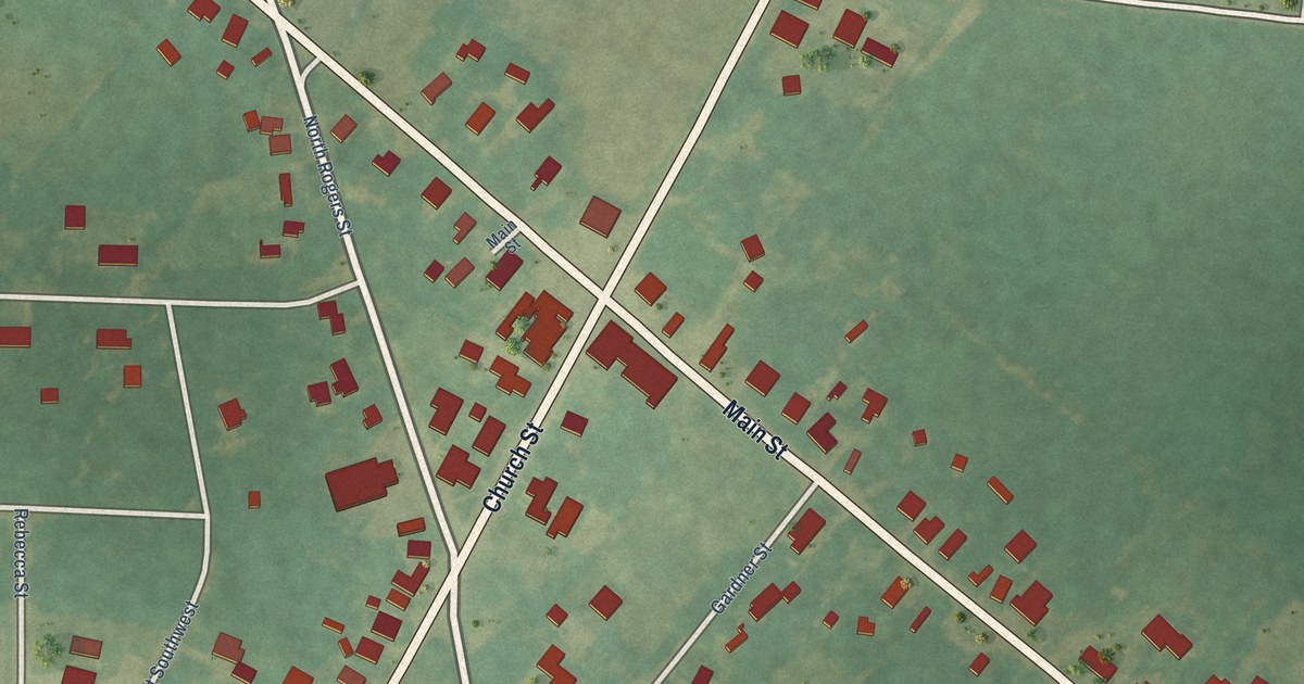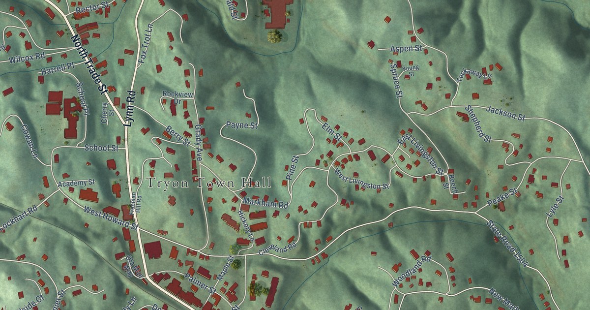
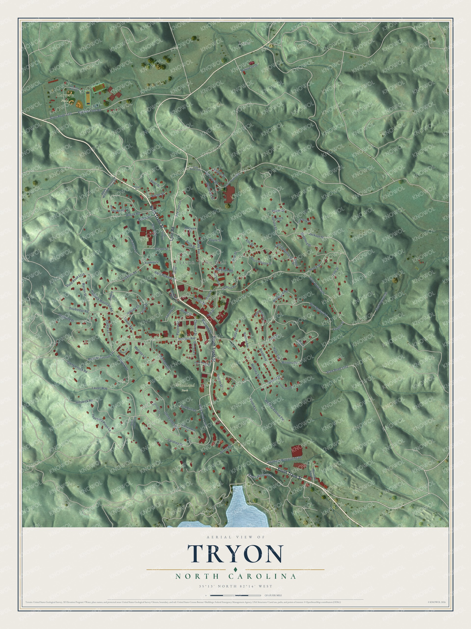
This beautifully detailed map of Tryon, North Carolina was created in 2026 using aerial imagery combined with modern topographical, census, street and landmark data. It's a modern aerial view of Tryon in Polk County, North Carolina, that combines modern data with a vintage aesthetic. The roads feature printed names, and if you look closely you can find your exact house accurately shown in its correct location.
Explore an aerial view of Tryon, North Carolina
On this map you'll find Tryon Town Hall, Harmon Field, Woodland Park, Lynn, South Trade Street, North Trade Street, Lynn Road, East Lakeshore Drive, Lockhart Road, Forest Lane, West Howard Street, Winners Circle, and more. Each red shape is a building, so zoom in on the preview and look for yours.
Tryon is a town in Polk County. The Census Bureau counted 1,562 people here in 2020. The map prints the town name in its title panel, with the coordinates below it.
Take a closer look at the Tryon map
Names on this map
These names are printed on this map.
Places: Tryon Town Hall, Harmon Field, Woodland Park and Lynn.
Streets and roads: South Trade Street, North Trade Street, Lynn Road, East Lakeshore Drive, Lockhart Road, Forest Lane, West Howard Street, Winners Circle, Broadway, East Howard Street, State Road 1504, New Market Road.
More street names, A to Z
Academy Street, Adam Millis Road, Aspen Street, Beaver Street, Beech Street, Berry Street, Bickford Avenue, Braewick Est, Braewick Road, Broadway Extended, Canady Lane, Carolina Drive, Carson Street, Cherry Street, Chestnut Street, Cleveland Road, Cowan Lane, Depot Street, Dogwood Drive, Doubleday Road, East Livingston Street, Elm Street, Embury Street, First Street, Fox Trot Lane, Freeman Hill Road, Galax Circle, Glengarnock Road, Glenwalden Circle, Glenwalden Lane, Grady Avenue, Greenstoke Loop, Harmon Field Road, Harmony Field Drive, Harrell Place, Hickory Lane, Hidden Hill Road, Hideaway Court, Hillside Court, Hillswick Road, Hogback Mountain Road, Horseshoe Curve Road, Hyde Avenue, Jackson Street, Jervey Road, Lanier Street, Laurel Avenue, Laurel Drive, Laurel Way, Lyle Street, Lyncourt Drive, Maple Street, Marion Street, Markham Road, McCown Stt, McDonald Street, Melrose Avenue, Melrose Avenue Extension, Melrose Circle, Melrose Lane, Metcalf Street, Mimosa Inn Drive, Mountain View Lane, Oak Street, Ola Mae Way, Pacolet Street, Paddock Lane, Palmer Street, Payne Street, Peake Street, Pine Crest Lane, Pine Street, Pookie Lane, Rector Street, Red Bird Road, Rockview Drive, School Place, School Street, Screvens Road, Second Street, Shepherd Street, Southern Mercerizing Road, Spruce Street, State Road 1115, State Road 1116, State Road 1118, State Road 1121, State Road 1502, State Road 1505, State Road 1506, Thousand Pines Lane, Tuckaway Lane, Vaughn Street, Vista Drive, West Livingston Street, Whitney Avenue, Whitney Avenue Extension, Wilcox Road, Woodland Road, Young Street.
Created by KNOWOL in 2026. The buildings are small red shapes, the roads carry their printed names, and shaded relief shows the shape of the land. The title panel reads "AERIAL VIEW OF TRYON NORTH CAROLINA" with 35°13' NORTH 82°14' WEST.
It looks right in a kitchen, an office or a den, and it's a gift for anyone who grew up in Tryon or moved away. Open the preview and find your street. See sizes and frames for the Tryon map.