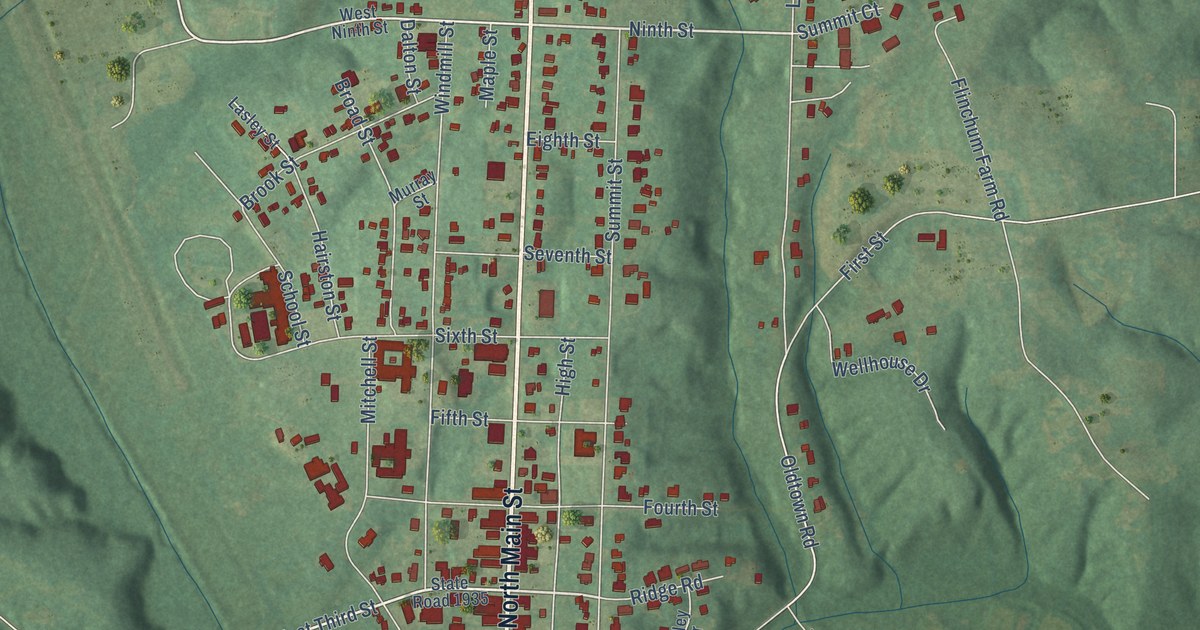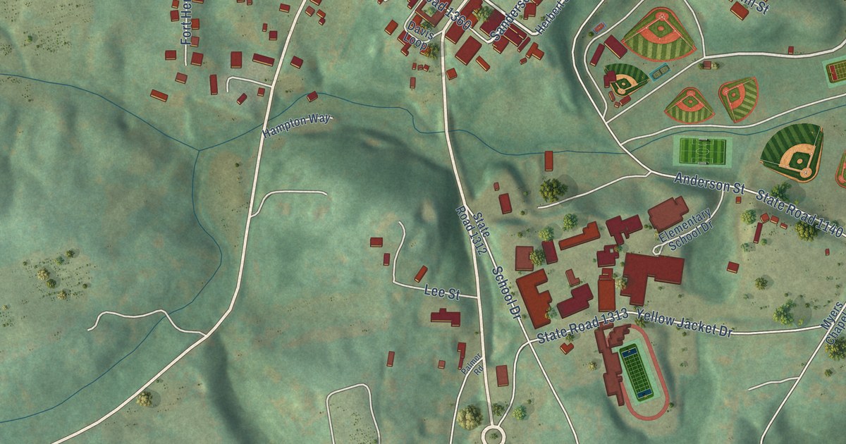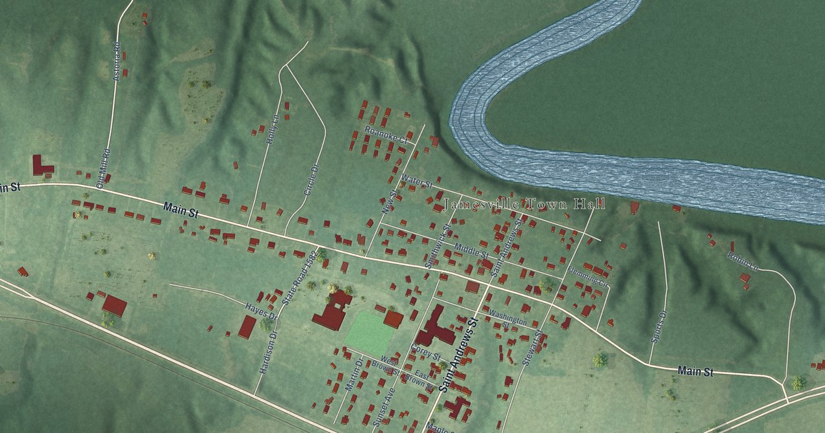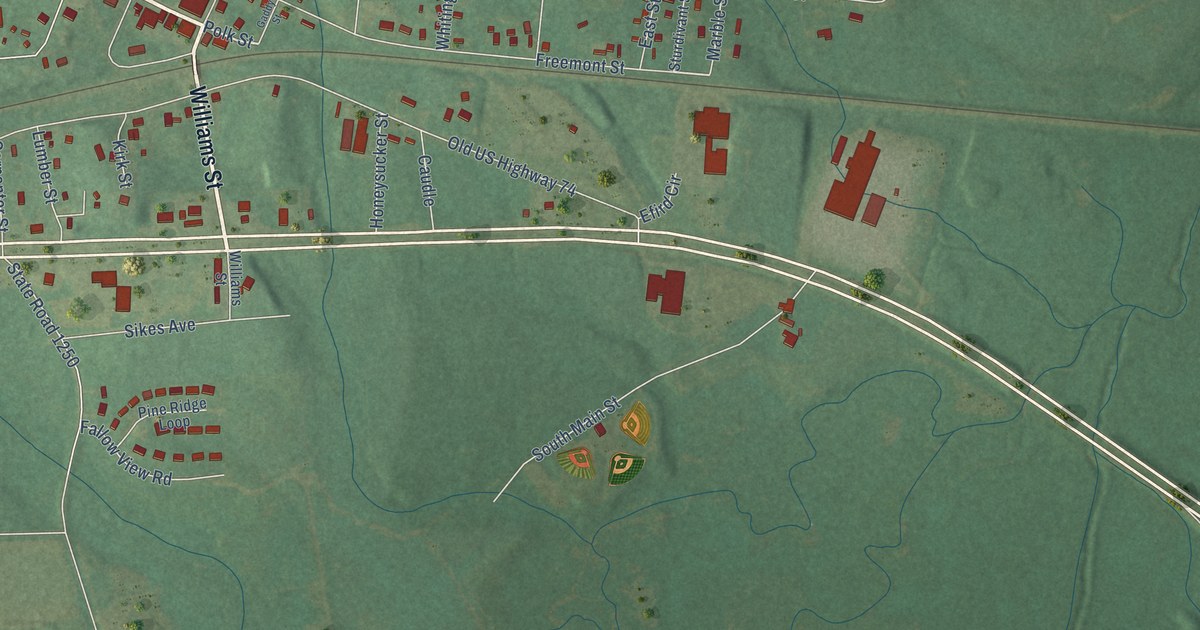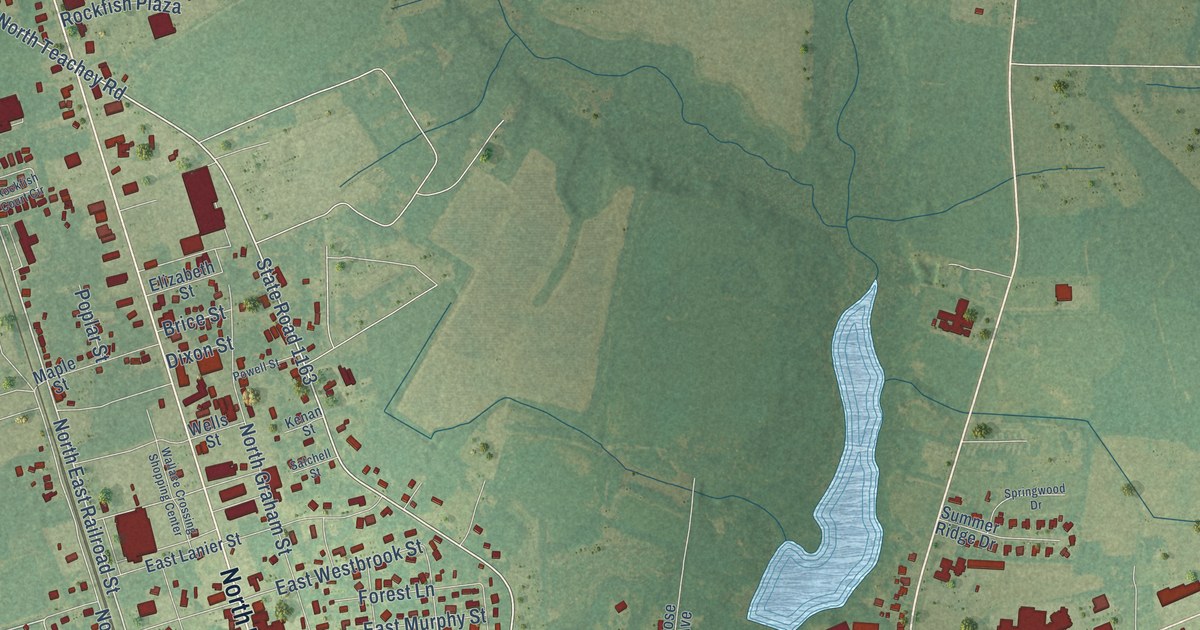
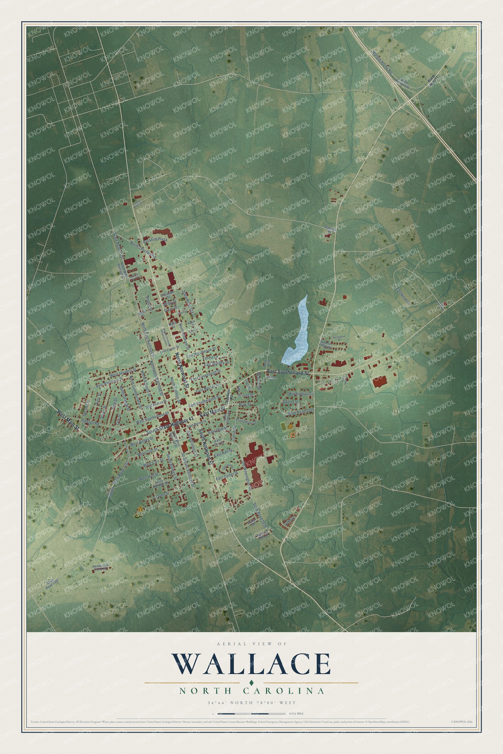
This beautifully detailed map of Wallace, North Carolina was created in 2026 using aerial imagery combined with modern topographical, census, street and landmark data. It's a modern aerial view of Wallace in Duplin County, North Carolina, that combines modern data with a vintage aesthetic. The roads feature printed names, and if you look closely you can find your exact house accurately shown in its correct location.
Explore an aerial view of Wallace, North Carolina
On this map you'll find Tin City, East Main Street, North Norwood Street, South State Highway 41, West Main Street, South Norwood Street, East Southerland Street, North Teachey Road, State Road 1163, West Southerland Street, Poplar Street, North East Railroad Street, and more. Each red shape is a building, so zoom in on the preview and look for yours.
Here is a piece of Wallace history, in the words of the record. The North Carolina Gazetteer puts it this way: "Wallace town in S Duplin County. Post office est. 1866. Alt. 51. Inc. 1873 as Duplin Roads. Name changed to Wallace in honor of Stephen D. Wallace, vice president of the Atlantic Coast Line Railroad, prior to 1899, in which year the town was reincorporated."
Wallace is a town in Duplin County. The Census Bureau counted 3,413 people here in 2020.
Take a closer look at the Wallace map
Names on this map
These names are printed on this map.
Places: Tin City.
Streets and roads: East Main Street, North Norwood Street, South State Highway 41, West Main Street, South Norwood Street, East Southerland Street, North Teachey Road, State Road 1163, West Southerland Street, Poplar Street, North East Railroad Street, Southeast Railroad Street.
More street names, A to Z
Adams Street, Boney Bridge Road, Bray Street, Brice Street, Butler Street, Circle Drive, Craven Street, Currie Street, Dixon Street, Duke Street, East Boney Street, East Carr Street, East Carter Street, East Cavenaugh Street, East Cliff Street, East Hall Street, East Lanier Street, East Murphy Street, East Murray Street, East Westbrook Street, Eastwood Drive, Elizabeth Street, Elm Street, Ethel Boney Lane, First Street, Forest Lane, Glendale Drive, Henderson Field Road, Ivey Street, Kenan Street, Mangle Horne Road, Maple Street, North College Street, North Cumberland Street, North Graham Street, North Orange Street, North Raleigh Street, Northwest Railroad Street, North West Railroad Street, Oak Street, Old Wilmington Road, Pearsail Street, Pine Street, Powell Street, Prosperity Drive, Raleigh Road, Rockfish Court Circle, Rockfish Plaza, Rose Avenue, Satchell Street, Second Street, Sloan Street, South College Street, South Raleigh Street, South Rockfish Street, South Teachey Road, South West Railroad Street, Springwood Drive, Stallings Road, State Road 11, State Road 1165, State Road 1172, State Road 1188, State Road 1307, State Road 1937, State Road 1939, State Road 2005, State Road 2010, Summer Ridge Drive, Teacheys Road, Wallace Crossing Shopping Center, Wallace Mhp Lane, Washington Circle, Wells Street, West Boney Street, West Carr Street, West Clement Street, West Cliff Street, West Hall Street, West Murray Street, West Stevens Street, West Westbrook Street, Williams Street.
Created by KNOWOL in 2026. The buildings are small red shapes, the roads carry their printed names, and shaded relief shows the shape of the land. The title panel reads "AERIAL VIEW OF WALLACE NORTH CAROLINA" with 34°44' NORTH 78°00' WEST.
It suits a den, a classroom or a front hall, and it makes a gift for anyone with Wallace roots. Open the preview and find the block you know. See sizes and frames for the Wallace map.