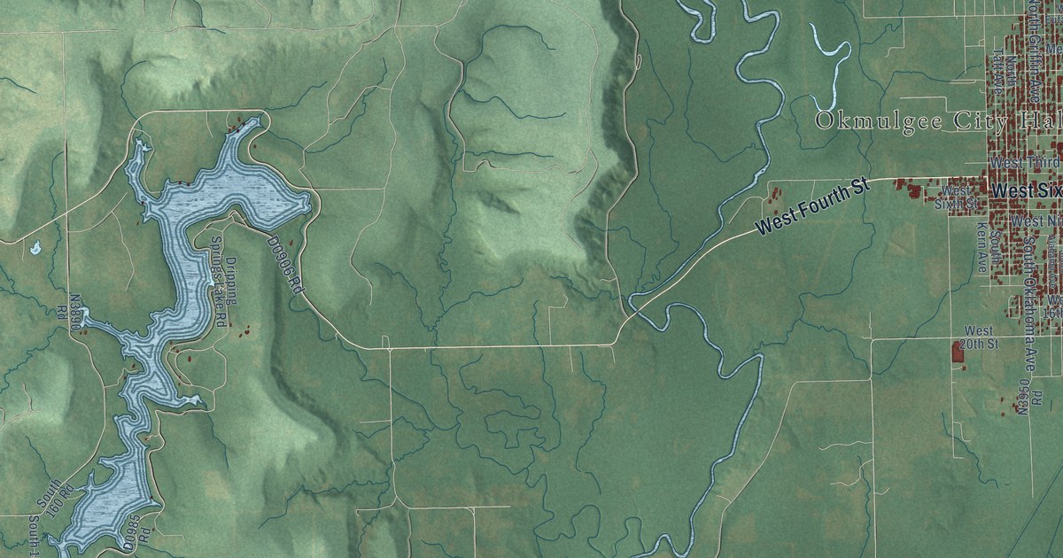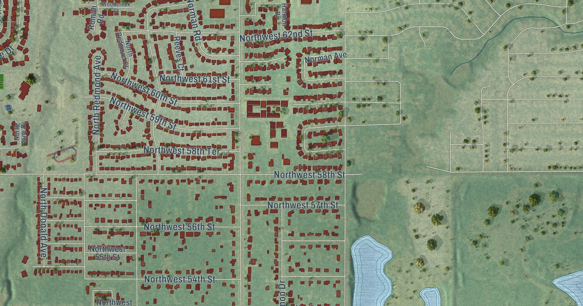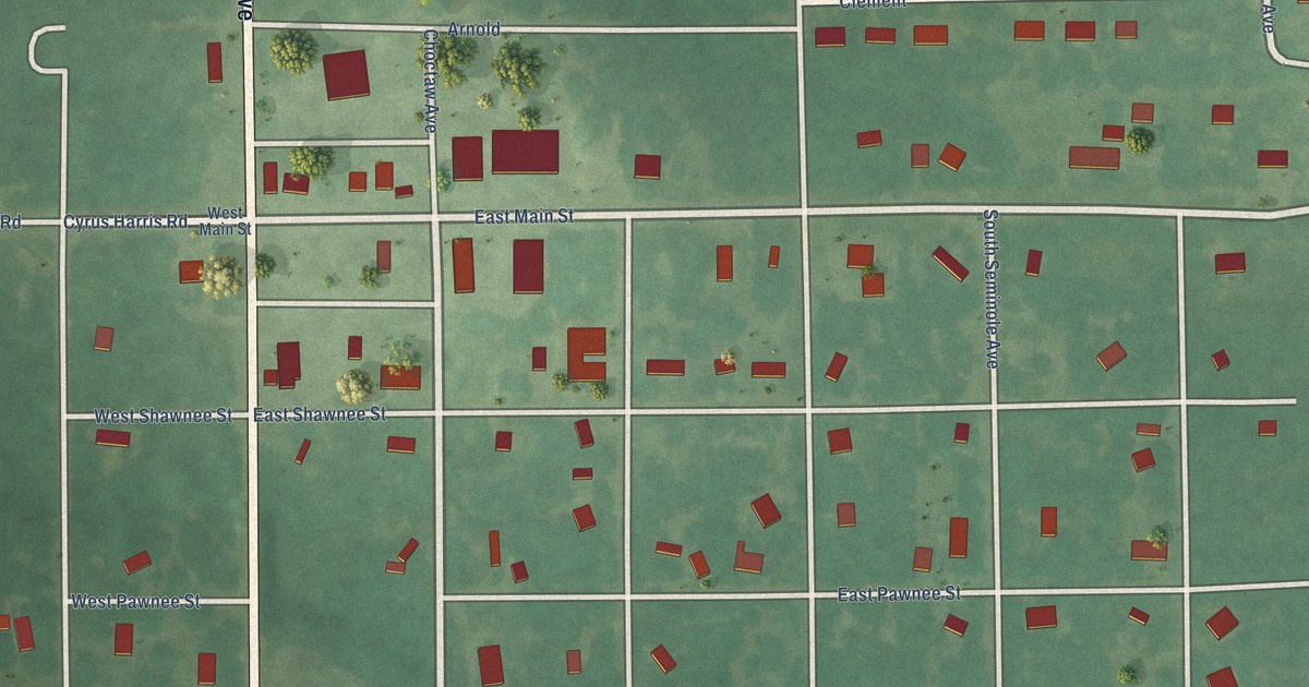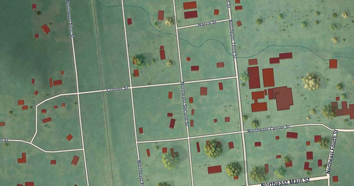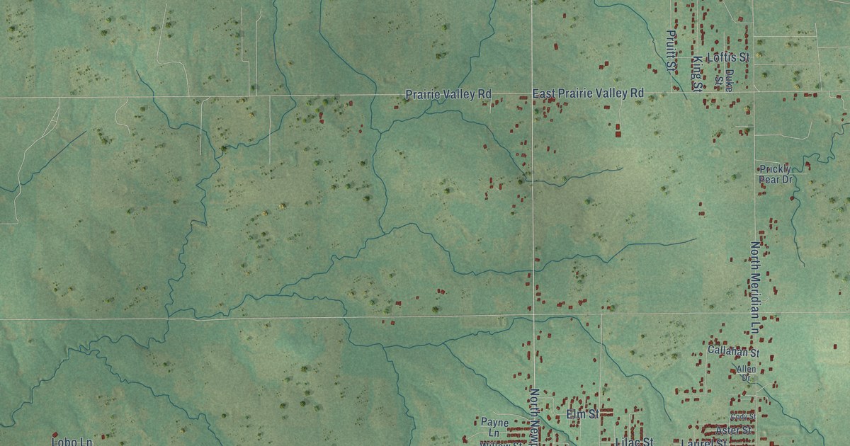
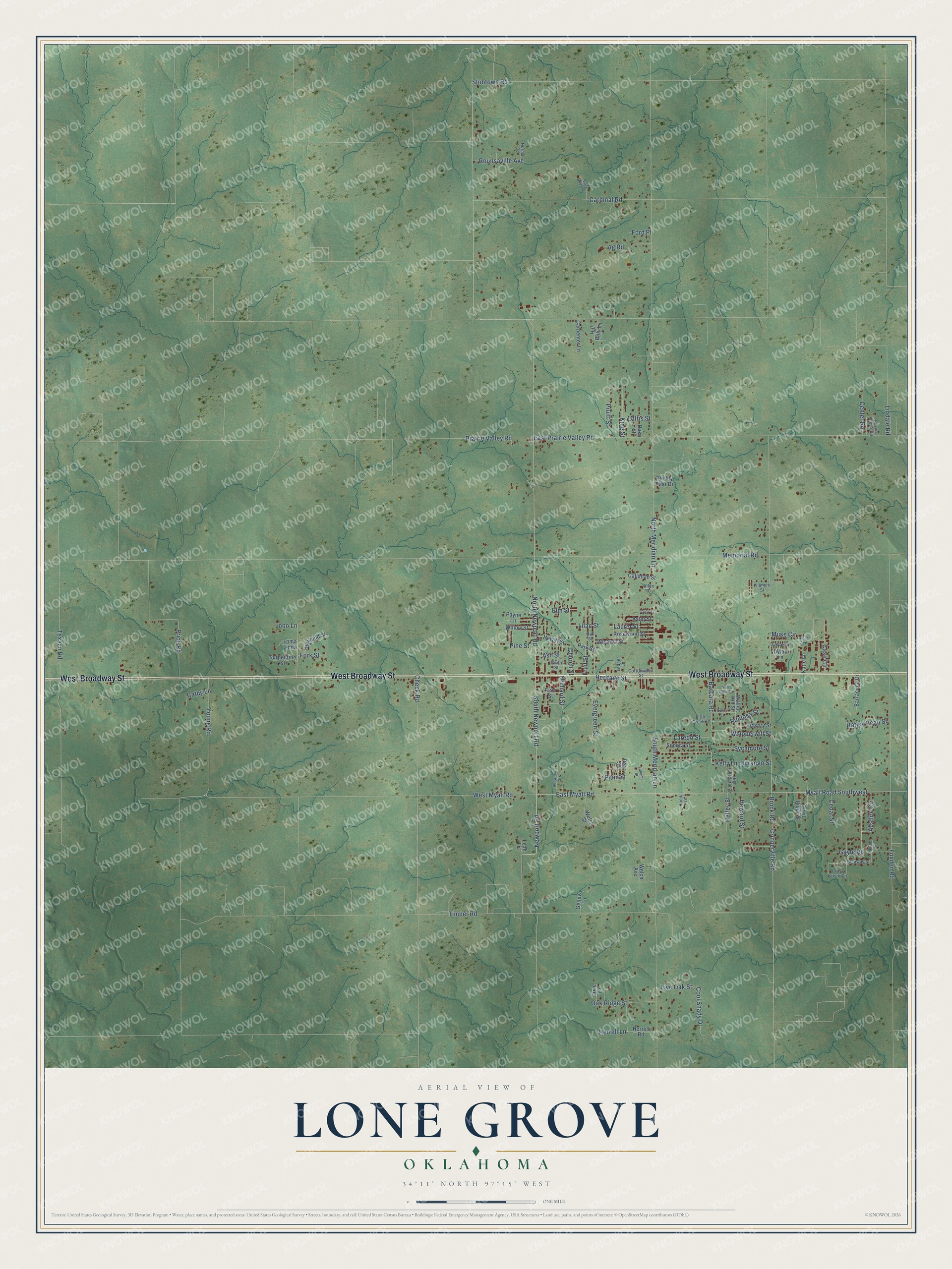
This beautifully detailed map of Lone Grove, Oklahoma was created in 2026 using aerial imagery combined with modern topographical, census, street and landmark data. It's a modern aerial view of Lone Grove in Carter County, Oklahoma, that combines modern data with a vintage aesthetic. The roads feature printed names, and if you look closely you can find your exact house accurately shown in its correct location.
Explore an aerial view of Lone Grove, Oklahoma
On this map you'll find West Broadway Street, North Newport Road, South Newport Road, Newport Road, East Myall Road, Myall Road Southwest, Abshire Circle, Texaco Road, Cool Shady Drive, North Meridian Lane, Brock Road, Memorial Road, and more. Each red shape is a building, so zoom in on the preview and look for yours.
Every town has a first chapter, and Lone Grove is no exception. The record at okhistory.org puts it this way: "(Popularly called the Ringling Railroad, the line was later acquired by the Atchison, Topeka and Santa Fe Railway and was abandoned in 1976."
Lone Grove is a city in Carter County.
Take a closer look at the Lone Grove map
Names on this map
These names are printed on this map.
Streets and roads: West Broadway Street, North Newport Road, South Newport Road, Newport Road, East Myall Road, Myall Road Southwest, Abshire Circle, Texaco Road, Cool Shady Drive, North Meridian Lane, Brock Road, Memorial Road.
More street names, A to Z
Ag Road, Allen Drive, Ash Street, Aster Street, Aulds Avenue, Barbara Road, Barracuda Drive, Birch Street, Callahan Street, Cardinal Road, Carpenter Lane, Case Circle, Cathy Lane, Cedar Street, Center Road, Cheek Road, Church Street, Cody Street, Cottonwood Street, Crinnerville Road, Cross Creek Circle, Dixie Lane, Duece Lane, Duke Street, Durango Street, Dylan Lane, East Prairie Valley Road, Elm Street, Evergreen Street, Fillmore Street, First Street, Ford Place, Fork Street, Foxden Road, Fruit Street, Gayle Road, Geneva Lane, Glenway Street, Hatley Bean Street, Hefley Street, Heritage Street, Herrell Lane, Herrell Road, Hewitt Street, Hickory Street, High Chaparal Drive, Highland Street, Hill Billy Lane, Honda Lane, Howard Street, Katie Lane, Kelly Lane, King Street, Lahoma Street, Laredo Street, Laurel Street, Leah Lane, Ledger Lane, Lilac Street, Lindale Road, Little Creek Lane, Live Oak Street, Lobo Lane, Loftis Street, Loma Linda, Muse Circle, Myrtle Street, Norma Drive, Oak Ridge Street, Oak Street, Orchard Street, Park Street, Payne Lane, Pear Street, Pecan Creek Circle, Pine Street, Plum Street, Prairie Valley Road, Price Road, Prickly Pear Drive, Pruitt Street, Quail Ridge Street, Redwood Street, Rosewood Street, Rounsaville Avenue, Ruidosa Street, Sierra Street, Sonora Street, South Meridian Lane, Stobtown Road, Stone Bridge Lane, Surpentine Street, Sycamore Street, Timber Road, Van Horn Street, Walnut Hill Street, Welch Avenue, Welch Street, West Myall Road, Whipperwill Street, Willow Street, Wisteria Street, Young Road.
Created by KNOWOL in 2026. The buildings are small red shapes, the roads carry their printed names, and shaded relief shows the shape of the land. The title panel reads "AERIAL VIEW OF LONE GROVE OKLAHOMA" with 34°11' NORTH 97°15' WEST.
Hang it in the hallway, the office or the cabin, or give it to someone who left Lone Grove and still calls it home. Open the preview and look for a street you know. See sizes and frames for the Lone Grove map.