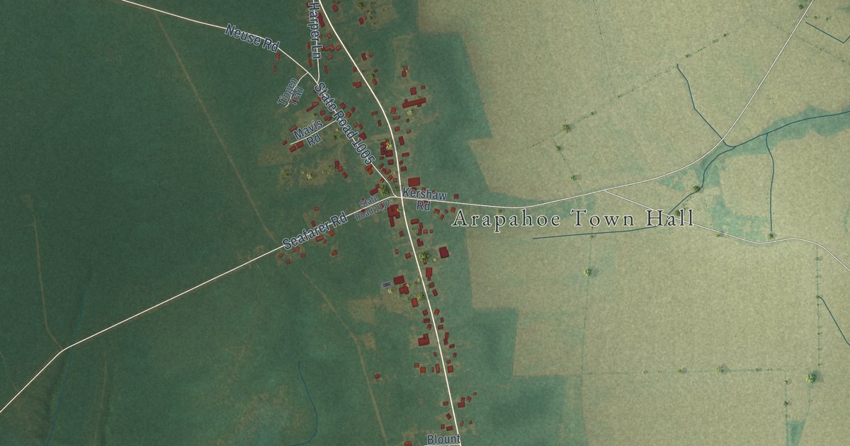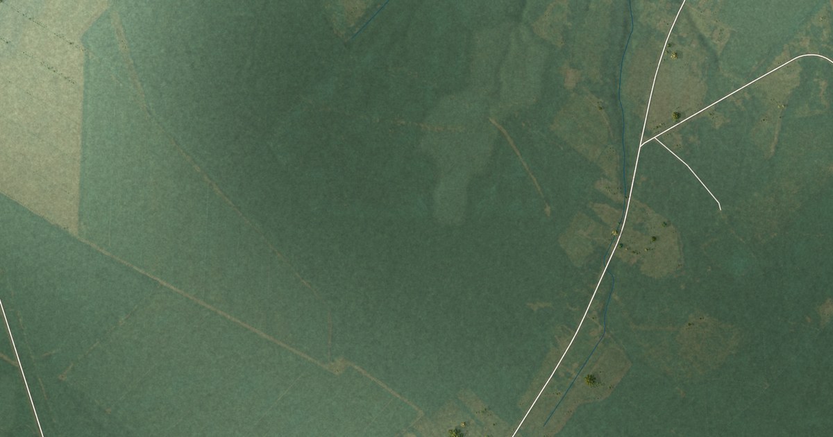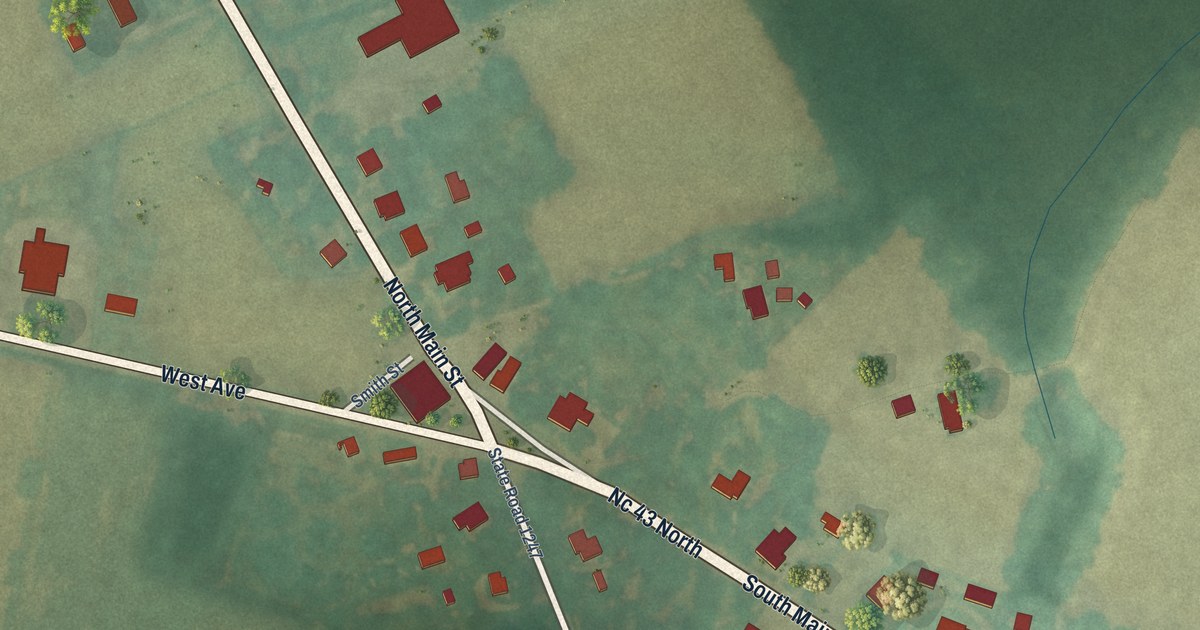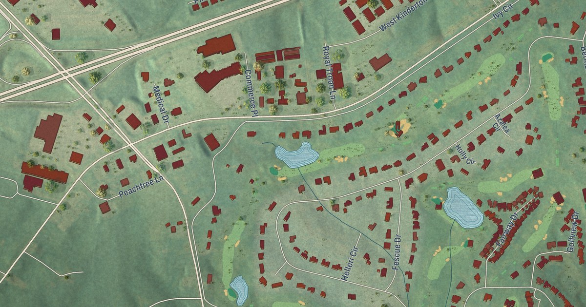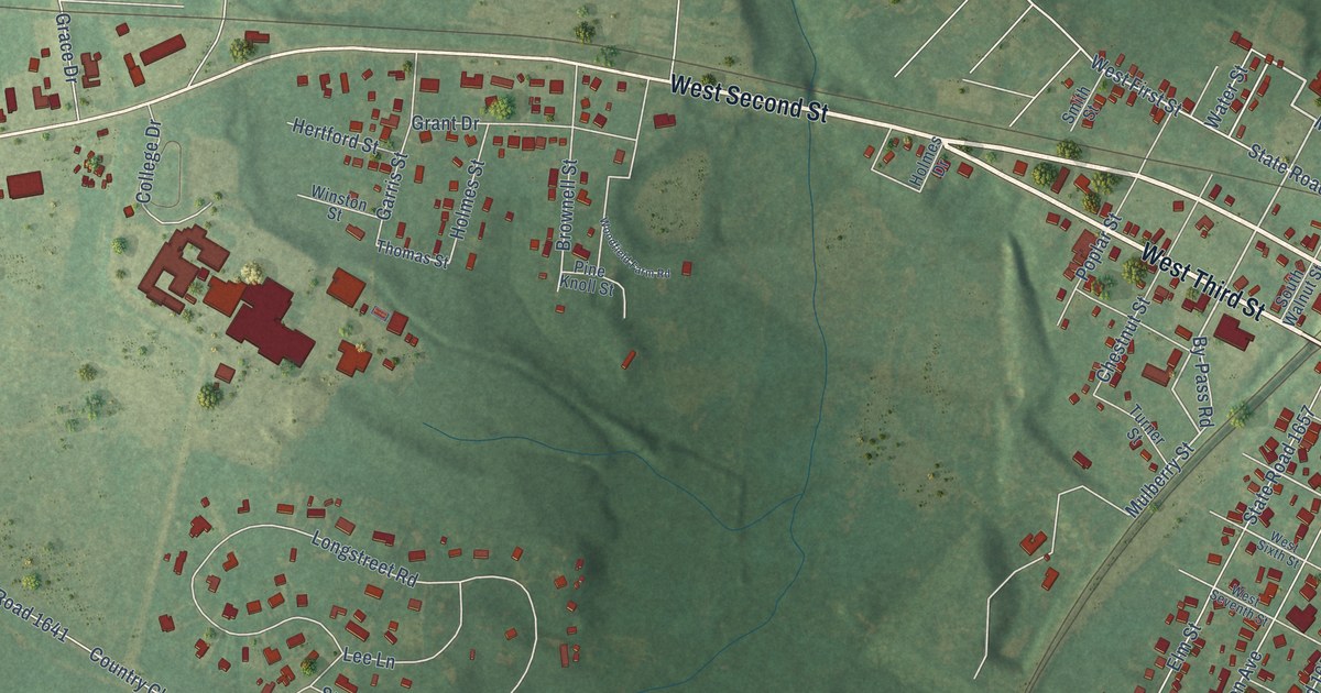
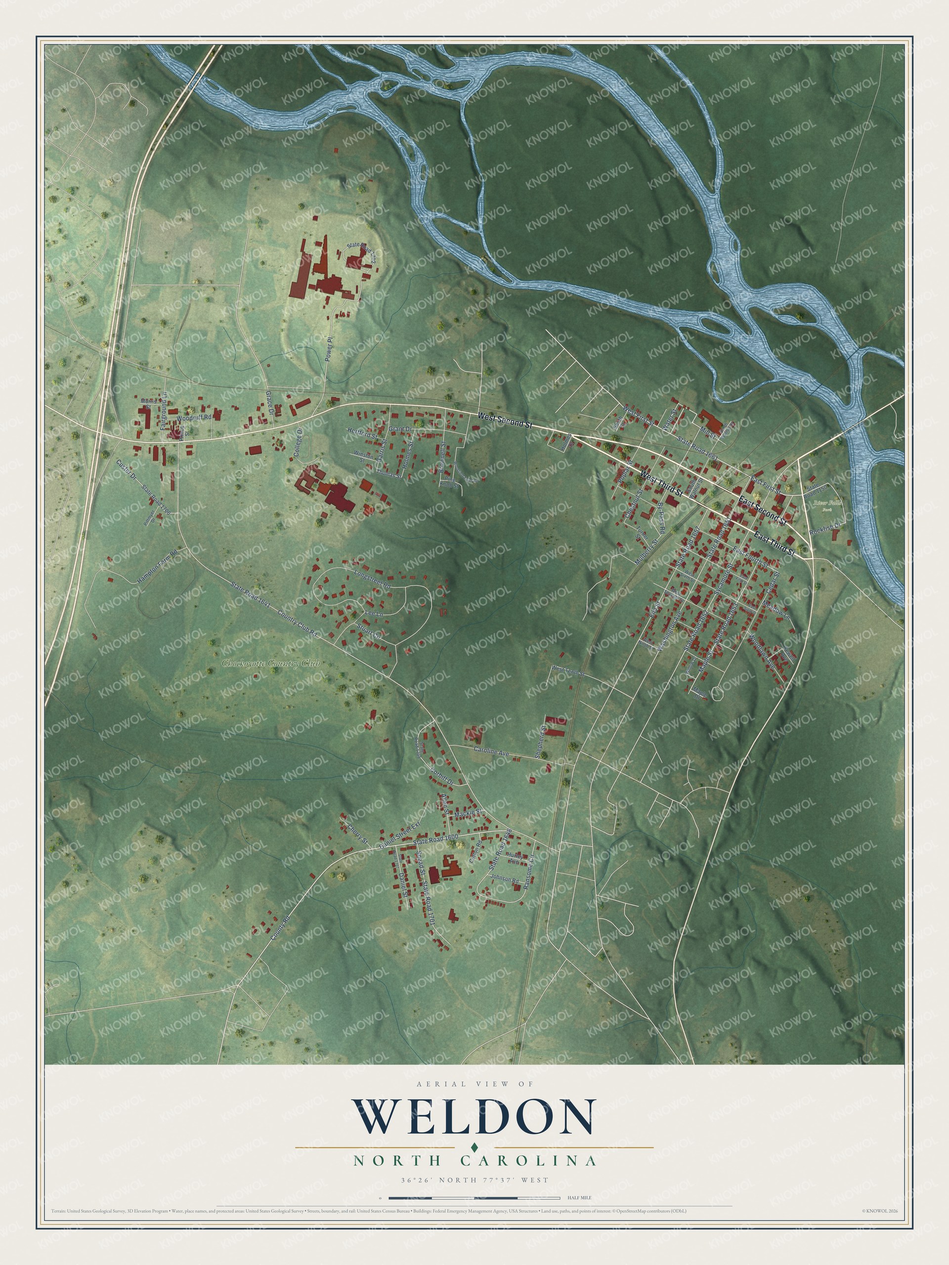
This beautifully detailed map of Weldon, North Carolina was created in 2026 using aerial imagery combined with modern topographical, census, street and landmark data. It's a modern aerial view of Weldon in Halifax County, North Carolina, that combines modern data with a vintage aesthetic. The roads feature printed names, and if you look closely you can find your exact house accurately shown in its correct location.
Explore an aerial view of Weldon, North Carolina
On this map you'll find River Falls Park, Chockoyotte Country Club, East Second Street, West Third Street, West Second Street, East Third Street, Water Street, County Road, State Road 1600, State Road 1661, East First Street, West First Street, and more. Each red shape is a building, so zoom in on the preview and look for yours.
Every town has a first chapter, and Weldon is no exception. The record at dncr.nc.gov puts it this way: "The Chockoyotte Creek Aqueduct in Weldon is the architectural gem of the canal and is listed on the National Register of Historic Places."
Weldon is a town in Halifax County. The Census Bureau counted 1,444 people here in 2020.
Take a closer look at the Weldon map
Names on this map
These names are printed on this map.
Places: River Falls Park and Chockoyotte Country Club.
Streets and roads: East Second Street, West Third Street, West Second Street, East Third Street, Water Street, County Road, State Road 1600, State Road 1661, East First Street, West First Street, Mulberry Street, East Fourth Street.
More street names, A to Z
Allen Street, Brownell Street, By-Pass Road, Caroline Avenue, Cedar Street, Cherry Street, Chestnut Street, College Drive, Corbitt Drive, Cotton Road, Country Club Road, Custer Drive, Daniel Street, Daniel Street Extension, East Fifth Street, East Sixth Street, Elm Street, Fairground Lane, Fewell Avenue, Garris Street, Grace Drive, Grant Drive, Hampton Farm Road, Hertford Street, Holmes Drive, Holmes Street, Hurley Avenue, Johnson Road, Lee Lane, Longstreet Road, Mackie Street, Maple Drive, Maple Street, Meadow Lane, Mill Street, Morris Street, North Walnut Street, Pine Knoll Street, Pittmyer Drive, Poplar Street, Power Place, Prince Street, Ransome Circle, Rockfish Drive, Shepherd Street, Smith Street, Snead Street, South Walnut Street, State Road 1150, State Road 1641, State Road 1648, State Road 1651, State Road 1652, State Road 1653, State Road 1657, State Road 1701, State Road 1702, State Road 1706, State Road 1707, State Road 1709, Stuart Circle, Sycamore Street, Thomas Street, Turner Street, Washington Avenue, West Ninth Street, West Seventh Street, West Sixth Street, West Tenth Street, Willow Drive, Winston Street, Woodfield Farm Road, Woodlawn Avenue, Woodruff Road.
Created by KNOWOL in 2026. The buildings are small red shapes, the roads carry their printed names, and shaded relief shows the shape of the land. The title panel reads "AERIAL VIEW OF WELDON NORTH CAROLINA" with 36°26' NORTH 77°37' WEST.
Hang it in the hallway, the office or the cabin, or give it to someone who left Weldon and still calls it home. Open the preview and look for a street you know. See sizes and frames for the Weldon map.