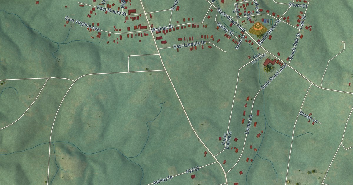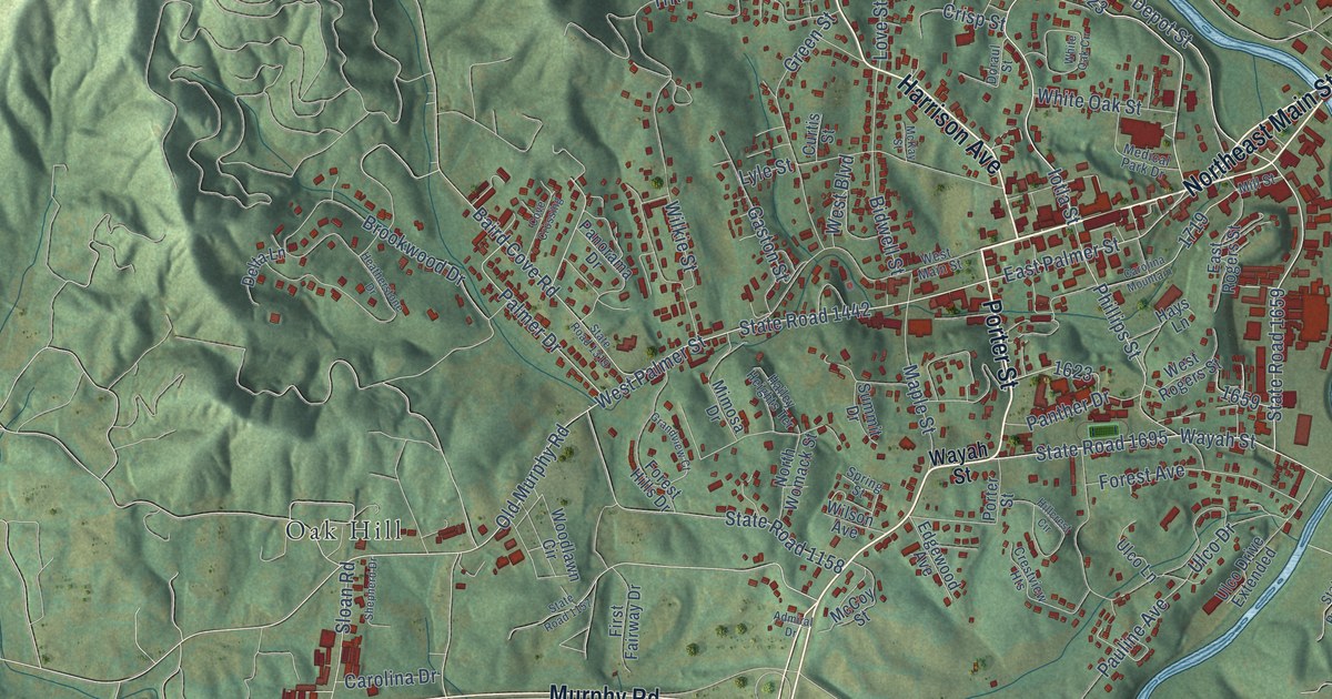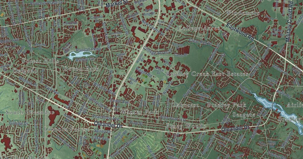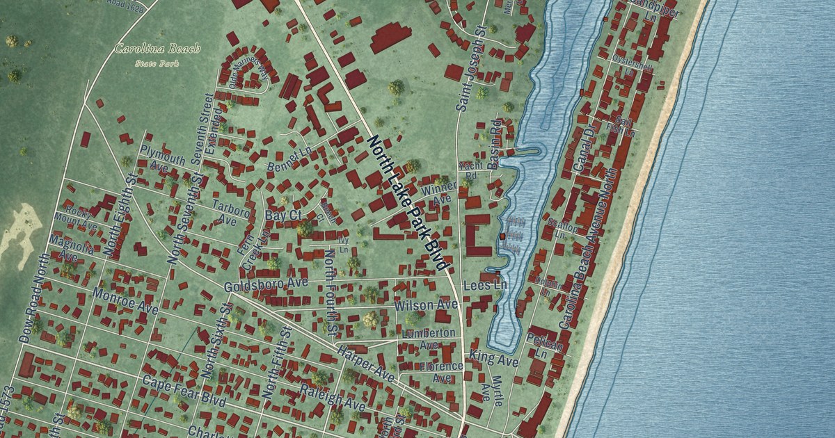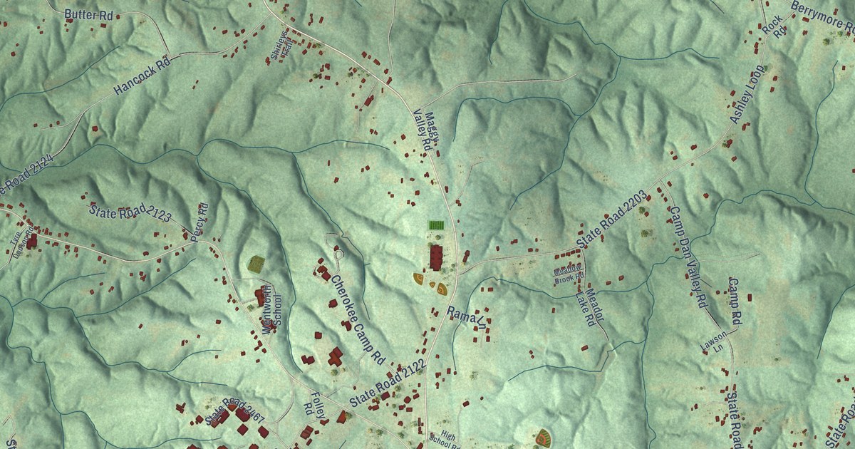
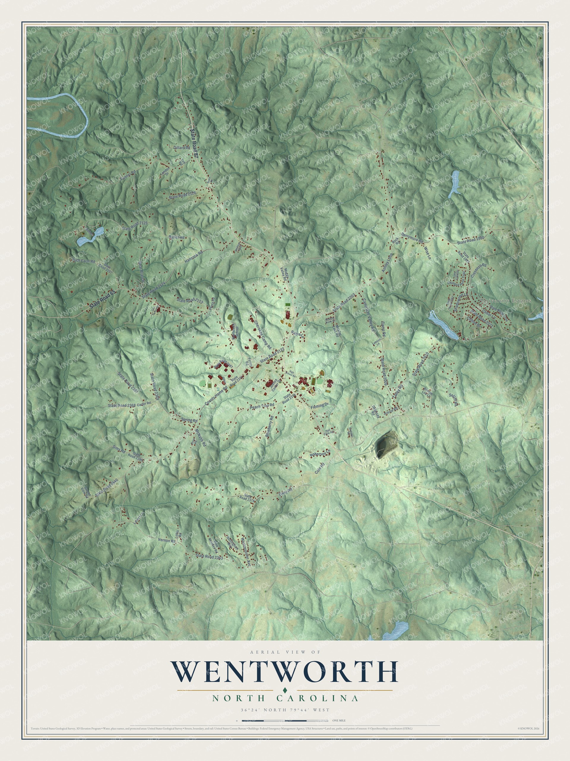
This beautifully detailed map of Wentworth, North Carolina was created in 2026 using aerial imagery combined with modern topographical, census, street and landmark data. It's a modern aerial view of Wentworth in Rockingham County, North Carolina, that combines modern data with a vintage aesthetic. The roads feature printed names, and if you look closely you can find your exact house accurately shown in its correct location.
Explore an aerial view of Wentworth, North Carolina
On this map you'll find University Estates, State Road 87, State Road 65, State Road 2368, Bear Branch, County Home Road, State Road 2203, Ashley Loop, Pannel Road, Butter Road, State Road 2363, Vernon Road, and more. Each red shape is a building, so zoom in on the preview and look for yours.
Wentworth has a story worth telling. The record at dncr.nc.gov puts it this way: "Due to the desire to increase the small populace growing around the courthouse, the General Assembly created the town of Wentworth on the site."
Wentworth is a town in Rockingham County. The Census Bureau counted 2,662 people here in 2020.
Take a closer look at the Wentworth map
Names on this map
These names are printed on this map.
Places: University Estates.
Streets and roads: State Road 87, State Road 65, State Road 2368, Bear Branch, County Home Road, State Road 2203, Ashley Loop, Pannel Road, Butter Road, State Road 2363, Vernon Road, State Road 2125.
More street names, A to Z
Berrymore Road, Blueberry Road, Bonnie Lou Lane, Butter, Camp Dan Valley Road, Camp Road, Carter Road, Cedar Lane, Cherokee Camp Road, Chinqua Penn Trail, Clifton Drive, Cole Road, Cresenzo Road, Dairy Road, Delancey Road, Dillard Road, Dove Road, Fleming Drive, Foch Farm Road, Folley Road, Fox Road, Gymn, Hall Farm Road, Hancock Road, High School Road, Justice Center Drive, Lake Front Drive, Landen Drive, Lawson Lane, Loftis Road, Lovers Lane, Maggy Valley Road, McNabb Road, Meador Lake Road, Meadow Brook Road, Nottingham Way, Peach Tree Road, Percy Road, Pine Needles Road, Pinrod Road, Rama Lane, Roach Road, Roberson Lane, Rock Road, Setliff Road, Shadowood Lane, Shirleys Trail, Sims Road, Spring Road, State Road 1980, State Road 1993, State Road 2009, State Road 2010, State Road 2067, State Road 2071, State Road 2122, State Road 2123, State Road 2124, State Road 2126, State Road 2207, State Road 2367, State Road 2369, State Road 2371, State Road 2374, State Road 2378, State Road 2396, State Road 2440, State Road 2467, State Road 2704, Sunflower Road, Sunset View Road, Talley Road, Tyre Dodson Road, Wentworth School, Westminister Avenue, Wise Lane.
Created by KNOWOL in 2026. The buildings are small red shapes, the roads carry their printed names, and shaded relief shows the shape of the land. The title panel reads "AERIAL VIEW OF WENTWORTH NORTH CAROLINA" with 36°24' NORTH 79°44' WEST.
It looks right in a kitchen, an office or a den, and it's a gift for anyone who grew up in Wentworth or moved away. Open the preview and find your street. See sizes and frames for the Wentworth map.