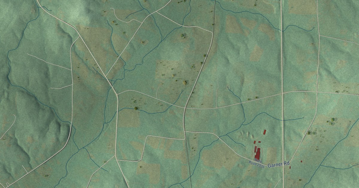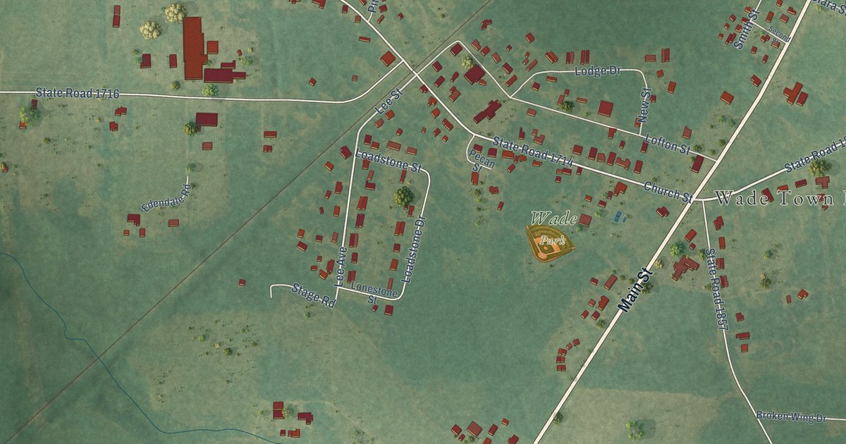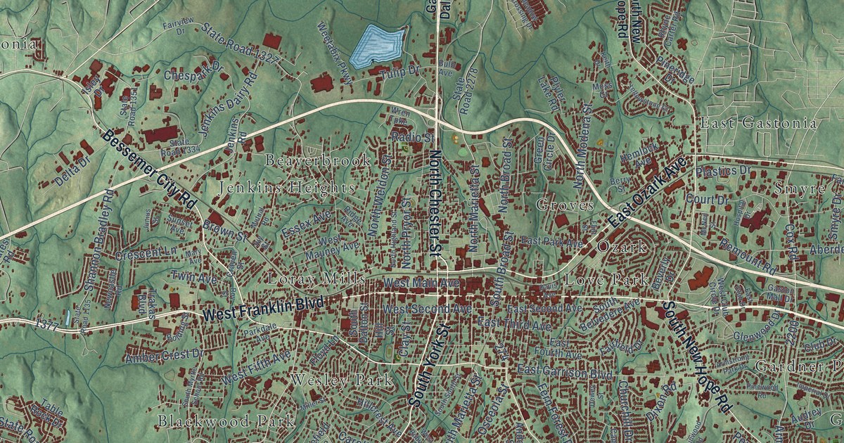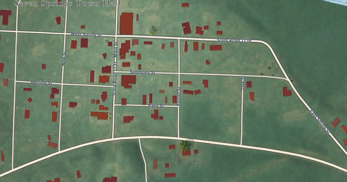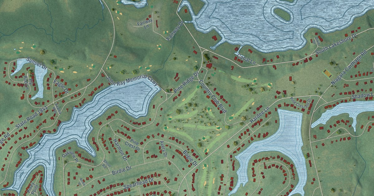
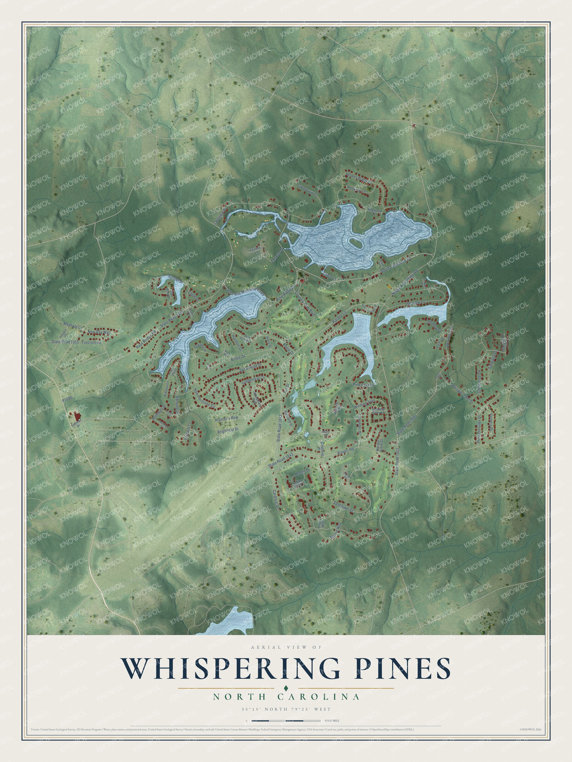
This beautifully detailed map of Whispering Pines, North Carolina was created in 2026 using aerial imagery combined with modern topographical, census, street and landmark data. It's a modern aerial view of Whispering Pines in Moore County, North Carolina, that combines modern data with a vintage aesthetic. The roads feature printed names, and if you look closely you can find your exact house accurately shown in its correct location.
Explore an aerial view of Whispering Pines, North Carolina
On this map you'll find South Lakeshore Drive, Country Club Boulevard, Sandpiper Drive, Hardee Lane, State Road 1842, Shadow Lane, Par Drive, State Road 1802, Pine Ridge Drive, Niagara Carthage Road, Lakeview Drive, Pine Lake Drive, and more. Each red shape is a building, so zoom in on the preview and look for yours.
Every town has a first chapter, and Whispering Pines is no exception. The Visit Pinehurst Southern Pines Aberdeen puts it this way: "Back in the late 1700s, Charles Hurd and Nicholas Smith received land grants from the king of England, and the area we now call Whispering Pines was born."
Whispering Pines is a village in Moore County. The Census Bureau counted 4,987 people here in 2020.
Take a closer look at the Whispering Pines map
Names on this map
These names are printed on this map.
Streets and roads: South Lakeshore Drive, Country Club Boulevard, Sandpiper Drive, Hardee Lane, State Road 1842, Shadow Lane, Par Drive, State Road 1802, Pine Ridge Drive, Niagara Carthage Road, Lakeview Drive, Pine Lake Drive.
More street names, A to Z
Ainsley Avenue, Airport Road, Arbutus Lane, Aurora Drive, Avery Drive, Azalea Way, Banning Drive, Birdie Drive, Birdie Place, Bogie Drive, Brightleaf Drive, Buckley Court, Canal Lane, Cardinal Drive, Crows Nest, Dewberry Drive, Dixie Drive, Dogwood Place, Dresden Lane, Eagle Drive, Fairway Drive, Fairway Lane, Falcon Road, Fly Rod Lane, Foxcroft Road, Goldenleaf Circle, Goldenrod Drive, Hammerstone Circle, Harmon Drive, Herons Brook Drive, Highland Drive, John Ray Memorial Causeway, Lakewood Court, Lavender Drive, Maro Lane, Martin Drive, Martin Way, Mayfield Court, Morning Glory Lane, New Day Way, Oakview Place, Pine Crescent Drive, Pine Crest Drive, Piney Point, Planter's Row, Princess Gate Drive, Rays Bridge Road, Robins Roost, Rookery Lane, Rothbury Drive, Royal Woods Way, Sabbatia Drive, Shadow Drive, Short Road, Snapper Lane, Spearhead Drive, State Road 1841, State Road 1843, State Road 1894, State Road 1915, Sullivan Drive, Sunset Drive, Tucker Road, Vayland Court, Victoria Drive, Wheatfield Way, Whisper Grove Court, Whisper Lake Drive, Winding Trail, Windsong Place, Wisteria Way.
Created by KNOWOL in 2026. The buildings are small red shapes, the roads carry their printed names, and shaded relief shows the shape of the land. The title panel reads "AERIAL VIEW OF WHISPERING PINES NORTH CAROLINA" with 35°15' NORTH 79°23' WEST.
Hang it in the hallway, the office or the cabin, or give it to someone who left Whispering Pines and still calls it home. Open the preview and look for a street you know. See sizes and frames for the Whispering Pines map.