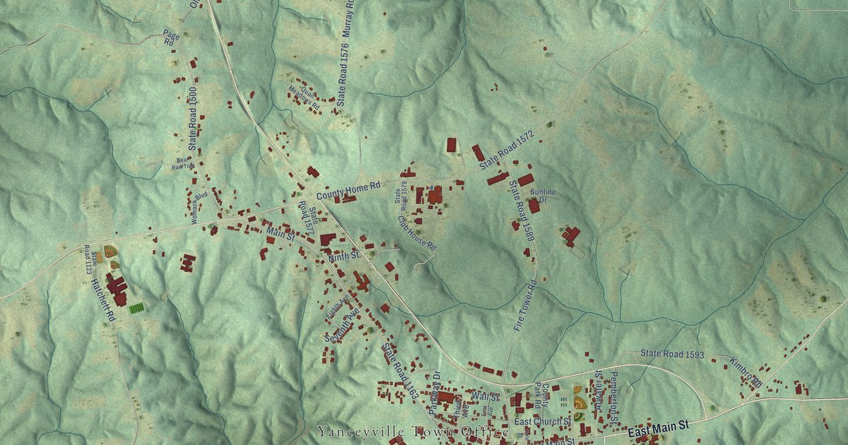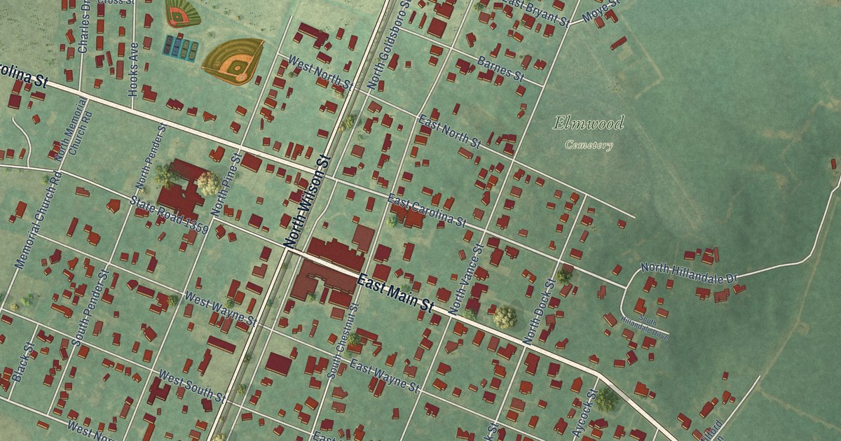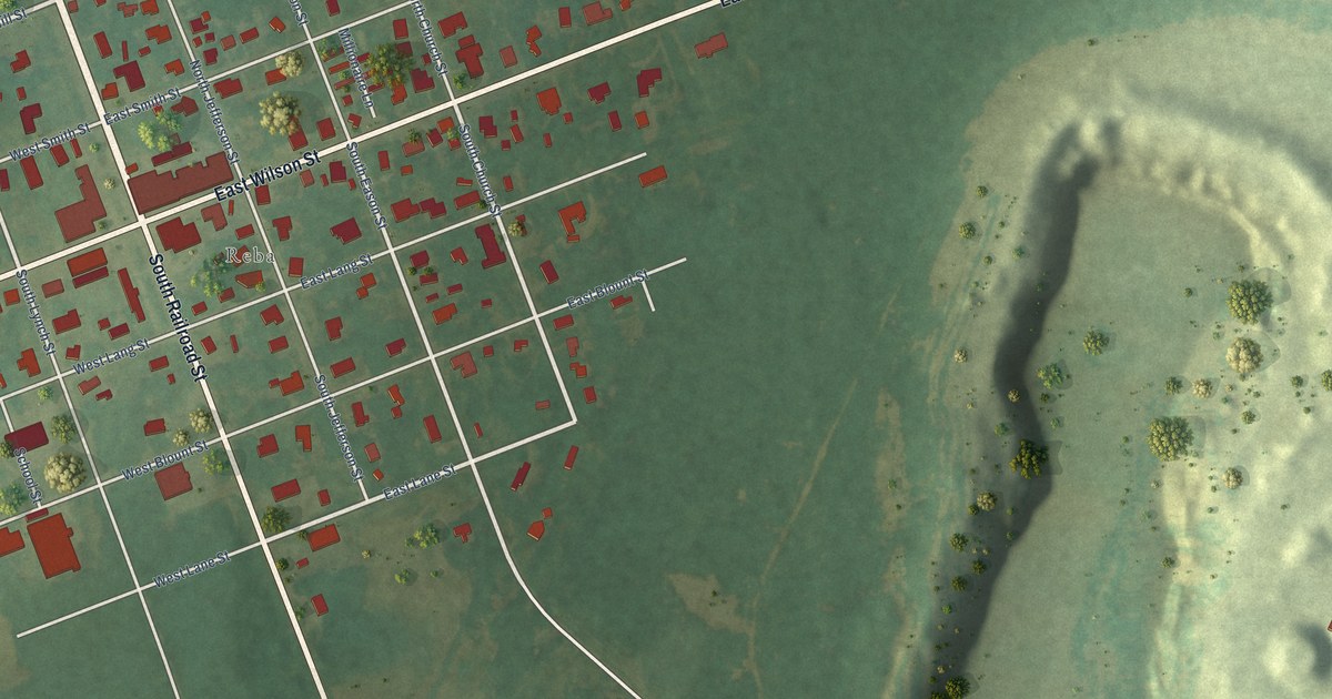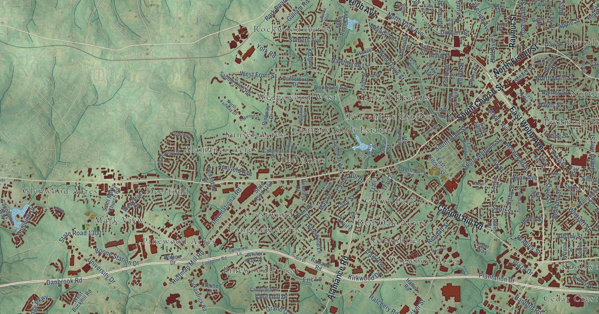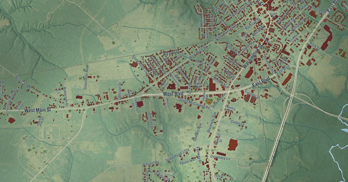
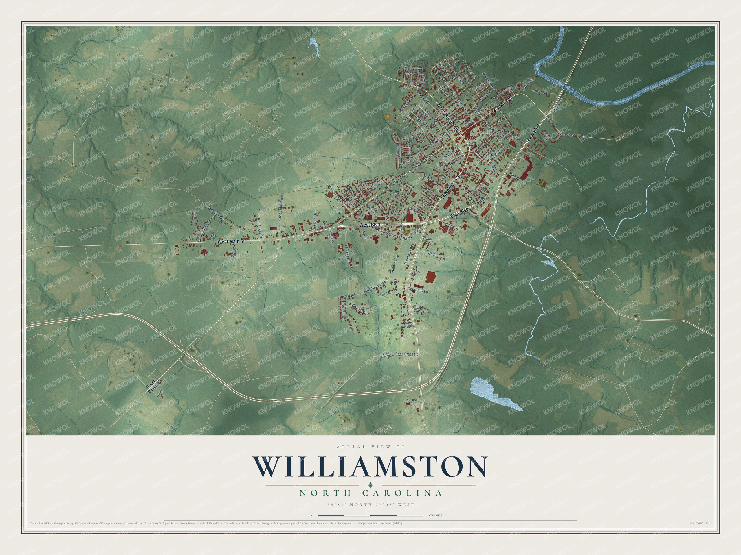
This beautifully detailed map of Williamston, North Carolina was created in 2026 using aerial imagery combined with modern topographical, census, street and landmark data. It's a modern aerial view of Williamston in Martin County, North Carolina, that combines modern data with a vintage aesthetic. The roads feature printed names, and if you look closely you can find your exact house accurately shown in its correct location.
Explore an aerial view of Williamston, North Carolina
On this map you'll find East Boulevard, Washington Street, West Main Street, West Boulevard, East Main Street, North Haughton Street, State Road 1445, Williams Street, South Watts Street, School Drive, East Church Street, West Church Street, and more. Each red shape is a building, so zoom in on the preview and look for yours.
Williamston has a story worth telling. The record at dncr.nc.gov puts it this way: "The present building, the church’s third, was constructed near Williamston in 1853."
Williamston is a town in Martin County. The Census Bureau counted 5,248 people here in 2020.
Take a closer look at the Williamston map
Names on this map
These names are printed on this map.
Streets and roads: East Boulevard, Washington Street, West Main Street, West Boulevard, East Main Street, North Haughton Street, State Road 1445, Williams Street, South Watts Street, School Drive, East Church Street, West Church Street.
More street names, A to Z
Andrews Street, Bear Grass Road, Beech Street, Belcher Road, Brentway Avenue, Cantle Court, Carolina Avenue, Carolina Pines, Cedar Hill Drive, Cedar Lane, Center Street, Chesson Drive, Clubview Drive, Commons Drive, Countney Lane, Country Drive, Crawford Street, Dixie Drive, Dixie Trail, Dixon Circle, East Pine Street, Factory Street, Fairview Street, Fairway Drive, Faulk Street, First Street, Garrett Road, Gatlin Street, Godwin Avenue, Green Pine Drive, Greenville Avenue, Gurganus Street, Haines Street, Halifax Street, Hamilton Street, Hampton Court, Harris Street, Harris Way Drive, Hassell Street, Hatton Street, Henderson Street, Hill Street, Jamesville Road, Kehukee Park Road, Lee Street, Little Street, Marshall Avenue, Martin Avenue, Martin Street, Medical Drive, Middle Street, Mulberry Street, North Biggs Street, North Broad Street, North Elm Street, North Haines Street, North Park Avenue, North Smithwick Street, North Street, North Watts Street, Oakdale Drive, Oak Street, Oakwood Avenue, Outerbridge Road, Park Drive, Park Free Drive, Park Street, Peaks Street, Peele Street, Perry Street, Pinecrest Street, Plum Street, Prison Camp Road, Railroad Street, Ray Street, Rhodes Street, Ridgewood Drive, River Drive, River Road, Roberson Drive, Roberson Street, Santree Drive, Short Drive, Skewarky Avenue, Slade Street, South Edgewood Avenue, South McCaskey Road, South Park Avenue, South Pearl Street, State Road 1001, State Road 1124, State Road 1420, State Road 1424, State Road 1581, State Street, Sunset Drive, Tank Street, Union Avenue, Vepco Avenue, Walmart Drive, Warren Street, Weaver Drive, West Pine Street, White Street, Whitker Lane, Wild Cat Road, Willow Acres, Willow Drive, Wilson Street, Woodlawn Street.
Created by KNOWOL in 2026. The buildings are small red shapes, the roads carry their printed names, and shaded relief shows the shape of the land. The title panel reads "AERIAL VIEW OF WILLIAMSTON NORTH CAROLINA" with 35°51' NORTH 77°03' WEST.
It looks right in a kitchen, an office or a den, and it's a gift for anyone who grew up in Williamston or moved away. Open the preview and find your street. See sizes and frames for the Williamston map.