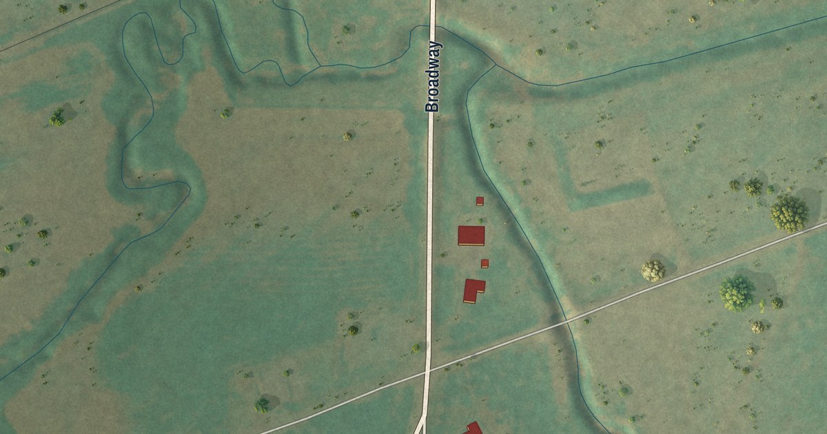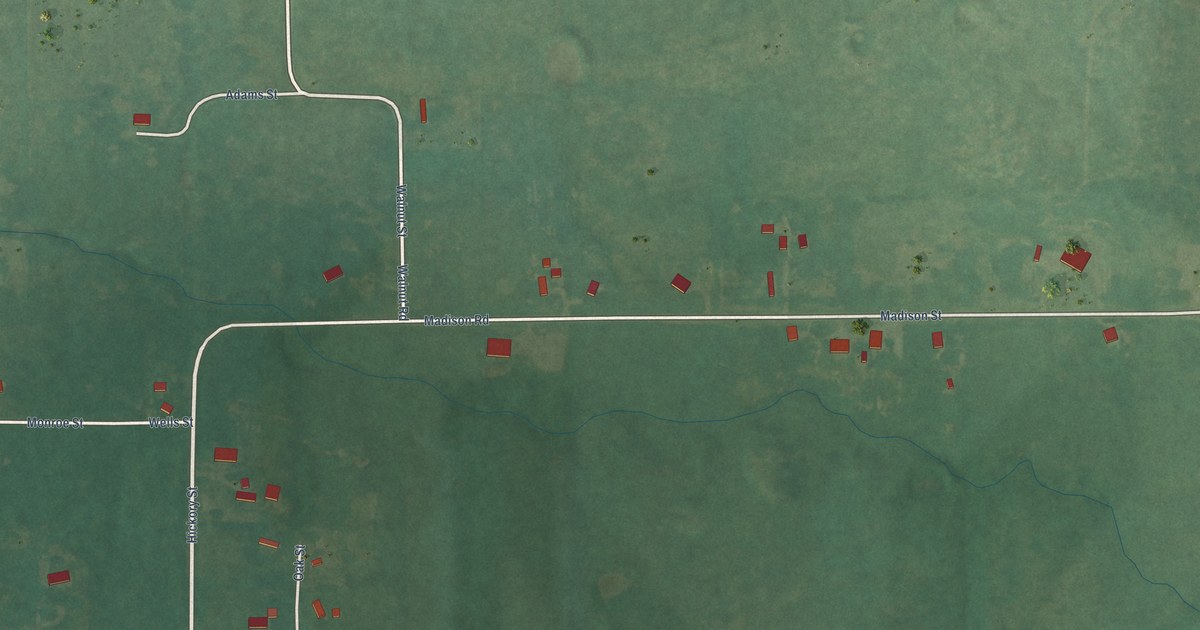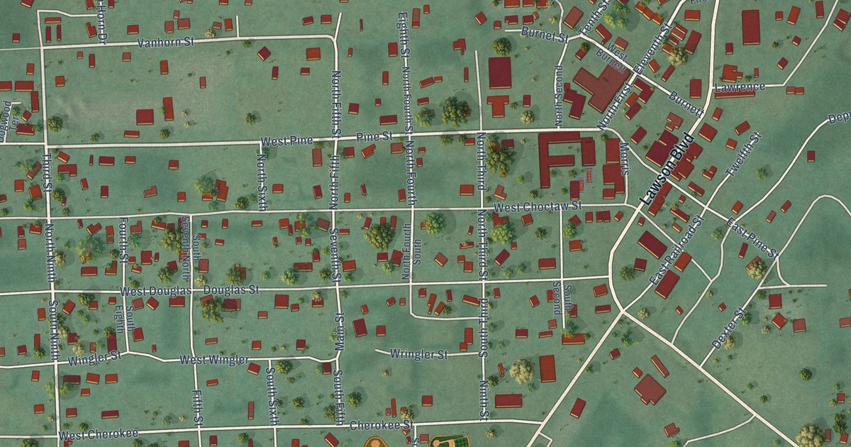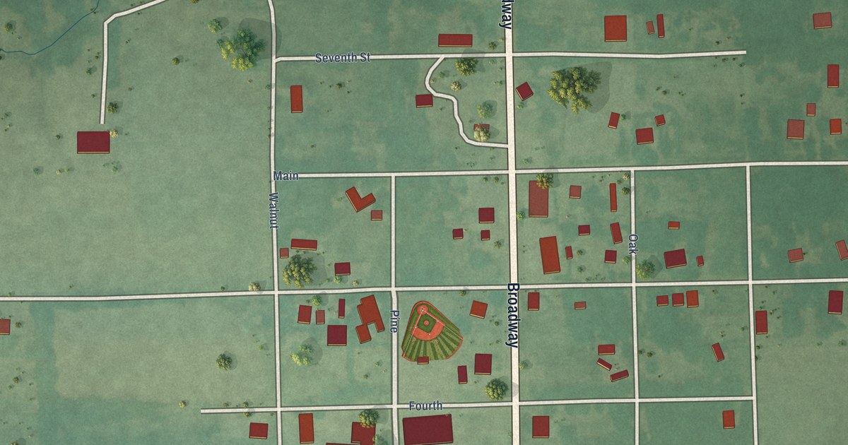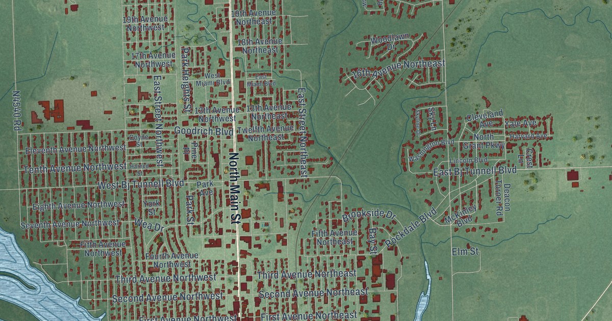
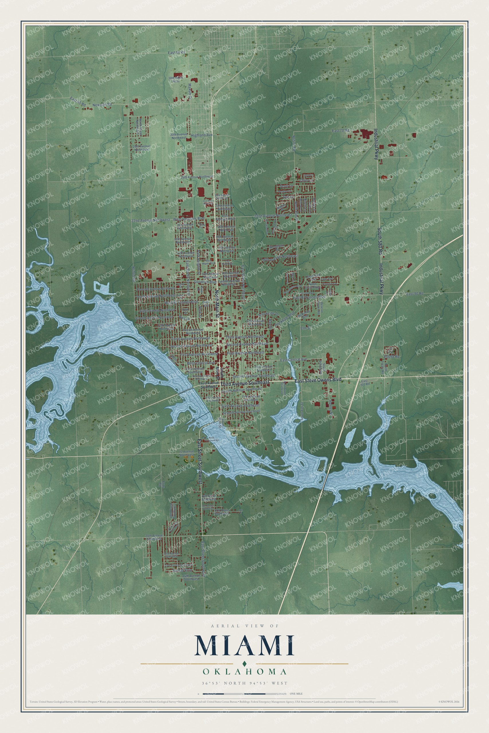
This beautifully detailed map of Miami, Oklahoma was created in 2026 using aerial imagery combined with modern topographical, census, street and landmark data. It's a modern aerial view of Miami in Ottawa County, Oklahoma, that combines modern data with a vintage aesthetic. The roads feature printed names, and if you look closely you can find your exact house accurately shown in its correct location.
Explore an aerial view of Miami, Oklahoma
On this map you'll find Riverview Park, North Main Street, East Steve Owens Boulevard, Third Avenue Southeast, Industrial Parkway, South 580 Road, East Street Southwest, East Central Avenue, E0098 Road, North Elm Street, West Central Avenue, N4570 Road, and more. Each red shape is a building, so zoom in on the preview and look for yours.
Every town has a first chapter, and Miami is no exception. The record at okhistory.org puts it this way: "For his support, Lykins, a member by adoption of the Peoria tribe, agreed to let the town be named after Richardville's Miami tribe."
Miami is a city in Ottawa County.
Take a closer look at the Miami map
Names on this map
These names are printed on this map.
Places: Riverview Park.
Streets and roads: North Main Street, East Steve Owens Boulevard, Third Avenue Southeast, Industrial Parkway, South 580 Road, East Street Southwest, East Central Avenue, North Elm Street, West Central Avenue, West Bj Tunnell Boulevard, Rockdale Boulevard, First Avenue Northwest.
More street names, A to Z
12 Avenue Southwest, 13th Avenue Northeast, 13th Avenue Northwest, 16th Avenue Northeast, 16th Place Southwest, 17th Avenue Northwest, 17th Avenue Southwest, 17th Place, 17th Place Southwest, 18th Avenue Northeast, 18th Place Southwest, 19th Avenue Northeast, 19th Avenue Northwest, 19th Avenue Southwest, 20th Avenue Northeast, 20th Avenue Southwest, 21st Avenue Northwest, 22nd Avenue Northeast, 22nd Avenue Northwest, 22nd Avenue Southwest, 23rd Avenue Northeast, 23rd Avenue Southwest, 23rd Place Northwest, 24th Avenue Northeast, 24th Avenue Southwest, 26th Avenue Northwest, 29th Avenue Northwest, 30th Avenue Northwest, 38th North West, Bay Street, Birch Lane, Birnamwood Drive, Brookhollow, Brookside Drive, Cedar Lane, Chris Lane, Cleveland Avenue, Coyne Street, Crest Lane, Deacon Turner Road, East 60 Road, East 65 Road, East 70 Road, East 90 Road, East 101 Road, East Bj Tunnell Boulevard, East Miami Boulevard, East Street Northeast, East Street Northwest, East Veterans Boulevard, Eighth Avenue Northwest, Eleventh Avenue Northwest, Elm Street, Fifth Avenue Northeast, Fifth Avenue Northwest, Fifth Avenue Southeast, Fifth Avenue Southwest, First Avenue Northeast, First Avenue Southeast, First Avenue Southwest, Fourth Avenue Northwest, Fourth Avenue Southeast, Goodrich Boulevard, Harned Street, Harvard Avenue, Henley Street, Highland Avenue, Holly Lane, Kanady Avenue, Lincoln Boulevard, Maple Drive, Maxum Drive, McKinley Boulevard, Morgan Circle, Newman Road, North Fairground Road, North Grant Parkway, North Street Northwest, North Street Southeast, North Treaty Road, Oak Lane, Park Avenue, Park Heights Street, Park Street, Pine Place, Ryan Lane, Scott Lane, Second Avenue Northeast, Second Avenue Northwest, Second Avenue Southeast, Second Avenue Southwest, Sencay Avenue, Seventh Avenue Northwest, Seventh Avenue Southeast, Sixth Avenue Southeast, Sky Lane, Skyline Drive, South Elm Street, South Main Street, South School Road, Sunset Strip, Tenth Avenue Northwest, Third Avenue Northeast, Third Avenue Northwest, Third Avenue Southwest, Twelfth Avenue Northeast, Washington Boulevard, Wea Drive, West Central, West Miami Boulevard, West Veterans Boulevard, Willow Lane, Woodlawn Drive, Yale Avenue, York Street.
Created by KNOWOL in 2026. The buildings are small red shapes, the roads carry their printed names, and shaded relief shows the shape of the land. The title panel reads "AERIAL VIEW OF MIAMI OKLAHOMA" with 36°53' NORTH 94°53' WEST.
Hang it in the hallway, the office or the cabin, or give it to someone who left Miami and still calls it home. Open the preview and look for a street you know. See sizes and frames for the Miami map.