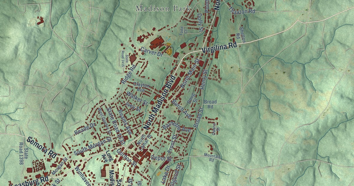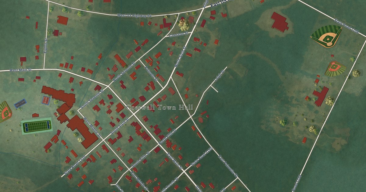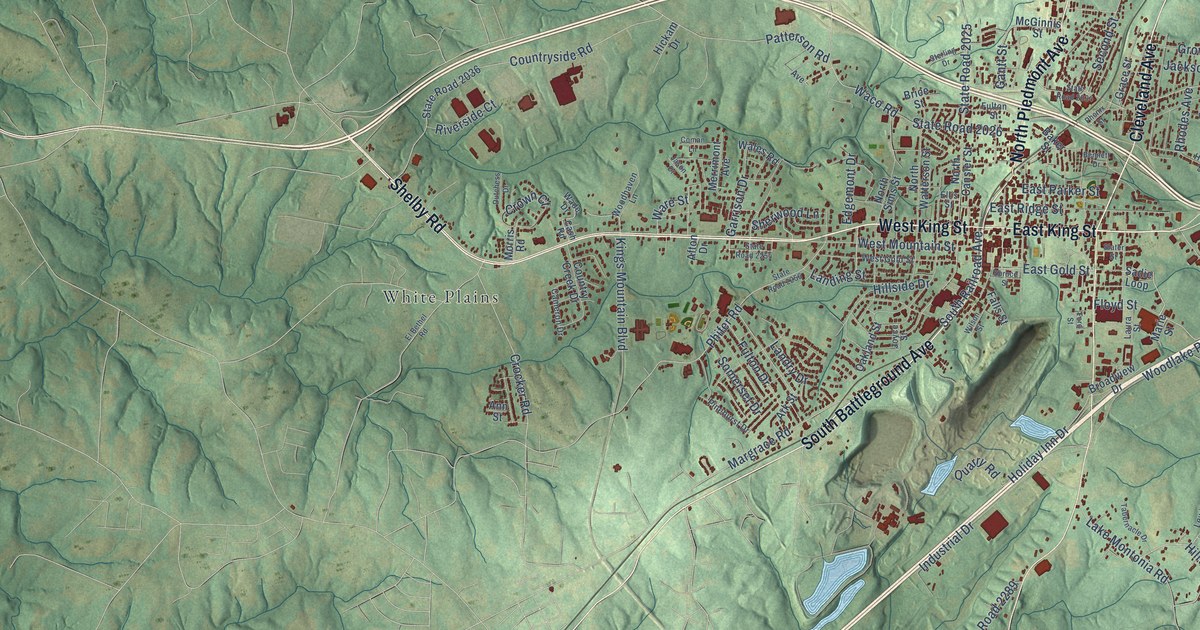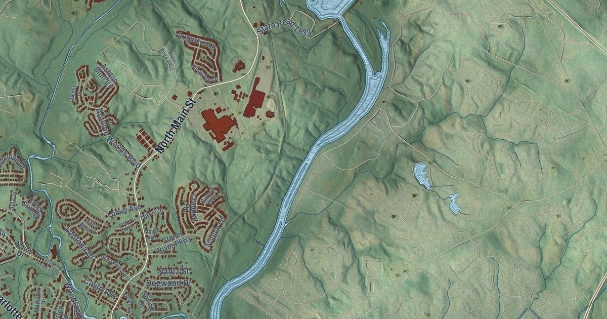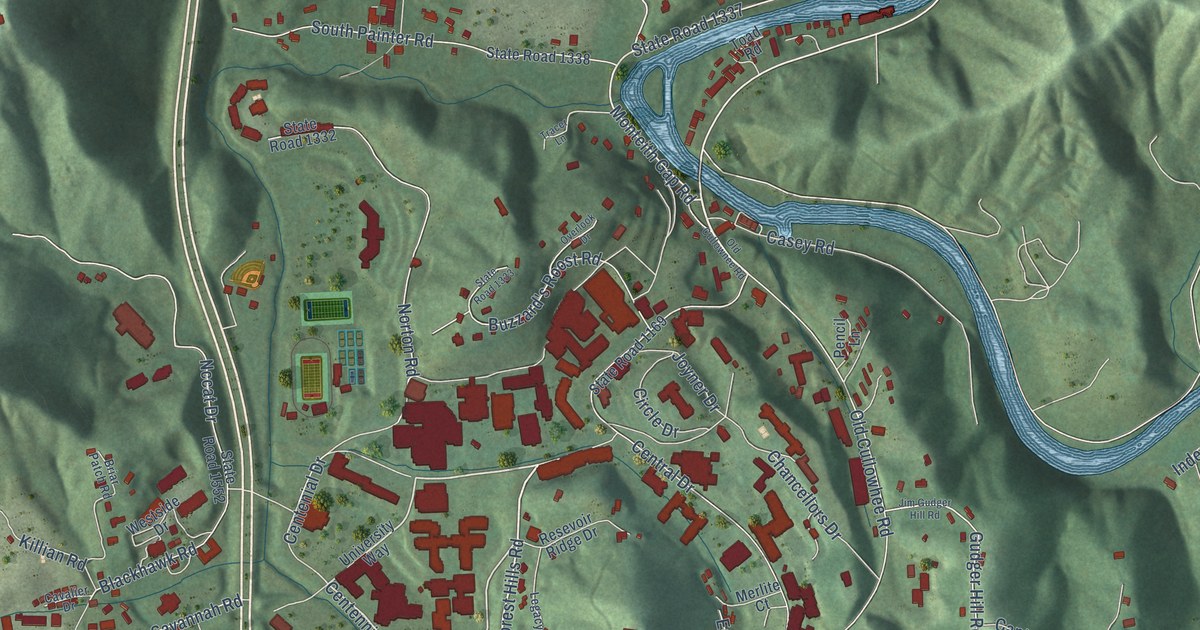
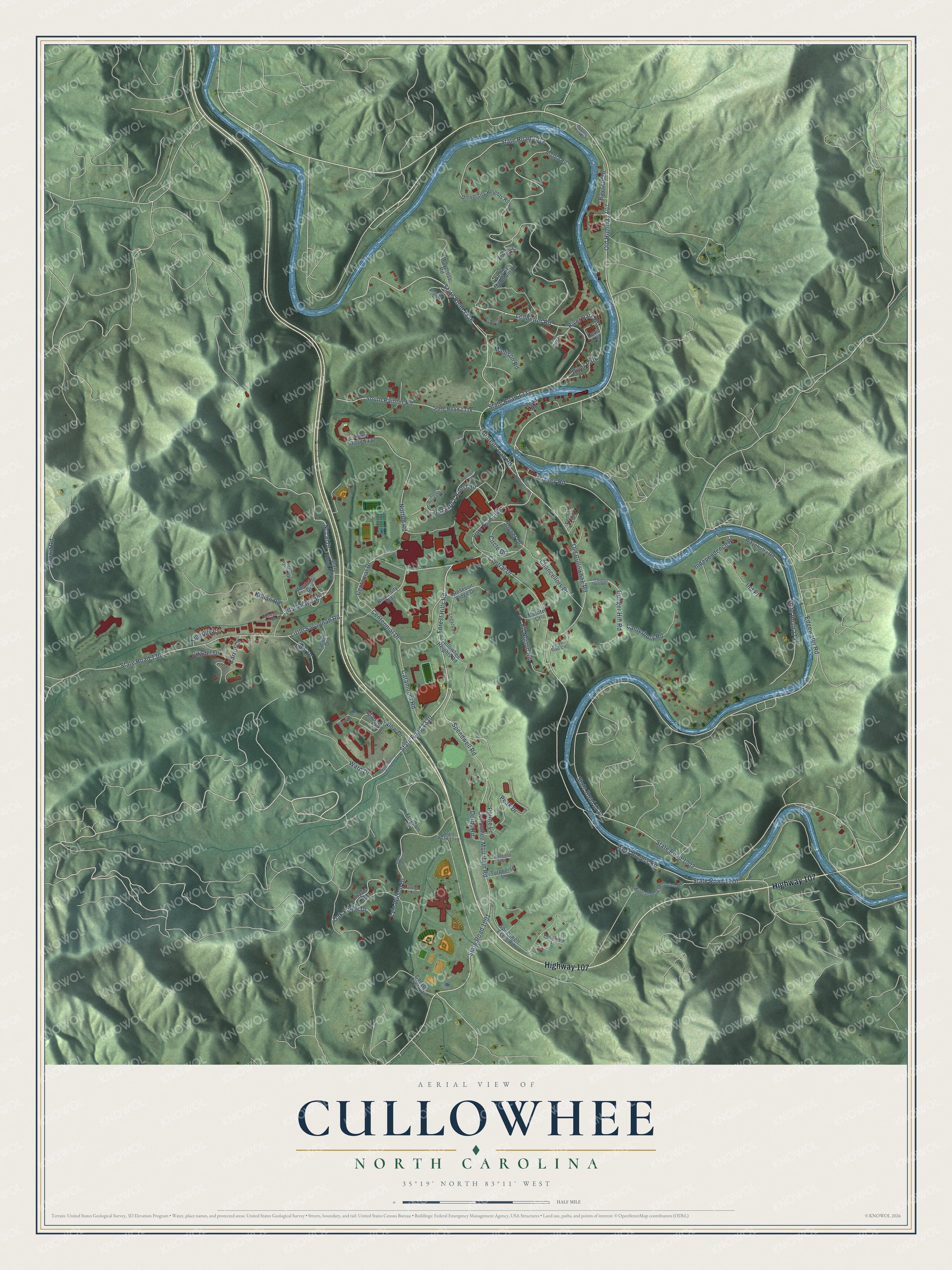
This beautifully detailed map of Cullowhee, North Carolina was created in 2026 using aerial imagery combined with modern topographical, census, street and landmark data. It's a modern aerial view of Cullowhee in Jackson County, North Carolina, that combines modern data with a vintage aesthetic. The roads feature printed names, and if you look closely you can find your exact house accurately shown in its correct location.
Explore an aerial view of Cullowhee, North Carolina
On this map you'll find Highway 107, State Road 1330, Centennial Drive, Old Highway 107, State Road 1336, Monteith Gap Road, State Road 1001, Cullowhee Mountain Road, Ledbetter Road, State Road 1337, Nccat Drive, River Park Drive, and more. Each red shape is a building, so zoom in on the preview and look for yours.
Cullowhee has a story worth telling. The record at dncr.nc.gov puts it this way: "The school’s name changed several times, to Cullowhee Normal and Industrial School in 1907, to Cullowhee State Norma School in 1929, and to Western Carolina Teachers College in 1929."
Cullowhee is a community in Jackson County. The Census Bureau counted 7,682 people here in 2020.
Take a closer look at the Cullowhee map
Names on this map
These names are printed on this map.
Places: River Park.
Streets and roads: Highway 107, State Road 1330, Centennial Drive, Old Highway 107, State Road 1336, Monteith Gap Road, State Road 1001, Cullowhee Mountain Road, Ledbetter Road, State Road 1337, Nccat Drive, River Park Drive.
More street names, A to Z
Airport Road, Alta View Drive, Amarillo Place, Arcola Road, Barley Lane, Bayside Drive, Blackhawk Road, Briar Patch Road, Buzzard's Roost Road, Canterbury Road, Canyon Creek Drive, Carrot Drive, Casey Road, Catamount Road, Cats Den Drive, Cavalier Drive, Centenial Drive, Central Drive, Chancellors Drive, Circle Drive, Citadel Drive, Cullowhee Heights Road, Deerfield Trail, Derby Road, Devin Drive, Dixs Gap Circle, Edgewater Road, Ed Norton Road, El Dorado Lane, Faculty Drive, Forest Hills Road, Freedom Drive, Gudger Hill Road, Hughes Park Drive, Independence Place, Indigo Lane, Ind Place, Jim Gudger Hill Road, Joyner Drive, Killian Road, Legacy Lane, Little Savannah Road, Lyle Wilson Drive, Madison Road, Merlite Court, Moonshadow Mountain Road, North Country Club Drive, Norton Road, Oak Forest Drive, Old Cullowhee Road, Old Cullownee Road, Overlook Drive, Peak Drive, Pencil Lane, Periwinkle Lane, Pointe Lane, Resevoir Ridge Drive, Searcy Mountain Road, South Painter Road, Speedwell Acres Road, Speedwell Road, Stadium View Drive, State Road 1002, State Road 1169, State Road 1170, State Road 1329, State Road 1332, State Road 1333, State Road 1338, State Road 1367, State Road 1512, State Road 1545, State Road 1552, State Road 1731, State Road 1732, Tigerlily Court, Toad Road, Tracer Lane, Travis Road, Turquoise Lane, University Heights Road, University Way, Warp Drive, Waycross Road, Wayehutta Road, West Rogers Road, Westside Drive, Zuni Drive.
Created by KNOWOL in 2026. The buildings are small red shapes, the roads carry their printed names, and shaded relief shows the shape of the land. The title panel reads "AERIAL VIEW OF CULLOWHEE NORTH CAROLINA" with 35°19' NORTH 83°11' WEST.
It looks right in a kitchen, an office or a den, and it's a gift for anyone who grew up in Cullowhee or moved away. Open the preview and find your street. See sizes and frames for the Cullowhee map.