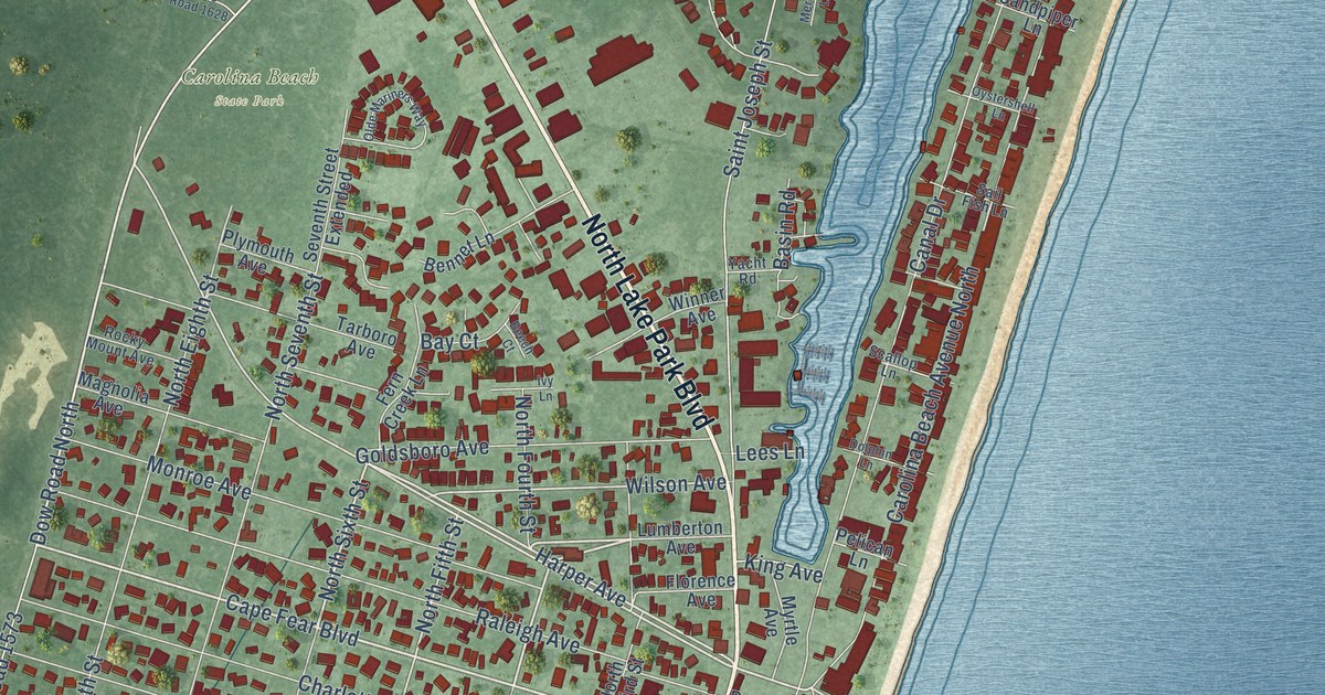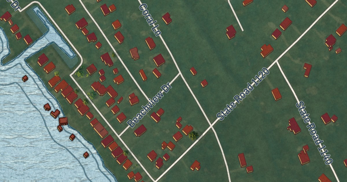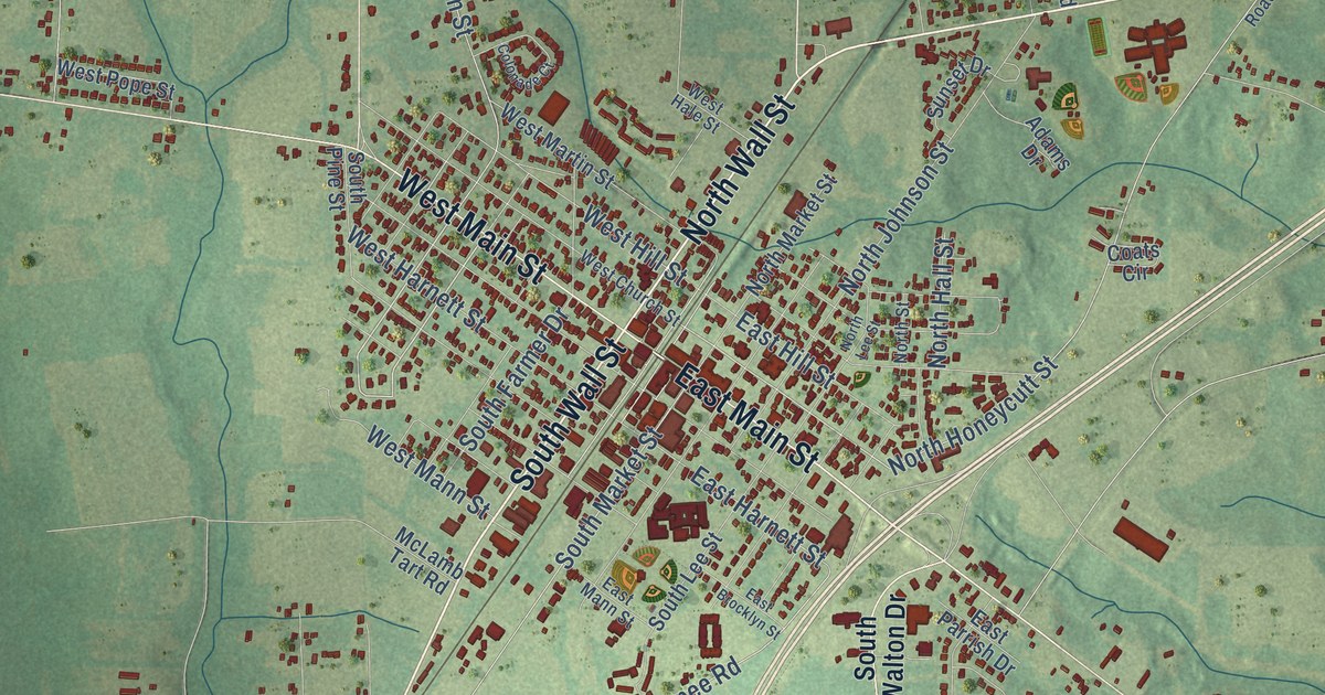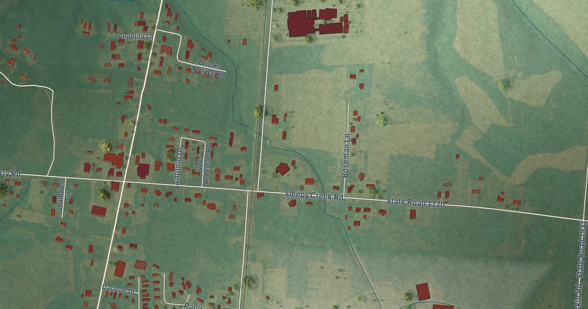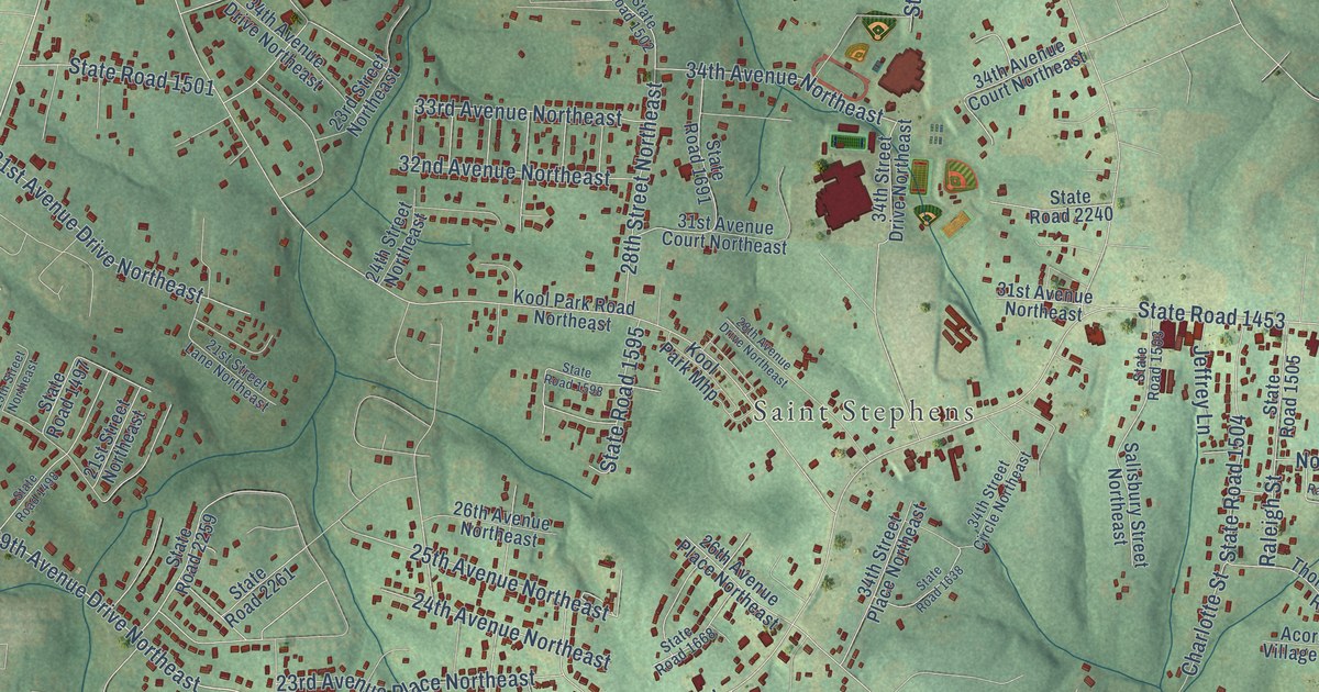
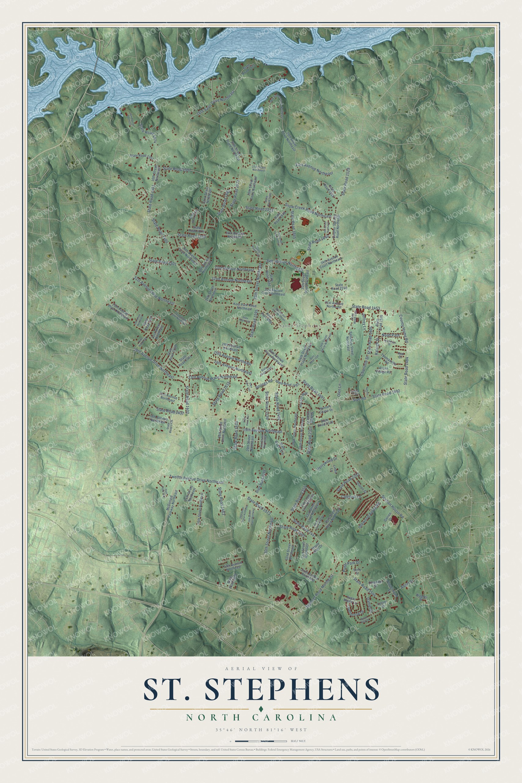
This beautifully detailed map of St. Stephens, North Carolina was created in 2026 using aerial imagery combined with modern topographical, census, street and landmark data. It’s a one-of-a-kind view of St. Stephens that combines accurate data with a vintage aesthetic. The map shows every building in its true location, many of the roads carry their names, and the shaded topographic relief shows the shape of the land.
Explore an aerial view of St. Stephens, North Carolina
On the map you’ll find State Road 1402, 19th Avenue Northeast, State Road 1437, State Road 1401, 16th Saint Drive Northeast, Twelfth Avenue Drive Northeast, State Road 1463, 24th Avenue Northeast, State Road 1491, State Road 1441, State Road 1453, and more. If you look closely you can even find your house accurately drawn in its correct location. Zoom in on the preview to look for yours.
Did you know this piece of St. Stephens, North Carolina history?
From the Catawba County Parks: "The Catawba County Park System grew further with the opening of St Stephens Park in December of 2008."
Take a closer look at the St. Stephens map
Street and place names on the St. Stephens, North Carolina map
These names are printed on the map of St. Stephens, North Carolina.
Places: Saint Stephens.
Streets and roads: State Road 1402, 19th Avenue Northeast, State Road 1437, State Road 1401, 16th Saint Drive Northeast, Twelfth Avenue Drive Northeast, State Road 1463, 24th Avenue Northeast, State Road 1491, State Road 1441, State Road 1453, 28th Street Northeast.
More street names, A to Z
16th Street Northeast, 18th Avenue Northeast, 19th Street Northeast, 21st Avenue Northeast, 21st Street Lane Northeast, 21st Street Northeast, 22nd Street Northeast, 23rd Avenue Place Northeast, 23rd Street Northeast, 24th Street Northeast, 25th Avenue Northeast, 25th Street Northeast, 25th Street Place Northeast, 26th Avenue Northeast, 26th Avenue Place Northeast, 26th Street Court Northeast, 26th Street Drive Northeast, 26th Street Northeast, 27th Street Northeast, 28th Avenue Drive Northeast, 28th Street Circle Northeast, 28th Street Place Northeast, 29th Avenue Drive Northeast, 29th Avenue Place Northeast, 29th Street Drive Northeast, 29th Street Northeast, 29th Street Place Northeast, 30th Street Northeast, 31st Avenue Court Northeast, 31st Avenue Drive Northeast, 31st Avenue Northeast, 31st Street Lane Northeast, 31st Street Northeast, 32nd Avenue Northeast, 32nd Street Court Northeast, 32nd Street Northeast, 33rd Avenue Northeast, 33rd Street Lane Northeast, 33rd Street Northeast, 34th Avenue Court Northeast, 34th Avenue Drive Northeast, 34th Avenue Northeast, 34th Street Circle Northeast, 34th Street Drive Northeast, 34th Street Lane Northeast, 34th Street Northeast, 34th Street Place Northeast, 35th Street Northeast, 35th Street Place Northeast, 36th Avenue Northeast, 36th Street Northeast, 43rd Avenue Northeast, 46th Avenue Northeast, Acorn Village Road, Adam Street, Charlotte Street, Colonial Lane, County Home Road, Daniel Street, Fifth Avenue Northeast, Garren Drive, Healthy Trail, Hounds Way, Hunters Chase Drive, Idlewood Acres Road, Jeffrey Lane, Kool Park Mhp, Kool Park Road Northeast, Lester Street, Linda Lane, Maple Glen Drive, McDonald Parkway Northeast, Noah Path, Oleander Drive, Olen Lane, Overbrook Drive, Pepperwood Street, Perrywood Drive, Puett Park Drive, Rad Drive, Raleigh Street, Randleman Street, Salisbury Street Northeast, Section House Road, Sharon Street, Sipe Road, Sixth Avenue Northeast, Snow Creek Road Northeast, Spencer Road Northeast, Springs Road, State Road 1400, State Road 1436, State Road 1442, State Road 1484, State Road 1492, State Road 1493, State Road 1494, State Road 1495, State Road 1497, State Road 1498, State Road 1501, State Road 1502, State Road 1503, State Road 1504, State Road 1505, State Road 1507, State Road 1529, State Road 1530, State Road 1533, State Road 1539, State Road 1544, State Road 1573, State Road 1574, State Road 1576, State Road 1595, State Road 1598, State Road 1599, State Road 1607, State Road 1611, State Road 1615, State Road 1638, State Road 1640, State Road 1645, State Road 1648, State Road 1658, State Road 1668, State Road 1674, State Road 1675, State Road 1682, State Road 1691, State Road 1696, State Road 2201, State Road 2212, State Road 2240, State Road 2259, State Road 2261, State Road 2273, State Road 2274, State Road 2299, State Road 2301, State Road 2316, State Road 2317, State Road 2350, Steeple Chase Drive, Sugar Maple Lane, Sulphur Springs Road Northeast, Summit Circle, Terry Street, Thomasville Road, Wagner Street, Willow Ridge Street.
See the St. Stephens, North Carolina map on a wall
The St. Stephens map as an 18 x 24 inch print in a black frame.

This beautifully detailed map of St. Stephens makes an attractive addition to your office, library, or den, and it can even be used to teach children the geography and history of the area. It also makes a great gift for anyone with St. Stephens roots. When you’re done exploring, click here to get your copy of the St. Stephens map.