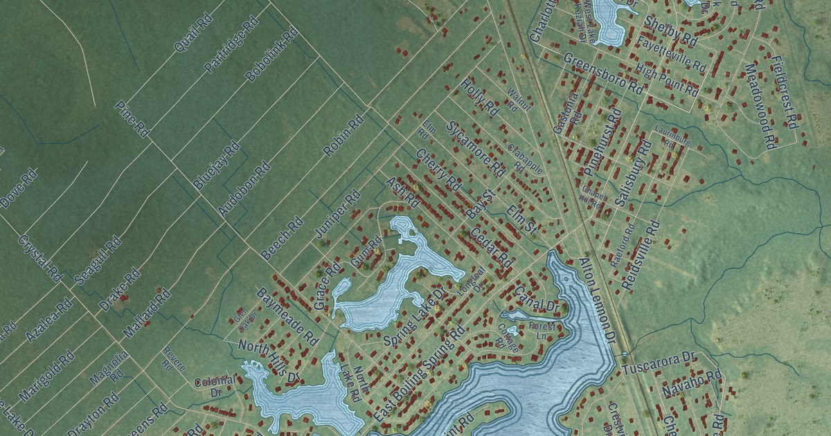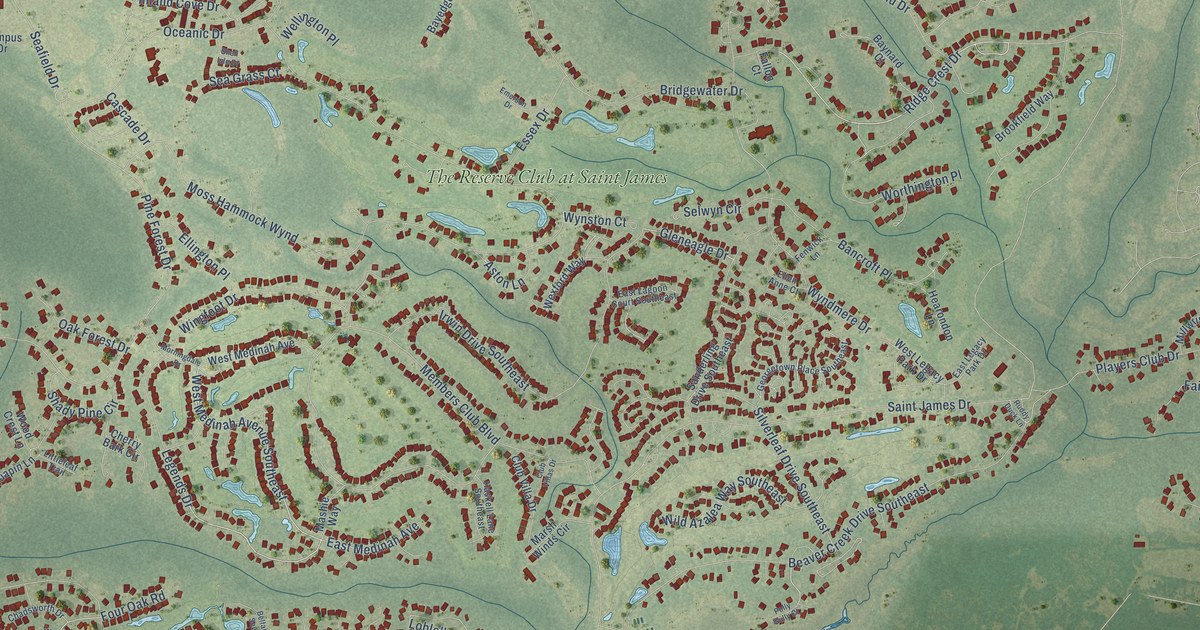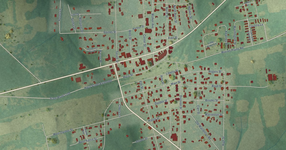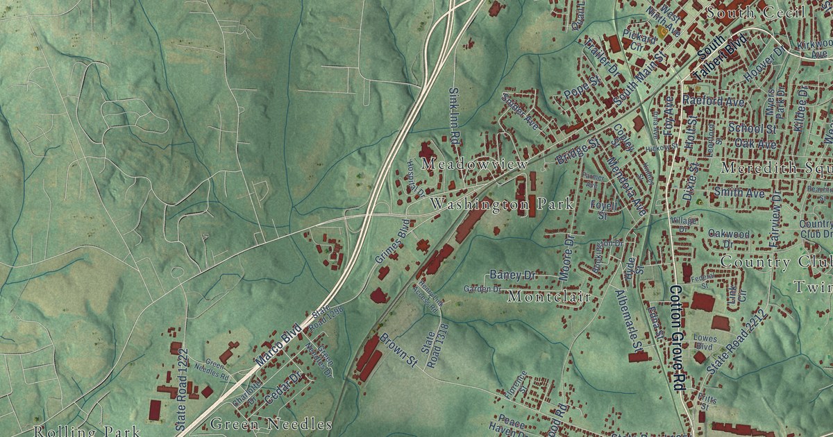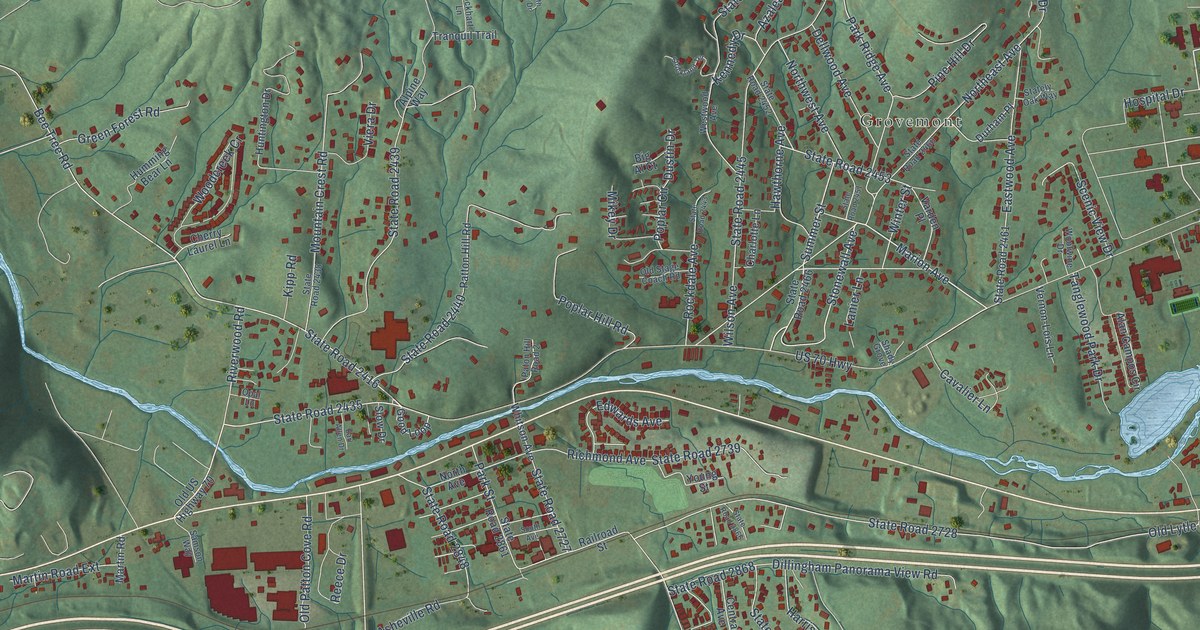
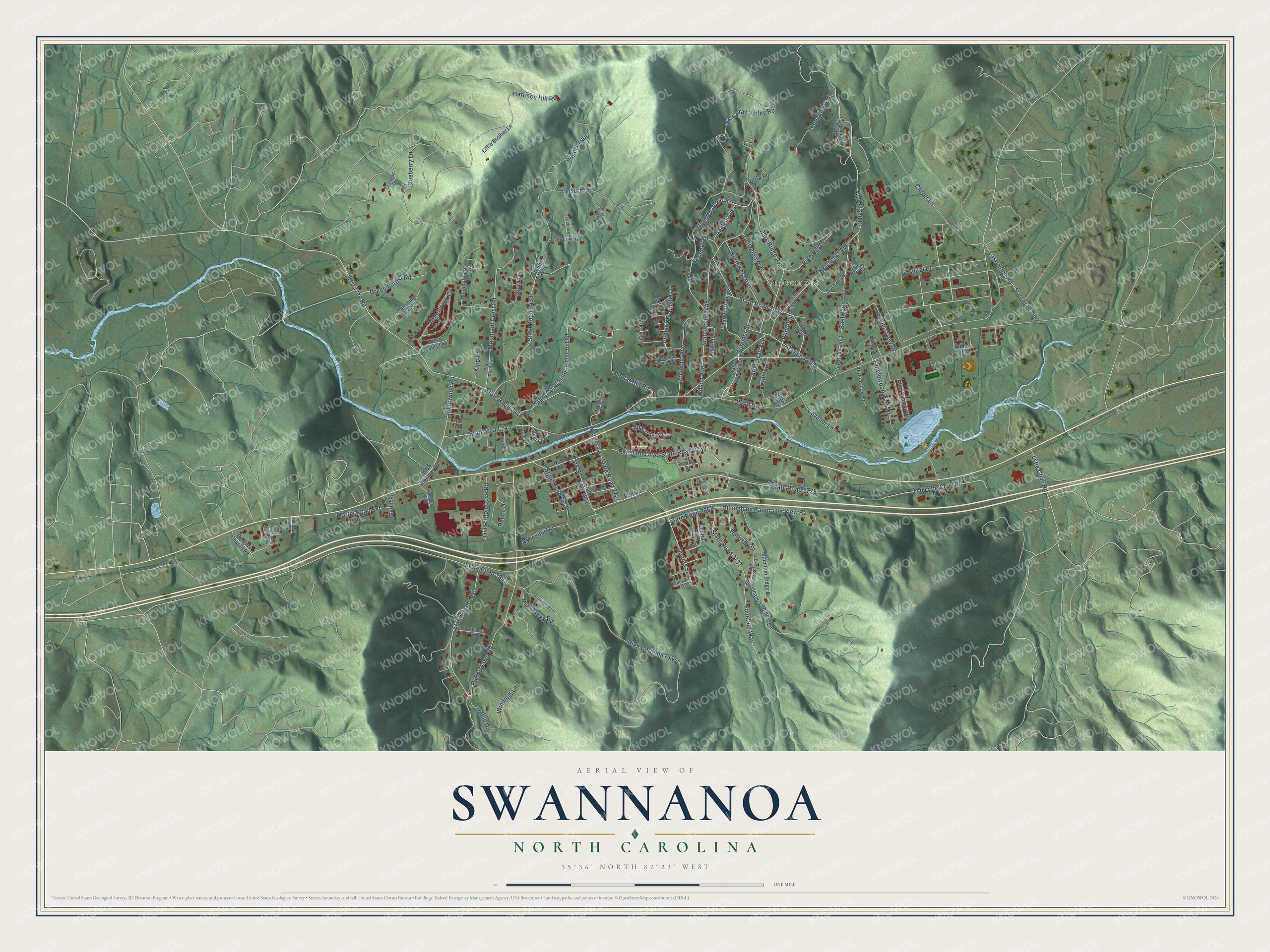
This beautifully detailed map of Swannanoa, North Carolina was created in 2026 using aerial imagery combined with modern topographical, census, street and landmark data. It's a modern aerial view of Swannanoa in Buncombe County, North Carolina, that combines modern data with a vintage aesthetic. The roads feature printed names, and if you look closely you can find your exact house accurately shown in its correct location.
Explore an aerial view of Swannanoa, North Carolina
On this map you'll find Grovemont, Stonewall Avenue, Marion Avenue, State Road 2435, Summer Street, Bee Tree Road, Park Ridge Avenue, State Road 2728, State Road 2416, State Road 2445, Leisure Lane, State Road 2453, and more. Each red shape is a building, so zoom in on the preview and look for yours.
Here is a piece of Swannanoa history, in the words of the record. The North Carolina Gazetteer puts it this way: "Swannanoa community in SE Buncombe County. Named for the river on which it is located. Known first as Cooper for A. D. Cooper, owner of the land on which it developed. Produces textiles and wearing apparel. Warren Wilson College is there."
Swannanoa is a community in Buncombe County. The Census Bureau counted 5,021 people here in 2020.
Take a closer look at the Swannanoa map
Names on this map
These names are printed on this map.
Places: Grovemont.
Streets and roads: Stonewall Avenue, Marion Avenue, State Road 2435, Summer Street, Bee Tree Road, Park Ridge Avenue, State Road 2728, State Road 2416, State Road 2445, Leisure Lane, State Road 2453, State Road 2848.
More street names, A to Z
Alamance Lane, Alan Campos Circle, Alpine Way, Asheville Road, Azalea Avenue, Big Al Court, Blueberry Lane, Brittmore Place, Burgins Chapel Road, Cavalier Lane, Central Avenue, Charlotte Lane, Cherry Laurel Lane, Chestnut Drive, Clover Lane, Dellwood Avenue, Dennis Street, Dew Drop Road, Dillingham Panorama View Road, Durham Place, Dustin Drive, Earl Allen Drive, Eastwood Avenue, Edwards Avenue, Elizabeth Crocket Drive, Fountain Way, Getaway Drive, Gibbs Street, Good Loop, Green Forest Road, Harrison Hill Road, Harrison Street, Hawthorne Avenue, High Carolina Parkway, Hope View Road, Hospital Drive, Humming Bear Lane, Huntington Drive, Kennedy Drive, Kipp Road, Lake Eden Road, Lanier Lane, Little Brother Lane, Lockhart Lane, Lytle Cove Road, Martin Road, Martin Road Extension, Mikey Drive, Mountain Crest Road, Mountain Ridge Drive, New Valley Road, North Avenue, Northeast Avenue, Northwest Avenue, Old Lytle Cove Road, Old Patton Cove Road, Old Stage Coach Road, Old US Highway 70, Opal Lane, Park Street, Paton Hill Road 2, Patton Cove Road, Patton Hill Road, Pine Hill Drive, Poplar Circle, Poplar Hill Road, Railroad Street, Reece Drive, Richmond Avenue, Riverwood Road, Rockdale Avenue, Rocky Creek Trail, Samson Way, Sassafras Valley Road, Scenic View Drive, Shady Grove, Simms Trail, Slow Drive, South Avenue, Stately Oak Way, State Road 2438, State Road 2439, State Road 2440, State Road 2443, State Road 2446, State Road 2451, State Road 2452, State Road 2460, State Road 2461, State Road 2466, State Road 2468, State Road 2727, State Road 2730, State Road 2731, State Road 2739, State Road 2740, State Road 2744, State Road 2843, State Road 2861, State Road 2866, State Road 2868, Stone Drive, Strickland Terrace, Swannanoa Heights Drive, Tanglewood Park Drive, Tranquil Trail, Uphill Road, US 70 Highway, Varden Place, Vernon-Lois Lane, Viera Drive, Viola Lane, Westwood Avenue, Whitson Avenue, Wilson Avenue, Windmill Lane, Winter Street, Woodcreek Cr, Woodland Drive, Woolwine Drive, Young Street.
Created by KNOWOL in 2026. The buildings are small red shapes, the roads carry their printed names, and shaded relief shows the shape of the land. The title panel reads "AERIAL VIEW OF SWANNANOA NORTH CAROLINA" with 35°36' NORTH 82°23' WEST.
It suits a den, a classroom or a front hall, and it makes a gift for anyone with Swannanoa roots. Open the preview and find the block you know. See sizes and frames for the Swannanoa map.