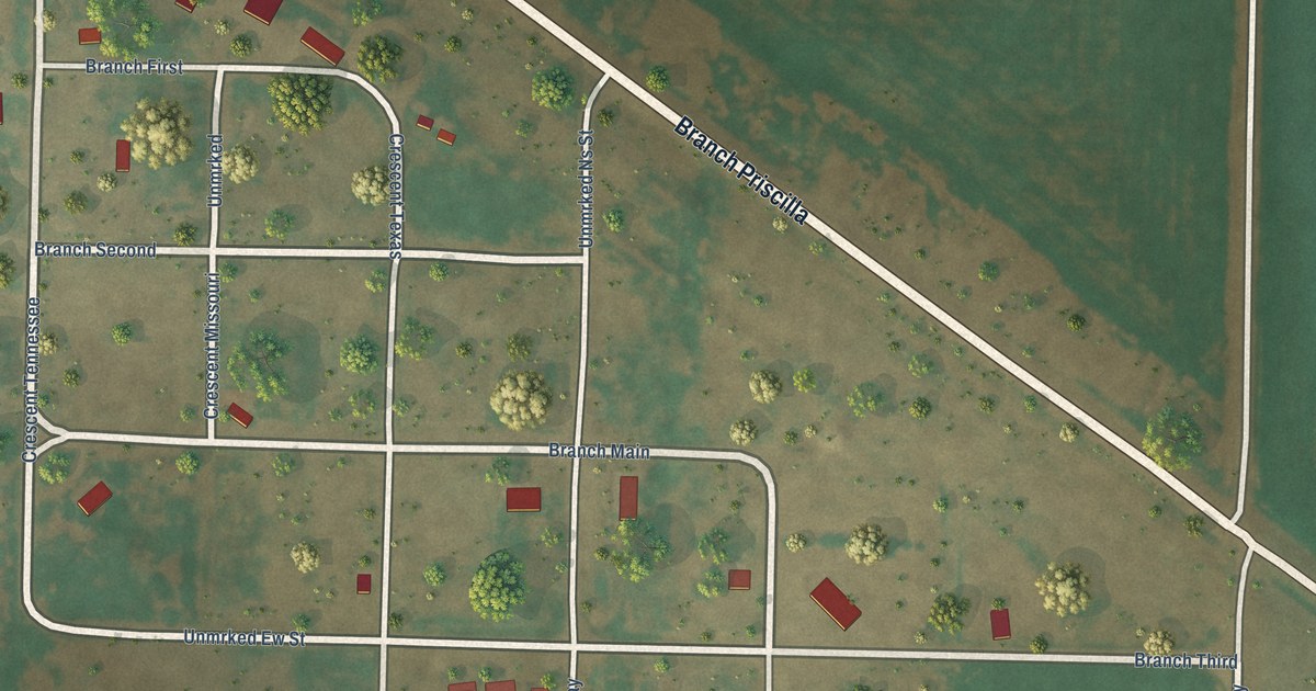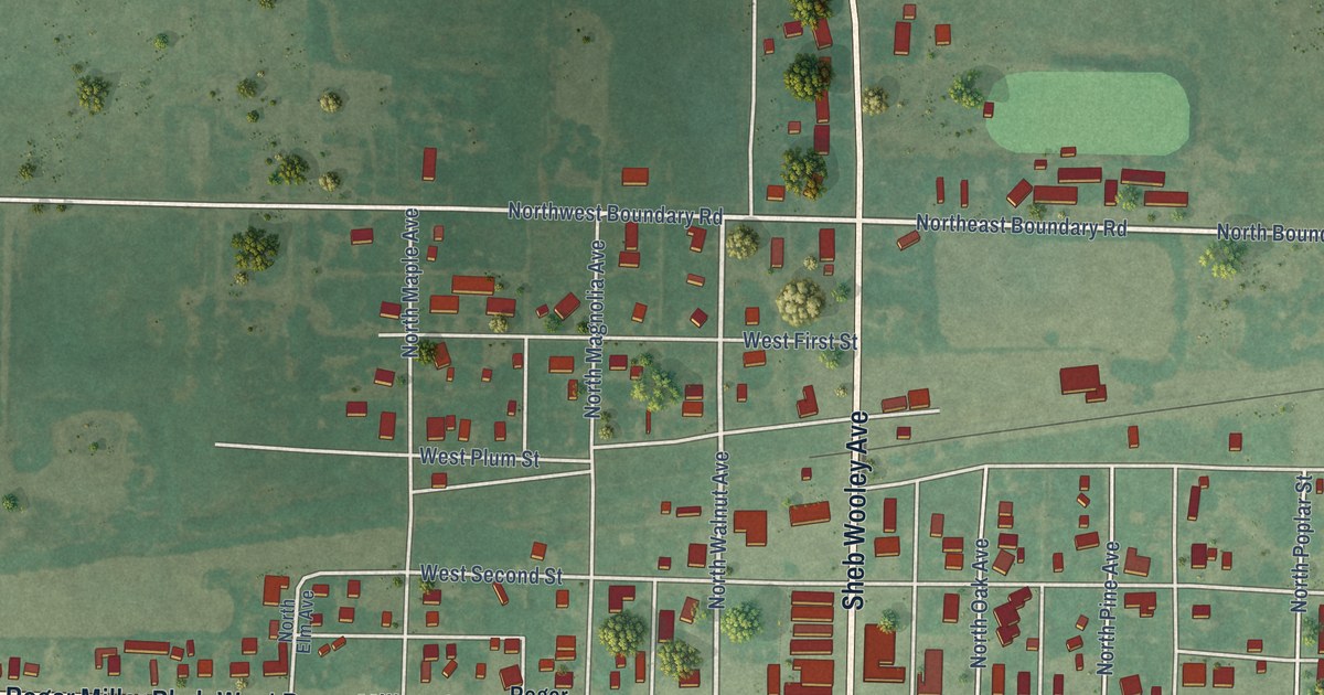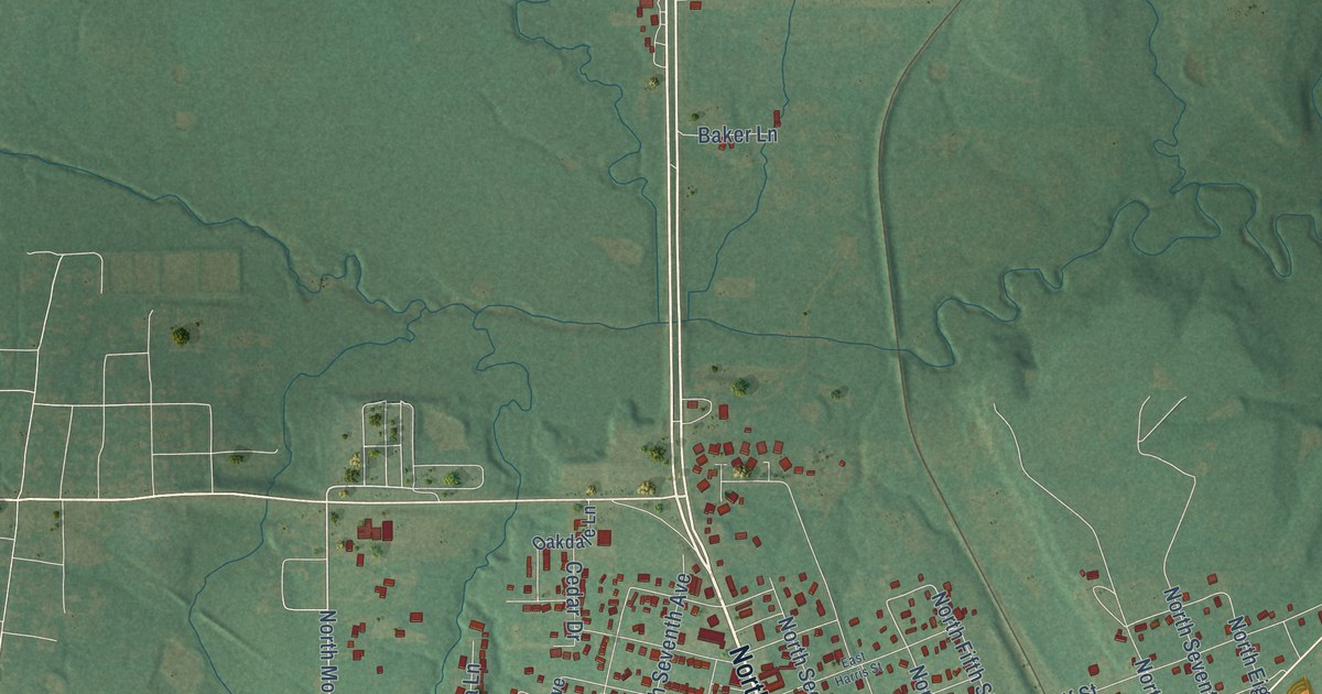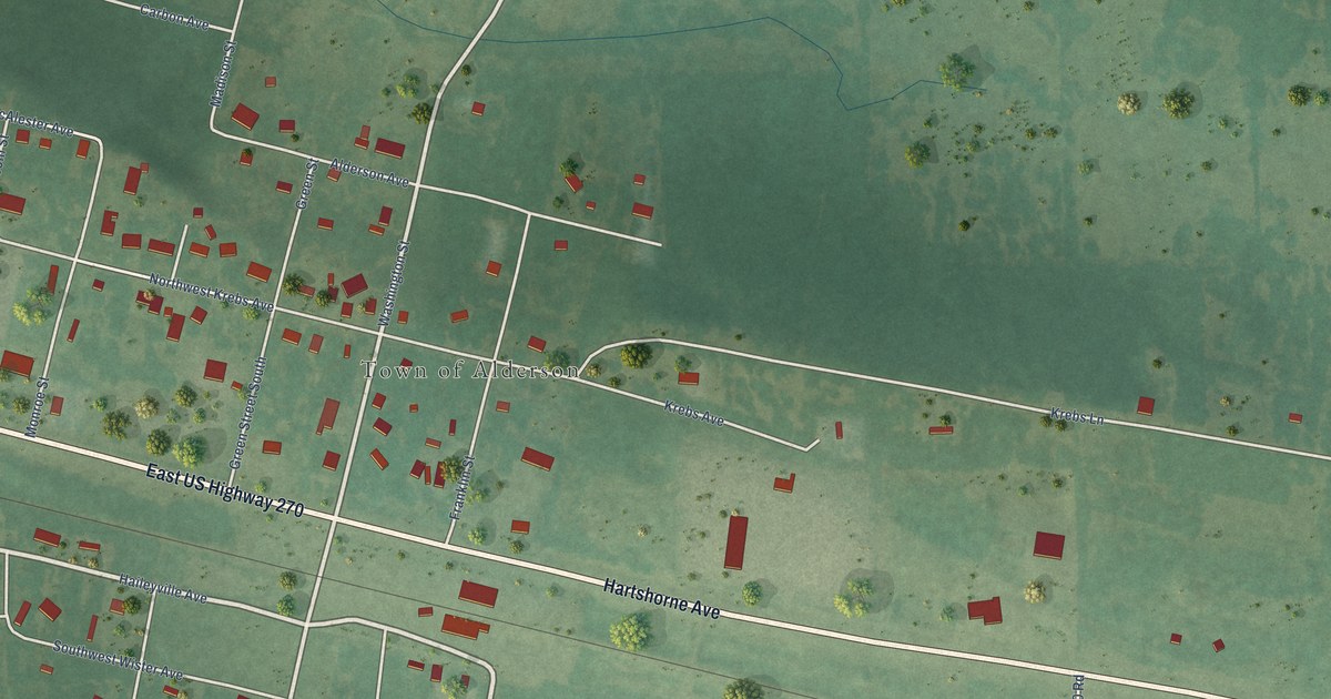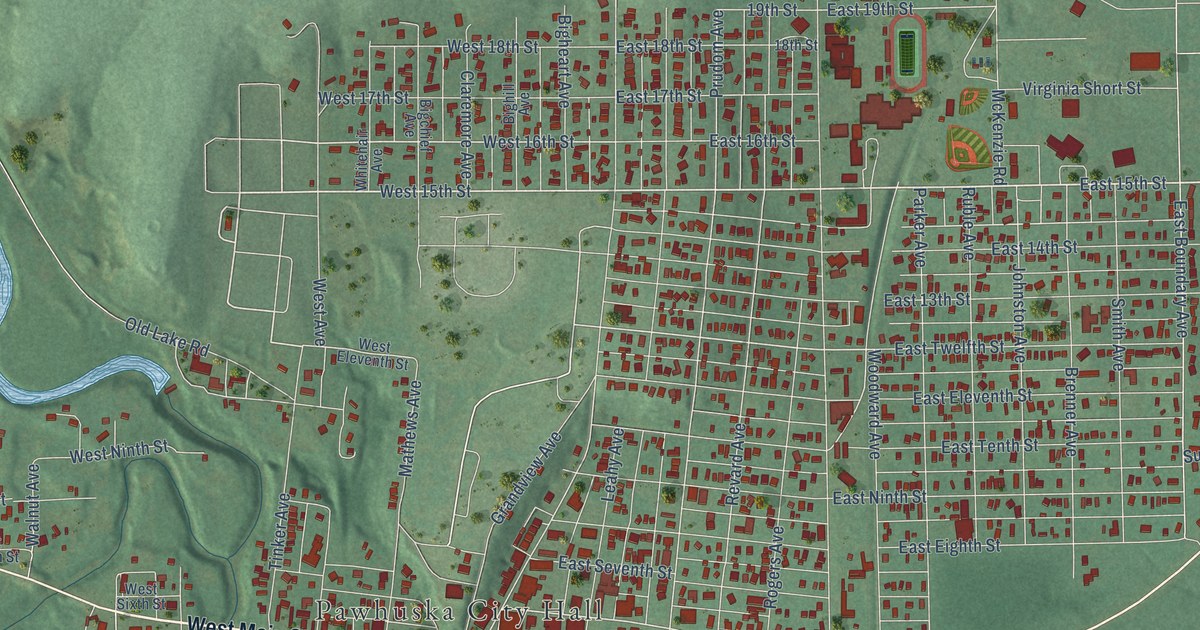
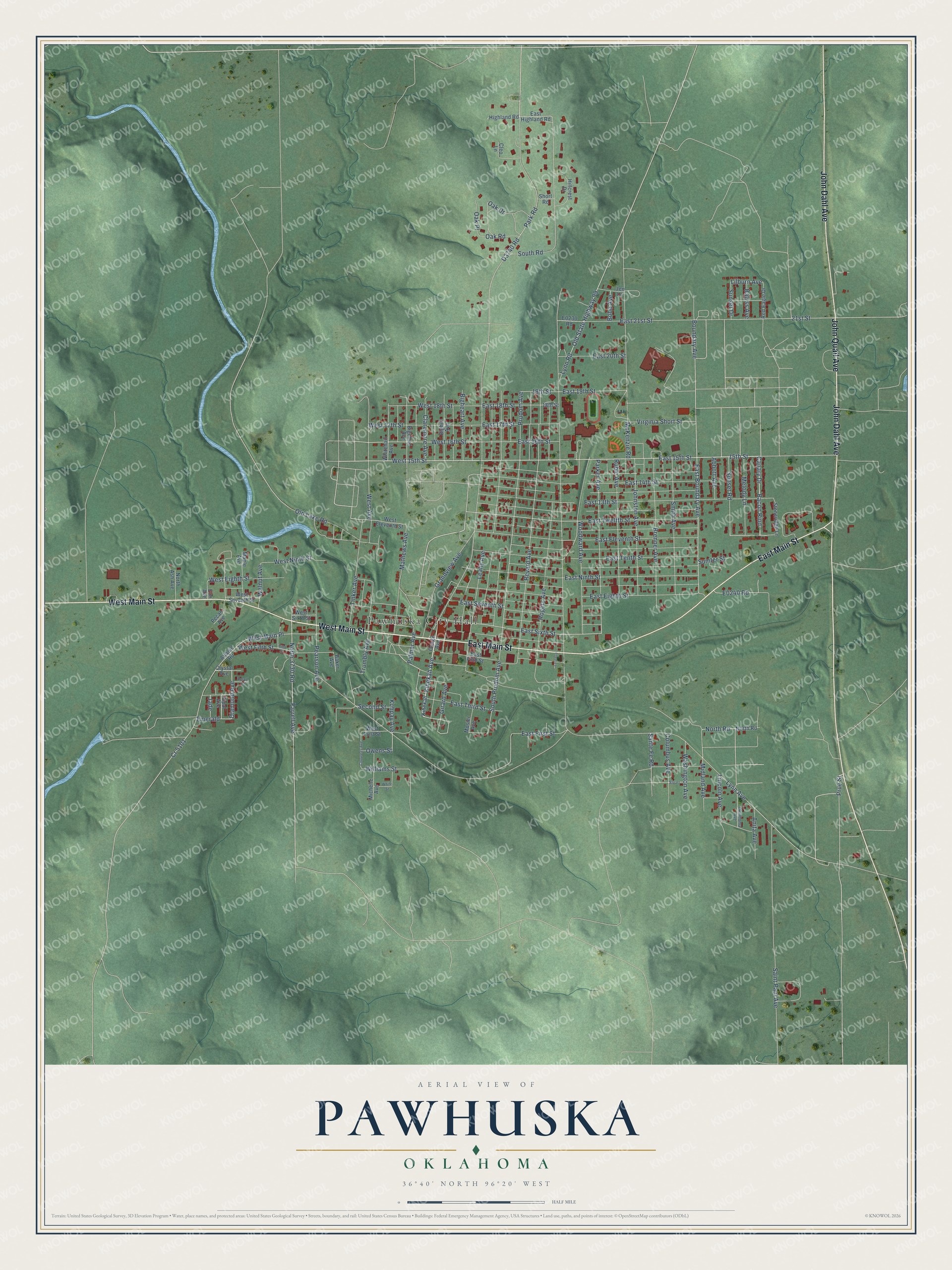
This beautifully detailed map of Pawhuska, Oklahoma was created in 2026 using aerial imagery combined with modern topographical, census, street and landmark data. It's a modern aerial view of Pawhuska in Osage County, Oklahoma, that combines modern data with a vintage aesthetic. The roads feature printed names, and if you look closely you can find your exact house accurately shown in its correct location.
Explore an aerial view of Pawhuska, Oklahoma
On this map you'll find Pawhuska City Hall, West Main Street, John Quail Avenue, East Main Street, John Dahl Avenue, East 15th Street, Kihekah Avenue, West 15th Street, Bacon Rind, Canary Drive, Old State Highway 99, East Twelfth Street, and more. Each red shape is a building, so zoom in on the preview and look for yours.
Every town has a first chapter, and Pawhuska is no exception. The record at okhistory.org puts it this way: "The settlement was named in honor of Paw-Hiu-Skah (White Hair), chief of the Thorny Valley People, one of the tribe's five physical divisions, who dwelled nearby."
Pawhuska is a city in Osage County.
Take a closer look at the Pawhuska map
Names on this map
These names are printed on this map.
Places: Pawhuska City Hall.
Streets and roads: West Main Street, John Quail Avenue, East Main Street, John Dahl Avenue, East 15th Street, Kihekah Avenue, West 15th Street, Bacon Rind, Canary Drive, Old State Highway 99, East Twelfth Street, West 16th Street.
More street names, A to Z
15th Street, 18th Street, 19th Street, 21st Street, Abbott Avenue, Anita Avenue, Atlanic Road, Baker Avenue, Balyss Avenue, Bigchief Avenue, Bigheart Avenue, Bighill Avenue, Bobo Avenue, Boundary Avenue, Brenner Avenue, Chouteau Avenue, Claremore Avenue, Cleo Lane, Columbus Avenue, Cr 5101, Crystal Avenue, Diamond Avenue, East 13th Street, East 14th Street, East 16th Street, East 17th Street, East 18th Street, East 19th Street, East 20th Street, East 21st Street, East Boundary Avenue, East Eighth Street, East Eleventh Street, East Fifth Street, East First Street, East Highland Road, East Ninth Street, East Seventh Street, East Sixth Street, East Tenth Street, East Third Street, Elm Avenue, Emerald, Farrell Avenue, Fifth Street, Girard Avenue, Grandview Avenue, Highland Road, Hillcrest Drive, Jade, Jen Lane, Johnston Avenue, Kihekah, Kohpay Avenue, Larence, Leahy Avenue, Lilburn Avenue, Lincoln Avenue, Lynn Avenue, Lynn Road, Maple Avenue, Mathews Avenue, McKenzie Road, Melody Lane, Michelle Avenue, Midland Avenue, Mosier Avenue, North 3730 Road, North Ash Avenue, North Road, Oak Drive, Oak Place, Oak Road, Oklahoma Avenue, Old Lake Road, Opal Avenue, Osage Avenue, Owens Street, Palmer Avenue, Parker Avenue, Park Road, Pearl Court, Pearson Avenue, Pecan Avenue, Prudom Avenue, Prue Street, Red Eagle Drive, Revard Avenue, Rogers Avenue, Ruble Avenue, Saint Paul Avenue, Sante Fe Road, Second Street, Short Road, Smith Avenue, South Prudom Avenue, South Road, Stoneridge Lane, Stuart, Sumter Street, Sunset Drive, Sunset Road, Tinker Avenue, Trumbly Avenue, Virginia Short Street, Walnut Avenue, Washington Avenue, West 17th Street, West 18th Street, West Avenue, West Eighth Street, West Eleventh Street, West Fifth Street, West First Street, West Main Place, West Ninth Street, West Seventh Street, West Sixth Street, Whitehair Avenue, White Street, Williams Street, Woodward Avenue.
Created by KNOWOL in 2026. The buildings are small red shapes, the roads carry their printed names, and shaded relief shows the shape of the land. The title panel reads "AERIAL VIEW OF PAWHUSKA OKLAHOMA" with 36°40' NORTH 96°20' WEST.
Hang it in the hallway, the office or the cabin, or give it to someone who left Pawhuska and still calls it home. Open the preview and look for a street you know. See sizes and frames for the Pawhuska map.