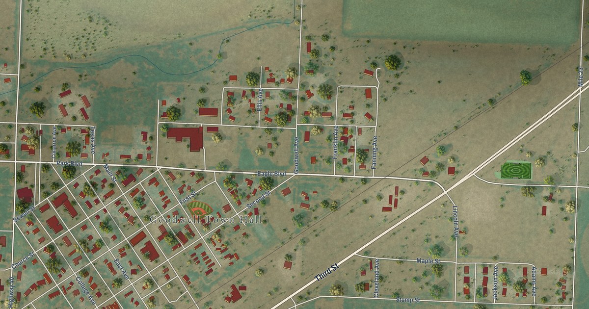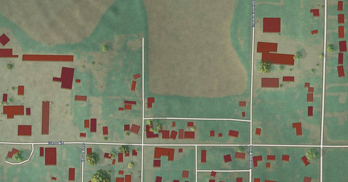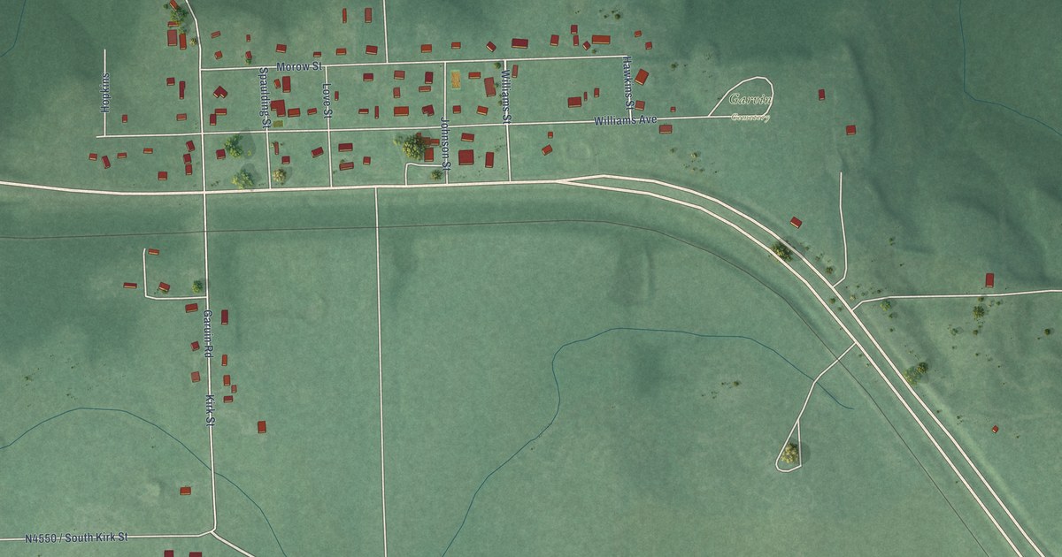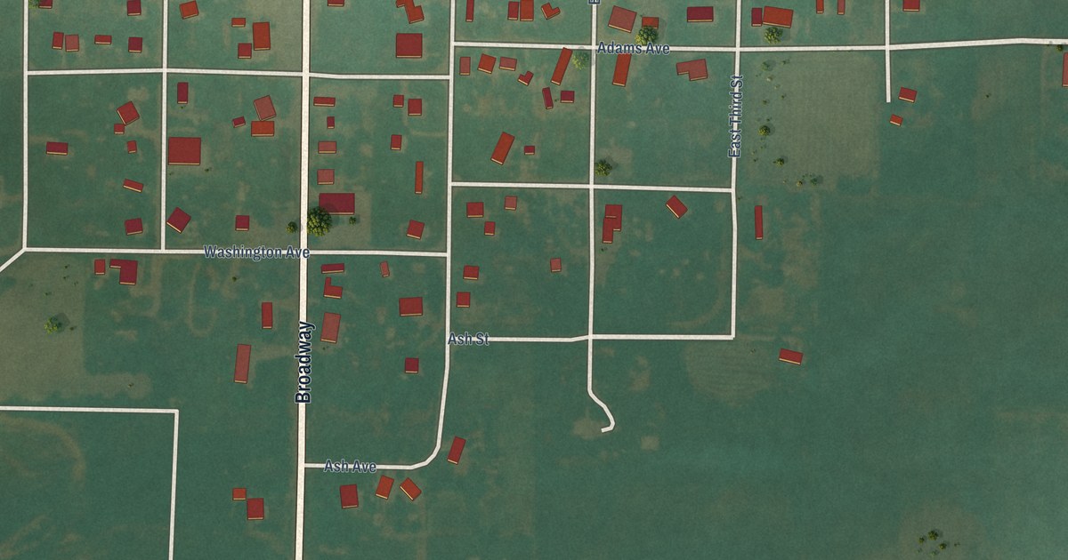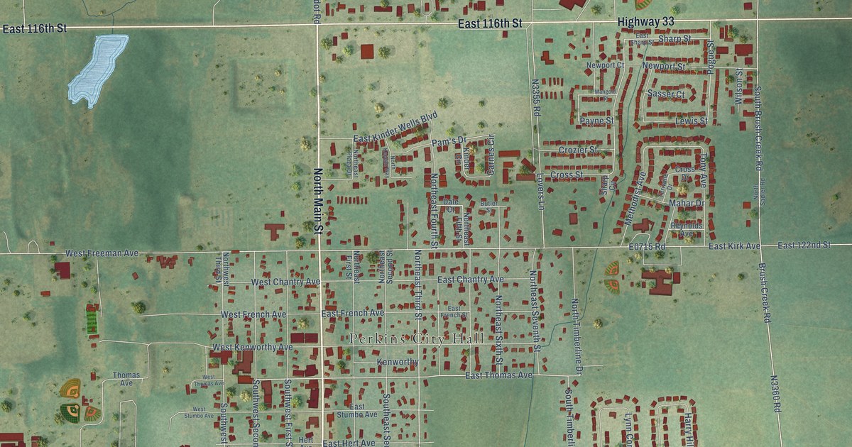
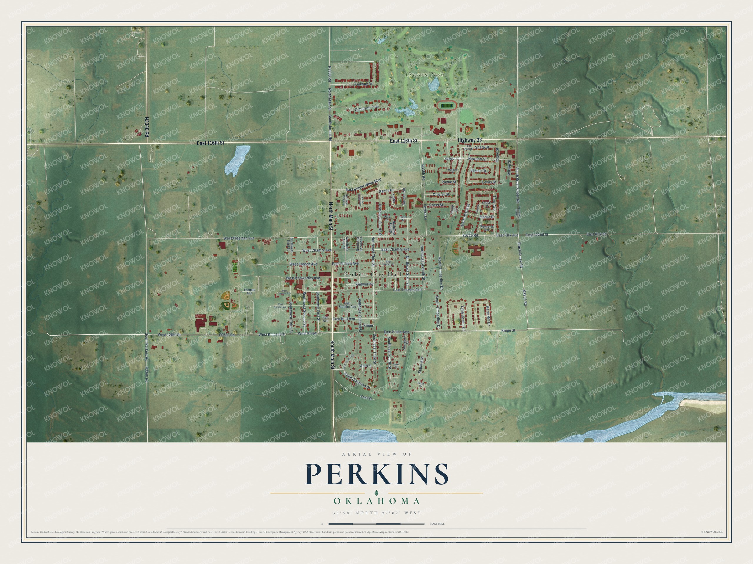
This beautifully detailed map of Perkins, Oklahoma was created in 2026 using aerial imagery combined with modern topographical, census, street and landmark data. It's a modern aerial view of Perkins in Payne County, Oklahoma, that combines modern data with a vintage aesthetic. The roads feature printed names, and if you look closely you can find your exact house accurately shown in its correct location.
Explore an aerial view of Perkins, Oklahoma
On this map you'll find Perkins City Hall, Cimarron Trails, North Main Street, South Main Street, Highway 33, East 116th Street, N3340 Road, E0720 Road, West 128th Street, South Cimarron Drive, Southeast Third Street, East Thomas Avenue, and more. Each red shape is a building, so zoom in on the preview and look for yours.
Every town has a first chapter, and Perkins is no exception. The record at okhistory.org puts it this way: "The first wagon bridge across the Cimarron River in Oklahoma Territory was built at Perkins during the summer of 1891."
Perkins is a city in Payne County.
Take a closer look at the Perkins map
Names on this map
These names are printed on this map.
Places: Perkins City Hall and Cimarron Trails.
Streets and roads: North Main Street, South Main Street, Highway 33, East 116th Street, West 128th Street, South Cimarron Drive, Southeast Third Street, East Thomas Avenue, West Knipe, Southwest Third Street, Fairway Drive, Northeast Third Street.
More street names, A to Z
Brush Creek Road, Butler Street, Carnes Circle, Carol Court, Cimarron Trail, Cross Drive, Cross Street, Crozier Street, Dale Court, East 122nd Street, East Chantry Avenue, East French Avenue, East French Street, East Hert Avenue, East Kinder Wells Boulevard, East Kirk Avenue, East Kirk Street, East Knipe Avenue, East Sharp Street, East Street, East Stumbo Avenue, Eaton Avenue, Eaton Drive, Harry Hill Drive, Hert Avenue, Kenworthy, Kinder Circle, Knipe, Knipe Street, Lewis Street, Lovers Lane, Lynn Combs Cr, Mahar Drive, Mangold Street, Methodist Avenue, Newport Court, Newport Street, North Cimarron Drive, Northeast Fifth Street, Northeast First Street, Northeast Fourth Street, Northeast Plaza Drive, Northeast Second Street, Northeast Seventh Street, Northeast Sixth Street, North Keegan Way, North Sadler Road, North Timberline Drive, Northwest Third Street, Pam's Drive, Payne Street, Pogue Street, Reynolds Avenue, Sasser Court, Sharp Circle, Sharp Street, South Brush Creek Road, Southeast Fourth Street, Southeast Second Street, South Jardot Road, South Perkins Road, South Timberline Drive, Southwest First Street, Southwest Second Street, Stansbury Street, Teriwine Drive, Thomas Avenue, Tony Avenue, Wells Street, West Chantry Avenue, West Freeman Avenue, West French Avenue, West Kenworthy Avenue, West Knipe Avenue, West Stumbo Avenue, West Thomas Avenue, Wilson Street.
Created by KNOWOL in 2026. The buildings are small red shapes, the roads carry their printed names, and shaded relief shows the shape of the land. The title panel reads "AERIAL VIEW OF PERKINS OKLAHOMA" with 35°58' NORTH 97°02' WEST.
Hang it in the hallway, the office or the cabin, or give it to someone who left Perkins and still calls it home. Open the preview and look for a street you know. See sizes and frames for the Perkins map.