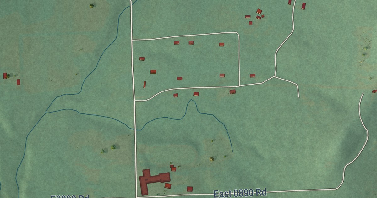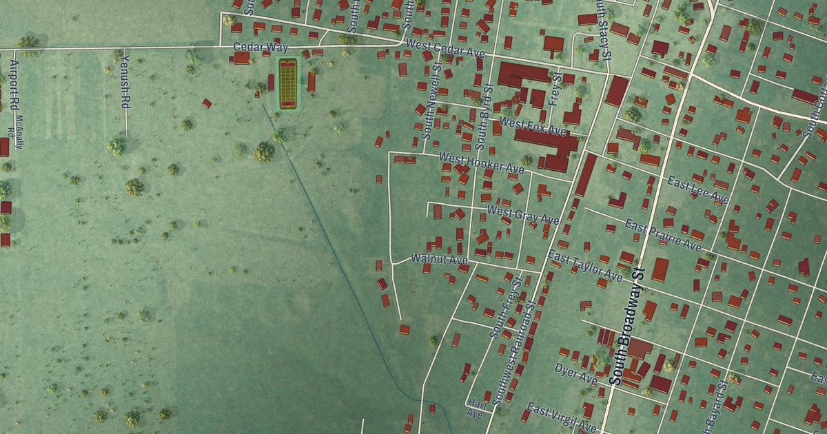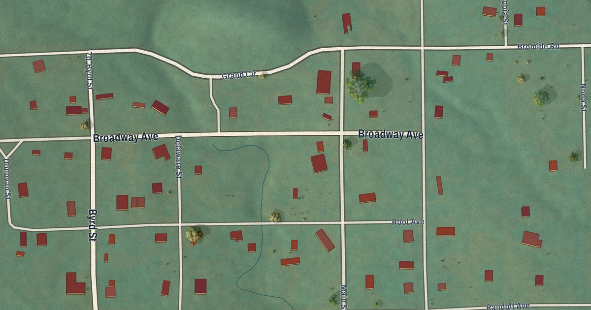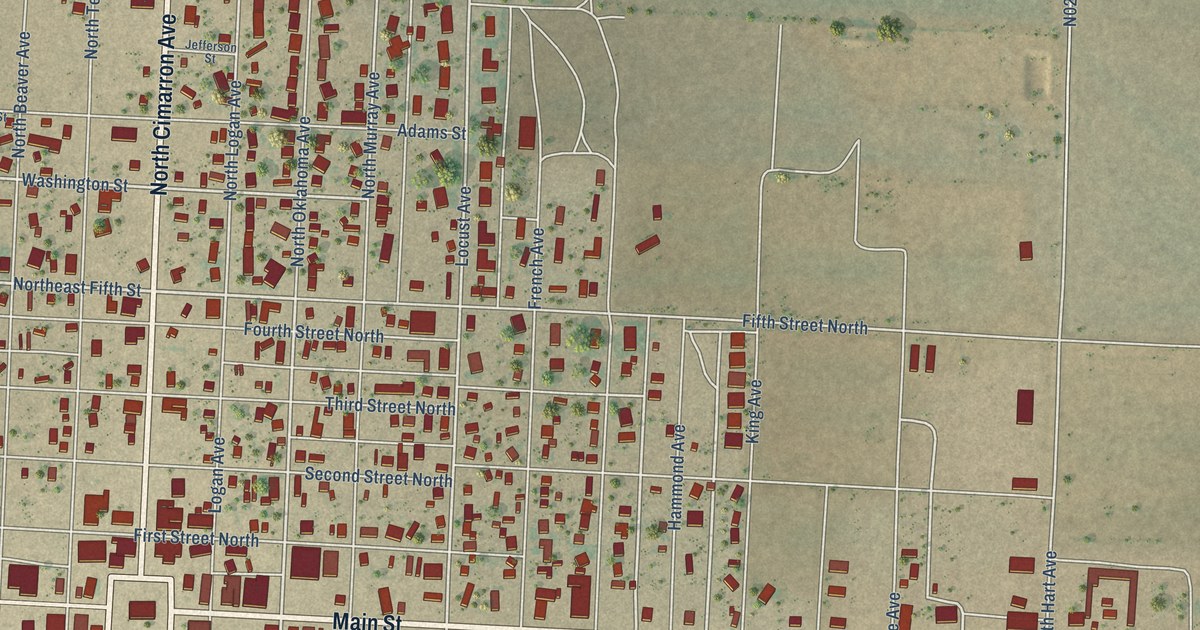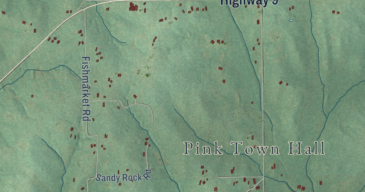
This beautifully detailed map of Pink, Oklahoma was created in 2026 using aerial imagery combined with modern topographical, census, street and landmark data. It’s a one-of-a-kind view of Pink that combines accurate data with a vintage aesthetic. The map shows every building in its true location, many of the roads carry their names, and the shaded topographic relief shows the shape of the land.
Explore an aerial view of Pink, Oklahoma
On the map you’ll find Pink Town Hall, North South 334, Ew Co Road 121, East 125, and New Hope, along with Highway 9, Patterson Road, E125 Road, Flight Lane, E1240 Road, Yellow Brick Road, Little River Road, and more. If you look closely you can even find your house accurately drawn in its correct location. Zoom in on the preview to look for yours.
Did you know this piece of Pink, Oklahoma history?
From Okhistory.org: "The Post Office Department designated a Pink post office in January 1894, but Joseph Fahnestock declined his appointment as postmaster, delaying the opening until February."
Pink is a town in Pottawatomie County.
Take a closer look at the Pink map
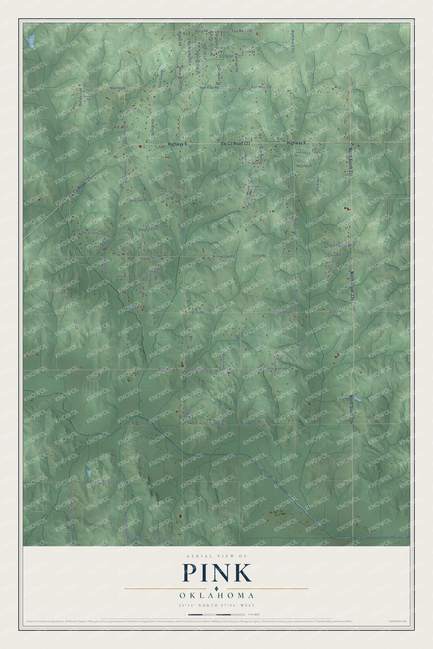
Street and place names on the Pink, Oklahoma map
These names are printed on the map of Pink, Oklahoma.
Places: Pink Town Hall.
Streets and roads: North South 334, Ew County Road 121, Highway 9, Patterson Road, East 125, Flight Lane, Yellow Brick Road, Little River Road, New Hope, Rattlesnake Hill Road, Pottawatomie Road, Hope Road.
More street names, A to Z
Austin Drive, Beau Lane, Betty Drive, Blackjack Lane, Blue Jay Lane, Brook Lane, Buffalo Trail, Cardinal Lane, Colt Lane, Country Lane, County Line Road, Covey Drive, Cross Road, East Hill Court, East Hill Drive, East West 119, East West 120, East West 128, Fishmarket Road, Forest Drive, Hawk Springs Drive, Heron Drive, Highland Lane, Highland Road, High Meadow Drive, High Ridge Lane, Hillside Drive, Hill Top Lane, Hunter Lane, Imogene Drive, Indian Springs Road, Jacob's Court, Luke Lane, Maple Leaf Circle, Mars Hill Road, Meadows Drive, Mystery Acres Lane, New Hope Road, North South 330, North South 330 Road, North South 331, North South 333, Ns County Road 333, Okay Road, Old Barn Road, Oneda Road, Opal Road, Pecan Valley Road, Pinehill Road, Pine Hill Road, Pink Lane, Quailwood Run, Red Tail Lane, Sandy Rock Road, Shady Lane, Skyridge Drive, Sky View Drive, Spring Creek Ests, Spring Valley Lane, Stevens Road, Sunrise Lane, Tarver Road, Thundering Hills, Turkey Hill, Viste Grande, Waco Road, Walker Road, White Tail Drive, Willow View Road, Woodchuck Road, Zoe Road.
See the Pink, Oklahoma map on a wall
The Pink map as an 18 x 24 inch print in a black frame.

This beautifully detailed map of Pink makes an attractive addition to your office, library, or den, and it can even be used to teach children the geography and history of the area. It also makes a great gift for someone who left Pink and still calls it home. When you’re done exploring, click here to get your copy of the Pink map.