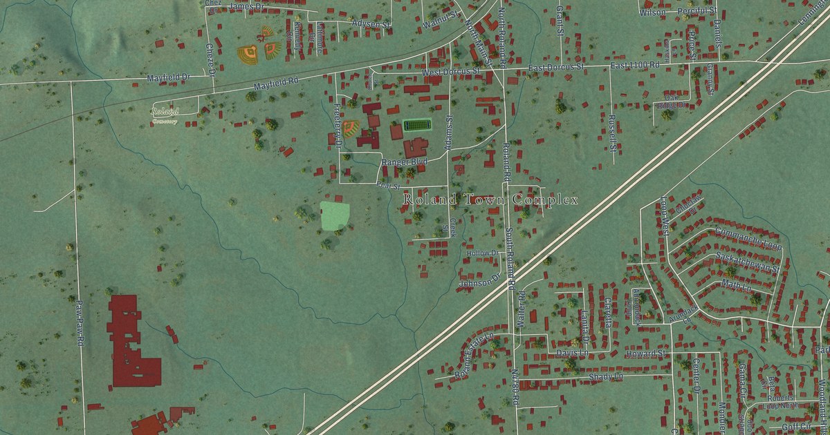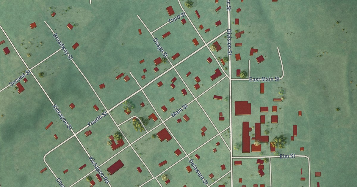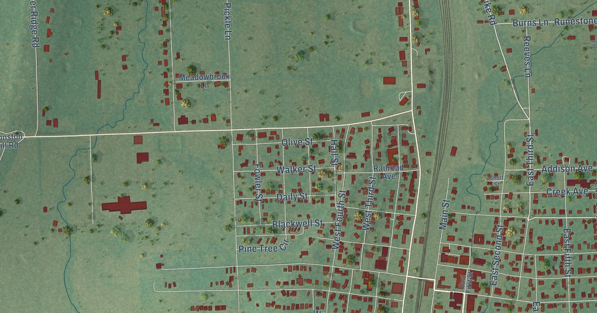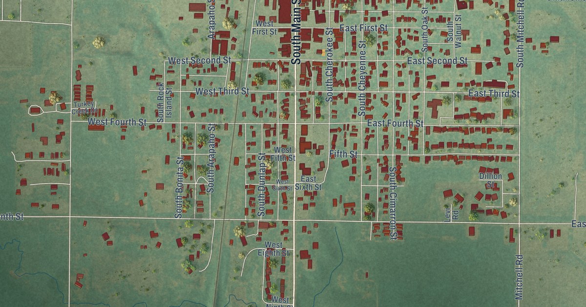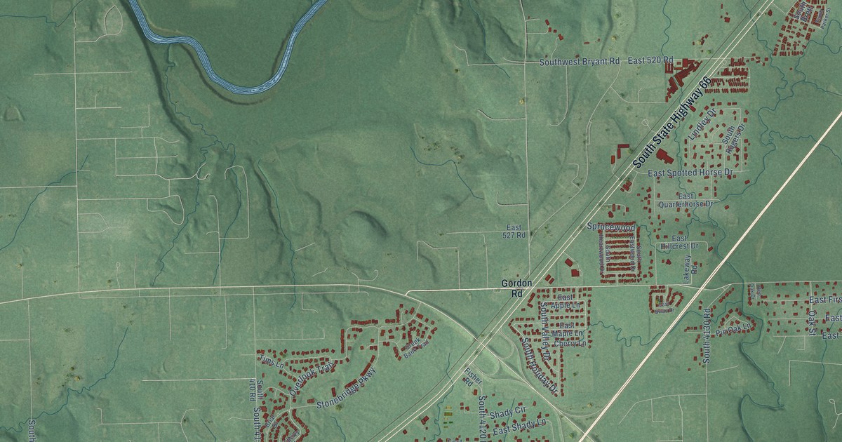
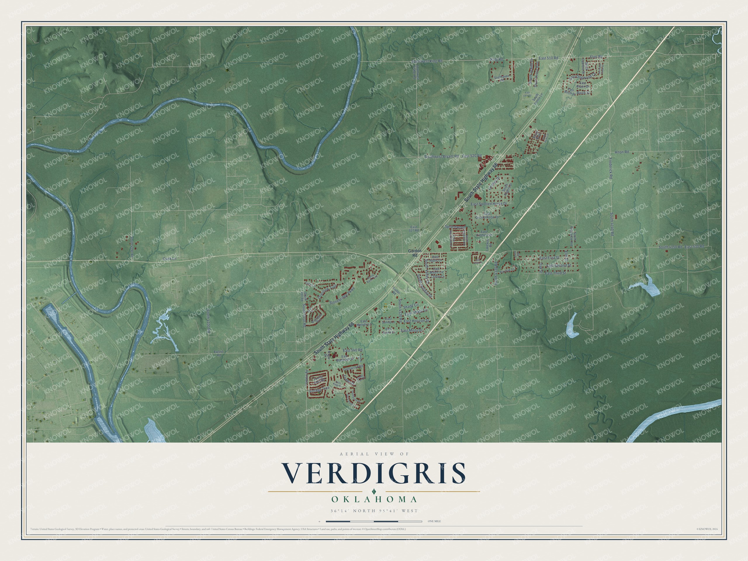
This beautifully detailed map of Verdigris, Oklahoma was created in 2026 using aerial imagery combined with modern topographical, census, street and landmark data. It's a modern aerial view of Verdigris in Rogers County, Oklahoma, that combines modern data with a vintage aesthetic. The roads feature printed names, and if you look closely you can find your exact house accurately shown in its correct location.
Explore an aerial view of Verdigris, Oklahoma
On this map you'll find South State Highway 66, East 530 Road, South Valley Drive, South Holiday Drive, Flint Road, East 510 Road, Lindley Drive, Southwest King Road, East 540 Road, East 520 Road, King Road, South 4120 Road, and more. Each red shape is a building, so zoom in on the preview and look for yours.
Verdigris has a story worth telling. The record at okhistory.org puts it this way: "As a rural community in the Cherokee Nation in the 1880s, it had a post office by March 12, 1880, which lasted until 1954."
Verdigris is a town in Rogers County.
Take a closer look at the Verdigris map
Names on this map
These names are printed on this map.
Streets and roads: South State Highway 66, East 530 Road, South Valley Drive, South Holiday Drive, Flint Road, East 510 Road, Lindley Drive, Southwest King Road, East 540 Road, East 520 Road, King Road, South 4120 Road.
More street names, A to Z
Alton Road, Birch Street, Blackberry Boulevard, Briar Drive, Cherry Lane, Cook Lane, Creek Bank Trail, Duckpond Drive, Duck Pond Lane, Dunnwood Road, East 527 Road, East Apple Lane, East Aspen Drive, East Birch Street, East Blackwell Street, East Dogwood Court, East First Street, East Hillcrest Drive, East Horizon Street, East Larry Street, East Maple Lane, East Melody Lane, East Misty Drive, East Quarterhorse Drive, East Second Street, East Shady Lane, East Spotted Horse Drive, East Sunny Drive, East Sunny Lane, East Swan Drive, East Third Street, Elm Street, Ew540 Road, Faulkner Drive, Fisher Road, Forest Glen Road, Foxen Drive, Franklin Road, Frederick Road, Gordon Road, Lakeway Road, Nagar Drive, Oak Street, Overlook Trail, Pin Oak Lane, Quail Ridge Road, Red Oak Drive, Shady Circle, South 410 Road, South 4090 Road, South 4100 Road, South 4110 Road, South 4130 Road, South 4140 Road, South 4150 Road, Southaven Road, South Bessie Boulevard, South Brett, South Cypress Street, South Donna Lane, South Eastwood Drive, South Heartwood Drive, South Jewell Drive, South Parker Street, South Plainview Avenue, South Rogers Drive, Southwest Bryant Road, Southwest Cedar Street, Southwest Fisher Road, Sprucewood, Stonebridge Parkway, Tims Lane, Vintage Trace Drive, Vintage Trce.
Created by KNOWOL in 2026. The buildings are small red shapes, the roads carry their printed names, and shaded relief shows the shape of the land. The title panel reads "AERIAL VIEW OF VERDIGRIS OKLAHOMA" with 36°14' NORTH 95°41' WEST.
It looks right in a kitchen, an office or a den, and it's a gift for anyone who grew up in Verdigris or moved away. Open the preview and find your street. See sizes and frames for the Verdigris map.