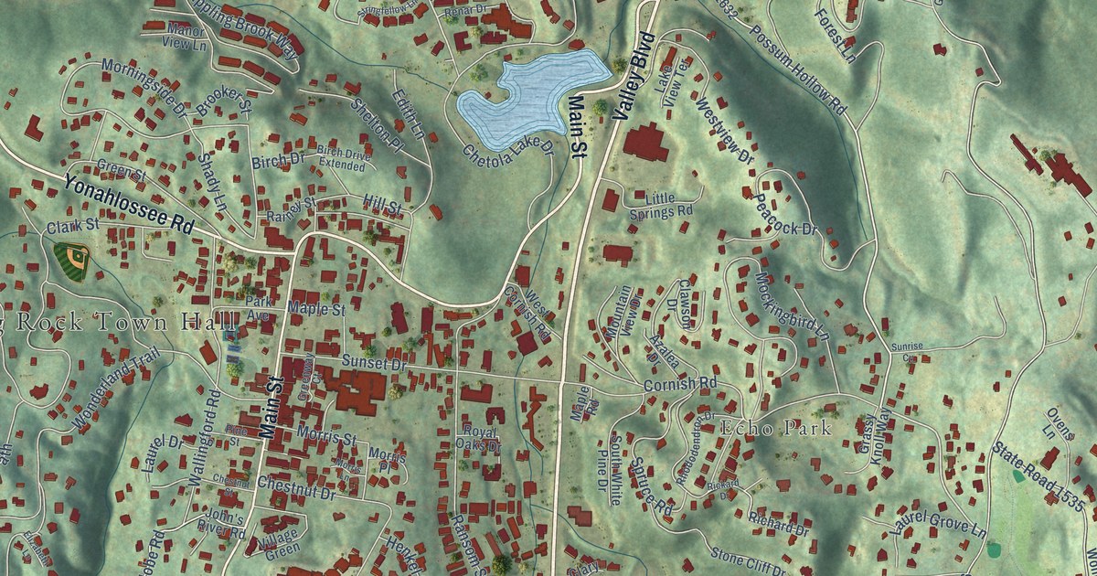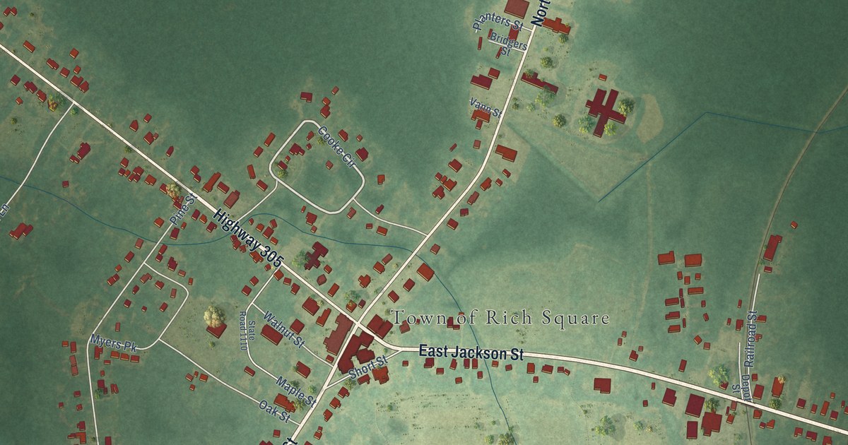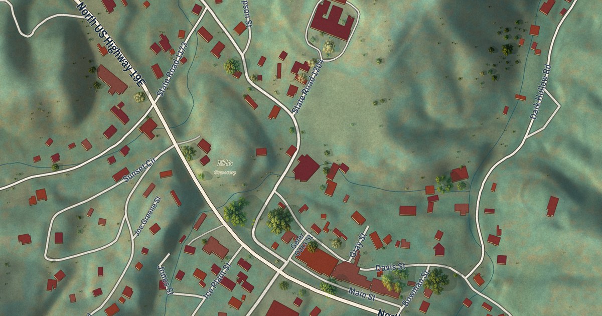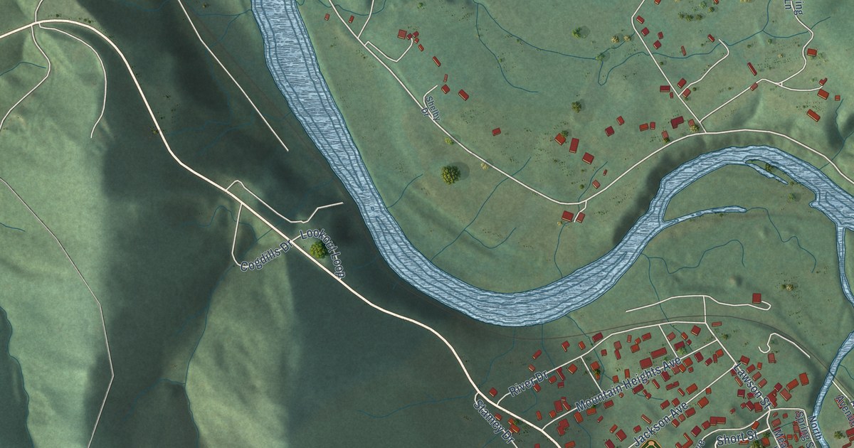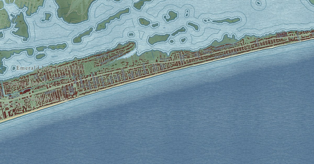
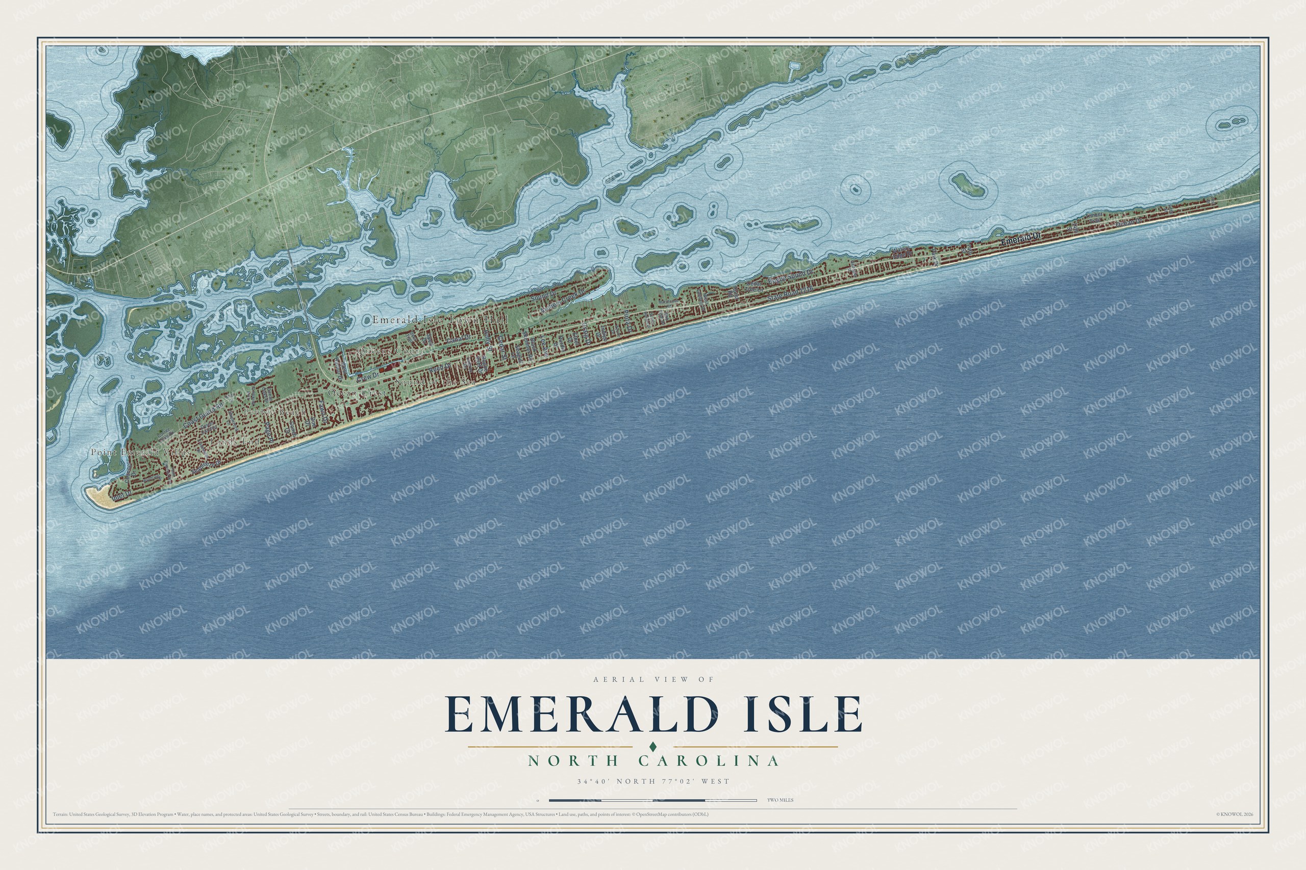
This beautifully detailed map of Emerald Isle, North Carolina was created in 2026 using aerial imagery combined with modern topographical, census, street and landmark data. It's a modern aerial view of Emerald Isle in Carteret County, North Carolina, that combines modern data with a vintage aesthetic. The roads feature printed names, and if you look closely you can find your exact house accurately shown in its correct location.
Explore an aerial view of Emerald Isle, North Carolina
On this map you'll find Emerald Isle Town Hall, Point Emerald Villas, Lands End, Pebble Beach, Queens Court, Sound of the Sea, Ocean Crest, Emerald Drive, Ocean Drive, Coast Guard Road, State Road 1216, Bogue Sound Drive, and more. Each red shape is a building, so zoom in on the preview and look for yours.
Every town has a first chapter, and Emerald Isle is no exception. The Town of Emerald Isle puts it this way: "The Westernmost thirteen miles of the Bogue Banks barrier island of the Southern Outer Banks was purchased in 1954 from Mrs. Anita Fort Maulik of Philadelphia."
Emerald Isle is a town in Carteret County. The Census Bureau counted 3,847 people here in 2020.
Take a closer look at the Emerald Isle map
Names on this map
These names are printed on this map.
Places: Emerald Isle Town Hall, Point Emerald Villas, Lands End, Pebble Beach, Queens Court, Sound of the Sea and Ocean Crest.
Streets and roads: Emerald Drive, Ocean Drive, Coast Guard Road, State Road 1216, Bogue Sound Drive, Canal Drive, Reed Drive, Sound Drive, Crew Drive, Archers Creek Drive, Cedar Street, Lee Avenue.
More street names, A to Z
14th Street, 24th Street, Azure Drive, Black Skimmer Road, Bluff Court, Bogue Inlet Drive, Cedar Tree Lane, Channel Drive, Conch Court, Corree Cove Drive, Craig Drive, Deer Trail, Doe Drive, Ebb Tide Drive, Ethel Drive, Fawn Drive, Fifth Street, First Street, Georgia Street, Holly Street, Hurst Road, Indigo Drive, Inlet Drive, Lamroc Drive, Lord Berkley Drive, Marshcove Road, Ocean Oaks Drive, Oyster Catcher, Page Place, Park Drive, Pinta Drive, Point Emerald Boulevard, Purdie Drive, Scotch Bonnet Drive, Seabreeze Drive, Seagull Lane, Shipwreck Lane, Spell Drive, Timber Trail, Tradewinds Drive, Waters Edge Drive, West Harbor Drive, West Landing Drive, Wyndtree Drive.
Created by KNOWOL in 2026. The buildings are small red shapes, the roads carry their printed names, and shaded relief shows the shape of the land. The title panel reads "AERIAL VIEW OF EMERALD ISLE NORTH CAROLINA" with 34°40' NORTH 77°02' WEST.
Hang it in the hallway, the office or the cabin, or give it to someone who left Emerald Isle and still calls it home. Open the preview and look for a street you know. See sizes and frames for the Emerald Isle map.