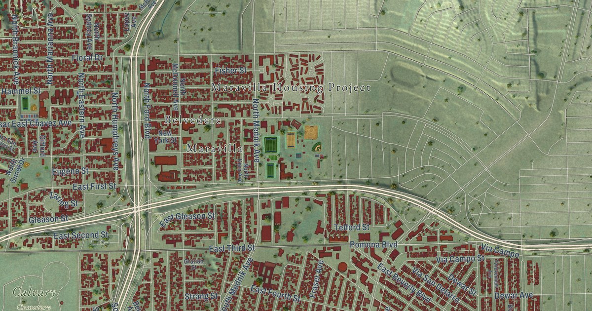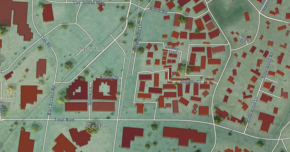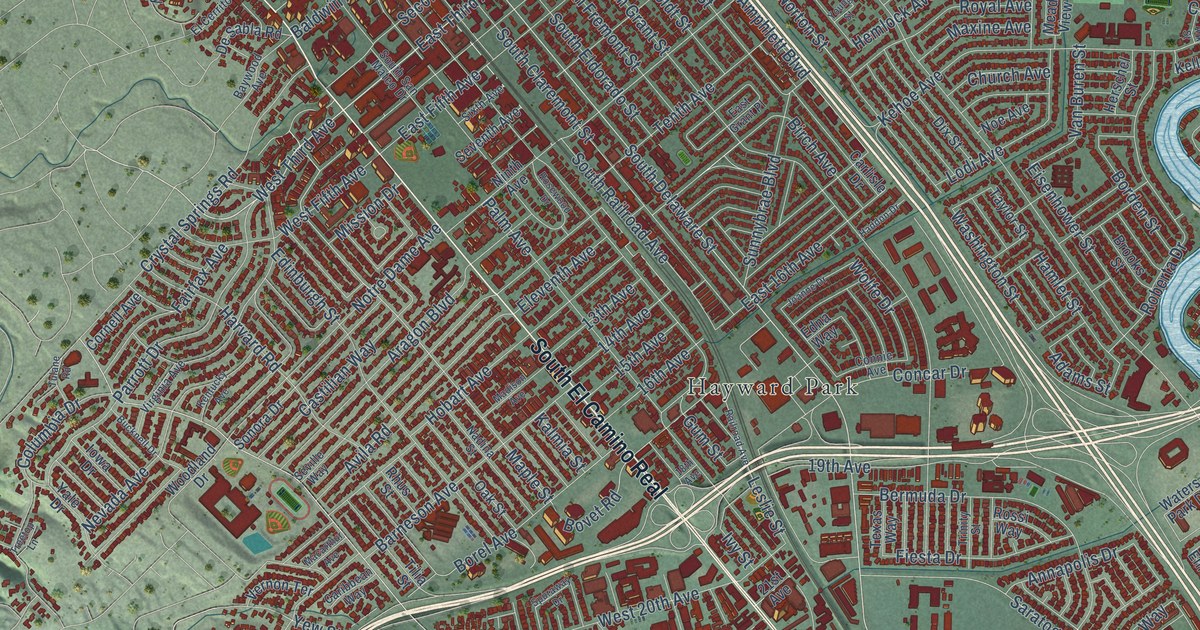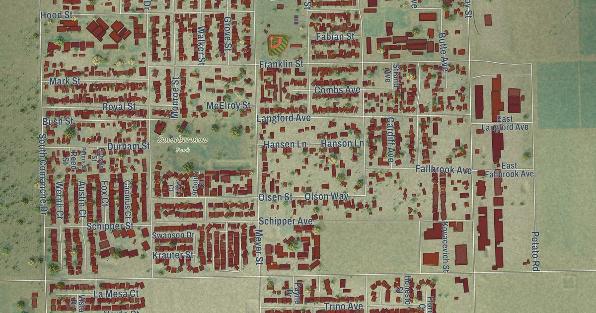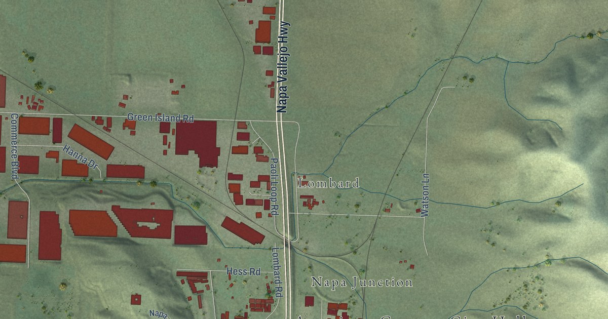
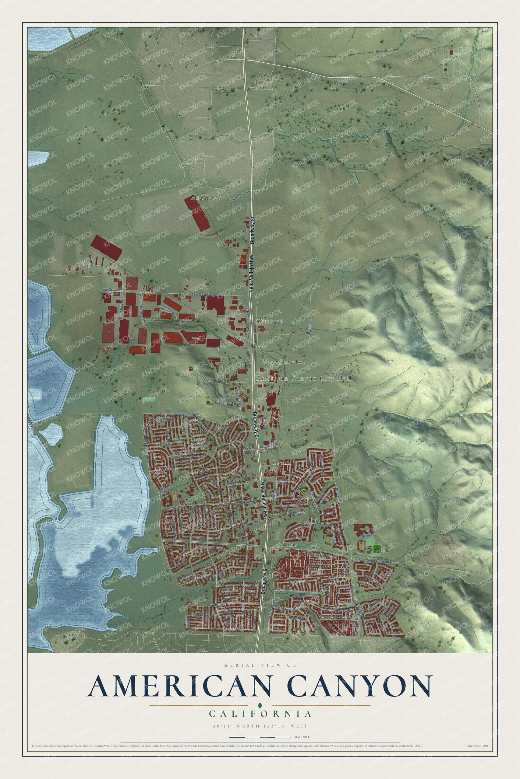
This beautifully detailed map of American Canyon, California was created in 2026 using aerial imagery combined with modern topographical, census, street and landmark data. It's a modern aerial view of American Canyon in Napa County, California, that combines modern data with a vintage aesthetic. The roads feature printed names, and if you look closely you can find your exact house accurately shown in its correct location.
Explore an aerial view of American Canyon, California
On this map you'll find American Canyon City Hall, Squab, Collins, Lombard, Lowell, Middleton, Napa Junction, Broadway Street, Napa Vallejo Highway, Elliott Drive, Sagebrush Lane, American Canyon Road, and more. Each red shape is a building, so zoom in on the preview and look for yours.
Every town has a first chapter, and American Canyon is no exception. The City of American Canyon puts it this way: "American Canyon’s journey to become a city was a long process, made possible by community efforts from 1950 through 1991."
American Canyon is a city in Napa County. The Census Bureau counted 21,837 people here in 2020.
Take a closer look at the American Canyon map
Names on this map
These names are printed on this map.
Places: American Canyon City Hall, Squab, Collins, Lombard, Lowell, Middleton and Napa Junction.
Streets and roads: Broadway Street, Napa Vallejo Highway, Elliott Drive, Sagebrush Lane, American Canyon Road, Marla Drive, Pelleria Drive, Danrose Drive, Flosden Road, West Donaldson Way, Westpark, Blanco Street.
More street names, A to Z
Alta Loma Drive, American Canyon Lane, Andrew Road, Banbury Way, Benton Way, Bethany Drive, Brookfield North, Brookfield South, Brophy Street, Cantada Way, Canyon Creek Drive, Capra Drive, Carmel Drive, Carolyn Drive, Cartagena Way, Cassayre Drive, Cattail Drive, Chaucer Lane, Cll de Los, Cll Junio, Cll Pizarro, Commerce Boulevard, Crawford Way, Creekside Circle, Daniel Drive, Deerfield Drive, Del Rey Court, Donaldson Way, Donaldson Way East, Elke Drive, Entrada Circle, Eucalyptus Drive, Flamingo Court, Folland Drive, Ford Drive, Forest Lane, Gadwall Street, Gisela Drive, Golden Brook Lane, Goldeneye Court, Goldfinch Drive, Granite Springs Way, Green Island Road, Hallmark Lane, Hanna Drive, Heartford Way, Hearthstone Drive, Hess Road, Highridge Drive, Holcomb Lane, Hummingbird Way, Huntington Way, Independence Drive, Iron Horse Drive, James Road, Jana Way, Jim Oswalt Way, Joan Drive, Karen Drive, Kensington Way, Kent Place, Kilpatrick Street, Kimberly Drive, Kingsly Lane, Knightsbridge Way, Landana Drive, Landana Street, Larkspur Street, Lena Drive, Lombard Road, Los Altos Drive, Lucina Street, Main Street, Manor Court, Meadow Bay Drive, Medeiros Lane, Melvin Road, Mezzetta Court, Michael Lane, Napa Junction Road, Newbury Way, Newell Drive, Northampton Drive, Northrup Lane, Oriole Court, Palazzo Way, Palestrina Drive, Paoli Loop Road, Patricia Drive, Peacock Circle, Pienza Drive, Poco Way, Poppyfield Drive, Rebecca Court, Red Clover Way, Redhead Street, Redwood Circle, Reed Drive, Renwood Lane, Rio del Mar, Rio Grande, San Marco Way, Sarcedo Way, Sheffield Way, Shenandoah Drive, Sierra Vis, Silver Oak Trail, Sirah Drive, Sonoma Creek Way, Sorrento Lane, South Kelly Road, South Napa Junction Road, Spikerush Circle, Stonecreek Drive, Tapestry Lane, Terrazzo Drive, Thayer Way, Theresa Avenue, Toscana Drive, Tuscan Oak Trail, Ventana Drive, Via Bellagio, Via Firenze, Via la Morra, Via Marciana, Via Pesaro, Via Pescara, Via Treviso, Vinci Way, Watson Lane, West Carolyn Drive, Wetlands Edge Road, White Oak Drive, Wilson Way.
Created by KNOWOL in 2026. The buildings are small red shapes, the roads carry their printed names, and shaded relief shows the shape of the land. The title panel reads "AERIAL VIEW OF AMERICAN CANYON CALIFORNIA" with 38°11' NORTH 122°15' WEST.
Hang it in the hallway, the office or the cabin, or give it to someone who left American Canyon and still calls it home. Open the preview and look for a street you know. See sizes and frames for the American Canyon map.