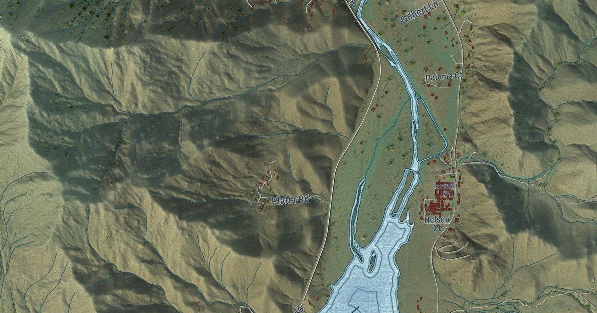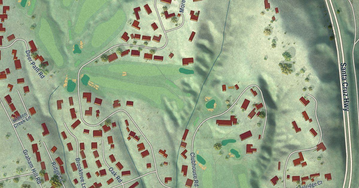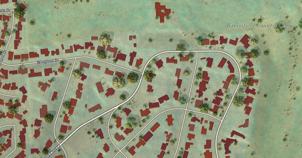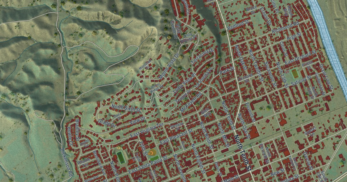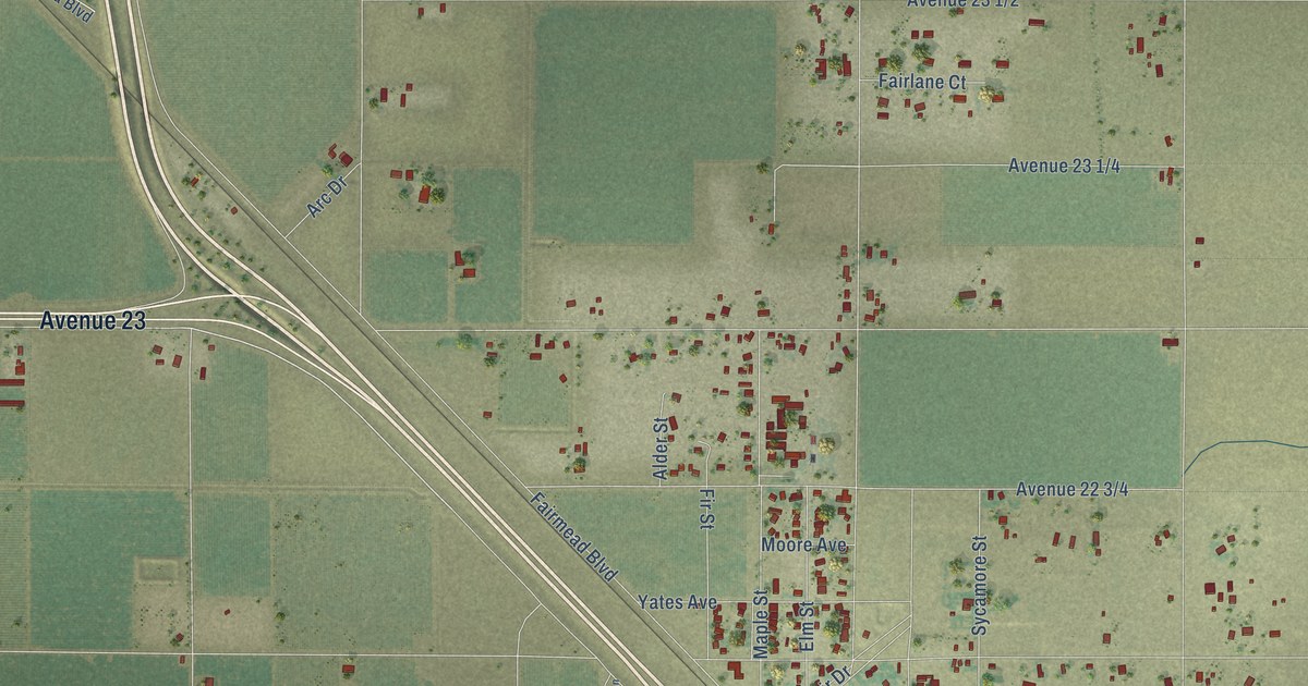
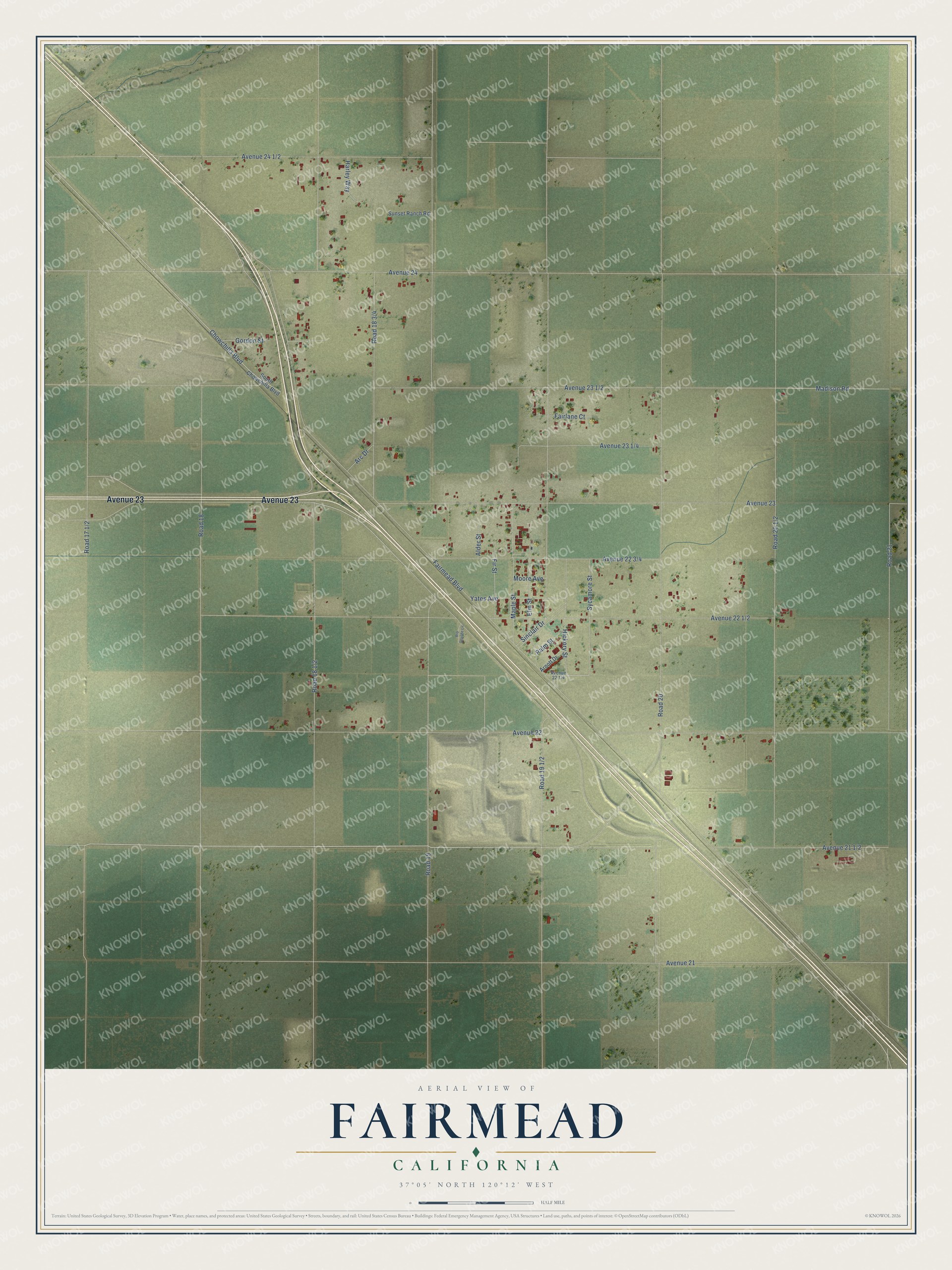
This beautifully detailed map of Fairmead, California was created in 2026 using aerial imagery combined with modern topographical, census, street and landmark data. It's a modern aerial view of Fairmead in Madera County, California, that combines modern data with a vintage aesthetic. The roads feature printed names, and if you look closely you can find your exact house accurately shown in its correct location.
Explore an aerial view of Fairmead, California
On this map you'll find Avenue 23, Avenue 21 1/2, Road 19, Fairmead Boulevard, Avenue 22, Avenue 23 1/2, Avenue 22 1/2, Road 20, Road 19 1/2, Road 20 1/2, Avenue 21, Road 18, and more. Each red shape is a building, so zoom in on the preview and look for yours.
Fairmead has a story worth telling. Fairmead began in the early 1900s as a farm colony whose plots were marketed to Mennonite families in Germany and Russia. When the groundwater dropped in the 1920s, Jacob Yakel bought up most of the land and sold plots directly to Black farmers, at a time when most places kept Black families from buying property. From the 1920s through the 1960s Fairmead was a thriving, mostly Black farming community, and historian Michael Eissinger told its story in the book Fairmead: A Century of Change. That's from the Valley Public Radio newsroom.
Fairmead is a community in Madera County. The Census Bureau counted 1,235 people here in 2020.
Take a closer look at the Fairmead map
Names on this map
These names are printed on this map.
Streets and roads: Avenue 23, Road 19, Fairmead Boulevard, Avenue 22, Road 20, Avenue 21, Road 18, Road 21, Avenue 24, Maple Street, Sinclair Drive, Hickory Street.
More street names, A to Z
Alder Street, Arc Drive, Arnott Drive, Chowchilla Boulevard, Elm Street, Fairlane Court, Fir Street, Gordon Street, Harley Way, Madison Road, Moore Avenue, Palm Street, Rio Grande Lane, South Chowchilla Boulevard, Sunset Ranch Road, Sycamore Street, Yates Avenue.
See it on a wall
The Fairmead map as a framed print. Swipe for more.


Created by KNOWOL in 2026. The buildings are small red shapes, the roads carry their printed names, and shaded relief shows the shape of the land. The title panel reads "AERIAL VIEW OF FAIRMEAD, CALIFORNIA" with 37°05' NORTH 120°12' WEST.
It looks right in a kitchen, an office or a den, and it's a gift for anyone who grew up in Fairmead or moved away. Open the preview and find your street. See sizes and frames for the Fairmead map.