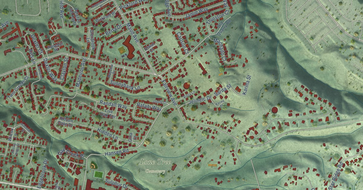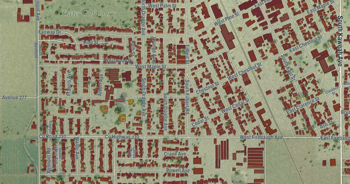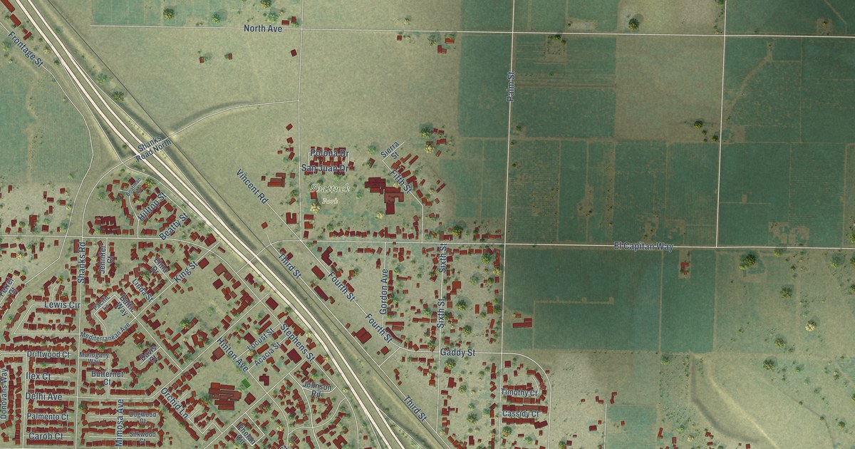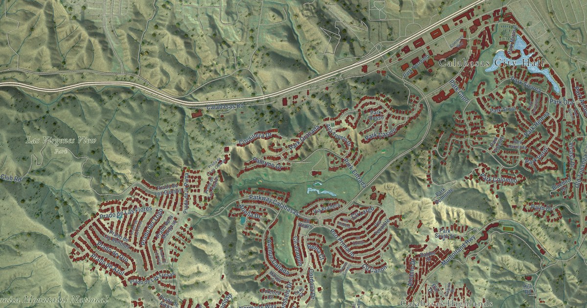
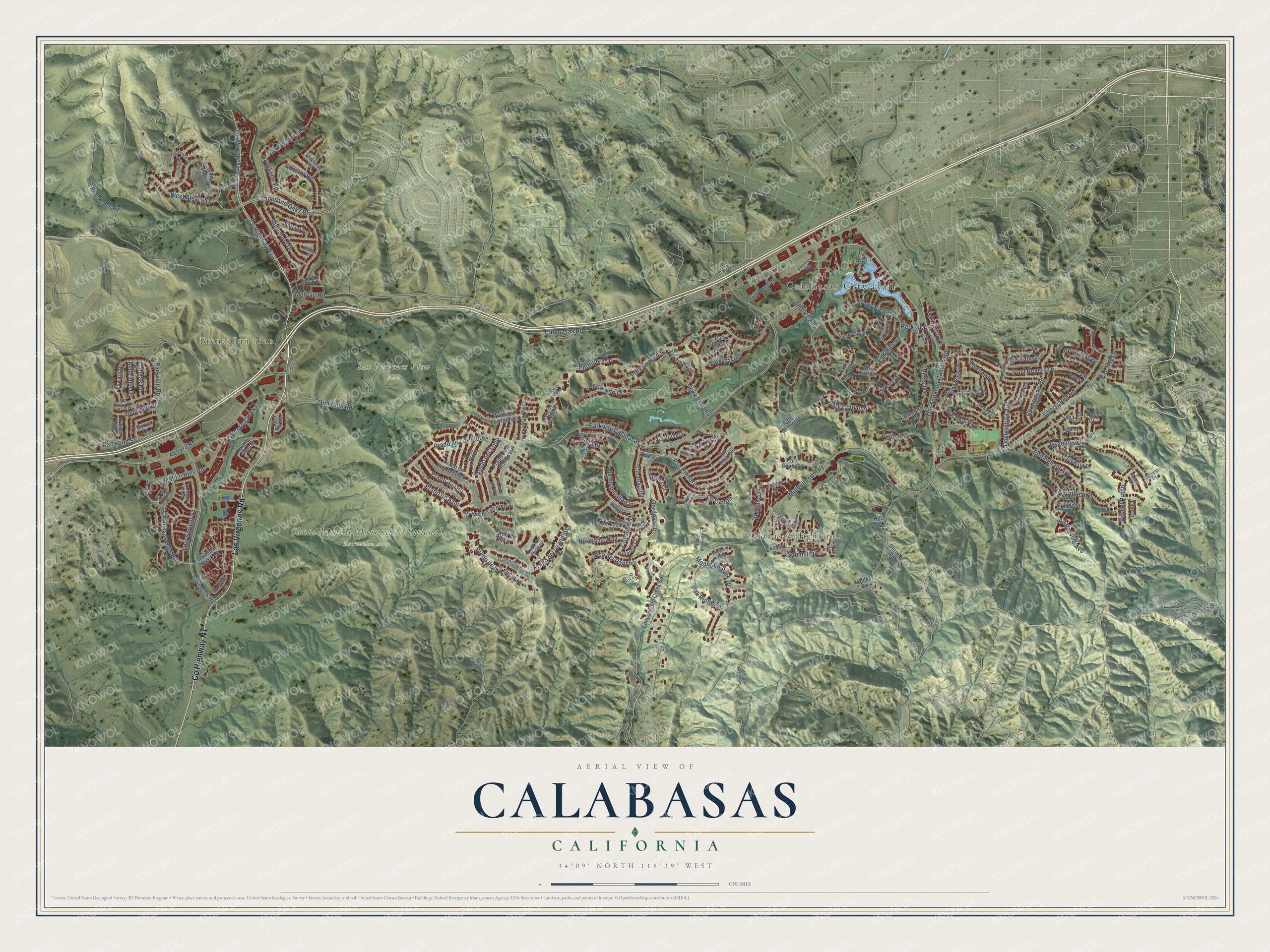
This beautifully detailed map of Calabasas, California was created in 2026 using aerial imagery combined with modern topographical, census, street and landmark data. It's a modern aerial view of Calabasas in Los Angeles County, California, that combines modern data with a vintage aesthetic. The roads feature printed names, and if you look closely you can find your exact house accurately shown in its correct location.
Explore an aerial view of Calabasas, California
On this map you'll find Calabasas City Hall, Brents Junction, Calabasas Highlands, Las Virgenes View Park, Santa Monica Mountains National Recreation Area, Co Highway N1, Las Virgenes Road, Pso Primario, Mureau Road, Parkway Calabasas, Mulholland Highway, Calabasas Road, and more. Each red shape is a building, so zoom in on the preview and look for yours.
Every town has a first chapter, and Calabasas is no exception. The record at ohp.parks.ca.gov puts it this way: "Known as the 'Oldest House in Hollywood,' this house was built in the 1870s by Eugene Raphael Plummer."
Calabasas is a city in Los Angeles County. The Census Bureau counted 23,241 people here in 2020.
Take a closer look at the Calabasas map
Names on this map
These names are printed on this map.
Places: Calabasas City Hall, Brents Junction, Calabasas Highlands, Las Virgenes View Park and Santa Monica Mountains National Recreation Area.
Streets and roads: County Highway N1, Las Virgenes Road, Pso Primario, Mureau Road, Parkway Calabasas, Mulholland Highway, Calabasas Road, Lost Hills Road, Park Granada, Old Topanga Canyon Road, Agoura Road, Gun Club Road.
More street names, A to Z
Adamor Road, Adamsville Avenue, Alcamo Drive, Alizia Canyon Drive, Alta Topelo Drive, Ambridge Drive, Ariella Drive, Arroyo Willow Lane, Avenue Callada, Avenue Cumbre, Balcony Drive, Balder Drive, Blackbird Way, Bluebird Drive, Bonhomme Road, Cairnloch Street, Calabasas Hills Road, Calabasas Peak Mtwy, Calipatria Drive, Cam del Sol, Cangas Drive, Canwood Street, Canyon Drive, Carsamba Drive, Chestnut Way, Cll Canon, Cll Cedro, Cll Conejo, Cll Joaquin, Cll Largo, Commons Way, Consuelo Drive, Cordillera Drive, Cordova Drive, Country Creek Lane, Daniela Court, Dantes View Drive, Dardenne Street, De Berry Drive, Declaration Avenue, De Grasse Drive, De Kalb Drive, Delia Court, Dorothy Road, Dry Canyon Cold Creek Road, Dunmore Drive, Earls Court, Eddingham Avenue, El Encanto Drive, Elm Drive, Esward Drive, Galilee Street, Garret Drive, Gladiola Drive, Greenview Road, Hatmor Drive, Helmond Drive, Hill Road, Ivy Trail, Jameson Drive, Kearny Street, Kenrose Circle, Lemans Drive, Liberty Bell Road, Lido Court, Lorenzo Court, Lost Springs Drive, Malaga Court, Malibu Hills Road, Meadow Creek Lane, Meadowlark Drive, Mont Calabasas, Morrison Ranch Road, Mountain Park Drive, Normans Way, Oak Ridge Terrace, Palais Place, Palermo Drive, Palm Drive, Park Alisal, Park Arroyo, Park Belmonte, Park Capri, Park Casino, Park Colombo, Park Ensenada, Park Entrada, Park Hacienda, Park Helena, Park Mirasol, Parkmor Road, Park Ora, Park Paloma, Park Rosso, Park Sienna, Park Sorrento, Park South Street, Park Verdi, Park Vicente, Parkville Road, Paul Revere Drive, Paul Revere Road, Pickney Drive, Prado de Ambar, Prado de Azul, Prado de la Felicidad, Prado de la Mariposa, Prado de la Puma, Prado de Las Bellotas, Prado de Las Flores, Prado de Las Fresas, Prado de Las Frutas, Prado de Las Uvas, Prado del Grandioso, Prado del Misterio, Prado de Los Ciervos, Prado de Los Gansos, Prado de Los Pajaros, Prado de Los Suenos, Prado del Trigo, Prado de Oro, Provence Drive, Pso del Rancho, Pso del Sol, Pulido Court, Red Bluff Drive, Reina Court, Rondell Street, Ruthwood Drive, Saint Andrews Lane, Schuylkill Drive, Shadow Hills Road, Stokes Canyon Road, Summit Drive, Thousand Oaks Boulevard, Towhee Drive, Valdez Road, Via del Prado, Via Madera, Via Mira Monte, Via Pradera, Via Tecolote, Via Verde Court, Vicasa Drive, West Alsace, West Alsace Drive, Willow Glen Street.
Created by KNOWOL in 2026. The buildings are small red shapes, the roads carry their printed names, and shaded relief shows the shape of the land. The title panel reads "AERIAL VIEW OF CALABASAS CALIFORNIA" with 34°09' NORTH 118°39' WEST.
Hang it in the hallway, the office or the cabin, or give it to someone who left Calabasas and still calls it home. Open the preview and look for a street you know. See sizes and frames for the Calabasas map.