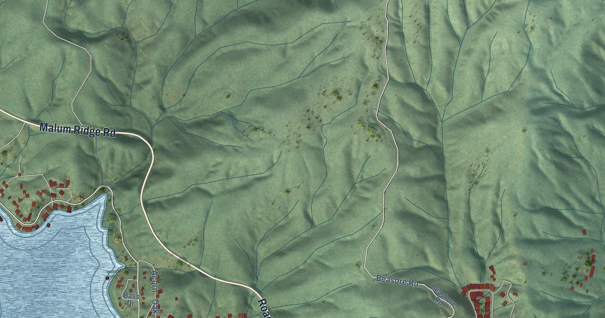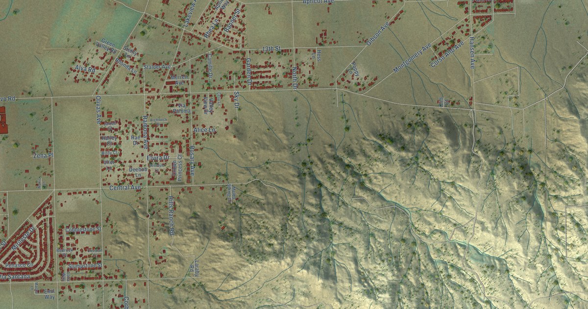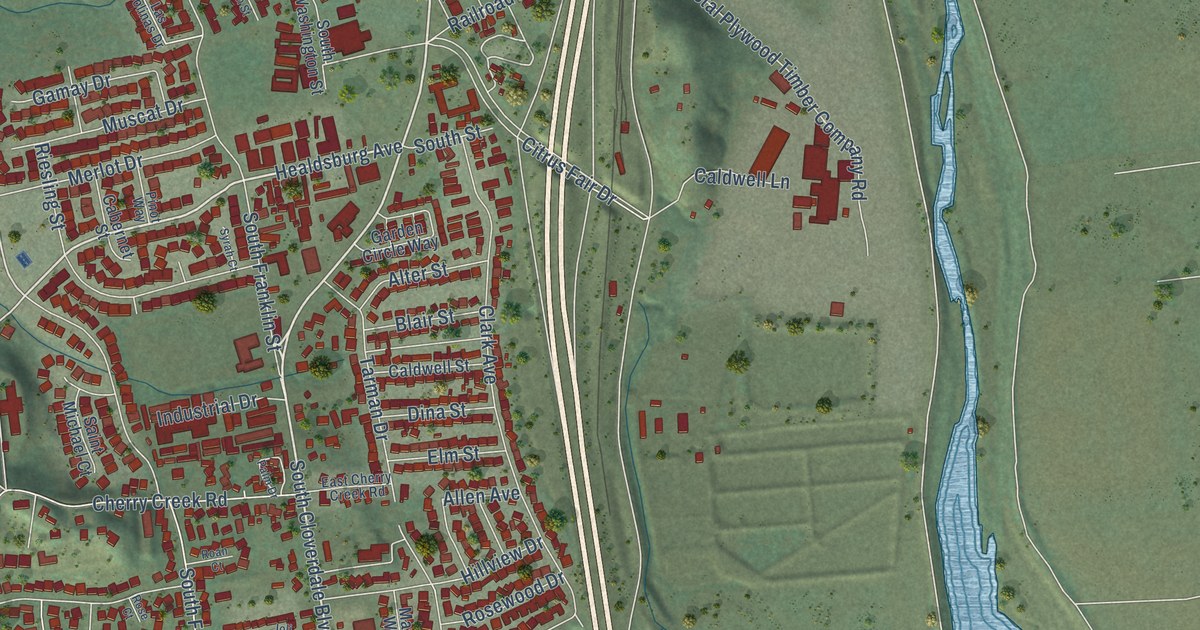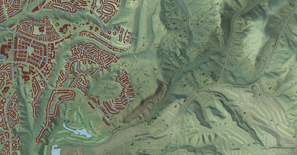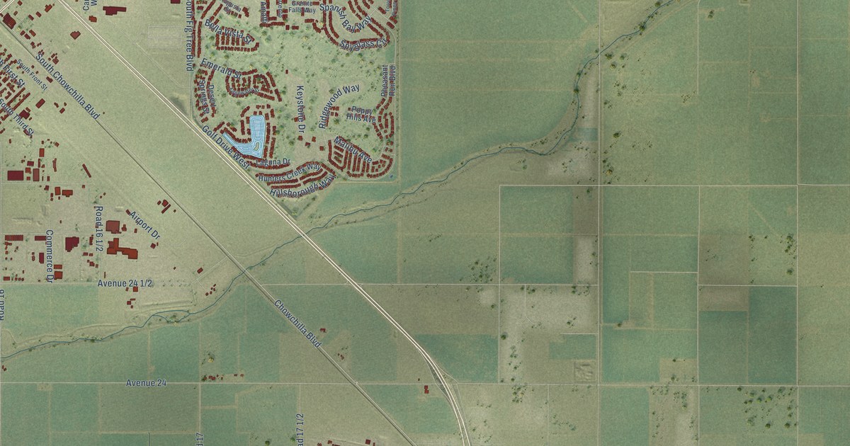
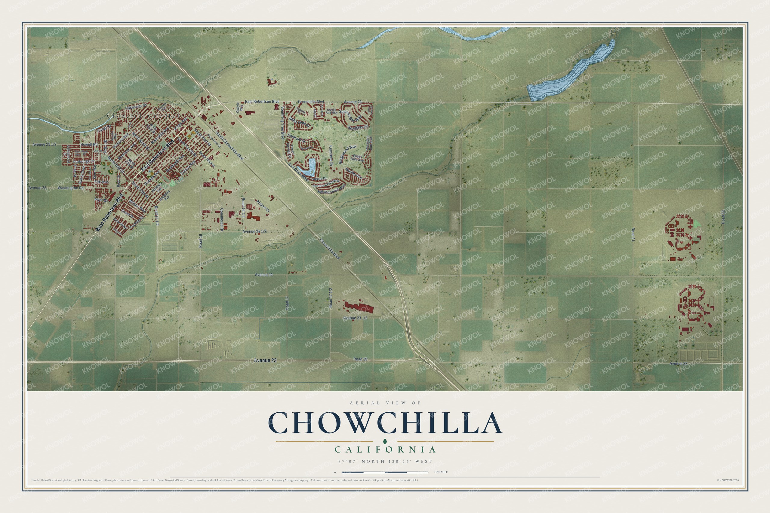
This beautifully detailed map of Chowchilla, California was created in 2026 using aerial imagery combined with modern topographical, census, street and landmark data. It's a modern aerial view of Chowchilla in Madera County, California, that combines modern data with a vintage aesthetic. The roads feature printed names, and if you look closely you can find your exact house accurately shown in its correct location.
Explore an aerial view of Chowchilla, California
On this map you'll find Chowchilla City Hall, East Robertson Boulevard, West Robertson Boulevard, Avenue 23, Ventura Avenue, North 15th Street, South 15th Street, Elm Avenue, Greenhills Boulevard, Spanish Bay Way, Road 15 1/2, Parkridge Drive, and more. Each red shape is a building, so zoom in on the preview and look for yours.
Chowchilla is a city in Madera County. The Census Bureau counted 19,039 people here in 2020. The map prints the town name in its title panel, with the coordinates below it.
Take a closer look at the Chowchilla map
Names on this map
These names are printed on this map.
Places: Chowchilla City Hall.
Streets and roads: East Robertson Boulevard, West Robertson Boulevard, Avenue 23, Ventura Avenue, North 15th Street, South 15th Street, Elm Avenue, Greenhills Boulevard, Spanish Bay Way, Parkridge Drive, South First Street, Bella Vista Street.
More street names, A to Z
Airport Drive, Alameda Avenue, Amalfi, Augusta Street, Avenue 24, Avenue 25, Avenue 26, Calaveras Street, Canal Drive, Carlyle Way, Chowchilla Boulevard, Circle Drive, Colusa Avenue, Commerce Drive, Cottonwood Drive, Cypress Lane, Desert Springs Street, Dorothy Way, Edgewater Street, Emerald Street, Gill Way, Golf Drive West, Granite Falls Way, Grant Drive, Hillsborough Way, Howell Road, Humboldt Avenue, Hunters Creek Way, Jefferson Street, Keystone Drive, Kings Avenue, Kites Way, Laguna Drive, Malibu Avenue, Mariposa Avenue, Monterey Avenue, Myer Drive, North 13th Street, North Ninth Street, North Sixth Street, Orange Avenue, Palm Parkway, Pheasant Run Boulevard, Phillip Way, Pine Street, Plum Court, Plum Way, Poppy Hills Avenue, Ridgewood Way, Riverside Avenue, Road 15, Road 16, Road 17, Road 18, Road 21, Road 22, Santa Cruz, Sonoma Avenue, Sorrento, South Chowchilla Boulevard, South Fig Tree Boulevard, South Fourth Street, South Front Street, South Third Street, Spyglass Circle, Torrey Pines Circle, Truman Drive, Washington Road, Wilson Way.
Created by KNOWOL in 2026. The buildings are small red shapes, the roads carry their printed names, and shaded relief shows the shape of the land. The title panel reads "AERIAL VIEW OF CHOWCHILLA CALIFORNIA" with 37°07' NORTH 120°16' WEST.
Hang it in the hallway, the office or the cabin, or give it to someone who left Chowchilla and still calls it home. Open the preview and look for a street you know. See sizes and frames for the Chowchilla map.