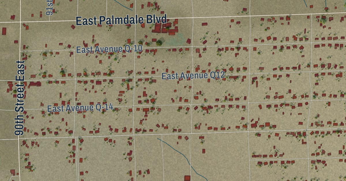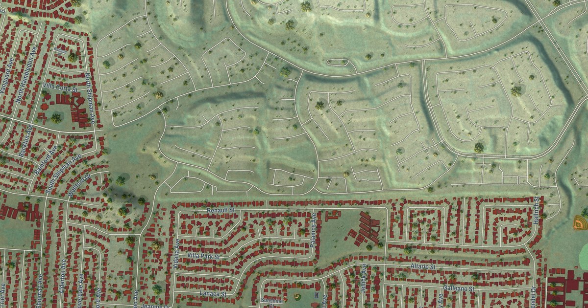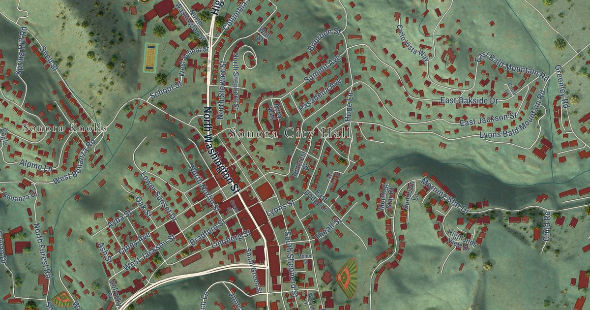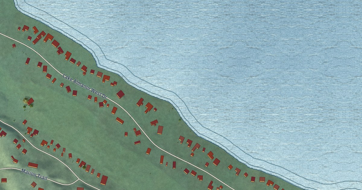
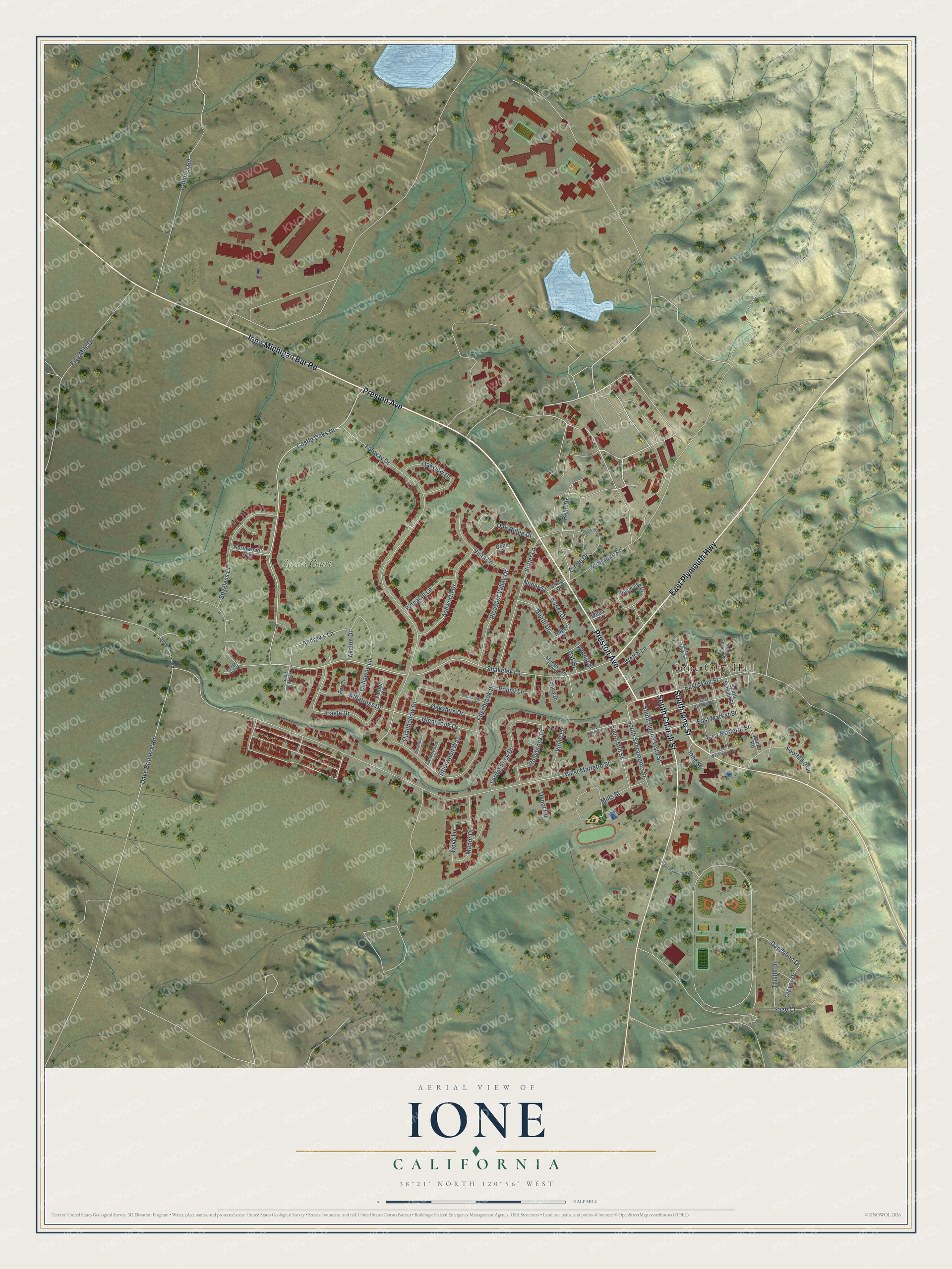
This beautifully detailed map of Ione, California was created in 2026 using aerial imagery combined with modern topographical, census, street and landmark data. It’s a one-of-a-kind view of Ione that combines accurate data with a vintage aesthetic. The map shows every building in its true location, many of the roads carry their names, and the shaded topographic relief shows the shape of the land.
Explore an aerial view of Ione, California
On the map you’ll find Ione City Hall, along with Strata Court, Preston Avenue, South Ione Street, East Plymouth Highway, Ione Michigan Bar Road, South Church Street, Castle Oaks Drive, Shakeley Lane, South Sacramento Street, Ione Street, Dave Brubeck Road, and more. If you look closely you can even find your house accurately drawn in its correct location. Zoom in on the preview to look for yours.
Did you know this piece of Ione, California history?
From Ohp.parks.ca.gov: "Dedicated as the Ione City Centenary Church and later popularly known as the Cathedral of the Mother Lode, this church was the first to serve the people in the area."
Take a closer look at the Ione map
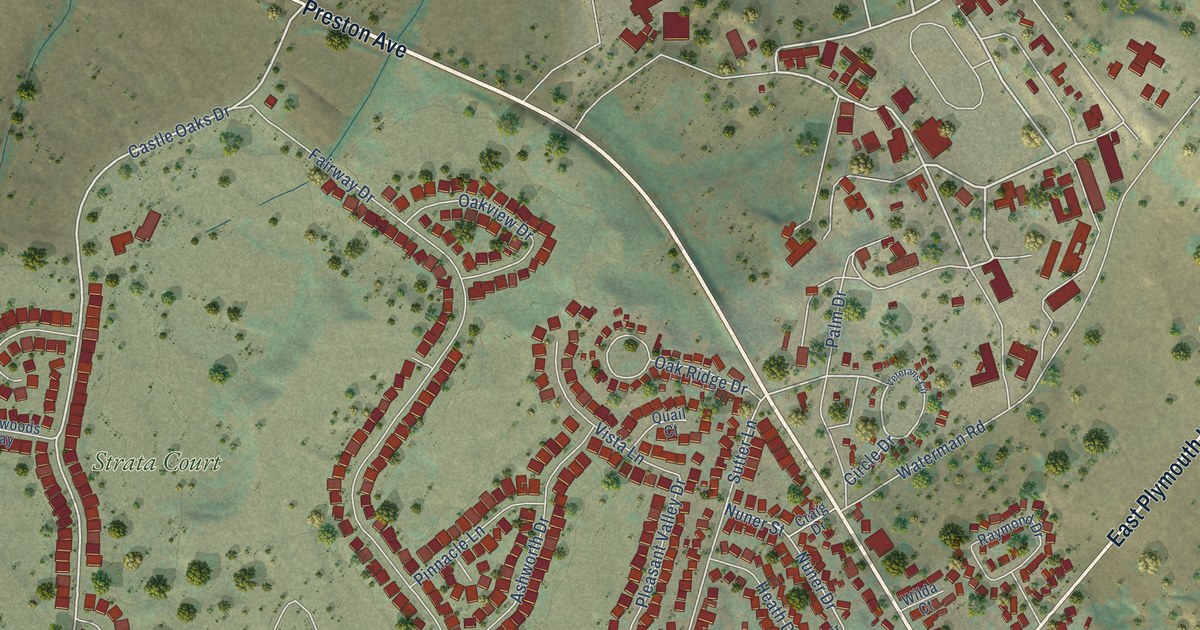
Street and place names on the Ione, California map
These names are printed on the map of Ione, California.
Places: Ione City Hall and Strata Court.
Streets and roads: Preston Avenue, South Ione Street, East Plymouth Highway, Ione Michigan Bar Road, South Church Street, Castle Oaks Drive, Shakeley Lane, South Sacramento Street, Ione Street, Dave Brubeck Road, East Main Street, Sutter Lane.
More street names, A to Z
Albatross Drive, Andrews Lane, Ashworth Drive, Avalon Drive, Bacon Road, Birchwood Court, Brierwood Way, Brookview Court, Callaway Lane, Circle Drive, Clover Drive, Collings Road, Cottonwood Court, Craig Drive, Dandelion Drive, Depot Road, Dove Lane, Eagle Drive, East Jackson Street, East Market Street, East Marlette Street, East Washington Street, Edgebrook Drive, Fairway Drive, Five Mile Drive, Foothill Boulevard, Glenbrook Drive, Heath Drive, Manor Drive, Mills Street, North Arroyo Street, North Summit Street, Northwoods Way, Nuner Drive, Nuner Street, Oak Ridge Drive, Oakshire Drive, Oak Street, Oakview Drive, Old Stockton Road, Palm Drive, Par Court, Pelican Hill Court, Pinnacle Lane, Pleasant Valley Drive, Poppy Lane, Quail Court, Quailhollow Drive, Raymond Drive, Roger Street, Sage Court, Saint Andrews Lane, Shakely Lang Extended, South Buena Vista Street, South Mill Street, South Summit Street, Springcreek Drive, Spyglass Drive, Stacy Drive, Stonybrook Drive, Thistle Drive, Vardon Court, Veterans Circle, Violet Lane, Vista Lane, Walnut Street, Waterman Road, Welch Lane, West Jackson Street, West Marlette Street, West Plymouth Highway, Wilda Court.
See the Ione, California map on a wall
The Ione map as an 18 x 24 inch print in a black frame.

This beautifully detailed map of Ione makes an attractive addition to your office, library, or den, and it can even be used to teach children the geography and history of the area. It also makes a great gift for anyone who grew up in Ione or moved away. When you’re done exploring, click here to get your copy of the Ione map.