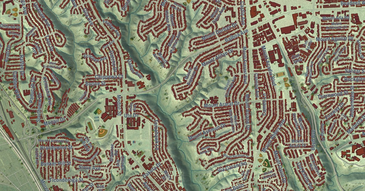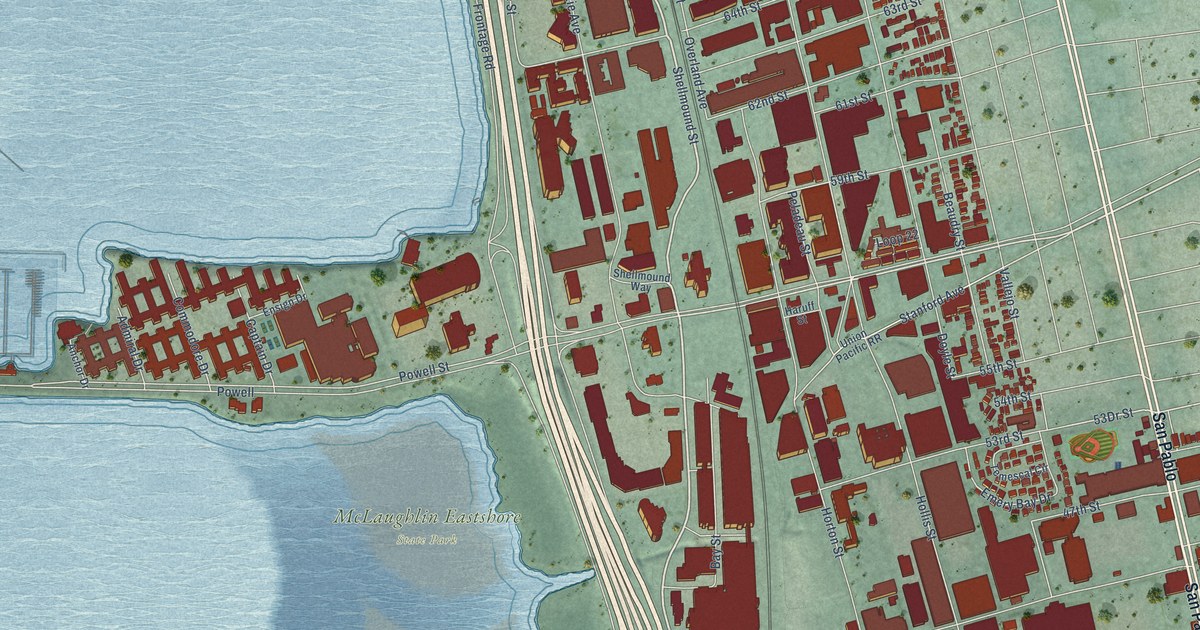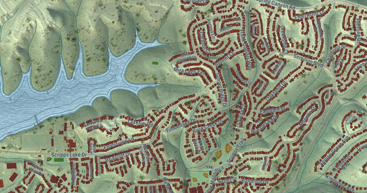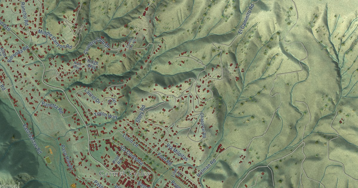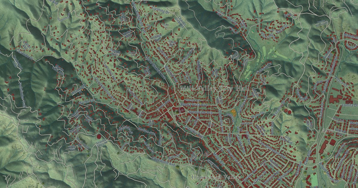
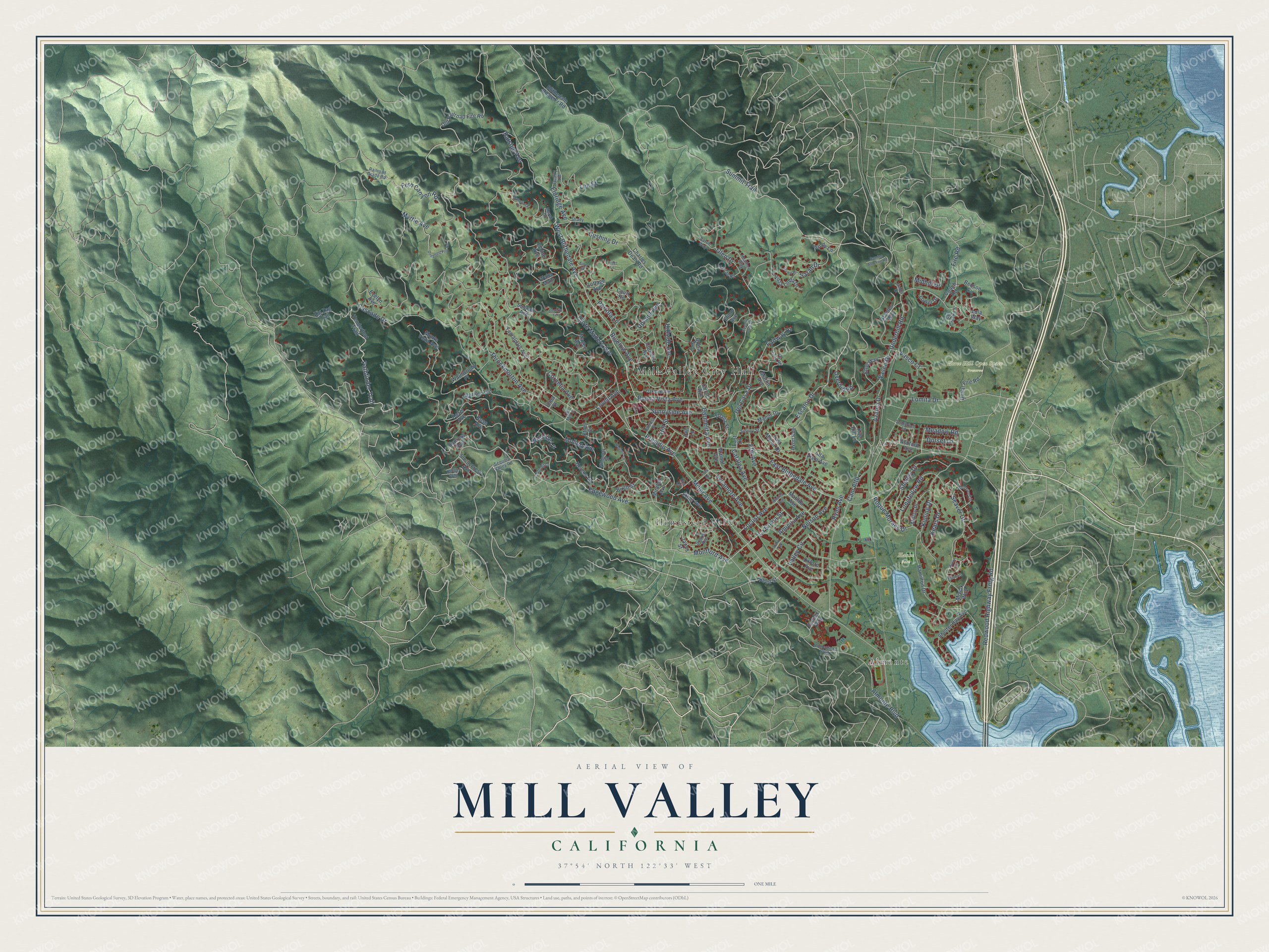
This beautifully detailed map of Mill Valley, California was created in 2026 using aerial imagery combined with modern topographical, census, street and landmark data. It's a modern aerial view of Mill Valley in Marin County, California, that combines modern data with a vintage aesthetic. The roads feature printed names, and if you look closely you can find your exact house accurately shown in its correct location.
Explore an aerial view of Mill Valley, California
On this map you'll find Mill Valley City Hall, Hauke Park, Horse Hill Open Space Preserve, Almonte, Alto, Homestead Valley, West Blithedale Avenue, Escalon Drive, Summit Trail, Miller Avenue, Montford Avenue, Fire Road, and more. Each red shape is a building, so zoom in on the preview and look for yours.
Here is a piece of Mill Valley history, in the words of the record. The record at ohp.parks.ca.gov puts it this way: "The Club, founded in 1902 by 35 Mill Valley women, is dedicated to preserving the area's natural environment."
Mill Valley is a city in Marin County. The Census Bureau counted 14,231 people here in 2020.
Take a closer look at the Mill Valley map
Names on this map
These names are printed on this map.
Places: Mill Valley City Hall, Hauke Park, Horse Hill Open Space Preserve, Almonte, Alto and Homestead Valley.
Streets and roads: West Blithedale Avenue, Escalon Drive, Summit Trail, Miller Avenue, Montford Avenue, Fire Road, Edgewood Avenue, Pathfinder Trail, Presidio Avenue, Lovell Avenue, Cam Alto, East Blithedale Avenue.
More street names, A to Z
Almonte Boulevard, Alta Vista Avenue, Amicita Avenue, Ashford Avenue, Avon Avenue, Azalea Drive, Barrie Way, Benson Circle, Beverly Terrace, Bigelow Avenue, Birch Street, Blithedale Ridge Fr Road, Bolsa Avenue, Buena Vista Avenue, Byron Circle, Camino Alto Fire Road, Carmelita Avenue, Cascade Drive, Catalpa Avenue, Charles Dean Road, Circle Avenue, Coach Road, Cornelia Avenue, Coronet Avenue, Corte Madera Avenue, Cottage Avenue, Country Club Drive, Court Road, Cushing Drive, Cypress Avenue, Daffodil Lane, Dawn Place, Del Casa Drive, Dell Lane, Dollar Fire Road, Dorset Lane, East Drive, East Manor Drive, Elaine Avenue, Eldridge Avenue, Elinor Avenue, Eliot Court, Elma Street, Elm Avenue, El Paseo, Ethel Avenue, Ethel Court, Eton Way, Evelyn Avenue, Fairway Drive, Fern Canyon Road, Forrest Street, Glen Drive, Gomez Way, Hamilton Drive, Hazel Avenue, Heather Way, Helens Lane, Heuters Lane, Hilarita Avenue, Hillside Avenue, Hill Street, Homestead Boulevard, Janes Street, Keats Drive, King Street, Kings Way, Kipling Drive, Kite Hill Lane, La Goma Street, Lee Street, Locust Avenue, Lomita Drive, Longfellow Road, Lower Drive, Lula Way, Magee Avenue, Manor Drive, Manzanita Place, Marion Avenue, Marlin Avenue, Marsh Drive, Matilda Avenue, Meadow Road, Middle Court, Midhill Drive, Millay Place, Millside Lane, Mirabel Avenue, Miwok Way, Molino Avenue, Monte Vista Avenue, Myrtle Avenue, Nelson Avenue, Oakdale Avenue, Old Mill Street, Old Railroad Fire Road, Overhill Road, Oxford Avenue, Park Avenue, Park Terrace, Portola Lane, Quarry Road, Railroad Grade Road, Ralston Avenue, Redwood Highway Frntg Road, Reed Street, Rider Lane, Roque Moraes Drive, Rose Avenue, Ryan Avenue, Salt Creek Lane, Sandy Lane, Sarah Drive, Seaver Drive, Sequoia Valley Road, Shady Lane, Shelley Drive, Shelter Bay Avenue, Sidney Street, Somerset Lane, Stanton Way, Summit Avenue, Sunnycrest Avenue, Sunnyside Avenue, Sunrise Avenue, Sycamore Avenue, Tamalpais Avenue, Tartan Road, Tenderfoot Trail, Thalia Street, Thoreau Circle, Throckmorton Avenue, Una Court, Underhill Road, Unnamed Fire Road, Upland Avenue, Valley Circle, Val Vista Road, Vasco Court, Vasco Drive, Vista Linda Drive, Wainwright Place, Walnut Avenue, Water Main, Wildomar Street, Zig Zag Trail.
Created by KNOWOL in 2026. The buildings are small red shapes, the roads carry their printed names, and shaded relief shows the shape of the land. The title panel reads "AERIAL VIEW OF MILL VALLEY CALIFORNIA" with 37°54' NORTH 122°33' WEST.
It suits a den, a classroom or a front hall, and it makes a gift for anyone with Mill Valley roots. Open the preview and find the block you know. See sizes and frames for the Mill Valley map.