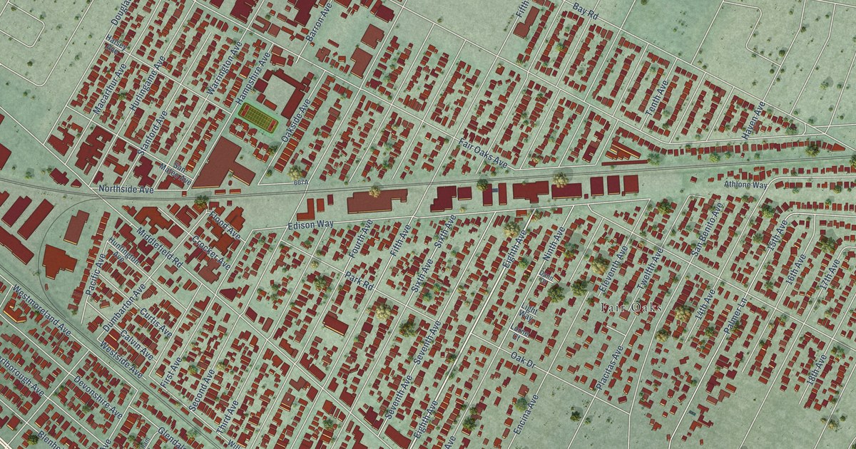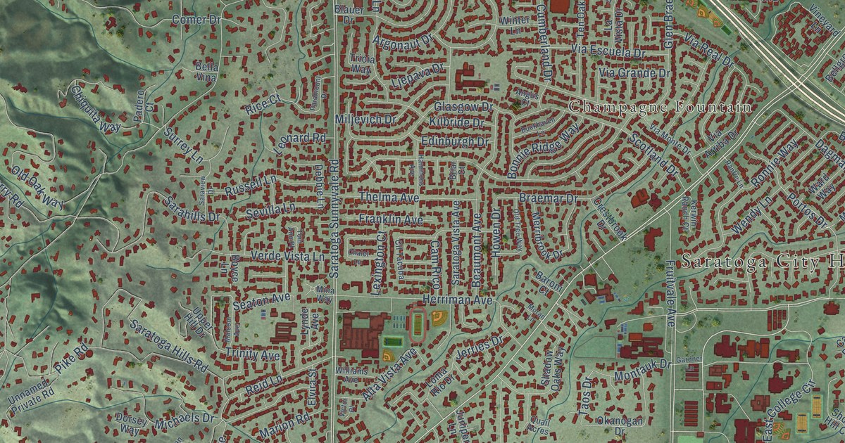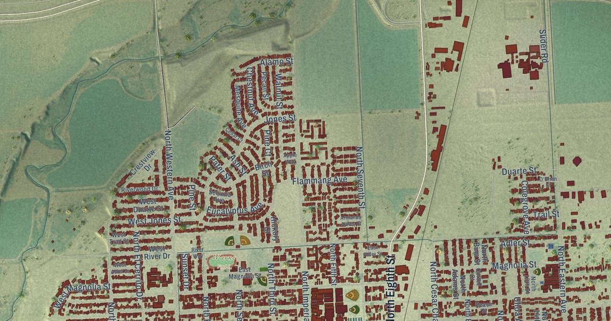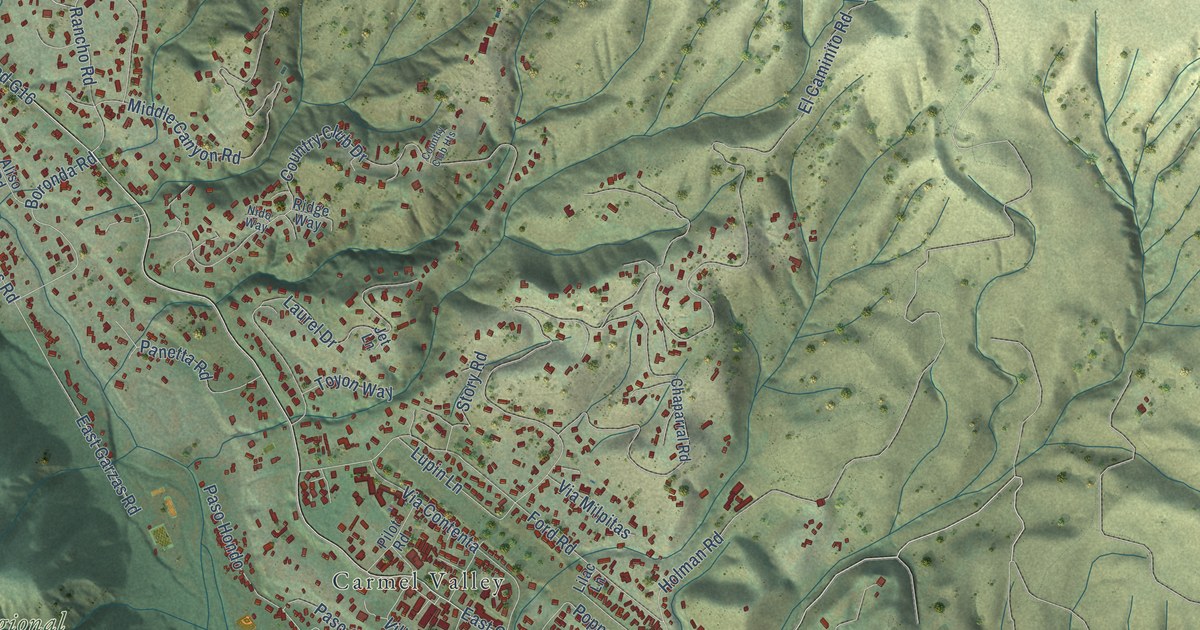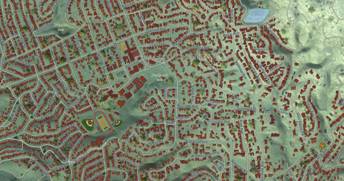
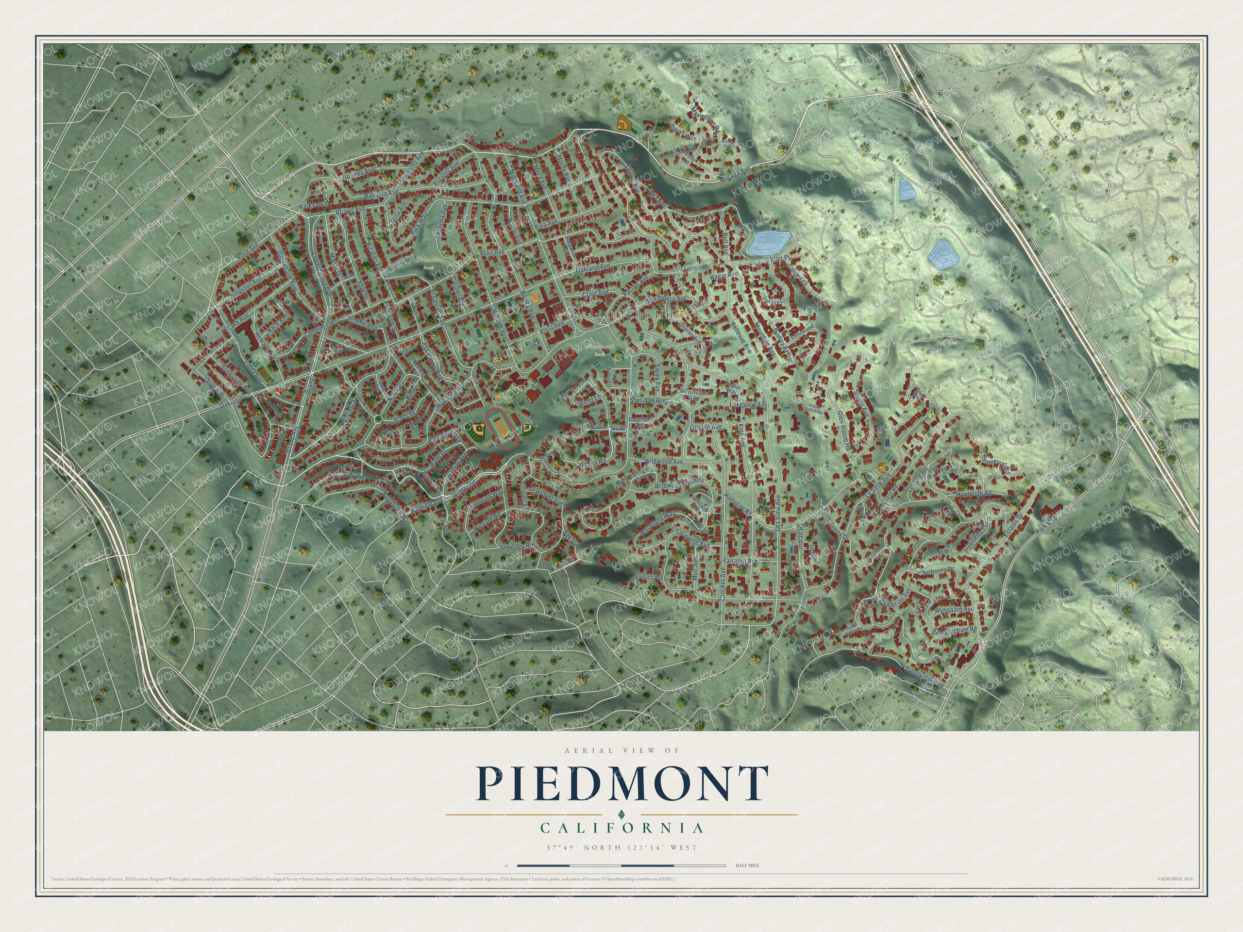
This beautifully detailed map of Piedmont, California was created in 2026 using aerial imagery combined with modern topographical, census, street and landmark data. It's a modern aerial view of Piedmont in Alameda County, California, that combines modern data with a vintage aesthetic. The roads feature printed names, and if you look closely you can find your exact house accurately shown in its correct location.
Explore an aerial view of Piedmont, California
On this map you'll find Piedmont City Hall, Piedmont Park, Dracena Park, Wildwood Avenue, Grand, Moraga Avenue, Grand Avenue, Oak Road, Fairview Avenue, Wildwood Gardens, Kingston Avenue, Rose Avenue, and more. Each red shape is a building, so zoom in on the preview and look for yours.
Piedmont has a story worth telling. The National Park Service puts it this way: "The Wetmore House is of Southern Victorian style with a ten foot wide veranda on the north, west and south sides."
Piedmont is a city in Alameda County. The Census Bureau counted 11,270 people here in 2020.
Take a closer look at the Piedmont map
Names on this map
These names are printed on this map.
Places: Piedmont City Hall, Piedmont Park and Dracena Park.
Streets and roads: Wildwood Avenue, Grand, Moraga Avenue, Grand Avenue, Oak Road, Fairview Avenue, Wildwood Gardens, Kingston Avenue, Rose Avenue, Wildwood, Hazel, Requa Road.
More street names, A to Z
Abbott Way, Alta Avenue, Annerley Road, Arbor Drive, Arroyo Avenue, Artuna Avenue, Bell Avenue, Bellevue Avenue, Blair Avenue, Blair Place, Bonita Avenue, Boulevard Way, Calvert Court, Cambrian Avenue, Cambridge Way, Caperton Avenue, Carmel Avenue, Craig Avenue, Crest Road, Crocker Avenue, Dale Avenue, Dormidera Avenue, Dracena Avenue, Dudley Avenue, Dudley Court, Echo Lane, El Cerrito Avenue, Estates Drive, Estrella Avenue, Farragut Avenue, Florada Avenue, Glen Alpine Road, Greenbank Avenue, Guilford Road, Hagar Avenue, Hampton Road, Hardwick Avenue, Harvard Road, Hazel Lane, Highland Avenue, Hill Lane, Hillside Avenue, Holly Place, Howard Avenue, Huntleigh Road, Indian, Indian Gulch Road, Indian Road, Inverleith Terrace, Jerome Avenue, Keefer Court, King Avenue, Lafayette Avenue, Lake Avenue, Lakeview Avenue, La Salle Avenue, La Salle Court, Latham Street, Lexford Road, Lincoln Avenue, Linda Avenue, Littlewood Drive, Lorita Avenue, Lower Grand Avenue, Magnolia Avenue, Manor Drive, Maxwelton Road, Mesa Avenue, Monte Avenue, Monticello Avenue, Mountain Avenue, Muir Avenue, Nace Avenue, Nellie Avenue, Nova Drive, Oakland, Oakland Avenue, Oakmont Avenue, Olive Avenue, Pacific Avenue, Pala Avenue, Palm Drive, Park Boulevard, Park Lane, Parkside Drive, Park View Avenue, Park Way, Poplar Way, Prospect Road, Ramona Avenue, Ranleigh Way, Requa Place, Ricardo Avenue, Richardson Way, Ronada Avenue, Saint James Drive, Saint James Place, San Carlos Avenue, Sandringham Road, Scenic Avenue, Sea View Avenue, Selborne Drive, Sharon Avenue, Sheridan Avenue, Sierra Avenue, Somerset Road, Sotelo Avenue, Sunnyside Avenue, Sylvan Way, Trestle Glen Road, Tyson Circle, Vista Avenue, Waldo Avenue, Wallace Road, Warfield Avenue, Winsor Avenue, Wistaria Way, Woodland Way, Wyngaard Avenue, York Drive.
Created by KNOWOL in 2026. The buildings are small red shapes, the roads carry their printed names, and shaded relief shows the shape of the land. The title panel reads "AERIAL VIEW OF PIEDMONT CALIFORNIA" with 37°49' NORTH 122°14' WEST.
It looks right in a kitchen, an office or a den, and it's a gift for anyone who grew up in Piedmont or moved away. Open the preview and find your street. See sizes and frames for the Piedmont map.