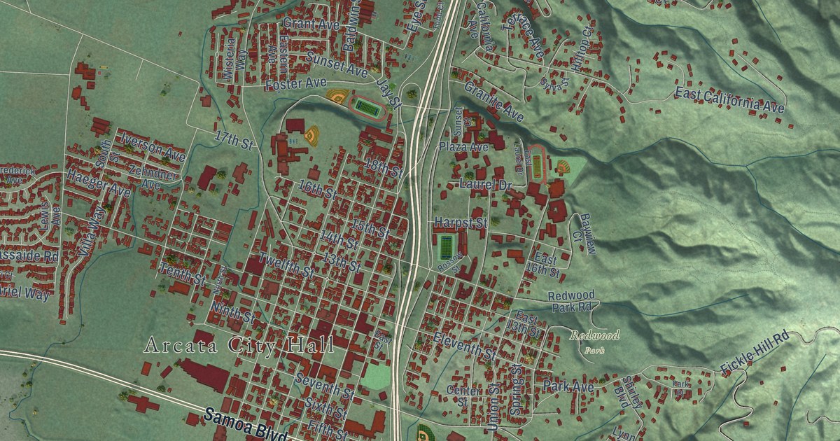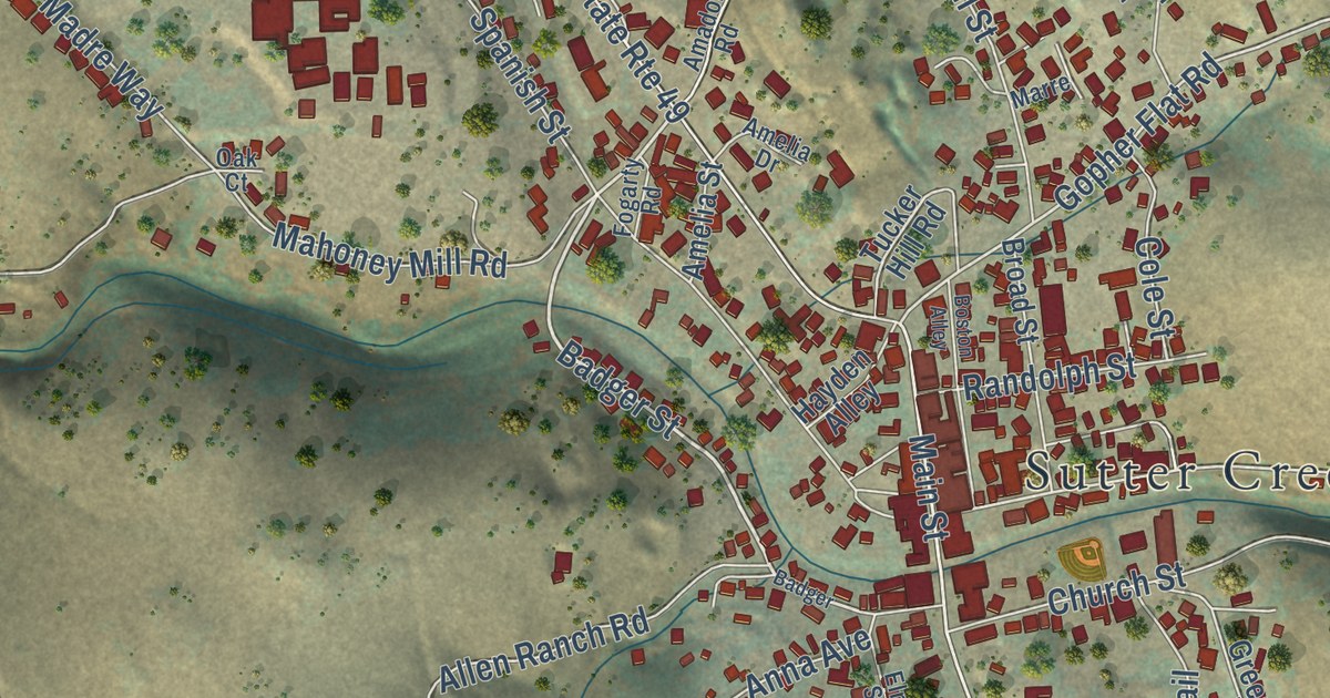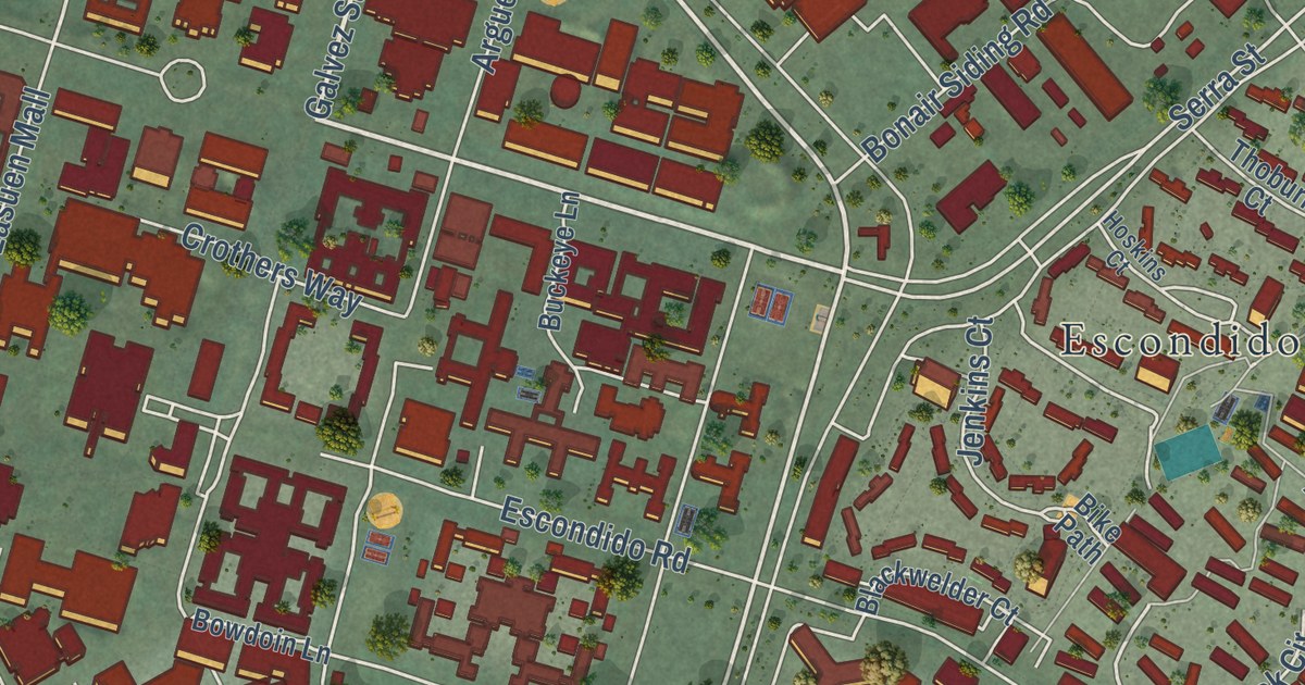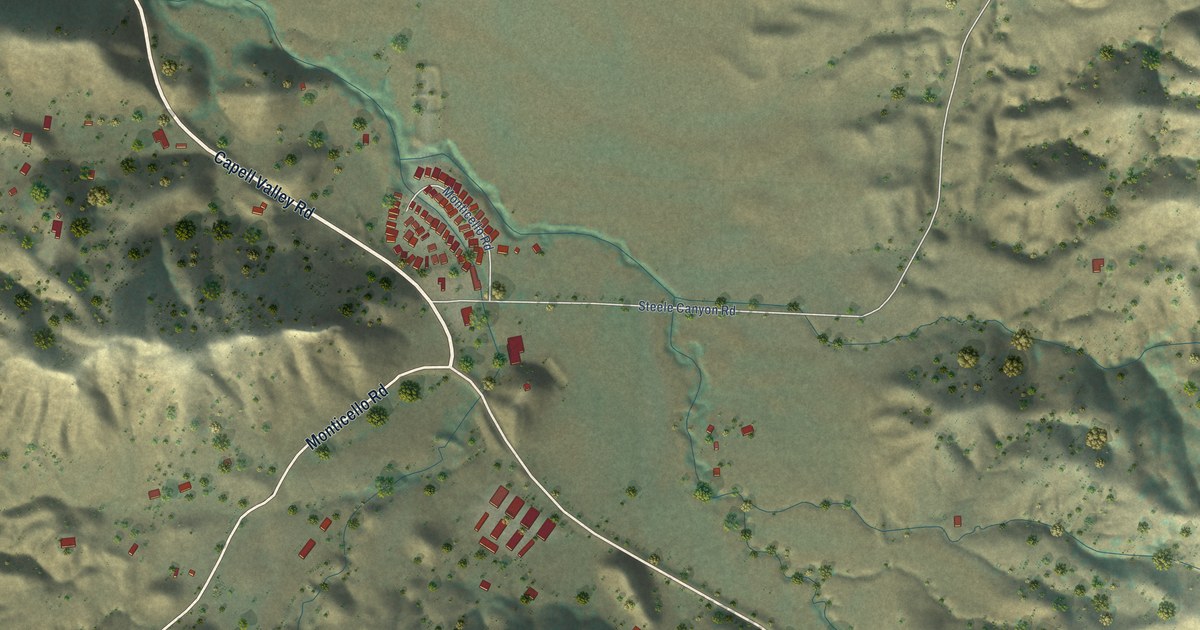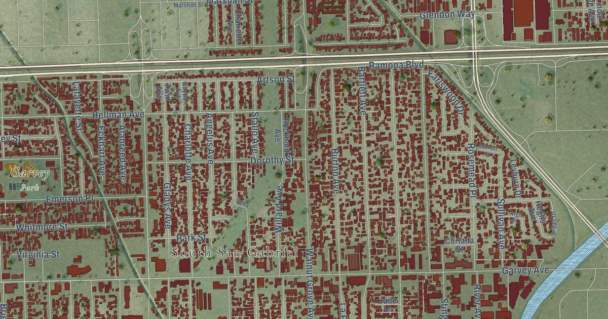
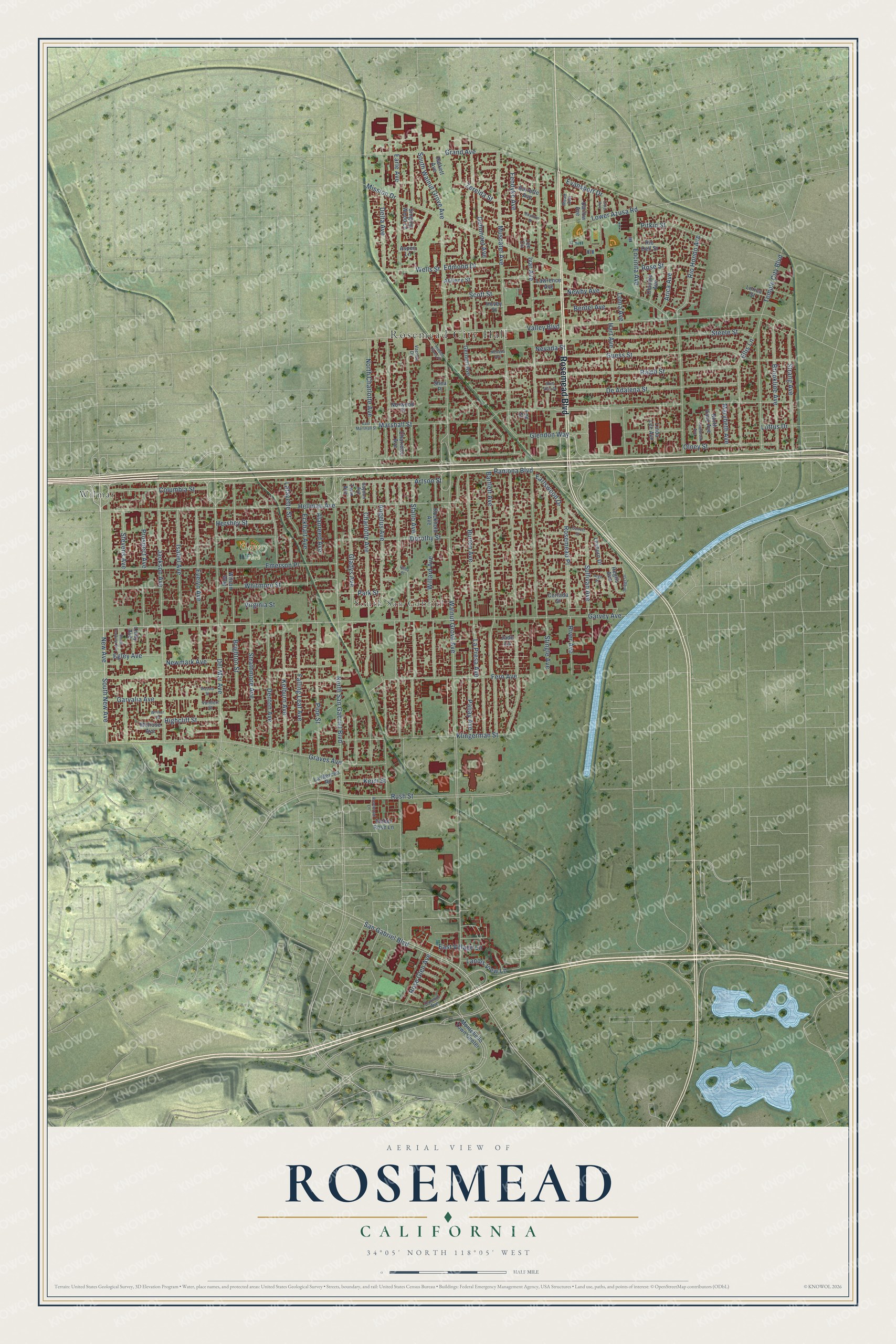
This beautifully detailed map of Rosemead, California was created in 2026 using aerial imagery combined with modern topographical, census, street and landmark data. It’s a one-of-a-kind view of Rosemead that combines accurate data with a vintage aesthetic. The map shows every building in its true location, many of the roads carry their names, and the shaded topographic relief shows the shape of the land.
Explore an aerial view of Rosemead, California
On the map you’ll find Rosemead City Hall, South San Gabriel, Garvey Park, and Wilmar, along with Rosemead Boulevard, New Avenue, South New Avenue, Garvey Avenue, Hellman Avenue, Angelus Avenue, Lower Azusa Road, Valley Boulevard, and more. If you look closely you can even find your house accurately drawn in its correct location. Zoom in on the preview to look for yours.
Did you know this piece of Rosemead, California history?
From the City of Rosemead: "Once a lush green pasture extending from the Los Angeles River east to the Pomona area, Rosemead was indeed a fine place for early settlers to raise fruits, vegetables, grain and feed."
Take a closer look at the Rosemead map
Street and place names on the Rosemead, California map
These names are printed on the map of Rosemead, California.
Places: Rosemead City Hall, South San Gabriel, Garvey Park and Wilmar.
Streets and roads: Rosemead Boulevard, New Avenue, South New Avenue, Garvey Avenue, Hellman Avenue, Angelus Avenue, Lower Azusa Road, Valley Boulevard, Ramona Boulevard, Wells Street, Walnut Grove Avenue, Muscatel Avenue.
More street names, A to Z
Abilene Street, Alanreed Avenue, Amber Rose Lane, Argo Place, Arica Avenue, Artson Street, Aspen Lane, Barrette Avenue, Bartlett Avenue, Bentel Avenue, Boydton Street, Brighton Street, Brookline Avenue, Burton Avenue, Chariette Avenue, Charlotte Avenue, Claudia Avenue, Columbia Street, Cortada Street, Darlow Avenue, De Adalena Street, Del Mar Avenue, Delta Avenue, Delta Place, Denton Avenue, Dorothy Street, Driggs Drive, Dubonnet Avenue, Earle Avenue, Earlswood Drive, East Marshall Street, East Village Lane, Eckhart Avenue, Edda Villa Drive, Edmond Drive, Egley Avenue, Ellis Lane, Emerson Place, Encinita Avenue, Evansport Drive, Evelyn Avenue, Falling Leaf Avenue, Fendyke Avenue, Fern Avenue, Garrett Street, Garvalia Avenue, Gaydon Avenue, Gernert Avenue, Gladys Avenue, Glendon Way, Grand Avenue, Graves Avenue, Guess Street, Halkett Avenue, Hart Avenue, Heglis Avenue, Hershey Street, Hidden Pines Place, Highcliff Street, Hovey Street, Isabel Avenue, Ivar Avenue, Jackson Avenue, Jade Lane, Keim Street, Kelburn Avenue, Klingerman Street, Lafayette Street, La Merced Road, Landis View Lane, La Presa Avenue, Lashbrook Avenue, Lawrence Avenue, Lee Circle, Lee Street, Leyburn Drive, Linda Lee Avenue, Lindy Avenue, Livia Avenue, Loftus Drive, Loma Avenue, Lorica Street, Marshall Street, Marybeth Avenue, Mead Avenue, Melrose Avenue, Mission Drive, Montebello Town Center, Nevada Avenue, Nevada Street, Newby Avenue, Newmark Avenue, North Charlotte Avenue, North San Gabriel Boulevard, North Vane Avenue, Norwood Place, Oakmill Avenue, Olney Street, Paljay Avenue, Park Street, Pine Street, Pitkin Street, Prospect Avenue, Ralph Street, Rio Dell Street, Rio Hondo Avenue, River Avenue, Rockhold Avenue, Rosebrook Lane, Rose Glen Avenue, Rosemead Place, Rose Street, Rush Street, San Gabriel Boulevard, Scott Street, Shea Place, Singing Wood Lane, South Dequine Avenue, South Walnut Grove Avenue, Stallo Avenue, Steele Street, Stevens Avenue, Stingle Avenue, Strang Avenue, Strathmore Avenue, Sullivan Avenue, Temple City Boulevard, Twin Avenue, Vachon Drive, Vandorf Street, Virginia Street, Wasola Street, Whitmore Street, Willard Avenue, Wilmar Place, Wilson Way, Zerelda Street.
See the Rosemead, California map on a wall
The Rosemead map as an 18 x 24 inch print in a black frame.

This beautifully detailed map of Rosemead makes an attractive addition to your office, library, or den, and it can even be used to teach children the geography and history of the area. It also makes a great gift for anyone with Rosemead roots. When you’re done exploring, click here to get your copy of the Rosemead map.