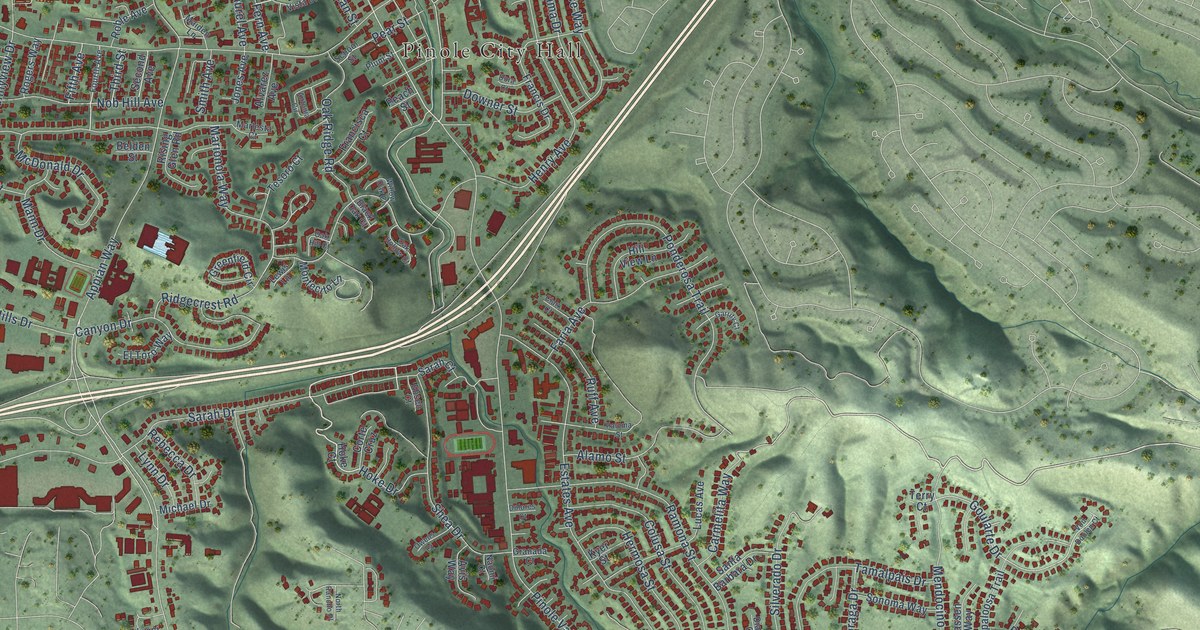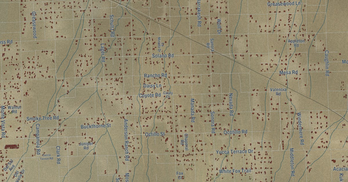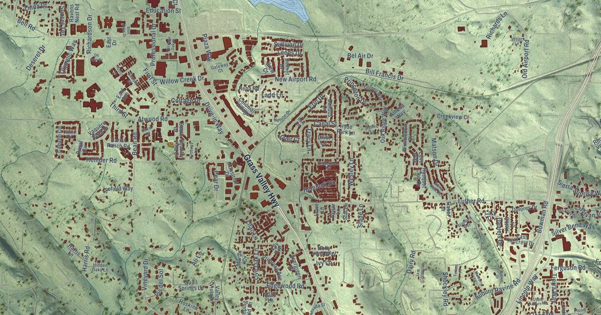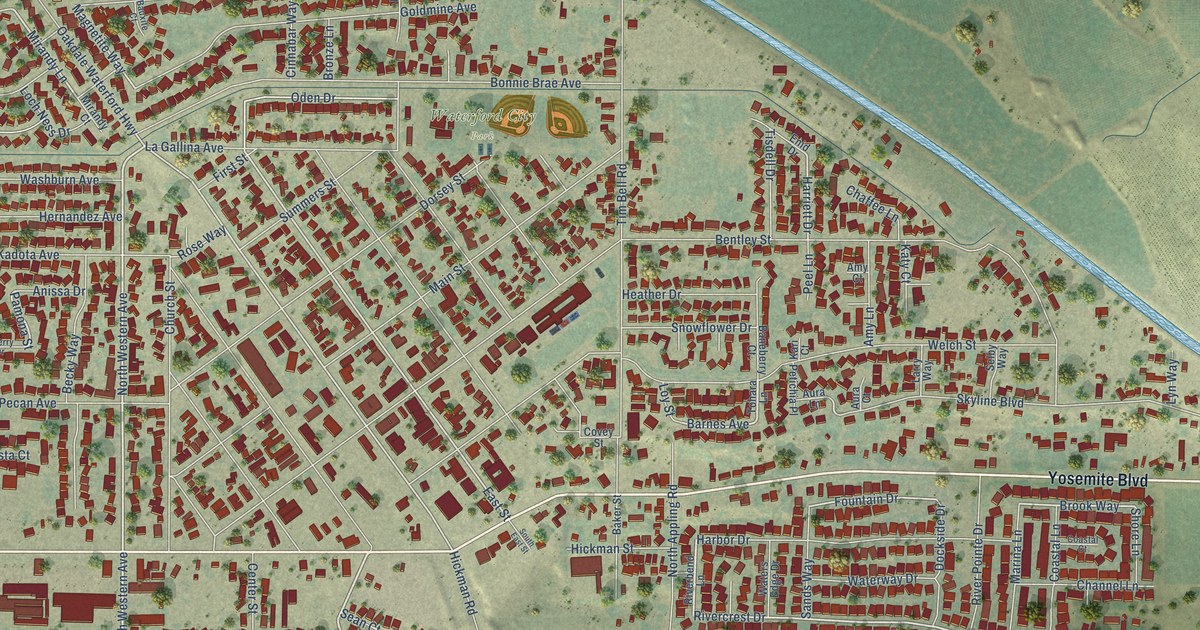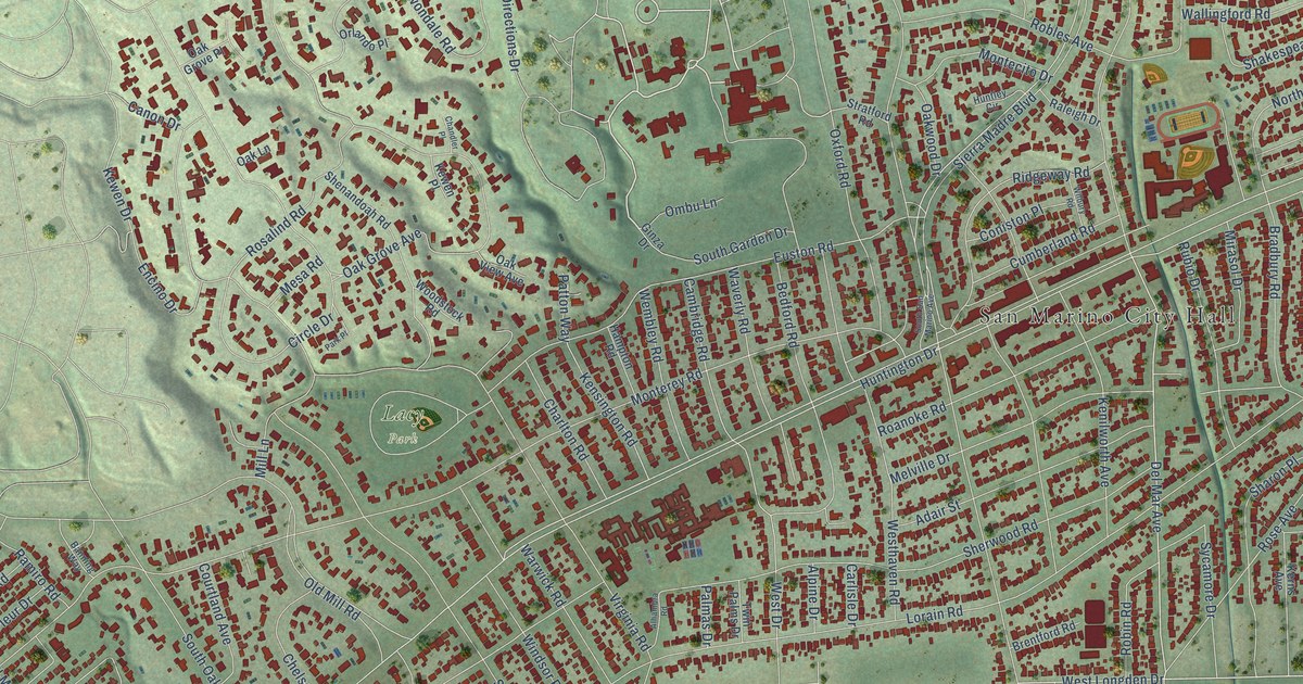
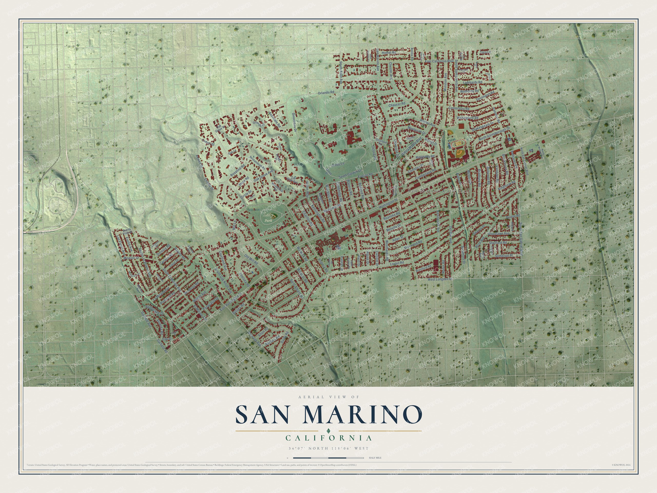
This beautifully detailed map of San Marino, California was created in 2026 using aerial imagery combined with modern topographical, census, street and landmark data. It's a modern aerial view of San Marino in Los Angeles County, California, that combines modern data with a vintage aesthetic. The roads feature printed names, and if you look closely you can find your exact house accurately shown in its correct location.
Explore an aerial view of San Marino, California
On this map you'll find San Marino City Hall, Lacy Park, Del Mar Avenue, South El Molino Avenue, West Longden Drive, East Huntington Drive, Huntington Drive, Winthrop Road, Kewen Drive, Kensington Road, West Drive, Roxbury Road, and more. Each red shape is a building, so zoom in on the preview and look for yours.
Here is a piece of San Marino history, in the words of the record. The record at ohp.parks.ca.gov puts it this way: "The first schoolhouse in the San Gabriel Valley, California's first tennis club, and the first municipal Christmas tree of San Marino were located here."
San Marino is a city in Los Angeles County. The Census Bureau counted 12,513 people here in 2020.
Take a closer look at the San Marino map
Names on this map
These names are printed on this map.
Places: San Marino City Hall and Lacy Park.
Streets and roads: Del Mar Avenue, South El Molino Avenue, West Longden Drive, East Huntington Drive, Huntington Drive, Winthrop Road, Kewen Drive, Kensington Road, West Drive, Roxbury Road, Lorain Road, Monterey Road.
More street names, A to Z
Adair Street, Afton Road, Alegria Place, Alhambra Road, Alpine Drive, Ardmore Road, Ashbourne Drive, Avondale Road, Avonrea Road, Banning Way, Bedford Road, Belhaven Road, Bellwood Road, Blackstone Road, Bonita Avenue, Bradbury Road, Brentford Road, Buena Vista Street, Cambridge Road, Canon Drive, Canterbury Road, Carlaris Road, Carlisle Drive, Chandler Place, Charlton Road, Chaucer Road, Chelsea Road, Chester Avenue, Circle Drive, Coniston Place, Courtland Avenue, Cumberland Road, Darby Road, Devonport Road, Directions Drive, Doresta Road, Duarte Road, East California Boulevard, El Molino Avenue, Encino Drive, Endicott Road, Euclid Avenue, Euston Road, Fairfield Place, Fleur Drive, Garfield Avenue, Garfield Road, Ginza Drive, Granada Avenue, Hampton Road, Hilliard Drive, Homet Road, Huntley Circle, Kenilworth Avenue, Kerns Avenue, Kewen Place, Kinghurst Road, La Mirada Avenue, La Paz Drive, Las Flores Avenue, Lombardy Place, Lombardy Road, Marino Terrace, McFarlane Street, Melville Drive, Mesa Road, Mill Lane, Mirasol Drive, Mission Street, Montecito Drive, Montrobles Place, North Gainsborough Drive, North San Gabriel Boulevard, North Willard Avenue, Oak Grove Avenue, Oak Grove Place, Oak Lane, Oak Street, Oak View Avenue, Oakwood Drive, Old Mill Road, Ombu Lane, Orlando Place, Orlando Road, Oxford Road, Palmas Drive, Palomar Road, Park Place, Pasqualito Drive, Patton Way, Pilgrim Place, Plymouth Road, Raleigh Drive, Ramiro Road, Ridgeway Road, Roanoke Road, Robin Road, Robles Avenue, Rosalind Road, Rose Avenue, Rubio Drive, Saint Albans Road, San Marino Avenue, Shakespeare Drive, Sharon Place, Sheffield Road, Shenandoah Road, Sherwood Road, Sierra Madre Boulevard, Sierra Vista Avenue, Somerset Place, South Allen Avenue, South Berkeley Avenue, South Garden Drive, South Los Robles Avenue, South Oak Knoll Avenue, South San Gabriel Boulevard, South San Marino Avenue, South Santa Anita Avenue, Stratford Road, Sussex Road, Sycamore Drive, Tura Lane, Twin Palms Drive, Vandyke Road, Virginia Road, Wallingford Road, Warwick Road, Waverly Road, Wembley Road, Westhaven Road, Wetherby Road, Wilbury Road, Wilson Avenue, Windsor Road, Winston Avenue, Woodlawn Avenue, Woodstock Road.
Created by KNOWOL in 2026. The buildings are small red shapes, the roads carry their printed names, and shaded relief shows the shape of the land. The title panel reads "AERIAL VIEW OF SAN MARINO CALIFORNIA" with 34°07' NORTH 118°06' WEST.
It suits a den, a classroom or a front hall, and it makes a gift for anyone with San Marino roots. Open the preview and find the block you know. See sizes and frames for the San Marino map.