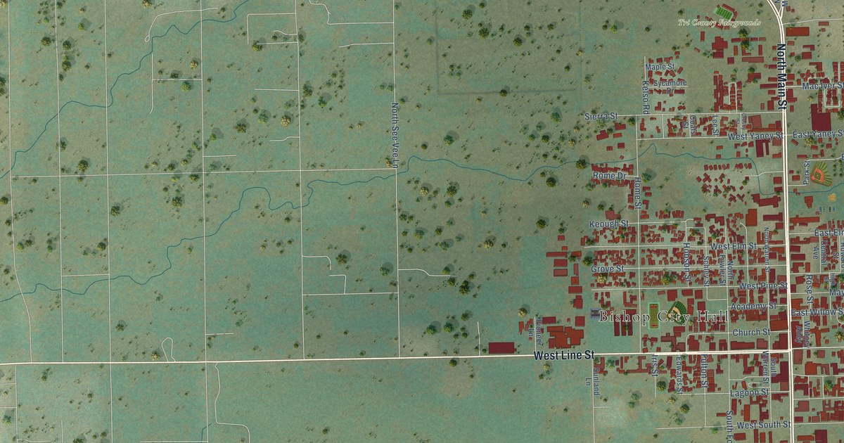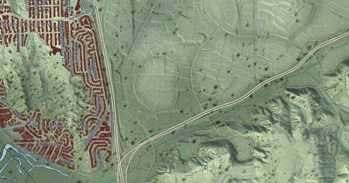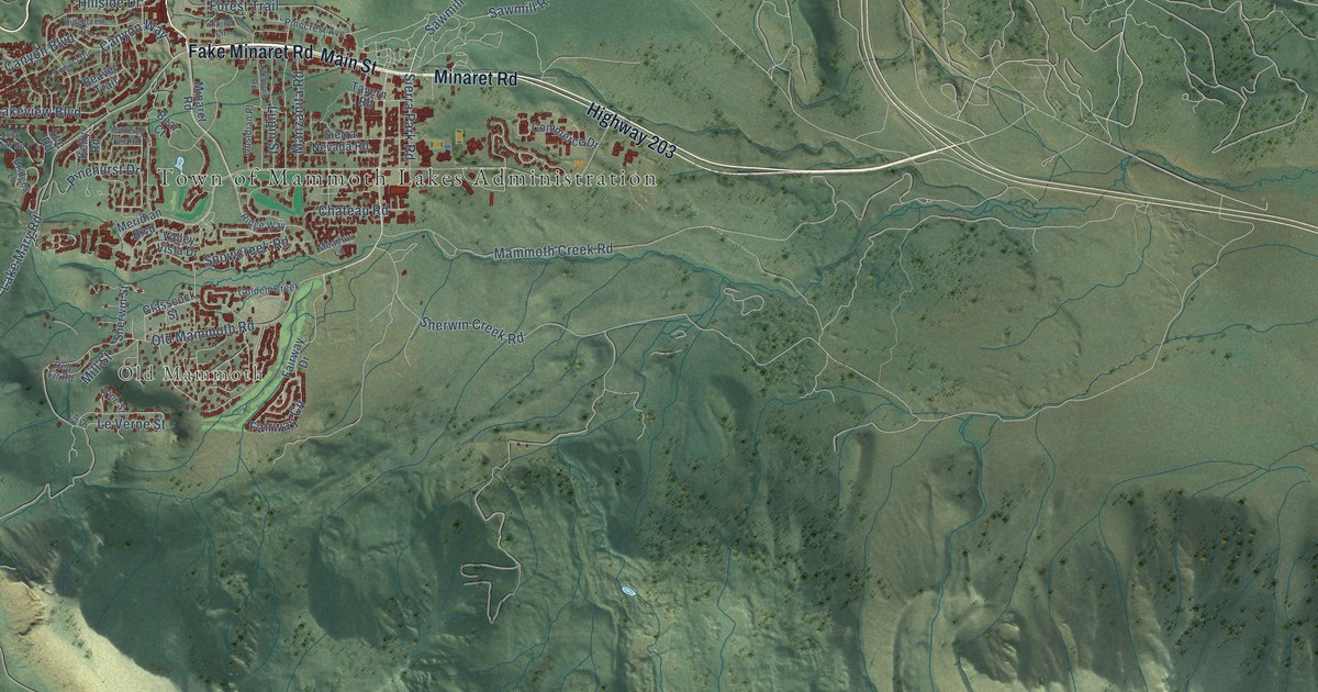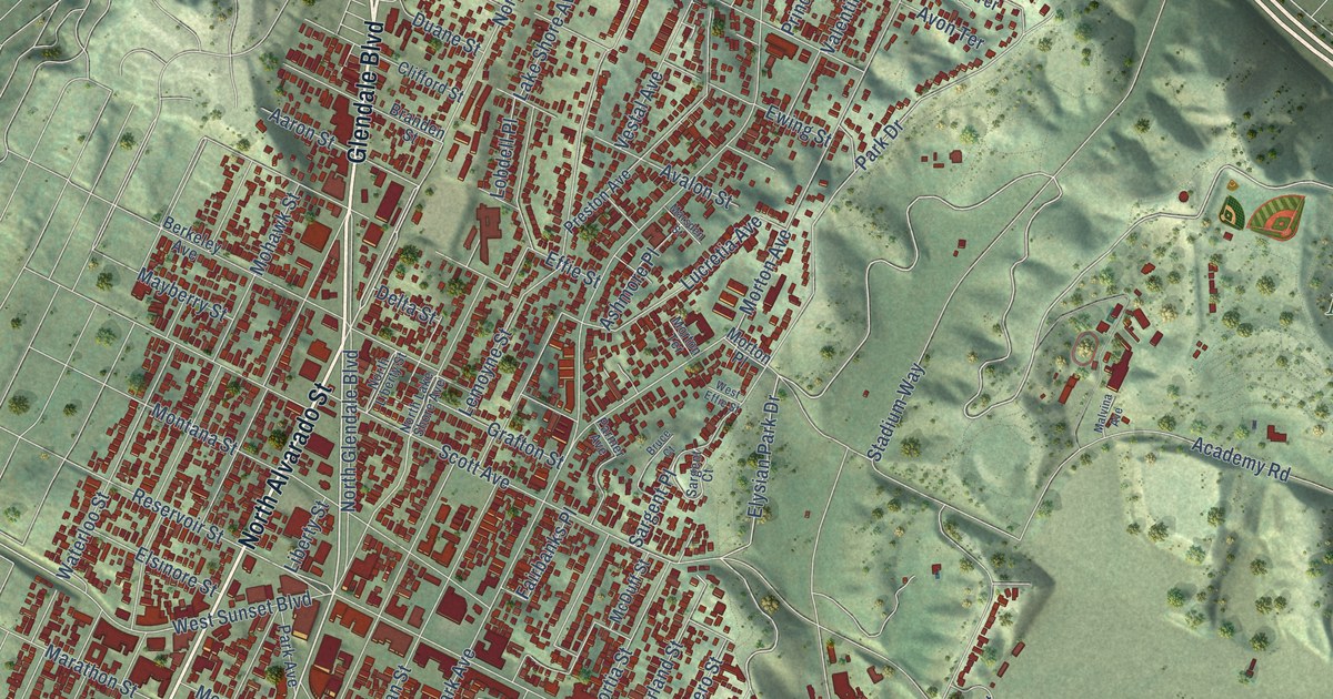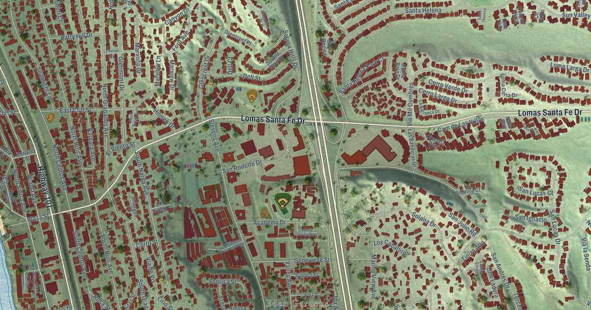
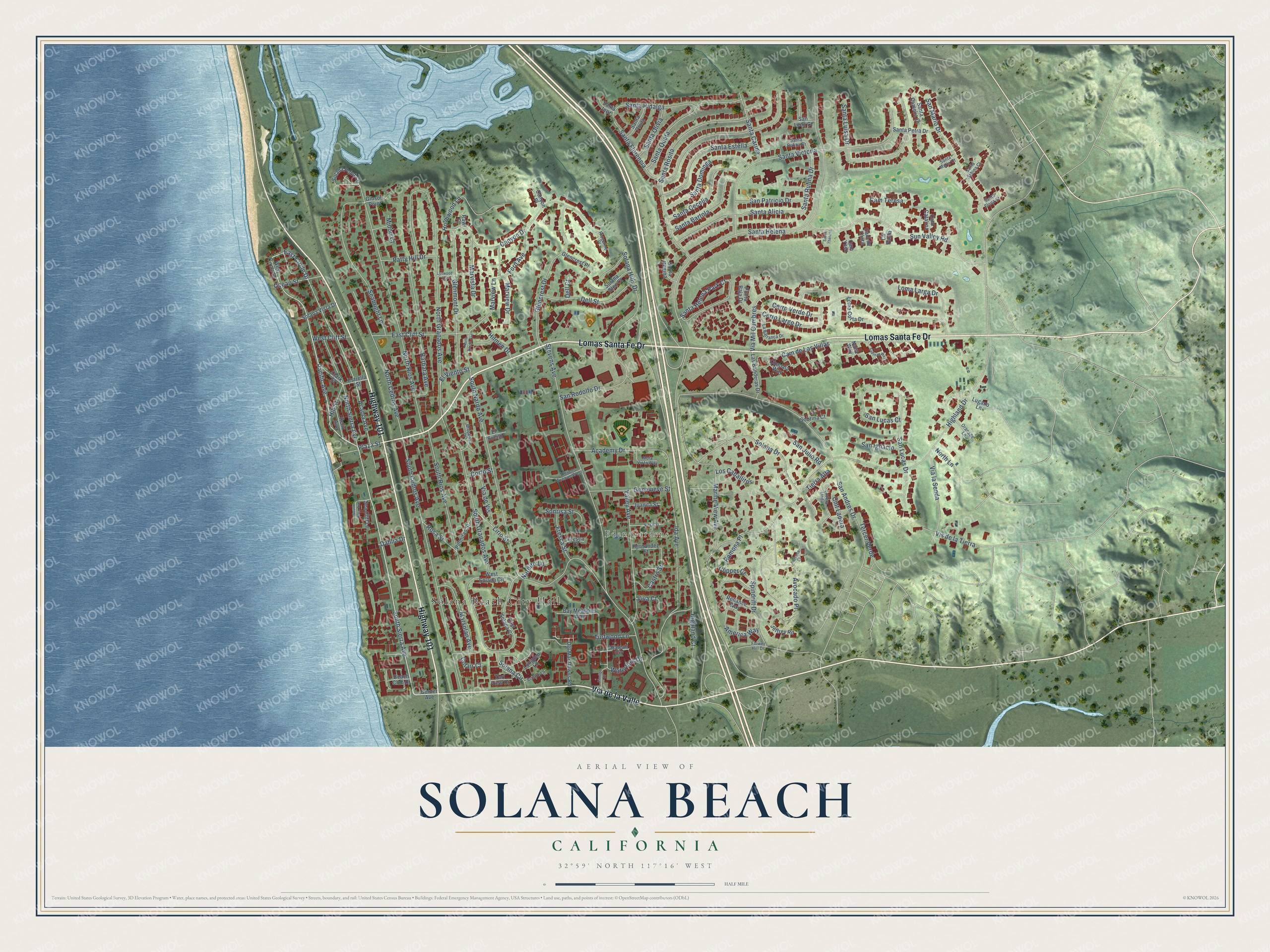
This beautifully detailed map of Solana Beach, California was created in 2026 using aerial imagery combined with modern topographical, census, street and landmark data. It's a modern aerial view of Solana Beach in San Diego County, California, that combines modern data with a vintage aesthetic. The roads feature printed names, and if you look closely you can find your exact house accurately shown in its correct location.
Explore an aerial view of Solana Beach, California
On this map you'll find Solana Beach City Hall, Eden Gardens, Lomas Santa Fe Drive, Highway 101, Via de la Valle, South Sierra Avenue, Pacific Avenue, Plaza Street, East Circle Drive, Acacia Avenue, South Rios Avenue, Marview Lane, and more. Each red shape is a building, so zoom in on the preview and look for yours.
Solana Beach is a city in San Diego County. The Census Bureau counted 12,941 people here in 2020. The map prints the town name in its title panel, with the coordinates below it.
Take a closer look at the Solana Beach map
Names on this map
These names are printed on this map.
Places: Solana Beach City Hall and Eden Gardens.
Streets and roads: Lomas Santa Fe Drive, Highway 101, Via de la Valle, South Sierra Avenue, Pacific Avenue, Plaza Street, East Circle Drive, Acacia Avenue, South Rios Avenue, Marview Lane, Highland Drive, Santa Helena.
More street names, A to Z
Academy Drive, America Way, Arcaro Lane, Avocado Court, Avocado Place, Barbara Avenue, Bay Meadows Way, Beach Club Drive, Border Avenue, Brookdale Place, Cam Catalina, Cam de Clara, Cam de Las Villas, Cam Teresa, Cam Ynez, Canyon Drive, Canyon Place, Castro Street, Cerro Largo Drive, Cerro Verde Drive, Chapala Way, Clark Street, Clipper Court, Cll Paula, Cmt Ladera, Cofair Court, Corto Street, Dahlia Drive, Dell Court, Dell Street, Del Mar Downs Road, East Cliff Street, East Solana Circle, El Sueno, El Viento Street, Estrella Street, Flower Hill Drive, Ford Avenue, Fresca Court, Fresca Street, Genevieve Street, Gibson Point, Glencrest Drive, Glencrest Place, Glenmont Drive, Helix Avenue, Hernandez Street, Hialeah Circle, Highland Court, Hill Street, Hilmen Drive, Holmwood Lane, Ida Avenue, Jeffrey Road, Juanita Street, La Barranca Drive, Ladera Linda, Las Banderas Drive, La Sobrina Court, Lirio Street, Loma Corta Drive, Loma Larga Drive, Longden Lane, Los Caballitos, Lugano Lane, Lynwood Avenue, Marine View Avenue, Marsolan Avenue, Marview Drive, Marvista Drive, Midori Court, Mola Vista Way, Nardito Lane, Nava Way, North Cedros Avenue, North Granados Avenue, North Lane, North Nardo Avenue, North Rios Avenue, North Sierra Avenue, Ocean Street, Oranado Lane, Palmitas Street, Patty Hill Drive, Pimlico Drive, Punta Baja Drive, Ramona Place, Rawl Place, Reliance Way, Ridgeline Place, Rosa Street, Sabinas Way, San Andres Drive, San Ignacio, San Julio Road, San Leon Court, San Lucas Court, San Lucas Drive, San Mario Drive, San Patricio Drive, San Rodolfo Drive, Santa Alicia, Santa Bartola, Santa Camelia Drive, Santa Carina, Santa Cecelia, Santa Dominga, Santa Elena Court, Santa Estella, Santa Florencia, Santa Helena Park Court, Santa Hidalga, Santa Inez, Santa Luisa Drive, Santa Marta Court, Santa Olivia, Santa Paula, Santa Petra Drive, Santa Queta, Santa Regina, Santa Rosita, Santa Rufina Court, Santa Rufina Drive, Santa Sabina Court, Santa Theresa, Santa Victoria, Seabright Lane, Sea Cliff Lane, Solana Circle, Solana Drive, Solana Glen Court, Solana Hills Drive, Solana Point Circle, Solana Vista Drive, Sonrisa Street, South Cedros Avenue, South Granados Avenue, South Helix Avenue, South Nardo Avenue, Spindrift Drive, Stevens Avenue, Stevens Avenue West, Sun Valley Road, Tercer Verde, Tierra Alta, Turf View Drive, Turfwood Lane, Valley Avenue, Vera Street, Via de Vis, Via la Senda, Via Mil Cumbres, Vis de la Tierra, Viva Court, Waterford Drive, West Circle Drive, West Cliff Street, West Solana Circle.
Created by KNOWOL in 2026. The buildings are small red shapes, the roads carry their printed names, and shaded relief shows the shape of the land. The title panel reads "AERIAL VIEW OF SOLANA BEACH CALIFORNIA" with 32°59' NORTH 117°16' WEST.
Hang it in the hallway, the office or the cabin, or give it to someone who left Solana Beach and still calls it home. Open the preview and look for a street you know. See sizes and frames for the Solana Beach map.