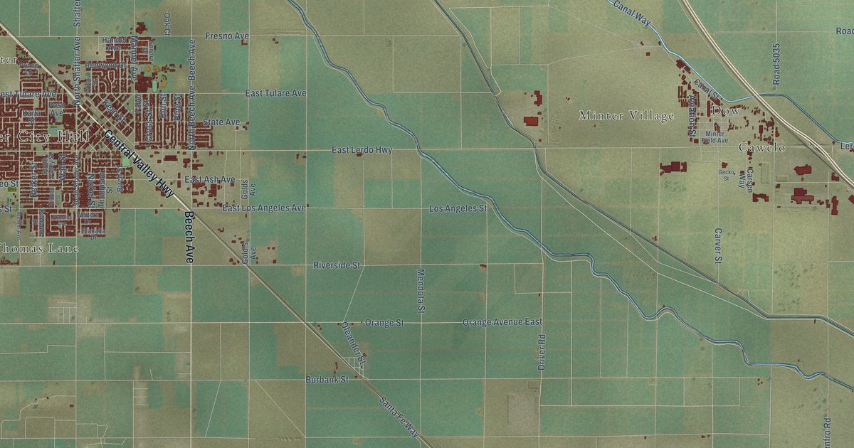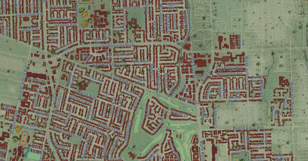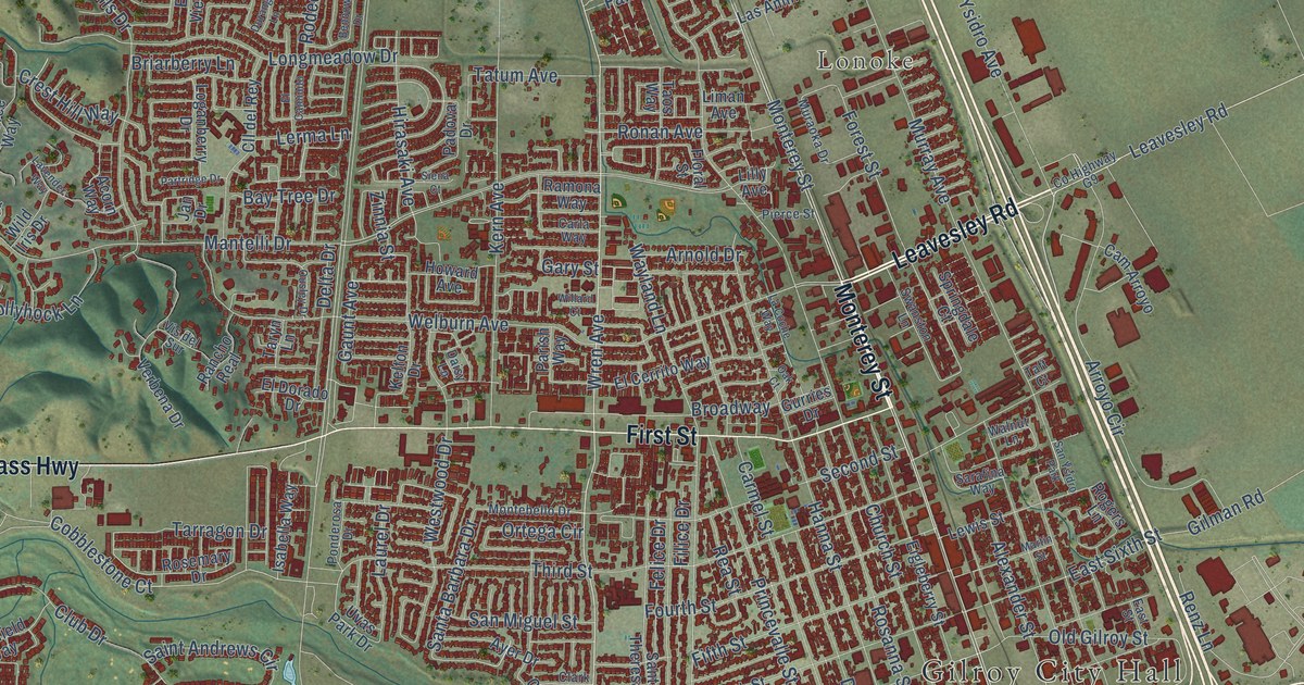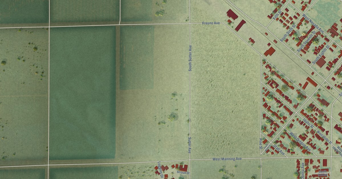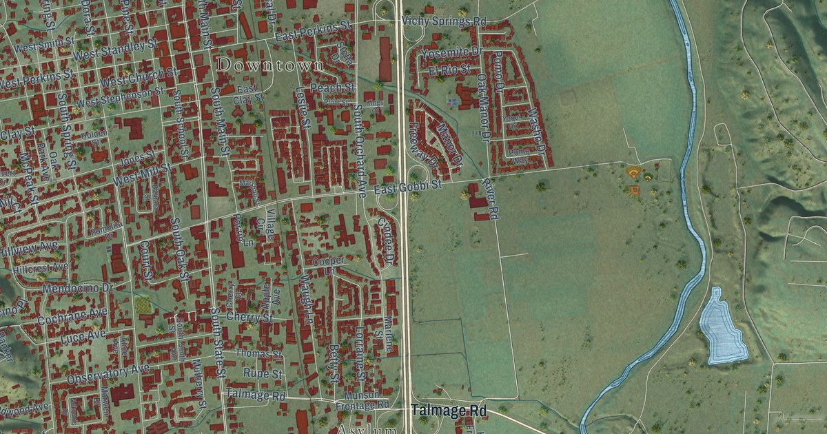
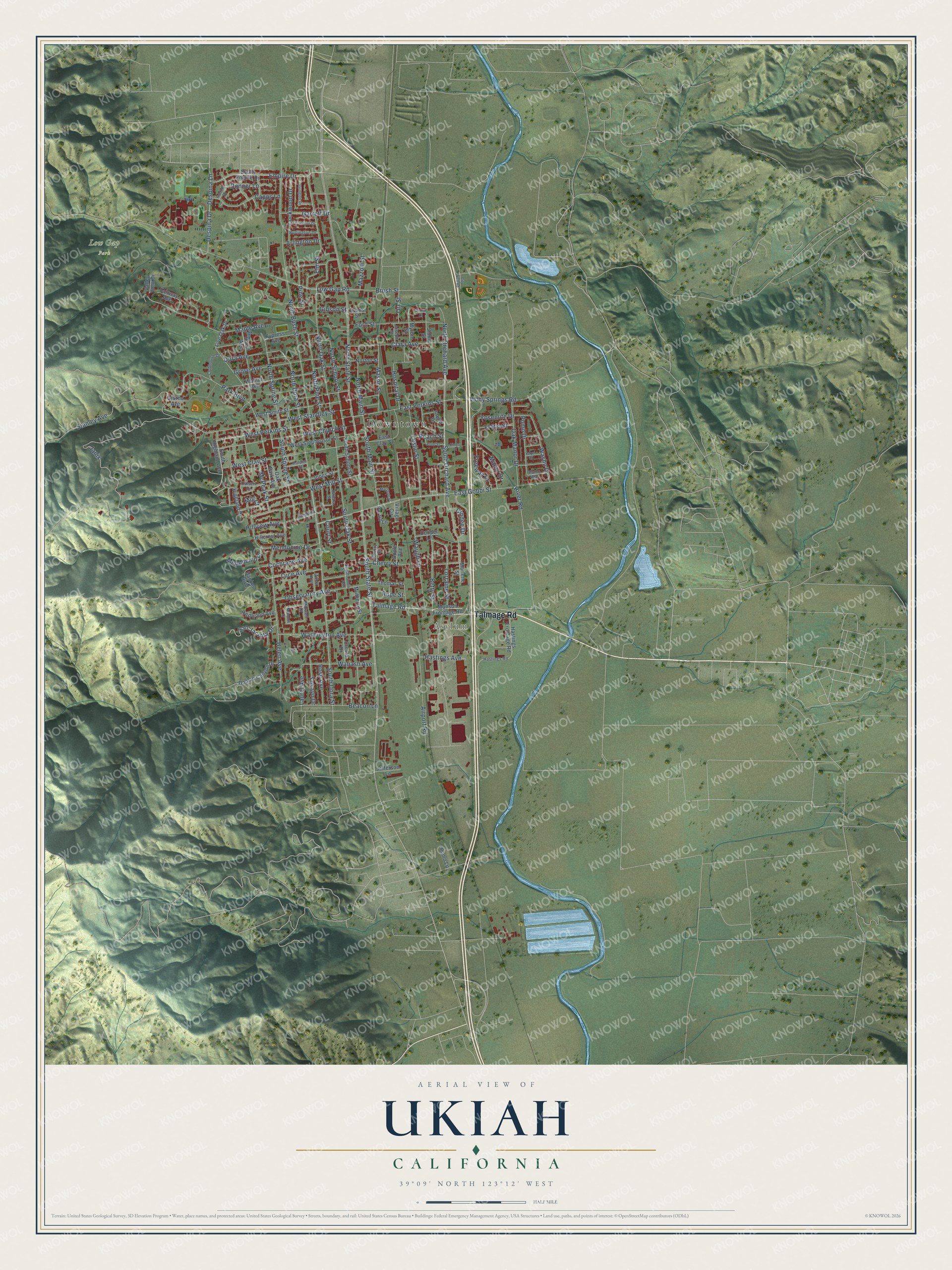
This beautifully detailed map of Ukiah, California was created in 2026 using aerial imagery combined with modern topographical, census, street and landmark data. It's a modern aerial view of Ukiah in Mendocino County, California, that combines modern data with a vintage aesthetic. The roads feature printed names, and if you look closely you can find your exact house accurately shown in its correct location.
Explore an aerial view of Ukiah, California
On this map you'll find Downtown, Asylum, Low Gap Park, Talmage Road, South State Street, West Perkins Street, East Perkins Street, North Orchard Avenue, North State Street, South Orchard Avenue, South Dora Street, South Main Street, and more. Each red shape is a building, so zoom in on the preview and look for yours.
Here is a piece of Ukiah history, in the words of the record. The record at ohp.parks.ca.gov puts it this way: "Ukiah Vichy represents one of the oldest and one of the few continuously operating mineral springs in California."
Ukiah is a city in Mendocino County. The Census Bureau counted 16,607 people here in 2020.
Take a closer look at the Ukiah map
Names on this map
These names are printed on this map.
Places: Downtown, Asylum and Low Gap Park.
Streets and roads: Talmage Road, South State Street, West Perkins Street, East Perkins Street, North Orchard Avenue, North State Street, South Orchard Avenue, South Dora Street, South Main Street, East Gobbi Street, Washington Avenue, Janix.
More street names, A to Z
Airport Road, Alice Avenue, Apple Avenue, Arlington Drive, Banker Boulevard, Barbara Street, Beacon Lane, Betty Street, Brush Street, Burlington Drive, Calvert Drive, Capps Lane, Carleton Drive, Cherry Court, Cherry Street, Cindee Drive, City Well Road, Clara Avenue, Clubhouse Drive, Cochrane Avenue, Cooper Lane, Court Street, Cresta Drive, Cypress Avenue, Despina Drive, Despina Lane, Donner Lane, Doolan Canyon Drive, Dora Avenue, East Clay Street, Elm Street, El Rio Street, Empire Drive, Evans Street, Fairway Avenue, Ford Street, Freeway Drive, Garrett Drive, Gibson Street, Giorno Avenue, Grove Avenue, Hastings Avenue, Hastings Frontage Road, Hastings Road, Hazel Avenue, Helen Avenue, Highland Drive, Hillcrest Avenue, Hillview Avenue, Holden Street, Hospital Drive, Incline Drive, Irvington Drive, Jefferson Lane, Jones Street, Joseph Street, Kings Court, Laurel Avenue, Leslie Street, Live Oak Drive, Lockwood Drive, Lorraine Street, Low Gap Road, Luce Avenue, Manor Drive, Maple Avenue, Marlene Street, Marshall Street, Marwen Drive, Mason Street, Mazzoni Street, McPeak Street, Mendocino Drive, Mendocino Place, Mill Court, Mulberry Street, Munson Frontage Road, Myron Street, Nokomis Drive, North Bush Street, North Dora Street, North Main Street, North Oak Street, North Pine Street, North School Street, North Spring Street, Norton Street, Oak Manor Drive, Oak Park Avenue, Observatory Avenue, Orr Street, Park Boulevard, Peach Street, Pine Street, Plum Street, Pomo Drive, Pomo Lane, Pomolita Drive, Pomo Way, Porzio Lane, Redwood Avenue, River Road, Rose Avenue, Rupe Street, San Jacinta Drive, Sidnie Court, Sidnie Street, South Avenue, South Empire Drive, South Highland Avenue, South Oak Street, South School Street, South Spring Street, South Street, Stanley Avenue, Stella Drive, Thomas Street, Valley View Drive, Vichy Springs Road, Village Circle, Wabash Avenue, Walnut Avenue, Washo Drive, Waugh Lane, West Church Street, West Clay Street, West Mill Street, West Smith Street, West Standley Street, West Stephenson Street, Yaqui Drive, Yokayo Drive, Yosemite Drive.
Created by KNOWOL in 2026. The buildings are small red shapes, the roads carry their printed names, and shaded relief shows the shape of the land. The title panel reads "AERIAL VIEW OF UKIAH CALIFORNIA" with 39°09' NORTH 123°12' WEST.
It suits a den, a classroom or a front hall, and it makes a gift for anyone with Ukiah roots. Open the preview and find the block you know. See sizes and frames for the Ukiah map.