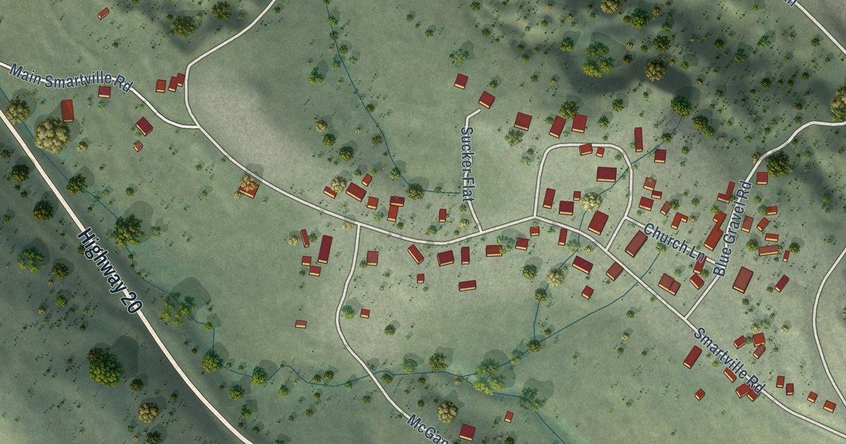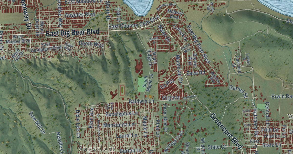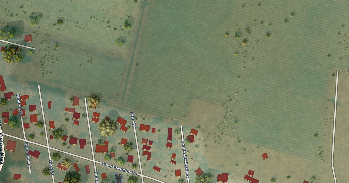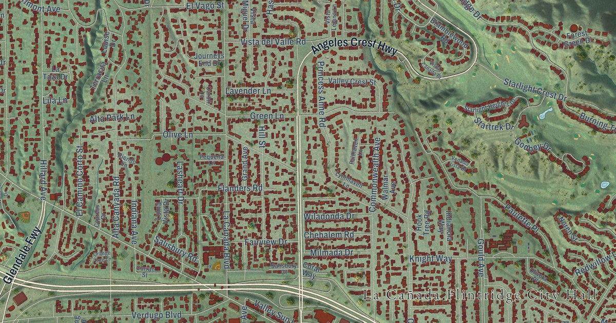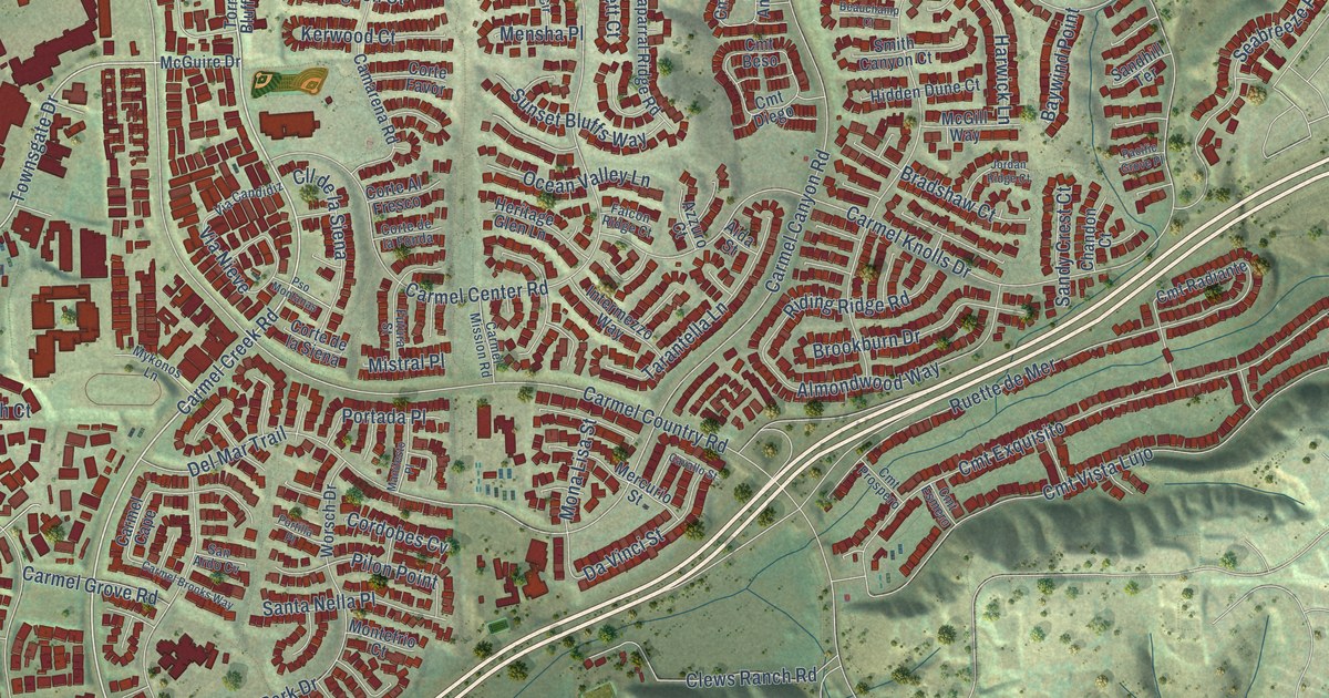
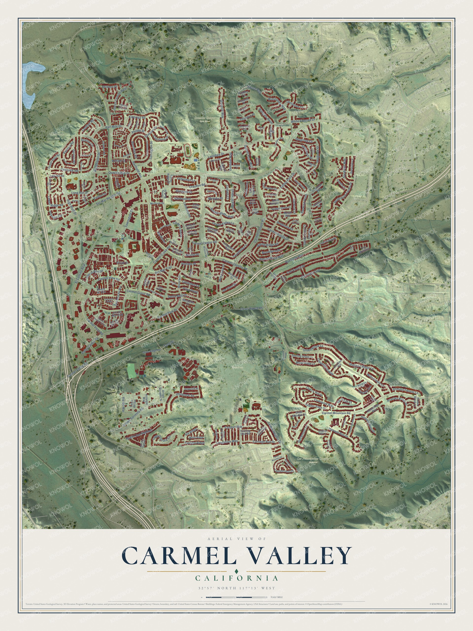
This beautifully detailed map of Carmel Valley, California was created in 2026 using aerial imagery combined with modern topographical, census, street and landmark data. It’s a one-of-a-kind view of Carmel Valley that combines accurate data with a vintage aesthetic. The map shows every building in its true location, many of the roads carry their names, and the shaded topographic relief shows the shape of the land.
Explore an aerial view of Carmel Valley, California
On the map you’ll find Carmel Mountain Preserve, Gonzales Canyon Open Space, Los Peñasquitos Canyon Preserve, and Overlook Park, along with Carmel Creek Road, Graydon Road, Shannon Ridge Lane, Half Mile Drive, Wyndhaven Drive, Sword Way, Sunset Point Way, Townsgate Drive, and more. If you look closely you can even find your house accurately drawn in its correct location. Zoom in on the preview to look for yours.
Did you know this piece of Carmel Valley, California history?
From the City of San Diego: "Around 1905 the Carmelite Sisters of Mercy established a dairy farm and monastery in the area."
Carmel Valley is a place in San Diego County.
Take a closer look at the Carmel Valley map
Street and place names on the Carmel Valley, California map
These names are printed on the map of Carmel Valley, California.
Places: Carmel Mountain Preserve, Gonzales Canyon Open Space, Los Peñasquitos Canyon Preserve and Overlook Park.
Streets and roads: Carmel Creek Road, Graydon Road, Shannon Ridge Lane, Half Mile Drive, Wyndhaven Drive, Sword Way, Sunset Point Way, Townsgate Drive, Overpark Road, Hartfield Avenue, Grayson Drive, Phildel Street.
More street names, A to Z
Aida Street, Almondwood Way, Amberglades Lane, Arcangel Way, Arroyo Sorrento Place, Arroyo Sorrento Road, Ashley Falls Drive, Azzuro Court, Banfield Court, Bayliss Court, Baywind Point, Beauchamp Court, Benchley Road, Berrydown Way, Bradshaw Court, Briarlake Woods Drive, Brickfield Lane, Brittany Forrest Lane, Brookburn Drive, Cadence Grove Way, Callcott Way, Camarena Road, Caminito Carmel Landing, Candela Place, Canter Heights Drive, Canyon Grv, Capstone Drive, Carmel Brooks Way, Carmel Canyon Road, Carmel Cape, Carmel Center Road, Carmel Country Road, Carmel Grove Road, Carmel Knolls Drive, Carmel Mission Road, Carmel Mountain Road, Carmel Park Drive, Carmel Valley Road, Carmel View Road, Carmel Vista Road, Carriage Run Drive, Cavallo Street, Chandon Court, Chaparral Ridge Road, Chelterham Terrace, Cherry Hill Drive, Claymont Court, Clews Ranch Road, Cll de la Siena, Cloverhurst Way, Cmt Angelico, Cmt Bautizo, Cmt Beso, Cmt Cielo del Mar, Cmt del Mar Cove, Cmt del Mar Surf, Cmt Diego, Cmt el Rincon, Cmt Esmero, Cmt Exquisito, Cmt Mira del Mar, Cmt Mundano, Cmt Prospero, Cmt Radiante, Cmt Vello, Cmt Vista Lujo, Coach Lane, Concannon Court, Corbett Court, Cordobes Cv, Corte Al Fresco, Corte de la Fonda, Corte de la Siena, Corte Favor, Courtland Terrace, Creststone Place, Da Vinci Street, Del Mar Heights Road, Del Mar Trail, Denara Road, Dressage Lane, Drycliff Trail, Dunham Court, Dunham Way, East San Raphael, El Camino Real, Elijah Court, Exbury Court, Fairport Way, Fairwind Court, Falcon Ridge Court, Fallon Circle, Federman Lane, Finchley Terrace, Foxgrove Place, Foxhound Way, Futura Street, Gaylemont Lane, Glencliff Way, Gracewood Place, Great Meadow Drive, Greenwillow Lane, Harvest Run Drive, Harwick Lane, Havenridge Way, Hayford Way, Heather Ridge Drive, Heritage Glen Lane, Heston Place, Hidden Dune Court, High Bluff Drive, Hunters Glen Drive, Intermezzo Way, Janetta Place, Jarman Place, Jordan Ridge Court, Keegan Place, Kellam Court, Kerwood Court, Kibbings Road, Lady Hill Road, Lago Di Grata Circle, Landfair Road, Lansdale Drive, Laurelcrest Drive, Long Run Drive, Longshore Way, Lower Ridge Road, Manifesto Place, Manorgate Drive, Manor Ridge Lane, McGill Way, McGuire Drive, Mensha Place, Mercurio Street, Mistral Place, Misty Ridge, Modena Place, Mona Lisa Street, Montefrio Court, Mykonos Lane, Nantucket Park Way, New Grove Trail, Norcroft Road, Ocean Ridge Way, Ocean Valley Lane, Ocean Vista Road, Old El Camino Real, Pacific Grove Place, Pantera Road, Pearlman Way, Philbrook Square, Pilon Point, Plummer Court, Portada Place, Portilla Place, Pso Montanas, Quaker Hill Lane, Quarter Mile Drive, Ralston Circle, Reedley Terrace, Riding Ridge Road, Rosecliff Place, Roxton Circle, Ruette de Mer, Ruette de Ville, Ruette San Raphael, San Ardo Cv, Sandhill Terrace, Sandown Way, Sandy Crest Court, Santa Nella Place, Santoro Road, Seabreeze Farms Drive, Seachase Street, Seagrove Court, Seagrove Cv, Seagrove Street, Seahorn Circle, Sea Knoll Court, Seashell Place, Shadwell Place, Shaw Ridge Road, Shaw Valley Road, Signature Point, Smith Canyon Court, Spr Point Court, Sterling Grove Lane, Sturgeon Court, Sunset Bluffs Way, Sunset Point Place, Tang Drive, Tarantella Lane, Thurston Place, Tierra del Sur, Timber Brook Lane, Tiverton Road, Torrey Bluff Drive, Torrey Hill Lane, Torrey Ridge Drive, Torrington Street, Twilight Ridge, Tynebourne Circle, Vallery Court, Valley Centre Drive, Via Candidiz, Via del Mar, Via Nieve, Vis Ridge, Voyager Circle, Whispering Hills Lane, White Emerald Drive, Willowmere Lane, Windbreak Road, Winstanley Way, Worsch Drive, Wyngate Place, Wyngate Point, Yearling Glen Road.
See the Carmel Valley, California map on a wall
The Carmel Valley map as an 18 x 24 inch print in a black frame.

This beautifully detailed map of Carmel Valley makes an attractive addition to your office, library, or den, and it can even be used to teach children the geography and history of the area. It also makes a great gift for anyone with Carmel Valley roots. When you’re done exploring, click here to get your copy of the Carmel Valley map.